The best walks and hikes around the Dora Baltea
4.4
(5334)
34,079
hikers
1,186
hikes
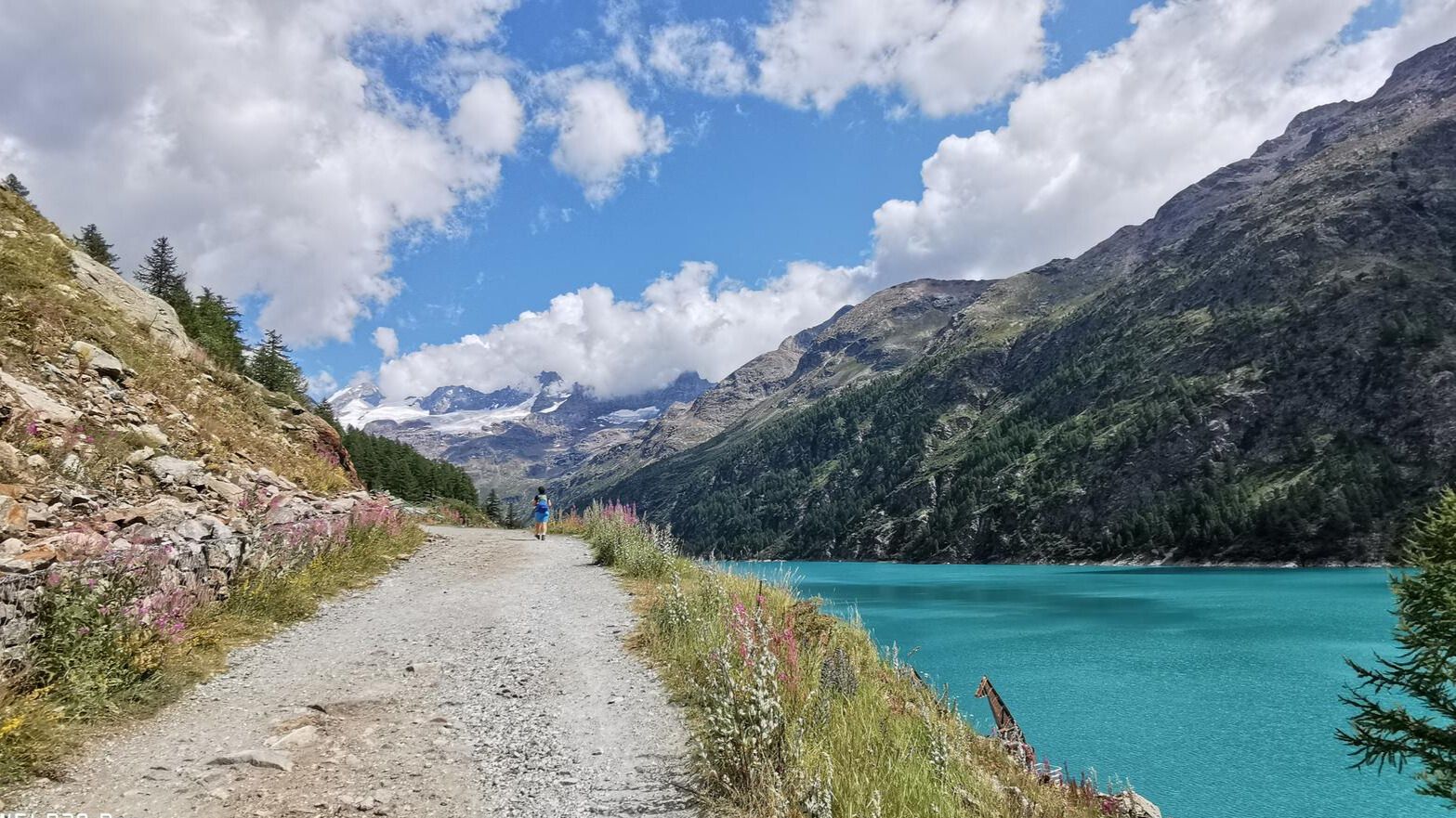
Hiking around the Dora Baltea offers diverse terrain, from its glacial origins in the Mont Blanc massif to the verdant valleys of Aosta and Piedmont. The region is characterized by towering peaks, including Mont Blanc and Gran Paradiso, and a landscape that transitions from rocky, icy high-altitude areas to extensive forests and pastures. Numerous tributaries feed into the Dora Baltea, and the area features several lakes, providing varied natural settings for outdoor activities.
Best hiking trails around the Dora Baltea
- The most popular hiking route is Vetan to Rifugio Mont Fallère Sculpture Trail, a 6.0 miles (9.7 km) trail that takes 4 hours 10 minutes to complete. This moderate route features a unique sculpture trail leading to a mountain hut.
- Another top favourite among local hikers is Climb to Rifugio Bertone, a moderate 3.6 miles (5.8 km) path. This trail offers a steady ascent to a well-known mountain refuge with panoramic views.
- Local hikers also love the Tour du Mont Blanc: Rifugio Bertone to Rifugio Bonatti, a 9.2 miles (14.7 km) trail leading through high alpine landscapes, often completed in about 5 hours 20 minutes.
- Hiking around the Dora Baltea is defined by high alpine passes, glacial valleys, and extensive forest paths. The network offers options for different ability levels, from easy lakeside walks to challenging multi-day treks.
- The routes in Dora Baltea are highly rated by the komoot community with an average score of 4.4 stars from more than 4,800 reviews. More than 30,000 hikers have used komoot to explore Dora Baltea's varied terrain.
Last updated: July 7, 2026
4.7
(141)
744
hikers
9.65km
04:11
610m
620m
Embark on a unique moderate hike along the Vetan to Rifugio Mont Fallère Sculpture Trail, where art meets the alpine landscape. As you ascend, you will discover hundreds of wooden sculptures hidden among the trees and along the path, transforming your journey into an open-air gallery experience. This route covers 6.0 miles (9.7 km) and involves a significant climb of 2016 feet (614 metres), making it a rewarding challenge. Expect to spend around 4 hours and 10 minutes completing this trail at a steady pace. The path winds through forest sections, revealing charming animal and human figures at every turn, leading you towards the high mountain basin where the refuge awaits.
To begin your adventure, head to Vetan and look for the trailhead located above Hotel Notre Maison. The route follows numbered path 13, which is well-marked and easy to navigate. Parking is typically available near the starting point in Vetan, but it is always a good idea to check local conditions, especially during peak season. This trail is best enjoyed in fair weather, allowing you to fully appreciate both the sculptures and the surrounding mountain views. Plan to start your hike in the morning to allow ample time to reach the refuge and return.
What makes this trail truly special is the dedication of Siro Viérin, the manager and builder of Rifugio Mont Fallère, who created most of the more than 400 sculptures. These artworks, depicting local wildlife and scenes of everyday life, are thoughtfully placed along the path, adding a cultural dimension to your mountain hike. The refuge itself offers traditional mountain food and boasts a terrace with stunning views of the surrounding peaks, including Mont Fallère and Monte Rosso di Vertosan. This artistic journey offers a memorable blend of nature, art, and alpine hospitality.
4.5
(50)
409
hikers
5.75km
03:16
590m
590m
The Climb to Rifugio Bertone offers a moderate hiking experience, taking you through varied terrain from forests to alpine meadows. As you ascend, you will find natural balconies providing continuous views of glaciers and towering peaks, including the Mont Blanc massif and the unique "bifurcated tongue" of the Miage Glacier. This 3.6-mile (5.7 km) route involves an elevation gain of 1936 feet (590 metres) and typically takes around 3 hours and 15 minutes to complete.
Planning your visit, you should know that the difficulty can vary depending on your starting point. Routes from Plampincieux in Val Ferret are generally considered easier, suitable for families. However, if you start directly from Courmayeur or Villair Superiore, expect a steeper and more challenging climb over a wooded slope, recommended for more experienced hikers. Good fitness and sure-footedness are generally required for this trail.
This hike is notable for its unparalleled panoramic views, especially from an orientation table near the refuge. Rifugio Bertone itself, located at 2000 meters altitude, is a significant stop along the famous Tour du Mont Blanc and Alta Via No. 1 of the Aosta Valley. The refuge offers accommodation and meals, serving as a historical haven for mountaineers, and you might even spot wildlife like chamois, ibex, or marmots along the way.

Sign up for free
4.9
(54)
456
hikers
14.7km
05:20
460m
460m
Embark on a challenging hike along the Tour du Mont Blanc, traversing the section from Rifugio Bertone to Rifugio Bonatti. This route offers continuous panoramic views high above Val Ferret in Italy, following an undulating balcony path through forests and mountain pastures. You will cover 9.2 miles (14.7 km) with an elevation gain of 1496 feet (456 metres), typically taking around 5 hours and 19 minutes to complete.
When planning your visit, be aware that while much of this trail is considered moderate after the initial climb to Rifugio Bertone, the final push up to Rifugio Bonatti is short but steep. Always check local conditions before you go, especially concerning snow, as this can significantly impact the trail. The route does not involve major cols, making it a more accessible option for experiencing the Tour du Mont Blanc.
This segment of the iconic Tour du Mont Blanc provides magnificent vistas of the Mont Blanc massif, including the jagged pinnacles of the Grandes Jorasses. From the knoll above Rifugio Bertone, you can enjoy stunning 360-degree views, with Mont Blanc appearing incredibly close across the valley. For those seeking an even greater challenge, a variant route along the Mont de la Saxe ridge offers significant additional elevation gain.
4.8
(33)
270
hikers
14.6km
07:19
1,240m
1,240m
Embark on a challenging ridge hike from Trappa to Mont de la Saxe, a difficult route spanning 9.1 miles (14.6 km) with a substantial elevation gain of 4057 feet (1237 metres). This demanding journey typically takes around 7 hours and 18 minutes to complete, offering an immersive mountain experience. As you ascend, you'll traverse varied terrain, from forested slopes to open ridges, leading you towards the panoramic vistas of the Mont Blanc massif. The highlight is undoubtedly the expansive views from the Mont de la Saxe ridge, where the majestic peaks dominate the horizon. You'll feel the crisp mountain air and witness the dramatic landscape unfold with every step.
To prepare for this strenuous hike, ensure you carry plenty of water, wear sturdy hiking boots, and pack layers of clothing to adapt to changing mountain weather conditions. The trail begins in Trappa and concludes in Villair, so consider your transportation logistics for both ends of the route. While specific parking details are not provided, accessing Trappa by car is generally straightforward. Starting early in the morning is advisable to allow ample time to complete the route before dusk, especially given its duration.
This route offers a unique perspective on the Valle d'Aosta, connecting you with both the raw beauty of high peaks and the rich cultural heritage of the region. You'll pass by the welcoming Rifugio Giorgio Bertone, a perfect spot to refuel and enjoy the views before continuing your descent. The trail provides an exceptional opportunity to witness the Mont Blanc, the Aiguille Noire du Peuterey, and Courmayeur from an elevated vantage point. It's a journey that combines physical exertion with profound scenic rewards, making it a memorable experience for seasoned hikers.
4.5
(62)
216
hikers
5.25km
01:26
80m
80m
Embark on the Lake Sirio and Terre Ballerine Loop Trail, an easy hike covering 3.3 miles (5.2 km) with a gentle elevation gain of 254 feet (77 metres). You can complete this scenic route in about 1 hour and 25 minutes, making it perfect for a quick escape into nature. The path winds through comfortable woodland sections and along the tranquil shores of Lake Sirio, offering varied terrain. As you hike, you will encounter the unique "Terre Ballerine", where the ground feels springy underfoot. Enjoy views of the lake, surrounding hills, and even distant glimpses of the Alps and Montalto Dora Castle.
This easy trail welcomes hikers of all fitness levels and is very family-friendly, making it an ideal choice for a leisurely outing. While some sections are fine for sneakers, wearing hiking boots is recommended to provide better support, especially when navigating the woodland paths. If you are bringing very young children, consider using a sports stroller or a baby carrier for comfort through the forested parts of the route. The route is generally accessible, offering a straightforward experience for those looking to enjoy nature without significant challenges.
The trail is located within the Amphitheatre Morenico di Ivrea, a region known for its glacial formations. A highlight of this route is undoubtedly the "Terre Ballerine", or Dancing Lands, a natural phenomenon where the ground literally bounces under your feet due to a unique peat layer beneath the surface. This distinctive feature sets the trail apart, offering a memorable and unusual experience. The diverse scenery, from serene lake views to the playful "Dancing Lands", makes this loop a notable option in the area.
4.6
(60)
195
hikers
4.95km
01:21
70m
70m
Embark on an easy 3.1-mile (4.9 km) hike around Lake Sirio and the Dancing Lands, a route that takes about 1 hour and 20 minutes to complete. You'll experience a gentle elevation gain of 226 feet (69 metres) as you pass through vineyards and peaceful chestnut woods. The trail offers views of Montalto Dora Castle and leads you to the unique "Terre Ballerine" where the ground subtly sways beneath your feet.
This easy hike is suitable for most fitness levels, featuring a mix of unpaved sections, asphalt, paved surfaces, and natural gravel paths. You'll find parking generally available close to the trailheads, making it convenient to begin your adventure. The varied terrain ensures an engaging walk without being overly challenging.
The route explores two of the "Five Lakes of Ivrea," Lake Sirio and Lake Pistono, both glacial in origin. A distinctive feature is the "Terre Ballerine," or Dancing Lands, an old peat bog where the ground has a peculiar, soft bounce as you walk. This natural phenomenon adds a fun and memorable element to your journey through this scenic area.
4.8
(40)
302
hikers
16.9km
08:20
1,360m
1,360m
Embark on Trail 21 to Liconi Lake from Morge, a challenging hike that takes you through the diverse landscapes of the Aosta Valley. You will climb through wooded areas and expansive alpine pastures, eventually reaching the tranquil Liconi Lake. This difficult route covers 10.5 miles (16.9 km) with a significant elevation gain of 4449 feet (1356 metres), requiring approximately 8 hours and 20 minutes to complete.
To begin your adventure, head to Morge, a small hamlet within La Salle, where you can find parking close to the trailhead. The route is clearly marked as Trail 21. This is a demanding full-day hike, so ensure you are well-prepared physically and carry sufficient supplies for alpine conditions. Planning for an early start is advisable to make the most of daylight hours.
Beyond Liconi Lake, the trail continues its ascent to the Col de Licony, where you are rewarded with sweeping panoramic views of the majestic Mont Blanc massif. Keep an eye out for local wildlife; you might be lucky enough to spot marmots or chamois along the way, adding to the unique alpine experience of this route.
4.5
(30)
188
hikers
3.78km
01:01
40m
40m
The Lake Sirio and the Dancing Lands Loop offers an easy hiking experience, perfect for a quick outdoor escape. You will hike 2.3 miles (3.8 km) around the deep, calm waters of Lake Sirio, gaining a gentle 138 feet (42 metres) in elevation. This accessible route takes about 1 hour to complete, guiding you through lush nature. As you follow the path, you will transition from open lake views to dense forests, enjoying a tranquil atmosphere throughout. Keep an eye out for the small beaches and wooden piers along the lake, offering peaceful spots to pause.
This easy loop is suitable for all fitness levels, making it a great choice for families with children. While some sections are manageable with a sports stroller, a baby carrier is recommended for the more wooded parts of the trail to ensure comfort and ease of movement. The route is well-marked with clear signs and colored indicators, so you can easily follow the path without getting lost. Consider visiting during the morning or late afternoon for cooler temperatures and softer light, enhancing your experience around the lake. Parking is generally available near the lake, but it's always a good idea to check local information for specific access points and any potential fees.
A unique feature of this area is the "Terre Ballerine" or Dancing Lands, where the ground feels elastic and bouncy underfoot, offering a peculiar sensation as you hike. This natural phenomenon adds an interesting twist to your journey within the Riserva Laghi di Ivrea. You will also pass by the historic Chapel of St. Peter Martyr, providing a glimpse into the local heritage. This trail stands out for its blend of natural beauty and distinctive geological characteristics, making it a memorable outing.
4.8
(21)
260
hikers
7.63km
02:06
120m
120m
Embark on the Plan Ponquet - Peuterey - Visaille (Three Bridges Loop), a moderate hike that takes you through the scenic Val Veny. This route spans 4.7 miles (7.6 km) and involves a gentle elevation gain of 405 feet (123 metres), making it a rewarding experience for most hikers. As you follow the dirt road and wide mule track, you will pass through a tranquil forest of fir trees alongside the Dora river, with impressive views of the Mont Blanc massif and glaciers like the Brenva and Miage unfolding around you.
Allow approximately 2 hours and 5 minutes to complete this loop at a steady pace. The trail is easily accessible near Courmayeur, offering a convenient starting point for your adventure. While specific parking information is not detailed, you might consider local transport options if you prefer not to drive directly to the trailhead, ensuring a smooth start to your day.
A unique highlight of this trail is the opportunity to cross the three distinct bridges that give the loop its memorable name. This feature, combined with the stunning natural backdrop of the Val Veny, makes the route stand out. It provides a wonderful way to immerse yourself in the alpine environment and enjoy the picturesque panoramas of the valley.
4.3
(22)
79
hikers
7.31km
02:41
450m
450m
Embark on the Arpuilles Panoramic Trail, a moderate hike that takes you through the diverse landscapes of the Aosta Valley. You will traverse dense conifer forests before emerging into high-altitude meadows, offering sweeping panoramic views of iconic peaks like Mont Blanc and the Matterhorn. This rewarding half-day route covers 4.5 miles (7.3 km) with a total elevation gain of 1478 feet (450 metres), typically taking around 2 hours and 41 minutes to complete.
When planning your visit, remember that trails in the Aosta Valley are generally well-marked with yellow and black signs, which indicate the route, destination, and estimated walking times. While no specific warnings are noted for this particular route, it is always wise to check local conditions before you head out, especially concerning weather and any seasonal changes. Parking is usually available near trailheads in the region, but confirming this in advance is a good idea.
Beyond the natural beauty, the Arpuilles Panoramic Trail also offers a cultural touch as you pass by the historic Church of Excenex. This adds another layer to your alpine journey, blending natural exploration with a glimpse into the region's heritage. The trail's varied terrain and stunning vistas make it a notable option for experiencing the Aosta Valley's unique environment.
Get access to more routes and recommendations from other explorers.
Sign up for free
Already have an account?
Our route recommendations are based on thousands of hikes, rides, and runs completed by other people on komoot.
Start today with a free account
Your next adventure awaits.
Login or Signup
Popular around Dora Baltea

Alta Via n. 1 of the Aosta Valley — a walk among Italian giants
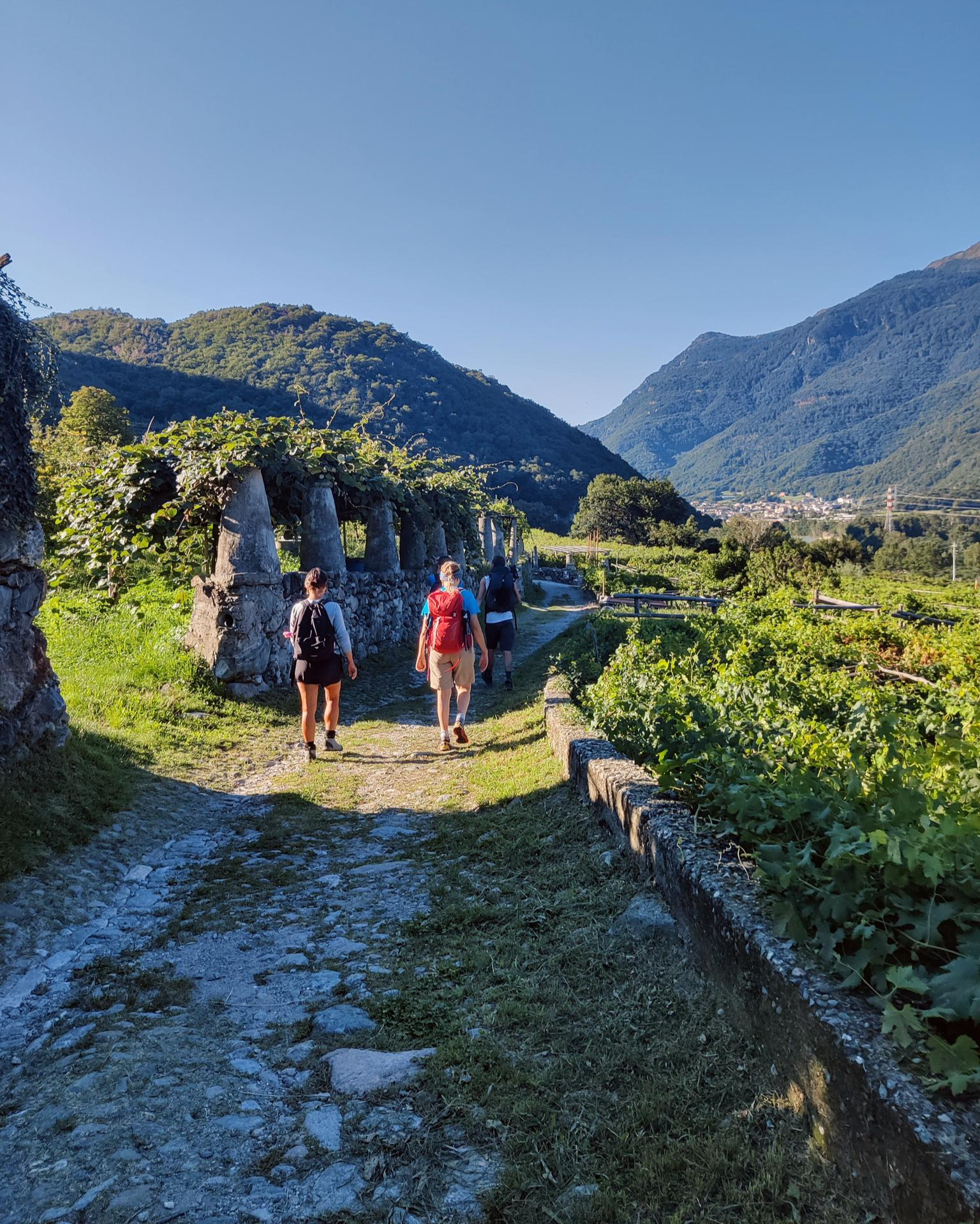
Piemont's Via Francigena

GTA Central Piedmont – Dense forests, lakes and impressive waterfalls
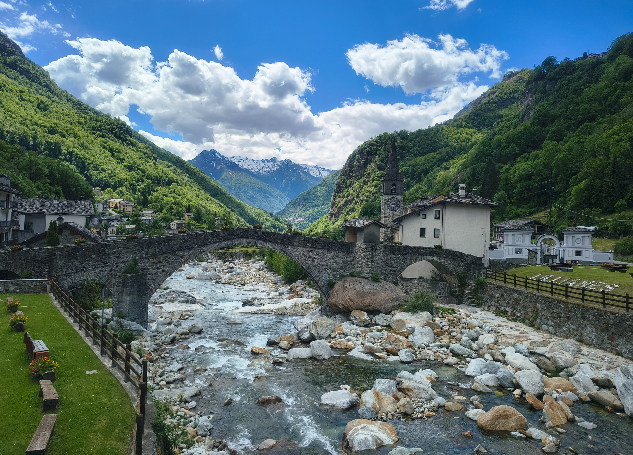
Three days on the Cammino Balteo – The historic Aosta Valley

Cammino Balteo – castles, vineyards and trails of the Aosta Valley

Alta Via n. 2 of the Aosta Valley — high peaks and beautiful valleys in Italy
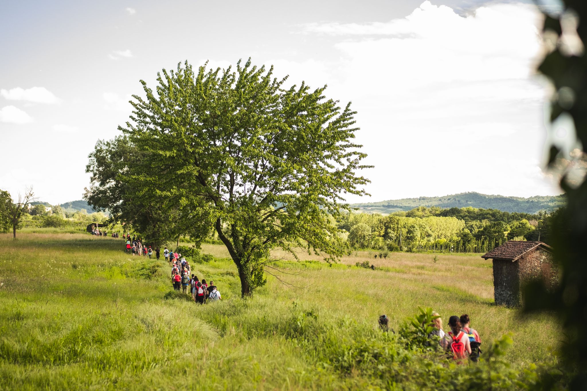
Via Francigena in Canavese – complete route and 'for all' section

Paths, castles and views of Italy’s Aosta Valley – Cammino Balteo
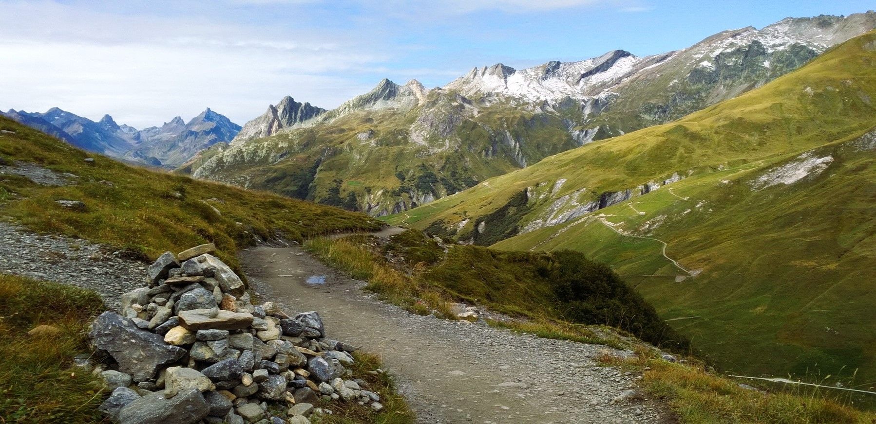
At the foot of Mont Blanc – a trek around Courmayeur
In the footsteps of the first mountaineers – Valpelline Trek
Other adventures around the Dora Baltea


Tips from the Community

Pier on the lake with excellent views for photos
0
0

From the catwalk, we saw the catfish slowly emerging from the water and then sinking again (impressive, it can reach 2.5 meters in length and 130 kg) 29/11/25
1
0

Beautiful walkway from where you can admire Lake Sirio!
0
1

Breathtaking views, check out the cake!
0
0

Please note that if it has rained it will most likely be inaccessible.
0
0
Breathtaking landscapes but watch out for roots and rocks, some pieces are exposed
0
0
The trip to and from Planaval takes 5 hours. Good physical fitness and experience of staying above 2,000 meters are recommended.
0
0
Frequently Asked Questions
How many hiking trails are available in the Dora Baltea region?
The Dora Baltea region offers a vast network of hiking trails, with over 1,100 routes recorded on komoot. These range from easy strolls to challenging alpine treks, catering to all levels of experience.
What kind of terrain can I expect when hiking around the Dora Baltea?
The terrain around the Dora Baltea is incredibly diverse, reflecting its journey from the Mont Blanc massif through the Aosta Valley. You'll find everything from high alpine passes and glacial valleys with rocky and icy sections, to extensive forests, verdant pastures, and paths alongside picturesque lakes. The region's landscape transitions from towering peaks to rolling hills and plains.
Are there hiking options for all skill levels in Dora Baltea?
Yes, the Dora Baltea region provides hiking opportunities for every skill level. Approximately 230 routes are considered easy, perfect for leisurely walks. There are also around 590 moderate trails, and for experienced hikers seeking a challenge, nearly 290 difficult routes are available, often involving significant elevation gain and alpine conditions.
What are some notable natural features or landmarks to see while hiking in Dora Baltea?
The Dora Baltea region is rich in natural beauty and historical landmarks. You can explore stunning glacial landscapes, numerous lakes such as Lake Pistono and Lake Ville, and unique geological formations like The Dancing Lands. The area is also dotted with ancient villages, medieval castles like Mazzè Castle and Fort Bard, and mountain huts such as Rifugio Bertone, offering both natural and cultural points of interest.
Are there any family-friendly hiking trails in the Dora Baltea area?
Yes, the Dora Baltea region offers several family-friendly options, particularly along the valley floor and around its lakes. Trails like the Lake Sirio and Terre Ballerine Loop Trail are generally easy and suitable for families. The Cammino Balteo also features stages that are accessible and pass through charming villages and vineyards, making them enjoyable for various ages.
Can I find circular hiking routes in the Dora Baltea region?
Yes, circular routes are available, allowing you to start and end your hike in the same location. An example is the Lake Sirio and Terre Ballerine Loop Trail, which offers a pleasant circuit around the lake. Many other trails can be combined to form circular walks, especially in the lower and mid-altitude areas.
What is the best time of year to hike in Dora Baltea?
The best time to hike in Dora Baltea largely depends on the altitude and type of trail. Lower and mid-altitude trails, including sections of the Cammino Balteo, are accessible for much of the year, often from spring through autumn. For high alpine treks, the summer months (July to September) are ideal when snow has melted and mountain huts are open. Some routes, particularly those at lower elevations, may also be suitable for winter hiking, but conditions can vary greatly.
Are there dog-friendly hiking trails in the Dora Baltea Valley?
Many trails in the Dora Baltea Valley are suitable for hiking with dogs, especially those in forests and along valley paths. However, it's always recommended to check local regulations for specific areas, particularly in nature reserves or high alpine zones, and to keep dogs on a leash for their safety and to protect wildlife. Ensure your dog is fit for the chosen trail and carry enough water for both of you.
Are there mountain huts or accommodation options along the trails?
Yes, for multi-day treks or longer hikes, the Dora Baltea region offers mountain huts that provide lodging and meals. A well-known example is Rifugio Bertone, located at 2000 meters, which serves as a popular stop for hikers. These huts are essential for exploring the higher alpine routes and offer a unique experience.
What do other hikers enjoy most about hiking in Dora Baltea?
The Dora Baltea region is highly rated by the komoot community, with an average score of 4.4 stars from over 4,800 reviews. Hikers often praise the diverse landscapes, from glacial origins to verdant valleys, and the extensive network of trails that cater to all abilities. The presence of unique features like the sculpture trail on the way to Rifugio Mont Fallère and the panoramic views of Mont Blanc are frequently highlighted as memorable experiences.
Are there any easy day hikes with estimated durations in Dora Baltea?
Yes, there are several easy day hikes. For instance, the Lake Sirio and Terre Ballerine Loop Trail is an easy route covering about 5.2 km and typically takes around 1 hour 25 minutes. Another option is the Plan Ponquet - Peuterey - Visaille (Three Bridges Loop), a moderate 7.6 km trail that can be completed in about 2 hours 5 minutes, offering scenic views without excessive difficulty.
What are the public transport options for accessing Dora Baltea hiking trails?
Public transport options exist to reach various towns and trailheads within the Dora Baltea region, particularly in the Aosta Valley and Piedmont. Buses connect major towns like Aosta, Châtillon, and Ivrea, from which local services or short taxi rides might be available to reach specific starting points. For some remote alpine trailheads, public transport might be limited, requiring private vehicle access or specialized shuttle services.
Most popular routes around the Dora Baltea
Most popular attractions around the Dora Baltea

Get inspired with the komoot mobile app


Explore more
Browse the best Hikes in other regions.
