The best cycling routes around Pleasant Hill
4.6
(56)
347
riders
41
rides
Touring cycling routes around Pleasant Hill are characterized by a diverse network of trails, ranging from flat, paved paths to routes with significant elevation gains. The region features rolling green hills, canyons, and prominent natural landmarks. Cyclists can explore varied terrain, including multi-use paths and more challenging loops. The landscape offers a mix of natural surroundings within accessible areas.
Best touring cycling routes around Pleasant Hill
- The most popular touring cycling route is Mark C. Ackelson Trail, a 5.4…
Last updated: July 2, 2026
5.0
(2)
12
riders
8.65km
00:31
20m
20m
Easy bike ride. Great for any fitness level. Mostly paved surfaces. Suitable for all skill levels.
116km
06:52
460m
460m
Hard bike ride. Very good fitness required. Mostly paved surfaces. Suitable for all skill levels.

Sign up for free
5.0
(4)
24
riders
30.3km
01:46
110m
110m
Easy bike ride. Great for any fitness level. Mostly paved surfaces. Suitable for all skill levels.
3.7
(3)
7
riders
38.5km
02:13
130m
130m
Moderate bike ride. Good fitness required. Mostly paved surfaces. Suitable for all skill levels.
5.0
(1)
4
riders
9.76km
00:36
50m
50m
Easy bike ride. Great for any fitness level. Mostly paved surfaces. Suitable for all skill levels.
Get access to more routes and recommendations from other explorers.
Sign up for free
Already have an account?
Our route recommendations are based on thousands of hikes, rides, and runs completed by other people on komoot.
Start today with a free account
Your next adventure awaits.
Login or Signup
Popular around Pleasant Hill

Tips from the Community

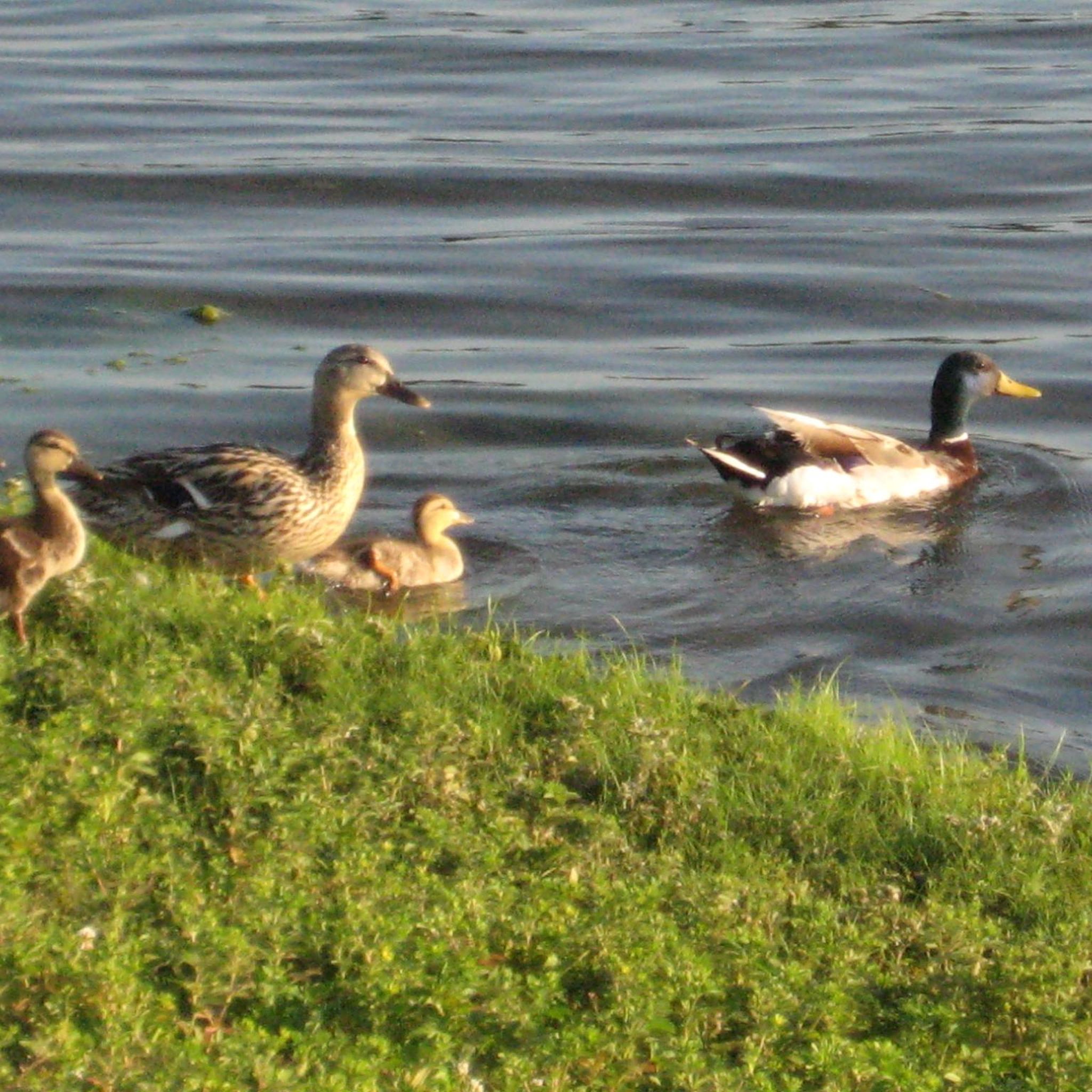
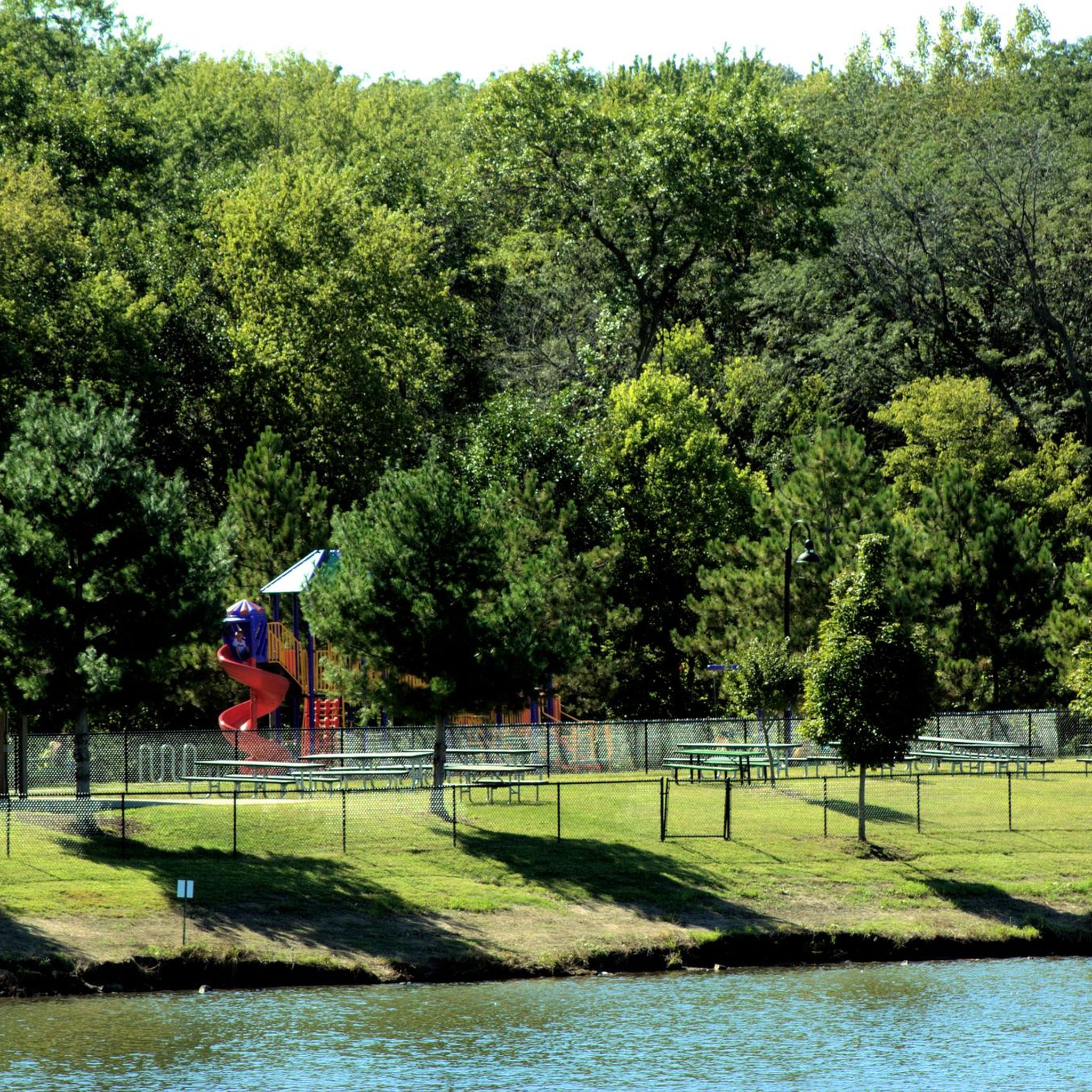
Great walking trail around the lake. The park also has inclusive playgrounds and rest rooms.
0
0

Copper Creek Lake Park is located in Pleasant Hill, Iowa, and is a 40-acre park featuring a freshwater lake surrounded by a paved, mile-long trail. This trail is popular with walkers, joggers, and cyclists, and is part of the Four Mile Creek Greenway Trail system, which connects Pleasant Hill to other communities in the Des Moines Metropolitan Area. The park offers a variety of amenities, including a playground, picnic areas, open green spaces, and a reservable shelter equipped with picnic tables, a charcoal grill, and electrical outlets. There are also bathrooms and parking available here.
0
0

If you follow this stretch of the West Gay Lea Wilson Trail, you'll cross the Fourmile Creek Greenbelt, a 102-acre wildlife area located alongside the creek that inspires its name. The paved path is in great condition.
1
0

The lake is popular on weekends for fishing and boating. There is a large parking lot along with a picnic area and a grill pavilion. The nearby restaurants and a coffee shop over the road make the lake a great meeting point to start your ride or have a mid-ride break. You can do a full lap of the lake on the Gay Lea Wilson Trail.
0
0

As you make your way over the bridge you will catch views of the Raccoon River, a tributary of the Des Moines River. Stretching over 30.8 miles, this river winds through an area of intense cultivation, including croplands and livestock farming. Since the 19th century, the Des Moines metropolitan area has relied on this river for drinking water, although it faced challenges during the Great Flood of 1993.
0
0
The lake is popular on weekends for fishing and boating. There is a large parking lot along with a picnic area and a grill pavilion. The nearby restaurants and a coffee shop over the road make the lake a great meeting point to start your ride or have a mid-ride break. You can do a full lap of the lake on the Gay Lea Wilson Trail.
0
0

Easter Lake Park is built on an old coal mine. The park has something for everyone: there is a 4 mile biking and walking trail that encircles the lake, picnic areas and a docks that allows visitors to fish for walleye, bass and catfish. The park is also home to Owens Covered Bridge, which is the only covered bridge in Polk County.
1
0
Easter Lake Park is built on an old coal mine. The park has something for everyone: there is a 4 mile biking and walking trail that encircles the lake, picnic areas and a docks that allows visitors to fish for walleye, bass and catfish. The park is also home to Owens Covered Bridge, which is the only covered bridge in Polk County.
0
0
Frequently Asked Questions
How many touring cycling routes are available around Pleasant Hill?
There are over 35 touring cycling routes around Pleasant Hill, offering a diverse network of trails for various skill levels. These include easy, moderate, and difficult options.
What do other cyclists enjoy about touring in Pleasant Hill?
The touring cycling routes in Pleasant Hill are highly rated by the komoot community, with an average score of 4.6 stars from over 30 reviews. Cyclists often praise the diverse terrain, from flat paved paths to challenging loops, and the accessible natural features.
Are there easy touring cycling routes for beginners or families in Pleasant Hill?
Yes, Pleasant Hill offers several easy touring cycling routes perfect for beginners and families. The Mark C. Ackelson Trail is a popular 5.4-mile option with minimal elevation gain. Another great choice is the Meredith Trail, which is 7.7 miles long and leads through urban green spaces.
What are some challenging touring cycling routes for experienced riders?
For experienced riders seeking a challenge, the region offers routes with significant elevation gains and diverse scenery. The High Trestle Trail and Neal Smith Trail Loop is a difficult 71.9-mile route with considerable elevation. Beyond the immediate guide, the Carquinez Strait Loop and Briones Reservoir Loop are known for their challenging terrain and scenic views.
Are there any long-distance touring cycling routes in the area?
Yes, for longer rides, the Neal Smith Trail offers a moderate 35.7-mile path with varied terrain. For an even longer option, the High Trestle Trail and Neal Smith Trail Loop extends to nearly 72 miles.
What kind of landscapes can I expect to see while cycling around Pleasant Hill?
Pleasant Hill's touring cycling routes feature diverse landscapes, including rolling green hills, shady canyons, and accessible natural features. You'll find multi-use paths through urban green spaces, as well as routes offering panoramic views of Mount Diablo and the Diablo Valley, especially in areas like Briones Regional Park.
Are there any notable landmarks or attractions along the cycling routes?
Yes, several interesting landmarks and attractions can be found near or along the cycling routes. You can visit the Iowa Women of Achievement Bridge, explore Gray's Lake Park, or see the Robert D. Ray Asian Gardens. The Principal Riverwalk also offers scenic views.
Is the Iron Horse Trail accessible from Pleasant Hill, and what is it like?
Yes, the Iron Horse Trail is a significant multi-use path accessible from Pleasant Hill. This 32-mile trail, built on an abandoned railroad route, offers a mostly flat and shaded ride, making it excellent for continuous cycling. It connects Pleasant Hill to other towns and features good bike infrastructure.
Are there any loop cycling routes in the Pleasant Hill area?
Yes, for those who prefer circular routes, options like the High Trestle Trail and Neal Smith Trail Loop provide a comprehensive touring experience without retracing your path. Regionally, the Carquinez Strait Loop and Briones Reservoir Loop are also popular for their scenic, circular journeys.
What is the best time of year for touring cycling in Pleasant Hill?
Pleasant Hill offers good cycling conditions for much of the year. Spring and fall generally provide the most pleasant weather with mild temperatures. Summer can be warm, but many trails, like sections of the Iron Horse Trail, offer shade. Winters are typically mild, allowing for year-round cycling, though some routes might be affected by rain.
Are there options for public transport to reach trailheads in Pleasant Hill?
Pleasant Hill has public transportation options that can help you reach various areas, including some trailheads. The BART system serves Pleasant Hill, and local bus services can connect you to different parts of the city and surrounding parks. It's advisable to check specific routes and schedules for bike accessibility.
Where can I find parking for bike trails in Pleasant Hill?
Many parks and trail access points in and around Pleasant Hill offer designated parking areas. For popular trails like the Iron Horse Trail or access points to Briones Regional Park, you'll typically find parking lots available. Specific parking details can often be found on local park district websites or within komoot tour descriptions.
Most popular routes around Pleasant Hill
Most popular attractions around Pleasant Hill

Get inspired with the komoot mobile app


Explore more
Browse the best Cycling routes in other regions.
