The best walks and hikes around Digrių miškas
4.6
(147)
3,380
hikers
51
hikes
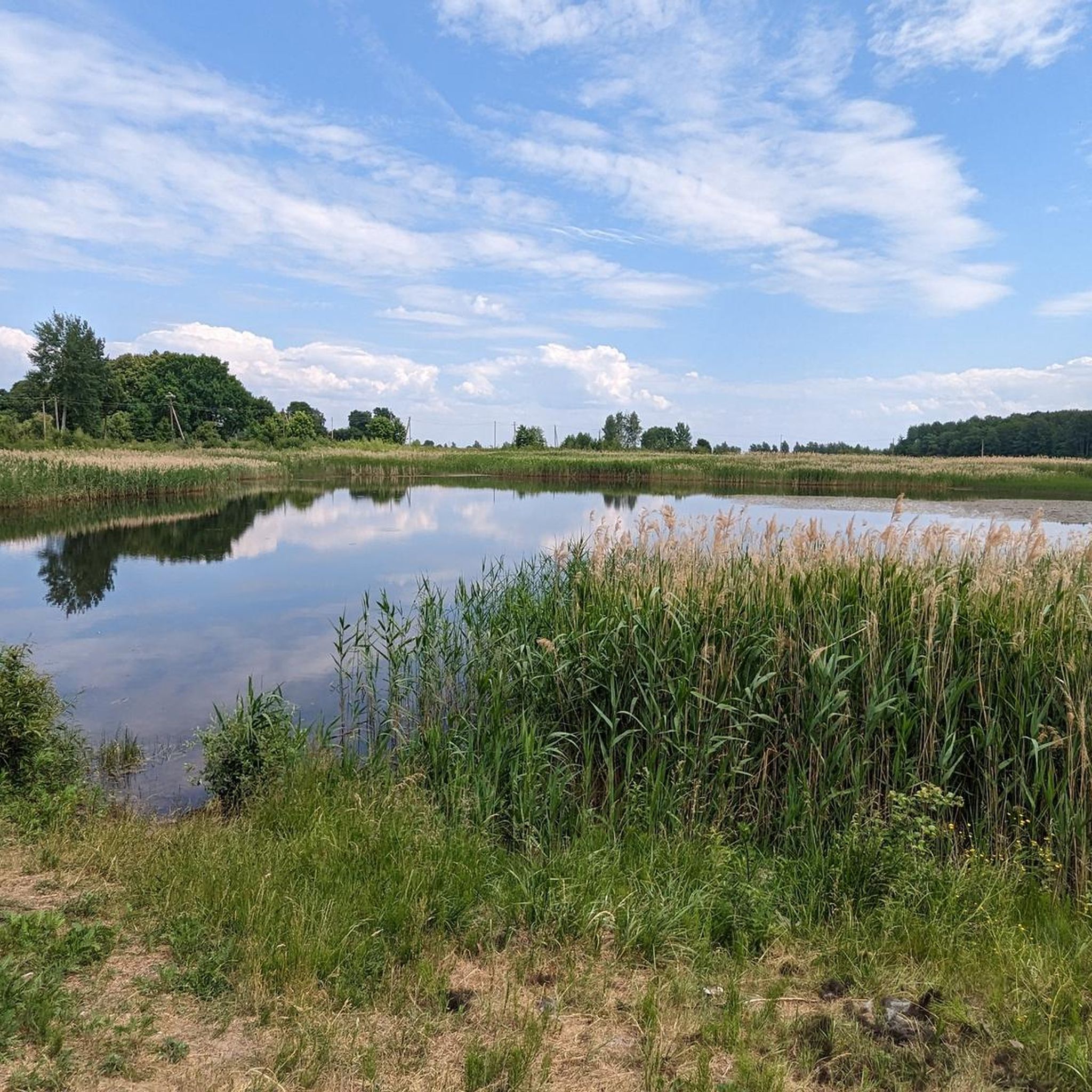
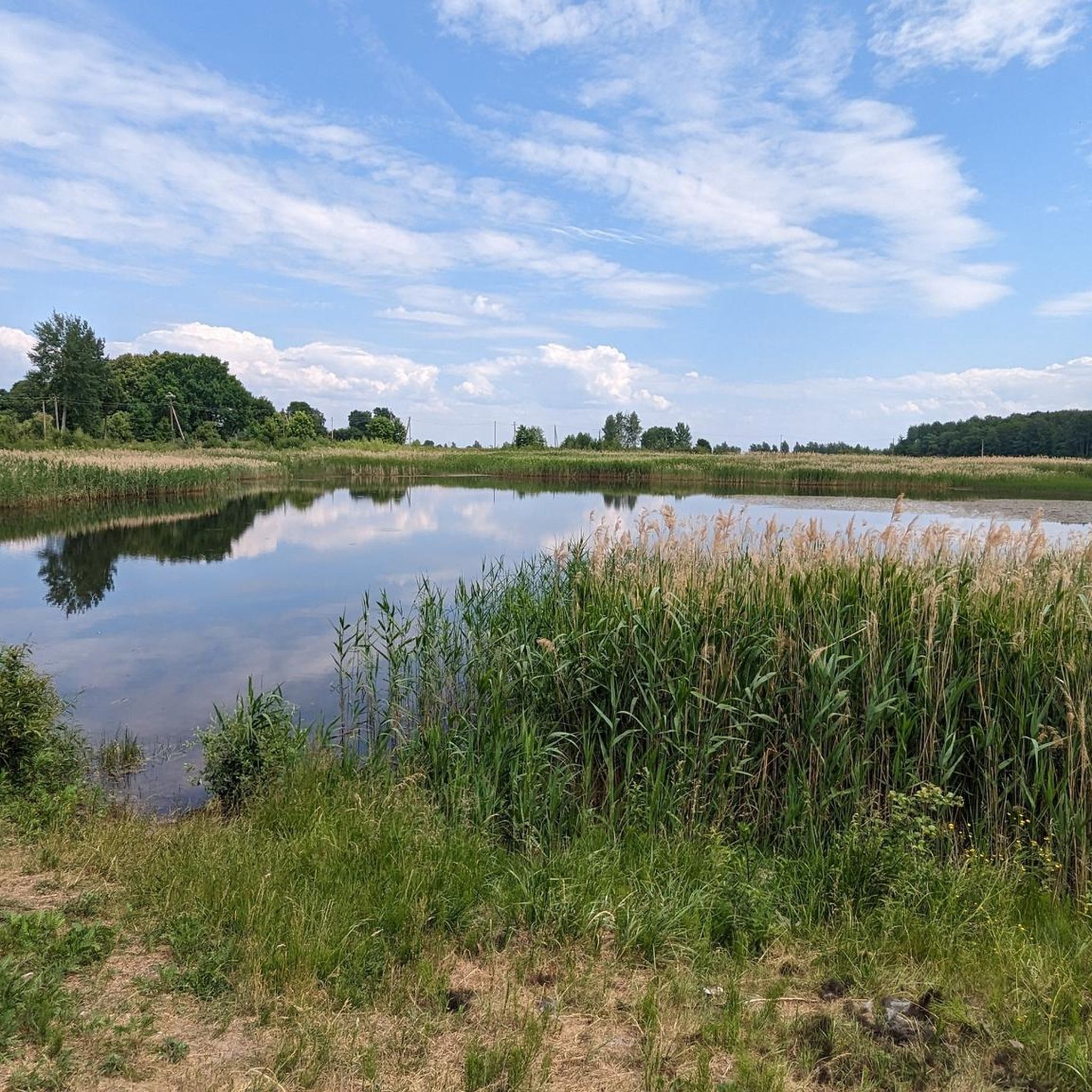
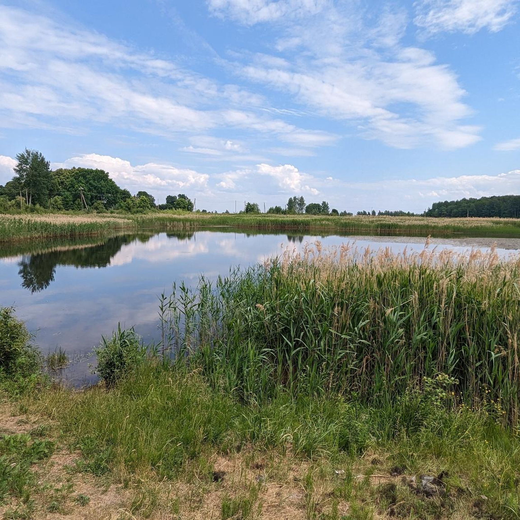
Hiking around Digrių miškas offers exploration through a landscape characterized by dense woodlands and abundant water bodies, including numerous rivers and ponds. The forest is situated near several nature reserves, indicating a broader region of ecological significance. This area provides opportunities for nature observation and varied outdoor experiences. The terrain generally features gentle elevation changes, making it accessible for diverse hiking preferences.
Best hiking trails around Digrių miškas
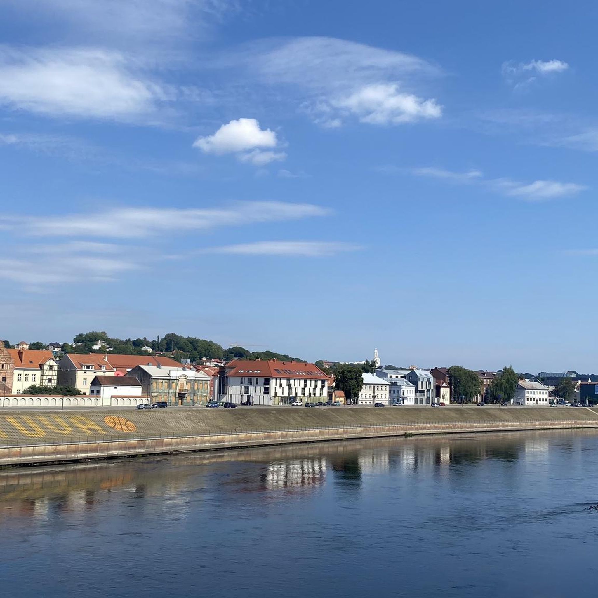
- The most popular hiking route is View of the River – Pypliai…
Last updated: July 10, 2026
3.3
(3)
12
hikers
20.6km
05:23
140m
140m
Hard hike. Very good fitness required. Easily-accessible paths. Suitable for all skill levels.
7
hikers
Moderate hike. Good fitness required. Easily-accessible paths. Suitable for all skill levels.

Sign up for free
5.0
(1)
3
hikers
11.7km
02:58
30m
30m
Moderate hike. Good fitness required. Easily-accessible paths. Suitable for all skill levels.
4.0
(2)
13
hikers
16.2km
04:12
100m
100m
Moderate hike. Good fitness required. Easily-accessible paths. Suitable for all skill levels.
5.0
(1)
20
hikers
21.6km
05:35
120m
120m
Hard hike. Very good fitness required. Easily-accessible paths. Suitable for all skill levels.
Get access to more routes and recommendations from other explorers.
Sign up for free
Already have an account?
Our route recommendations are based on thousands of hikes, rides, and runs completed by other people on komoot.
Start today with a free account
Your next adventure awaits.
Login or Signup

Tips from the Community

The building dates from the 15th century and originally served as an office of the Hanseatic League. The name derives from a figurine of the pagan deity Perkun, which was discovered in the building's wall in the 19th century.
0
0

The castle was originally built in 1367.
1
0
Impressive equestrian statue right next to Kaunas Castle.
1
0
The brick building was built around 1500.
1
0

Perfect rest spot as there is a toilet close by and also a little shop plus a restaurant about 80m away.
0
0
There are open-air changing rooms, outdoor showers, toilets & a little restaurant here. At one side of the beach, there is also the Wakeboard Centre.
0
0


Frequently Asked Questions
How many hiking trails are available around Digrių miškas?
There are over 50 hiking routes available around Digrių miškas, catering to various preferences. This includes 30 easy, 17 moderate, and 5 difficult trails, ensuring options for all skill levels.
What kind of natural features can I expect to see while hiking in Digrių miškas?
Digrių miškas is characterized by its abundant water bodies, including numerous rivers like the Nemunas, and several ponds and lakes such as Lampėdis lake. The forest is also situated near several nature reserves, offering diverse habitats and opportunities for nature observation.
Are there any circular hiking routes in the area?
Yes, many routes around Digrių miškas are designed as loops. For example, you can explore the View of the River – Pypliai Mound loop from Ringaudai, or the Hiking loop from Kazliškiai, which takes you through local woodlands and open areas.
Are the hiking trails around Digrių miškas suitable for families with children?
Yes, with 30 easy routes, the area offers many options suitable for families. The generally gentle elevation changes in Lithuanian forests make them accessible for younger hikers, providing a refreshing and informative walk without significant physical demands.
Can I bring my dog on the hiking trails?
While specific regulations for Digrių miškas are not detailed, generally, dogs are welcome on trails in Lithuanian forests, often requiring them to be on a leash. It's always advisable to check local signage or park rules for any specific restrictions before heading out.
What is the best time of year to go hiking in Digrių miškas?
Lithuanian forests, including Digrių miškas, are enjoyable throughout the warmer months, from spring to autumn. Spring brings lush greenery and blooming flora, while autumn offers vibrant fall colors. The gentle terrain also makes it suitable for winter hiking, though conditions may vary.
What do other hikers enjoy most about hiking in Digrių miškas?
The area is highly rated by the komoot community, with an average score of 4.5 stars from over 130 reviews. Hikers often praise the tranquility of the woodlands, the picturesque scenery created by the numerous water bodies, and the varied terrain that connects natural beauty with historical landmarks.
Are there any historical landmarks or points of interest along the trails?
Yes, some routes connect natural scenery with historical sites. For instance, the #Kaunas Sign at Kaunas Castle – Church of Vytautas the Great loop from Akademijos seniūnija allows you to experience both the natural environment and significant historical landmarks.
What is the typical elevation gain on trails in Digrių miškas?
The terrain around Digrių miškas generally features gentle elevation changes. While some longer, more difficult routes like the Lake Lampėdis – Pypliai Mound loop from Vilijampolės seniūnija can have an elevation gain of around 140 meters, many trails offer relatively flat paths suitable for relaxed walks.
Are there any long-distance hiking options in the region?
Yes, for those seeking longer excursions, routes like the Lake Lampėdis – Pypliai Mound loop from Vilijampolės seniūnija cover over 23 kilometers, offering an extended experience through the diverse landscape.
What kind of wildlife can be observed in Digrių miškas?
Given its proximity to several botanical-zoological and teriological reserves, Digrių miškas is home to a variety of plant and animal species. Hikers may have opportunities to observe local wildlife, especially birds and smaller mammals, in their natural habitats.
Are there trails that pass by lakes or rivers?
Absolutely. The region is rich in water bodies. Routes such as the Lampėdžiai Beach – Lake Lampėdis loop from Vilijampolės seniūnija offer scenic views of lakes and rivers, providing picturesque settings for your hike.
Most popular routes around Digrių miškas

Get inspired with the komoot mobile app


Explore more
Browse the best Hikes in other regions.
