The best cycling routes around Balderschwang
4.7
(198)
1,438
riders
23
rides
Touring cycling routes around Balderschwang are situated in Germany's highest-lying municipality, nestled in the Upper Allgäu region bordering Austria. The landscape is characterized by the Nagelfluhkette Nature Park, featuring deep valleys, alpine meadows, and varied topography from rolling hills to alpine summits. The Bolgenach river meanders through the area, and the region includes silver fir forests and high moors.
Best touring cycling routes around Balderschwang
- The most popular touring cycling route is Rohrmoos Valley Trail – Rohrmoos Saddle (1,120 m)…
Last updated: October 7, 2026
4.7
(86)
522
riders
Hard bike ride. Very good fitness required. You may need to push your bike for some segments of this route.
4.7
(15)
120
riders
44.8km
03:24
1,070m
1,070m
Hard bike ride. Very good fitness required. Mostly paved surfaces. Suitable for all skill levels.

4.6
(14)
74
riders
Hard bike ride. Very good fitness required. Mostly paved surfaces. Suitable for all skill levels.
4.5
(15)
82
riders
Moderate bike ride. Good fitness required. Mostly paved surfaces. Suitable for all skill levels.
4.5
(11)
100
riders
Hard bike ride. Good fitness required. You may need to push your bike for some segments of this route.
Get access to more routes and recommendations from other explorers.
Already have an account?
Our route recommendations are based on thousands of hikes, rides, and runs completed by other people on komoot.
Start today with a free account
Your next adventure awaits.
Popular around Balderschwang
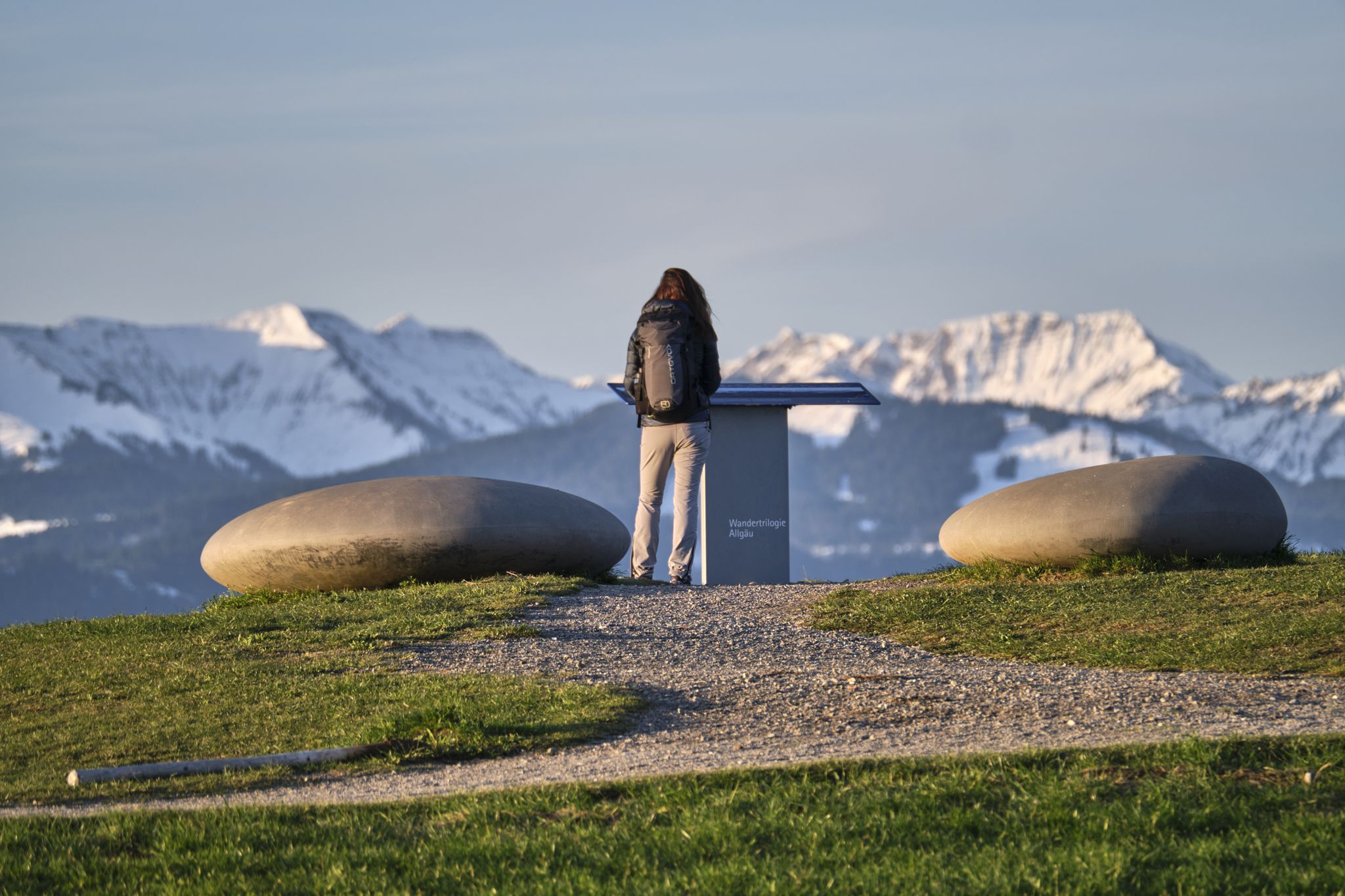
Experience history – hike the Trilogy Tours in Allgäu

Climbing Alpine peaks on the Route to the Top – Allgäu hiking trilogy
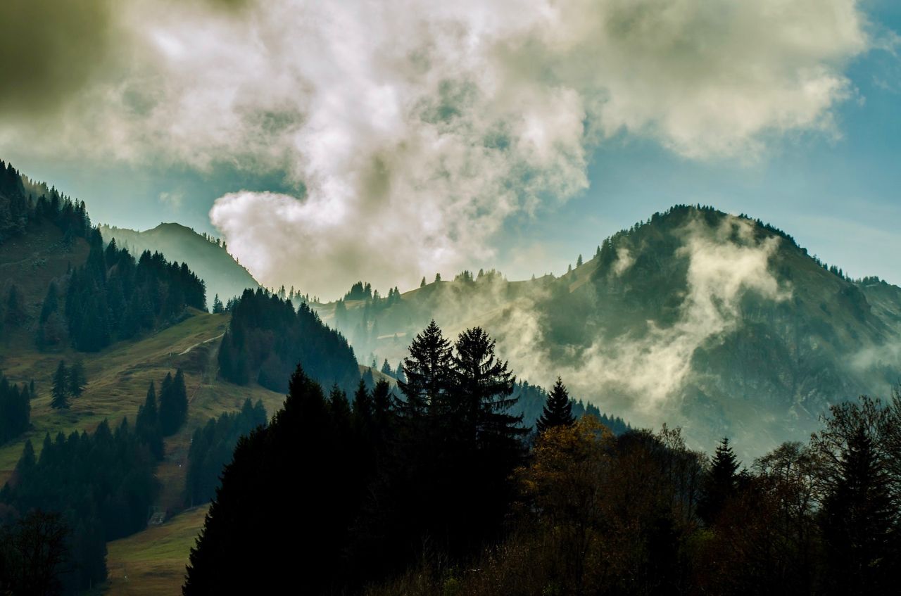
Allgäu pleasure peaks
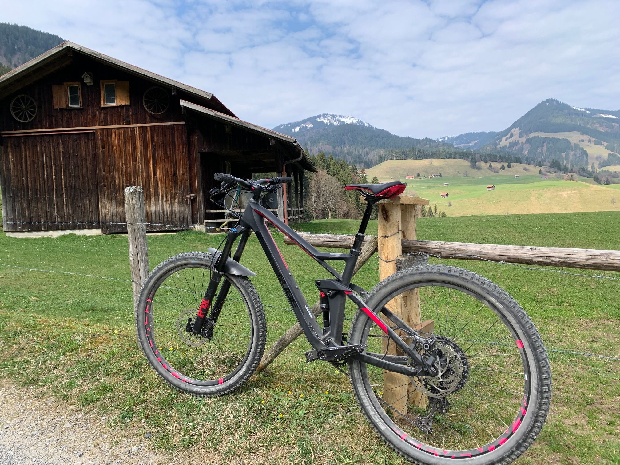
Hörnerdörfer - Radtouren
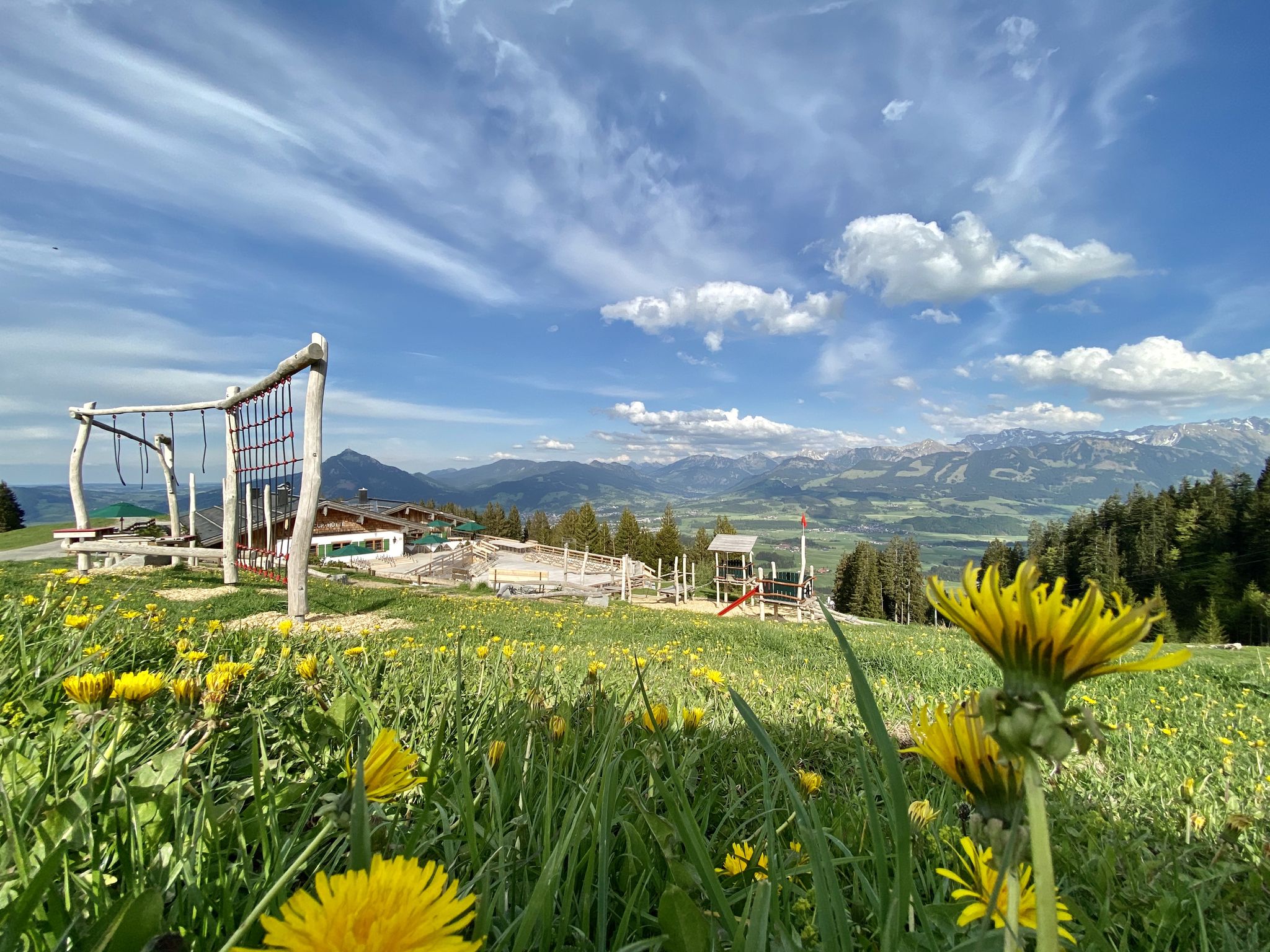
Hörnerdörfer - Themenwege
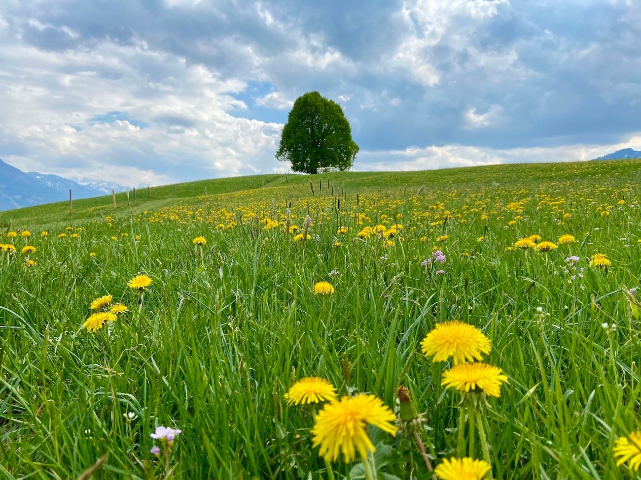
Hörnerdörfer - Idyllische Talwanderungen
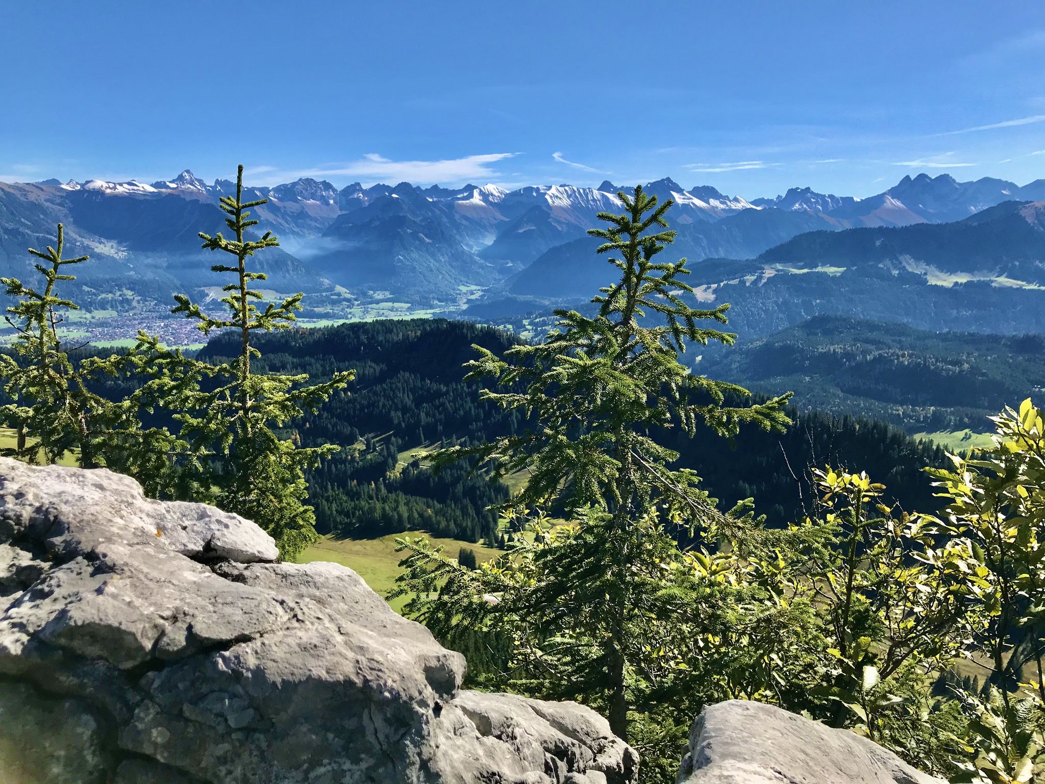
Hörnerdörfer - Aussichtsreiche Gipfelwanderungen
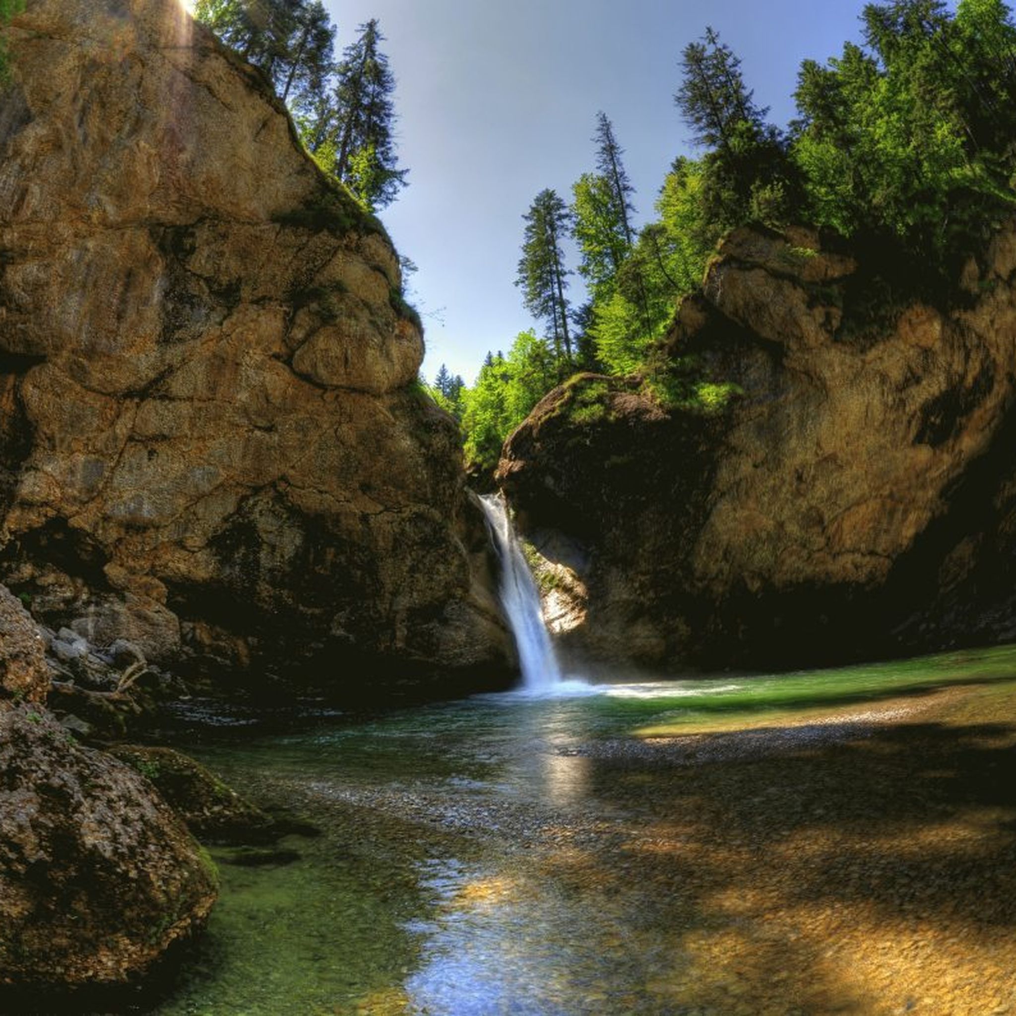
Hiking around Balderschwang
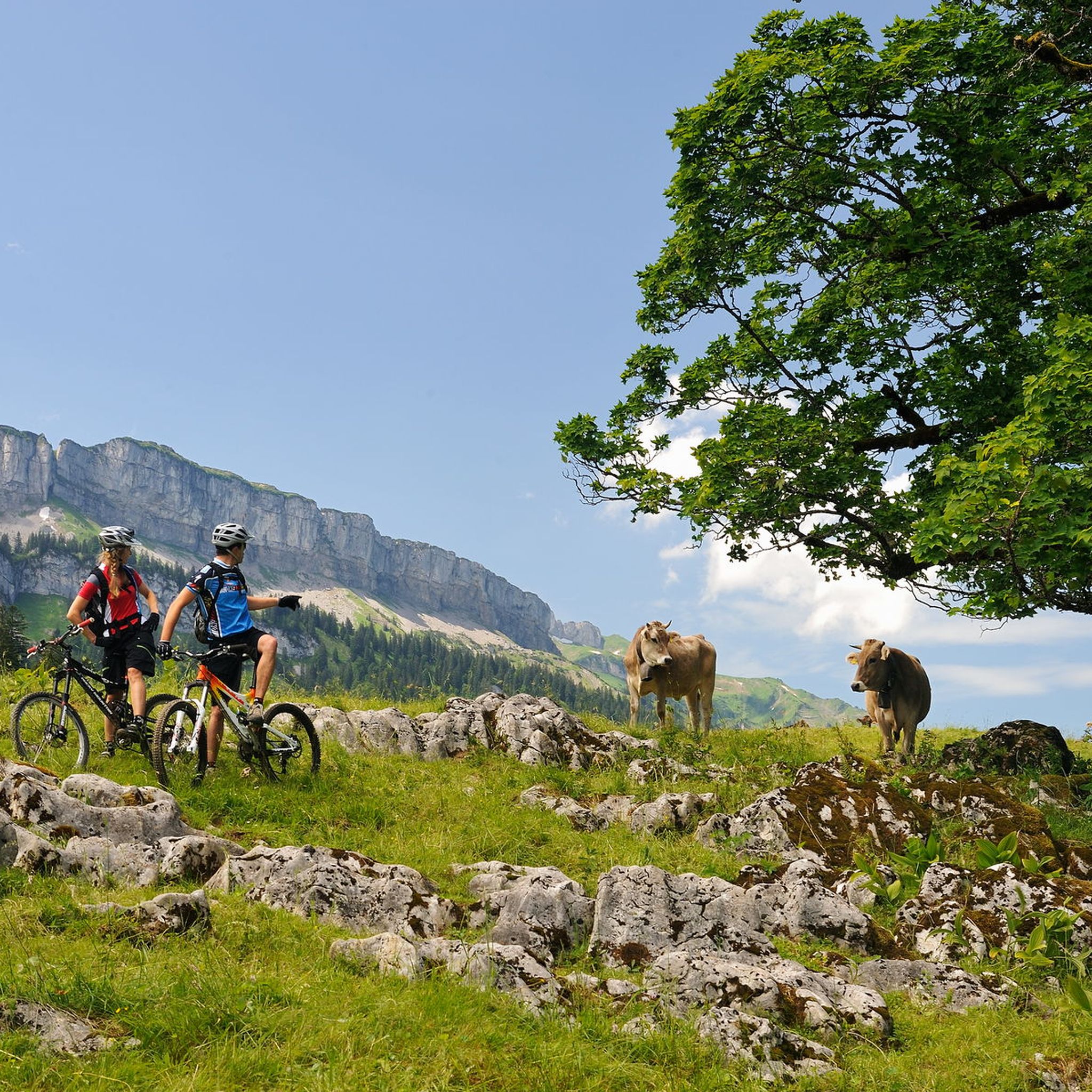
MTB Trails around Balderschwang
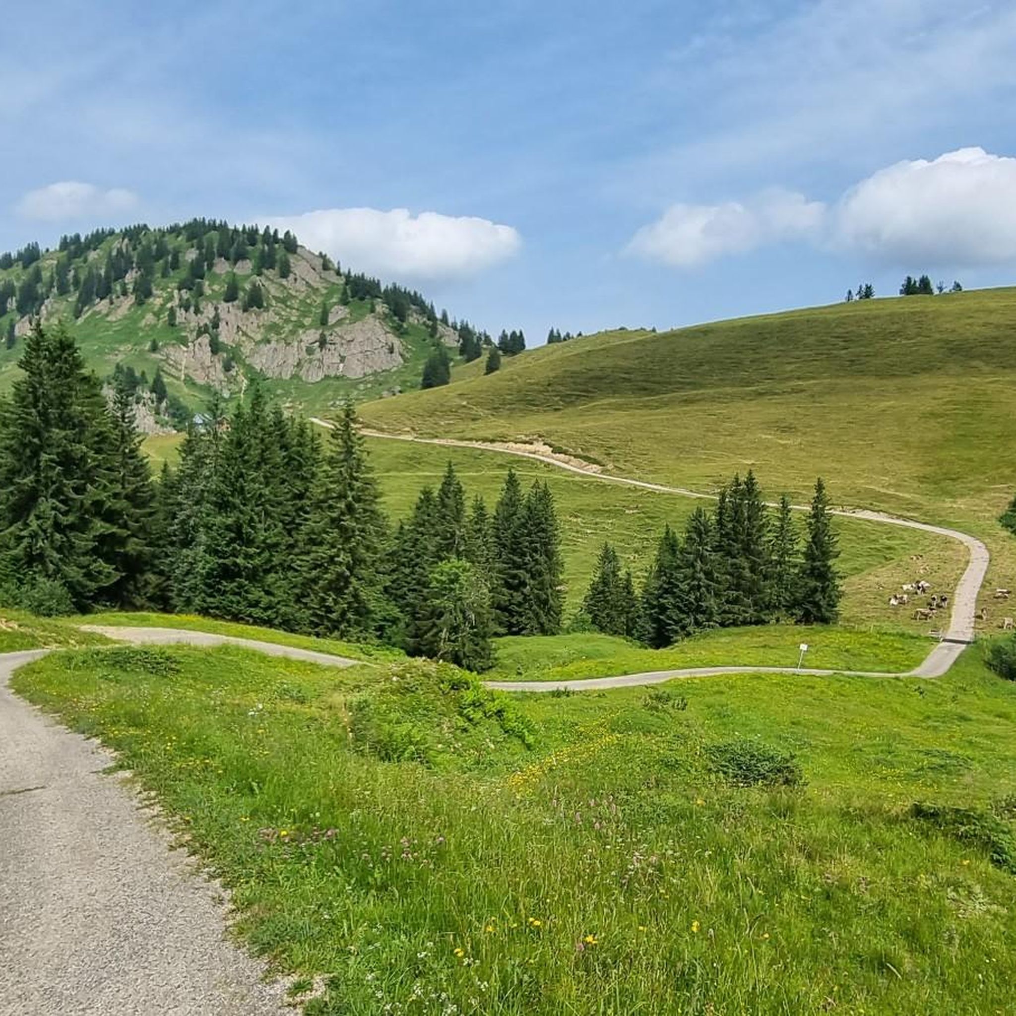
Road Cycling Routes around Balderschwang
Other adventures around Balderschwang


Tips from the Community

Beautifully laid out path through the forest, ideal for families with children.
0
0

The Rohrmoossattel is part of the European main watershed between the Rhine and the Danube. On the west side of the pass, the Achbach flows via the Schönbach into the Rubach, which drains into the Rhine via the Subersach, the Bregenzer Ach, and Lake Constance. On the east side, the Starzlach flows, which drains into the Danube via the Breitach and the Iller. Source: https://de.wikipedia.org/wiki/Rohrmoossattel A sign behind a bench marks the spot (though only approximately, as the actual saddle is visibly still a little further away). Theoretically, chance decides whether a raindrop falling here ends up in the North Sea or the Black Sea.
0
0

The saddle can be reached effortlessly due to the asphalt road and the support of the e-bike.
0
0

The Breitach is a 21 km long source river of the Iller. At the source of the Iller, it joins with the Trettach and the Stillach to form the Iller.
0
1

The Alpe Schattenwald in the Roormoos valley invites you to linger.
1
0

The mountains around Oberstdorf present themselves with rugged cliffs, gentle alpine meadows, and snow-capped peaks – a fascinating and ever-changing panorama depending on the season. ❄️🌿
0
0

Located at 1,279 meters, the Alpe Dinjörgen is a beautiful and peaceful spot for a snack. The homemade products taste wonderful! 👍
7
0
On the way to Alpe Scheuen, the Bolgenach is crossed once more. Additionally, you will find a map with an overview of the local hiking area.
7
0
Frequently Asked Questions
How many touring cycling routes are available in Balderschwang?
Balderschwang offers a diverse network of over 20 touring cycling routes. These routes cater to various skill levels, ranging from moderate rides to challenging ascents through the alpine terrain.
What are the typical difficulty levels for touring cycling routes in Balderschwang?
The majority of touring cycling routes in Balderschwang are classified as difficult, with 18 challenging options. There are also 3 moderate routes and 1 easy route, ensuring there's something for every cyclist, though the region is known for its significant elevation gains.
What natural features can I expect to see along the touring cycling routes in Balderschwang?
Balderschwang's routes wind through the stunning Nagelfluhkette Nature Park, offering views of deep valleys, expansive alpine meadows, and impressive panoramic peaks like the Siplinger Kopf and Piesenkopf. You'll also encounter the meandering Bolgenach river, silver fir forests, and high moors. Don't miss the picturesque Breitenbachklamm Cave Entrance or the dramatic Sturmanns Cave.
Are there any specific landmarks or viewpoints along the touring cycling routes?
Yes, the region is rich with landmarks and viewpoints. Cyclists can enjoy spectacular views from various points, including the Fellhorn Summit, Walmendinger Horn, and the View from the summit of Ofterschwanger Horn. The Walmendingerhorn Viewing Platform offers particularly breathtaking panoramas.
Are there any circular touring cycling routes around Balderschwang?
Yes, many routes in Balderschwang are designed as loops. For example, the challenging Rohrmoos Valley Trail – Rohrmoos Saddle (1,120 m) loop from Balderschwang and the scenic The Stag's Leap Gorge – Oy Valley loop from Wald-Wild-Schongebiet Kreuzlealpe are popular circular options.
What is the best time of year for touring cycling in Balderschwang?
The best time for touring cycling in Balderschwang is typically from late spring through early autumn. During these months, the alpine meadows are vibrant, and the weather conditions are generally favorable for exploring the region's diverse terrain. Winter conditions can make many routes inaccessible due to snow and ice.
Are there any family-friendly touring cycling options in Balderschwang?
While many routes in Balderschwang are challenging, there is at least one easy touring cycling route available. For families, it's advisable to look for routes with less elevation gain and well-paved surfaces, often found along the valley floors or designated trails like the Bolgenach Trail.
Can I bring my dog on the touring cycling routes in Balderschwang?
Many outdoor areas in Balderschwang, including parts of the Nagelfluhkette Nature Park, are generally dog-friendly. However, it's always recommended to keep dogs on a leash, especially in nature protection areas or near grazing livestock. Check specific route regulations for any restrictions.
Where can I find parking for touring cycling routes in Balderschwang?
Balderschwang, being a popular outdoor destination, offers various parking options. Specific parking areas are usually available at trailheads or within the village. It's advisable to check local signage or online maps for designated parking spots near your chosen starting point.
Are there cafes or pubs along the touring cycling routes in Balderschwang?
Yes, Balderschwang and its surrounding villages offer opportunities to stop for refreshments. Many routes pass through or near charming villages where you can find cafes, traditional guesthouses, and pubs to refuel and enjoy local delicacies.
What do other touring cyclists enjoy most about Balderschwang?
The touring cycling routes in Balderschwang are highly rated by the komoot community, with an average score of 4.7 stars from over 150 reviews. Cyclists often praise the breathtaking alpine scenery, the challenging yet rewarding ascents, and the well-maintained paths that offer a true high-alpine cycling experience.
Are there any routes that cross the Riedberg Pass?
Yes, the Riedberg Pass, Germany's highest mountain pass road at 1407 meters, is a prominent feature in the region. A notable touring cycling route that includes this pass is The Stag's Leap Gorge – Riedberg Pass loop from Balderschwang, offering spectacular views and a significant challenge.
Are there any waterfalls in the Balderschwang area that can be visited during a cycling tour?
While not directly on all cycling routes, the region is home to natural wonders like the Buchenegger Waterfalls, nestled within one of Germany's last primeval forests. The Breitach Gorge, recognized as Europe's deepest rocky gorge, also features impressive water formations and is accessible via well-maintained paths, making for a great side trip.
Most popular routes around Balderschwang
Most popular attractions around Balderschwang

Get inspired with the komoot mobile app


Explore more
Browse the best Cycling routes in other regions.
