The best MTB trails around Droyßig
4.5
(195)
596
riders
116
rides
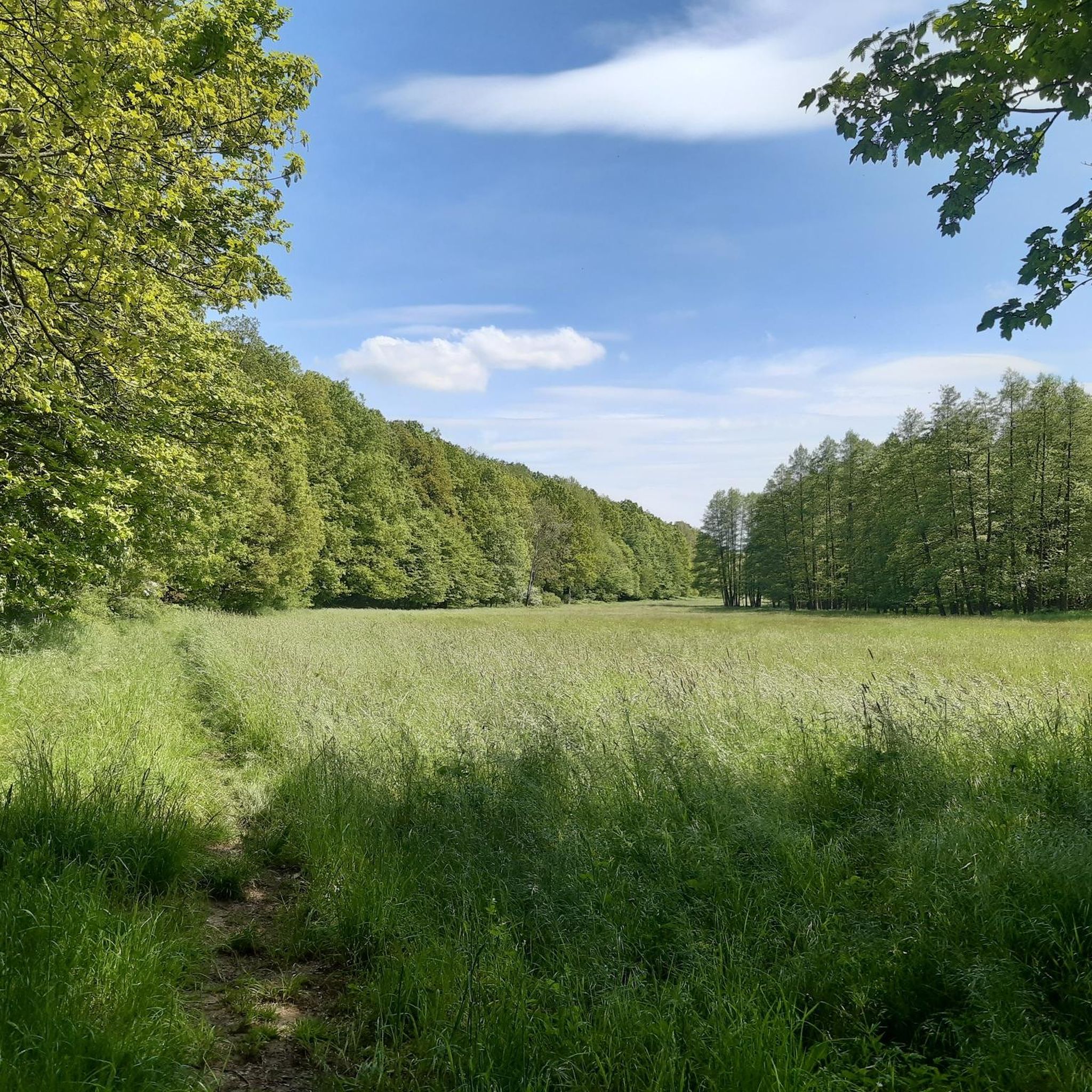
Mountain biking around Droyßig offers a network of trails through varied landscapes. The region features rolling hills, river valleys, and forested sections, providing diverse terrain for mountain bikers. Many routes incorporate historical points of interest and connect to established cycle paths, making it suitable for family friendly mountain biking. The area includes easy mountain bike trails as well as more challenging options.
Best mountain bike trails around Droyßig
- The most popular mountain bike trail is Old Droysig Railway Station –…
Last updated: June 25, 2026
4.6
(5)
20
riders
38.0km
02:15
260m
260m
Moderate mountain bike ride. Good fitness required. Suitable for all skill levels.
4.3
(7)
16
riders
30.0km
01:36
140m
140m
Moderate mountain bike ride. Great for any fitness level. Advanced riding skills necessary.

Sign up for free
4.8
(4)
10
riders
Moderate mountain bike ride. Good fitness required. Suitable for all skill levels.
5.0
(2)
5
riders
Moderate mountain bike ride. Good fitness required. Advanced riding skills necessary.
5.0
(1)
3
riders
34.4km
02:10
270m
270m
Moderate mountain bike ride. Good fitness required. Suitable for all skill levels.
Get access to more routes and recommendations from other explorers.
Sign up for free
Already have an account?
Our route recommendations are based on thousands of hikes, rides, and runs completed by other people on komoot.
Start today with a free account
Your next adventure awaits.
Login or Signup

Other adventures around Droyßig

Tips from the Community

Since 2024 with new tenants, it has been re conceptualized. Now there is vegan, but delicious food, selected drinks and much more. Nicely done, directly on the Saale
0
0
If you're out early here, you can really put your foot down and set new route records.
1
0

Camera or mobile phone with good zoom is appropriate or simply admire the flowers. Blooming time was 30.4.2025, 2026 approx. 10 days later!
0
0

The bridge bears witness to the old railway history.
0
0
A beautiful piece of mining history
0
0

Small rest area just before the Mühltal entrance
0
0
Even though you can still take a break here, the rest area has seen better days.
0
0
A lovely rest area along the former railway line, which is well-used. A geocache is also hidden here.
0
0
Frequently Asked Questions
How many mountain bike trails are available around Droyßig?
There are over 120 mountain bike trails around Droyßig listed on komoot. These routes explore the region's varied landscapes, including rolling hills, river valleys, and forested sections.
Are there easy mountain bike trails suitable for beginners or families?
Yes, Droyßig offers a good selection of easy mountain bike trails. Approximately 45 routes are classified as easy, making them suitable for beginners or family-friendly outings. Many routes also incorporate established cycle paths, which are generally less technical.
Are there challenging mountain bike routes for experienced riders?
While the majority of trails are moderate, there is at least one difficult mountain bike route available for experienced riders seeking a greater challenge. The region's varied terrain, with its rolling hills and forested sections, provides opportunities for more demanding rides.
What is the typical length and duration of mountain bike trails in Droyßig?
Mountain bike trails around Droyßig vary in length and duration. For example, the Old Droysig Railway Station – Donkey Café loop from Weickelsdorf is 23.8 miles (38.3 km) and takes about 2 hours 13 minutes, while the Dornburg Castles – Graitschen Railway Station loop from Roda is 41.4 miles (66.7 km) and typically takes around 4 hours 4 minutes.
Are most mountain bike trails around Droyßig loop routes?
Many of the mountain bike trails around Droyßig are designed as loop routes, offering convenient starting and ending points. Examples include the Elster Cycle Path – Donkey Café loop from Trebnitz and the Enchanted Forest – Amtsschreibermühle loop from Weickelsdorf.
When is the best time of year to go mountain biking in Droyßig?
The best time for mountain biking in Droyßig is generally from spring through autumn, when the weather is mild and trails are dry. The region's forested sections offer some shade during warmer months, and the river valleys are particularly scenic in spring and early autumn.
What kind of scenery can I expect on the mountain bike trails?
The trails offer diverse scenery, including open countryside, river valleys, and dense forested areas. Many routes also pass by historical points of interest, such as castles and old railway paths, providing a mix of natural beauty and cultural landmarks.
Are there any interesting landmarks or attractions along the mountain bike trails?
Yes, many trails incorporate historical points of interest and natural attractions. You might encounter sites like Droyßig Castle and Castle Church, or ride along sections of the Eisenberger Mühltal Cycle Path. The Amtsschreibermühle – Elster Bridge in Crossen loop from Lindau, for instance, passes by the Elster Bridge in Crossen.
Are there places to eat or drink near the mountain bike trails?
Yes, some routes pass by or near cafes and restaurants. The 'Donkey Café' is mentioned in the names of several popular routes, indicating it's a known stop for riders. You might also find other eateries like the Parish Mill or Pfarrmühle (Forest Hotel Pfarrmühle).
What do other mountain bikers say about the trails in Droyßig?
The mountain bike trails around Droyßig are highly rated by the komoot community, with an average score of 4.5 stars from over 180 reviews. Riders often praise the varied terrain, the mix of natural landscapes and historical sites, and the well-maintained paths that cater to different skill levels.
Is it possible to access the mountain bike trails using public transport?
While specific public transport connections to every trailhead are not detailed, Droyßig and surrounding towns are generally accessible by regional public transport. It's advisable to check local bus or train schedules to find the most convenient access points for your chosen route.
Most popular routes around Droyßig
Most popular attractions around Droyßig

Get inspired with the komoot mobile app


Explore more
Browse the best MTB trails in other regions.
