The best running trails around Fort Ritchie
14
runners
3
runs
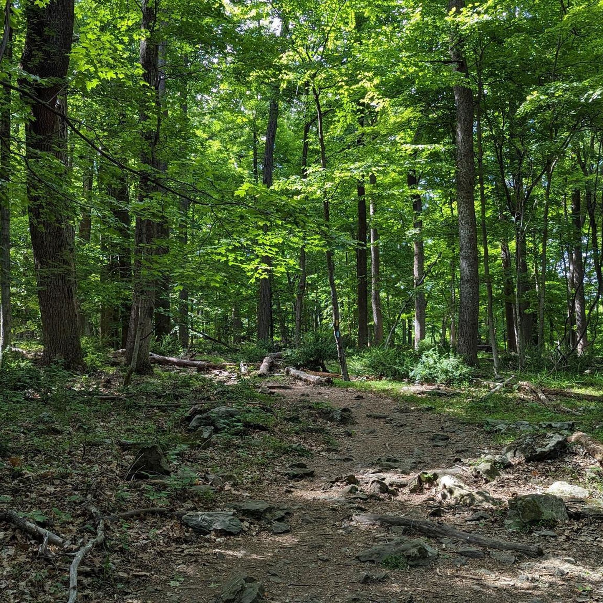
Jogging routes around Fort Ritchie traverse a landscape characterized by rolling hills, dense woodlands, and rocky outcrops. The region offers varied terrain, from gentle forest paths to more challenging ascents, providing diverse options for runners. Many running routes follow established trails, often featuring elevation changes and natural surfaces.
Best jogging routes around Fort Ritchie
- The most popular jogging route is Wolf Rock & Chimney Rock running loop, a 3.9 miles (6.2 km) trail that takes about 52 minutes to…
Last updated: October 9, 2026
6
runners
6.25km
00:52
230m
230m
This moderate 3.9-mile running loop in Catoctin Mountain Park features challenging terrain, scenic views from Chimney Rock, and the unique W
1
runners
4.04km
00:31
100m
100m
Jog the easy 2.5-mile Thurmont Vista Loop Trail in Catoctin Mountain Park, featuring scenic views and varied forest terrain.

1
runners
9.71km
01:21
330m
330m
Jogging the Appalachian Trail from Pen Mar to High Rock offers a difficult 6.0-mile route with 1074 feet of elevation gain.
5.33km
00:41
120m
120m
This moderate 3.3-mile (5.3 km) jogging loop in Emmitsburg Watershed features Rainbow Lake and 396 feet of elevation gain.
6
runners
33.7km
04:36
1,020m
1,020m
Hard run. Very good fitness required. Sure-footedness, sturdy shoes and alpine experience required.
Our route recommendations are based on thousands of hikes, rides, and runs completed by other people on komoot.
Start today with a free account
Your next adventure awaits.
Popular around Fort Ritchie

Tips from the Community

High Rock is a park and overlook about an hour and a half outside of Baltimore and just off of the Appalachian Trail. There is a large graffitied rock (and surrounding rocks) with a great vantage point on the surrounding foothills. If you have the time, fill up a bag of trash because this local spot could use some love.
0
0

This is a tough but challenging section of the Appalachian Trail that climbs through beautiful forestry to High Rock lookout from Pen Mar.
0
0
This is a recreational park and garden near Emmitsburg in Maryland. There are a number of exciting walking/running trails varying from beginner to intermediate and a delightful lake frequented by fishers.
1
0
Rainbow Lake is a beautiful body of water situated inside the Emmitsburg Watershed. It features a network of enjoyable walking/running trails and is a popular spot for fishing.
1
0
Great views on offer of the whole Catoctin Mountain Park. Perfect place to catch your breath and sip on your water.
0
0
Wolf Rock is a lovely place to sit and catch your breath. The rock is in the shape of a wolf, hence the name, and is part of the Weverton Formation, deposited as sand 550 million years ago. The better views are slightly further down the path at Chimney Rock, but this is still worth a visit.
0
0
This is an enjoyable woodland trail with superb views on offer as you pass the Thurmont Vista Overlook. The trail can get rocky and rooty underfoot, so be mindful of your step.
0
0
Thurmont Vista is a lovely place to catch your breath and enjoy the view. The views stretch east across the Frederick Valley and towards the town of Thurmont.
1
0
Frequently Asked Questions
Are there easy running trails suitable for beginners around Fort Ritchie?
Yes, the region offers easy routes. The Thurmont Vista Loop Trail is an easy 2.5 miles (4.0 km) path with a gentle gradient through wooded areas, perfect for a quicker run or those new to trail running.
Can I find circular running routes in the Fort Ritchie area?
Absolutely. Many trails are designed as loops, allowing you to start and finish at the same point. For example, the Wolf Rock & Chimney Rock running loop is a popular moderate 3.9-mile (6.2 km) option that showcases notable rock formations and forest scenery.
Are there running trails with convenient parking near Fort Ritchie?
While specific parking details for every trailhead aren't always listed, many popular running routes in the Fort Ritchie area, especially those leading to well-known natural features, typically have designated parking areas nearby. It's advisable to check local park information or route descriptions for specific parking instructions before your visit.
What kind of terrain can I expect on jogging routes around Fort Ritchie?
Jogging routes around Fort Ritchie traverse a landscape characterized by rolling hills, dense woodlands, and rocky outcrops. You'll find varied terrain, from gentle forest paths to more challenging ascents, often on natural surfaces. This provides diverse options for runners of all levels.
Are there any family-friendly jogging paths in the Fort Ritchie region?
Yes, the area offers paths suitable for families. The Thurmont Vista Loop Trail, being an easy 2.5-mile route with a gentle gradient, is a good option for families looking for a less strenuous run or walk together.
What are some notable natural attractions I might see while running near Fort Ritchie?
The region boasts several natural highlights. Along various routes, you might encounter impressive features like Cunningham Falls, the unique rock formations of Wolf Rock, and scenic vistas from View from Chimney Rock or High Rock Overlook.
How long are the running trails typically around Fort Ritchie?
The running trails in the Fort Ritchie area vary in length to suit different preferences. You can find shorter routes like the Thurmont Vista Loop Trail at 2.5 miles (4.0 km), up to longer, more challenging runs such as the Appalachian Trail: Pen Mar to High Rock, which is 6.0 miles (9.7 km).
Are there any challenging running routes for experienced runners in Fort Ritchie?
Yes, experienced runners can find challenging options. The Appalachian Trail: Pen Mar to High Rock is a difficult 6.0-mile (9.7 km) trail with significant elevation gain, offering a robust workout through varied forest terrain.
What do other runners enjoy most about jogging in Fort Ritchie?
The komoot community frequently praises the diverse terrain, from gentle forest paths to challenging ascents, and the natural beauty of the region. Many appreciate the well-maintained trails that lead to scenic viewpoints and notable rock formations, providing a rewarding outdoor experience.
Can I find trails that offer good opportunities for wildlife spotting?
The dense woodlands and natural environment around Fort Ritchie provide excellent opportunities for wildlife observation. While specific sightings are never guaranteed, running on trails like the Wolf Rock & Chimney Rock running loop, which winds through forest, increases your chances of encountering local fauna.
Are there any trails that feature waterfalls near Fort Ritchie?
Yes, the region is home to Cunningham Falls, a beautiful natural monument. While not all running routes pass directly by it, some trails in the broader area, such as the extensive View from Chimney Rock – Cunningham Falls loop from Peniel Lot, incorporate this stunning waterfall.
What is the best time of year for jogging the trails around Fort Ritchie?
Spring and fall generally offer the most pleasant conditions for jogging in Fort Ritchie, with mild temperatures and vibrant foliage. Summer can be warm and humid, while winter may present colder temperatures and potential snow or ice, requiring appropriate gear and caution.
Most popular routes around Fort Ritchie
Most popular attractions around Fort Ritchie

Get inspired with the komoot mobile app


Explore more
Browse the best Running Trails & Routes in other regions.
