The best road cycling routes around Jarrettsville
63
riders
25
rides
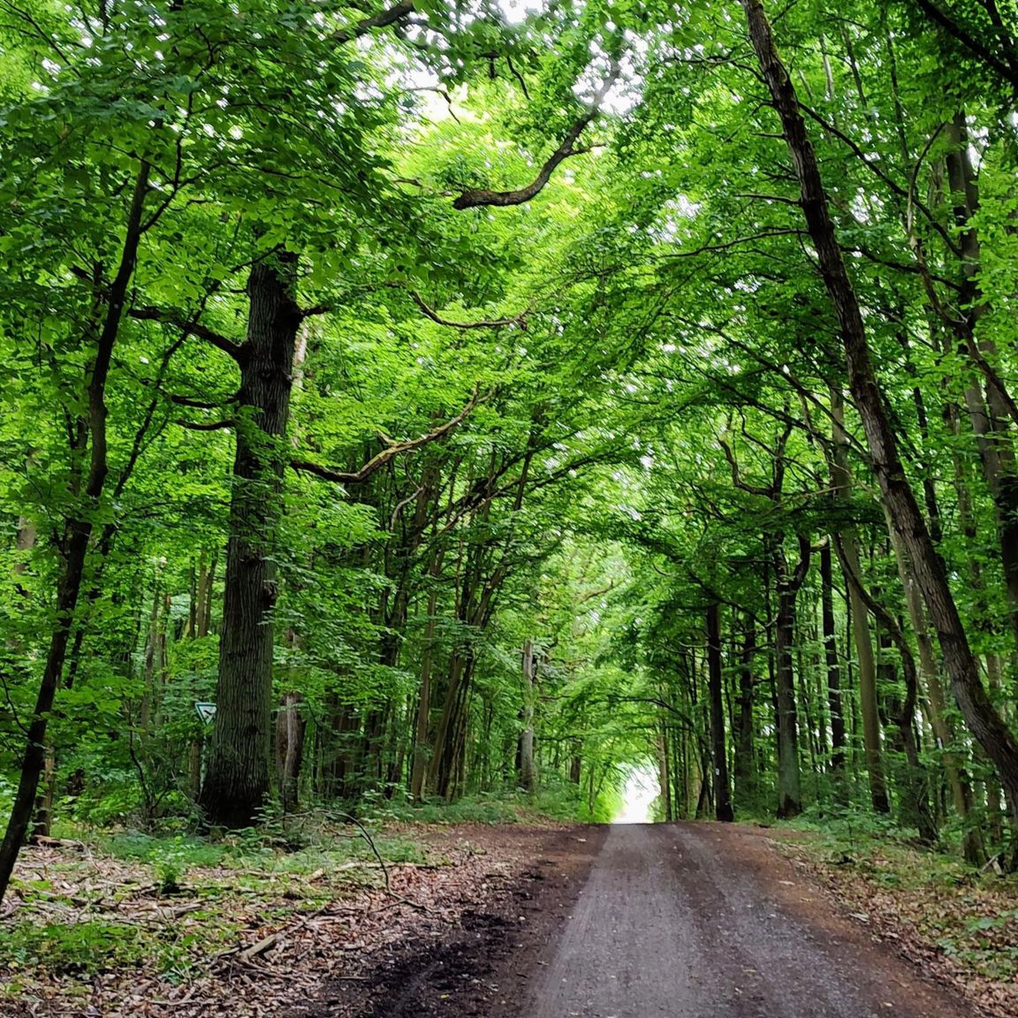
Road cycling around Jarrettsville, Maryland, offers a diverse landscape characterized by rolling hills, scenic farmland, and quiet country roads. The region features extensive natural preserves and state parks, providing varied terrain for cyclists. Routes often include a mix of gentle stretches and challenging climbs, making it suitable for different skill levels. This area is known for its picturesque rural setting and engaging environment for outdoor activities.
Best road cycling routes around Jarrettsville
- The most popular road cycling route is East…
Last updated: August 22, 2026
62.7km
02:53
540m
540m
Moderate road ride. Good fitness required. Some segments of this route may be unpaved and difficult to ride.
13
riders
Moderate road ride. Good fitness required. Some segments of this route may be unpaved and difficult to ride.

Sign up for free
5
riders
38.0km
01:47
460m
460m
Moderate road ride. Good fitness required. Mostly well-paved surfaces and easy to ride.
7
riders
51.1km
02:22
540m
540m
Moderate road ride. Good fitness required. Mostly well-paved surfaces and easy to ride.
6
riders
55.6km
02:50
600m
600m
Moderate road ride. Good fitness required. Some segments of this route may be unpaved and difficult to ride.
Get access to more routes and recommendations from other explorers.
Sign up for free
Already have an account?
Our route recommendations are based on thousands of hikes, rides, and runs completed by other people on komoot.
Start today with a free account
Your next adventure awaits.
Login or Signup
Popular around Jarrettsville


Tips from the Community

the big picnic area has restrooms and water-fountains. most likely only on during summer.
0
0

love this trail, one of my favorite trails to do a lo g ride.
0
0

Great park access to many trails along the rail trail. Beautiful views of the falls and more if you venture out. Road bikes will probably not be the best though if you want to venture into the park.
0
0
Convenient parking area with access to the rail trail. Water fountains, tube rentals and other river oriented recreation is available here.
0
0

US Route 1 or locally known as Conowingo Road. It's a busy road and the shoulder width can be narrow on some sections, so use caution.
0
0
The Falling Branch area of Rocks State Park is about five miles north of the main park on a separate 67-acre parcel. It features the 17-foot high Kilgore Falls, Maryland's second-highest waterfall. While biking isn't prohibited, the terrain can be challenging. It's recommended to secure your bike at the parking lot and hike to the falls for the best experience.
0
0
Small bridge that helps you cross Gunpowder Falls. Even though this section of the East Coast Greenway (ECG) is not paved, it's still a pretty comfortable ride as the compacted dirt and crushed gravel keep the trail smooth.
0
0
The East Coast Greenway is a 3,000-mile biking and walking trail stretching from Maine to Florida. In Maryland, it covers 163 miles, with 61 miles dedicated to bike paths and the rest on roads shared with vehicles. Highlights include the Jones Falls Trail into Baltimore, the Torrey C. Brown Trail, and the B&A Trail leading to Annapolis. The route traverses historic towns along the Chesapeake Bay. Notably, there is no pedestrian access over the Hatem Bridge for the Susquehanna River crossing, requiring careful planning for bikers.
0
0
Frequently Asked Questions
What kind of terrain can I expect when road cycling around Jarrettsville?
Road cycling around Jarrettsville offers a diverse landscape with a mix of rolling hills, scenic farmland, and quiet country roads. You'll find routes with both gentle stretches and challenging climbs, making it suitable for various skill levels. The area is known for its picturesque rural setting and extensive natural preserves.
Are there any family-friendly road cycling options in the Jarrettsville area?
Yes, for a more relaxed, family-friendly experience, the Ma & Pa Trail near Bel Air is an excellent choice. This 8.2-mile loop follows a historic railroad bed, offering a mostly flat, paved surface through farmlands and woodlands, ideal for all skill levels.
What natural attractions or landmarks can I see along the road cycling routes?
Many routes pass through or near significant natural features. For instance, the US Route 1 (Conowingo Road) – Rock State Park loop from Vale Road Park and the Rock State Park loop from Jarrettsville take you through Rocks State Park, where you can find attractions like Kilgore Falls and the King and Queen Seat. The East Coast Greenway: Monkton - Jarrettsville Loop also incorporates sections of the East Coast Greenway.
Where can I find parking for road cycling routes in Jarrettsville?
Parking is generally available at trailheads and state parks. For routes like the Ma & Pa Trail, parking is accessible in areas like Bel Air and Forest Hill. For routes around Rocks State Park or Gunpowder Falls State Park, designated parking areas are typically available within the parks, such as the Pleasantville Area for Gunpowder Falls.
What is the best time of year to go road cycling in Jarrettsville?
The spring, summer, and fall seasons are generally the best for road cycling in Jarrettsville. These months offer pleasant weather for exploring the rolling hills and scenic farmland. During late summer, you might even catch the vibrant sunflower fields in bloom, typically between June and September.
Are there any loop routes available for road cyclists?
Yes, many of the routes around Jarrettsville are designed as loops, allowing you to start and end at the same point. Examples include the East Coast Greenway: Monkton - Jarrettsville Loop and the King and Queen Seat – Rock State Park loop from Forest Hill, which offer circular journeys through the region's diverse landscapes.
Do I need any permits to cycle in Maryland state parks around Jarrettsville?
Generally, permits are not required for cycling on designated trails within Maryland state parks for day use. However, it's always a good idea to check the official Maryland Department of Natural Resources website or specific park regulations for any updates or special requirements, especially for group rides or events.
What do other road cyclists enjoy most about road cycling in Jarrettsville?
Road cyclists frequently praise Jarrettsville for its varied topography, offering a good mix of 'rollers and some hills with lots of greenery.' The quiet country roads, scenic farmland, and routes through state parks like Rocks State Park are often highlighted for their beauty and engaging environment.
Are there any cafes or amenities near the cycling routes?
While specific cafes directly on every route may vary, Jarrettsville and nearby towns like Bel Air offer various amenities. You can find cafes, restaurants, and other services in these areas to refuel before or after your ride. For more information on local amenities, you might find resources from Visit Harford helpful.
How many road cycling routes are available in the Jarrettsville area?
There are over 15 road cycling routes available around Jarrettsville, offering a range of experiences. This includes 14 moderate and 4 difficult routes, ensuring options for different ability levels and preferences.
Can I access these cycling routes using public transport?
Public transport options directly to all trailheads in the rural Jarrettsville area may be limited. However, some routes, like sections of the East Coast Greenway or the Ma & Pa Trail, might have more accessible points from nearby towns with public transport connections. Planning your trip in advance is recommended.
Most popular routes around Jarrettsville
Most popular attractions around Jarrettsville

Get inspired with the komoot mobile app


Explore more
Browse the best Road cycling routes in other regions.
