The best road cycling routes around Marlborough
4.6
(28)
972
riders
227
rides
If you've ever tried to plan road cycling around Marlborough, you know how quickly the options can feel overwhelming. With so many routes winding through suburban streets, along river paths, and past local parks, it's tough to know which ones are genuinely worth your time and effort. That's where we come in. Our komoot community has ridden, mapped, and reviewed these routes, so we've curated a shortlist of the best, saving you the guesswork and ensuring every pedal stroke counts.
…Last updated: June 2, 2026
27
riders
15.9km
00:43
110m
110m
Easy road ride. Great for any fitness level. Mostly well-paved surfaces and easy to ride.
6
riders
Easy road ride. Great for any fitness level. Mostly well-paved surfaces and easy to ride.

5
riders
Easy road ride. Great for any fitness level. Mostly well-paved surfaces and easy to ride.
2
riders
18.7km
00:46
100m
100m
Easy road ride. Great for any fitness level. Mostly well-paved surfaces and easy to ride.
2
riders
45.3km
02:00
370m
370m
Moderate road ride. Good fitness required. Some segments of this route may be unpaved and difficult to ride.
Get access to more routes and recommendations from other explorers.
Already have an account?
Our route recommendations are based on thousands of hikes, rides, and runs completed by other people on komoot.
Start today with a free account
Your next adventure awaits.

Tips from the Community

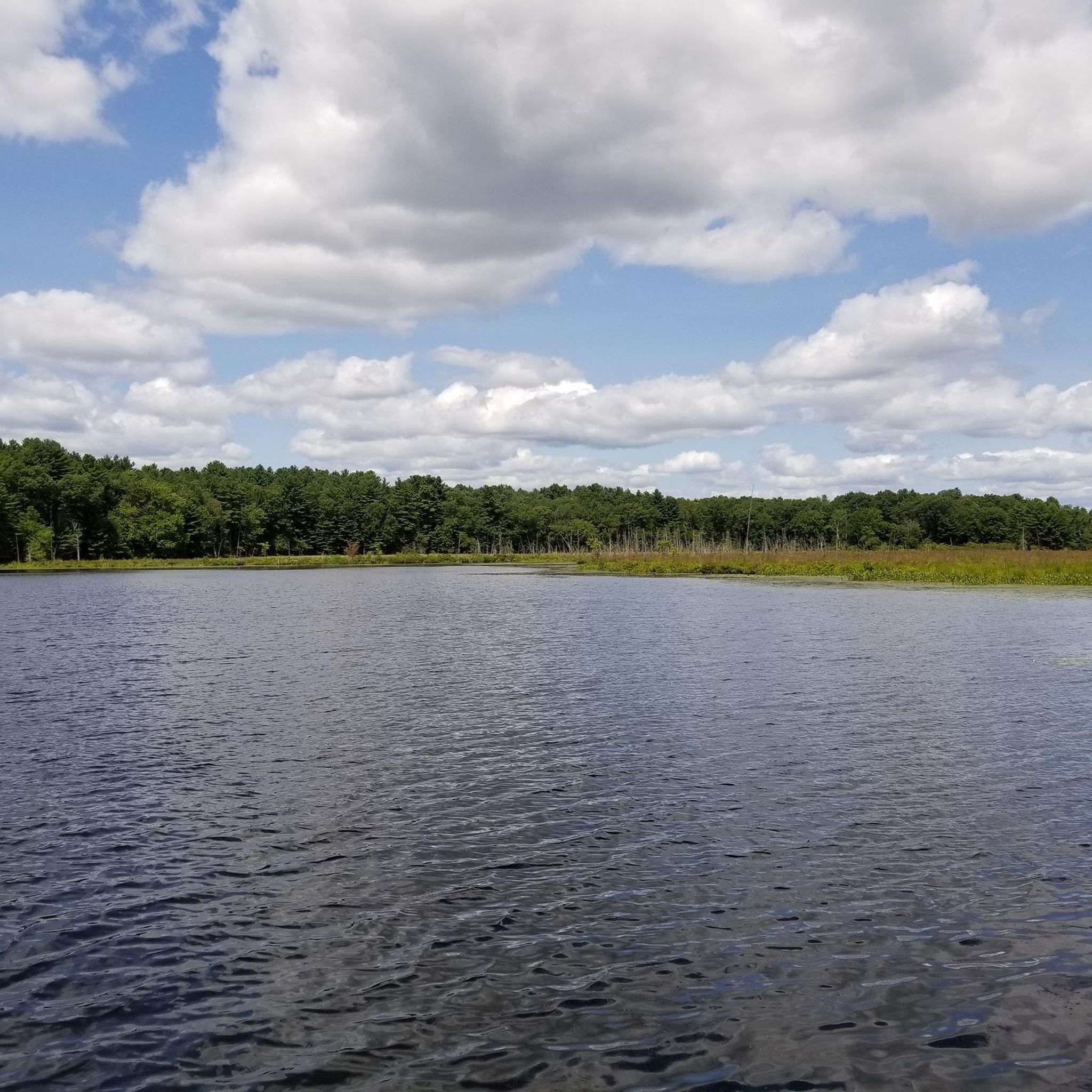
This is a nice paved, two-lane multi-use path with some benches set up so you can stop and enjoy the views over Fort Meadow Reservoir.
0
0
This is a nice paved, two-lane multi-use path with some benches set up so you can stop and enjoy the views over Fort Meadow Reservoir.
0
0
The inn was first built in 1716, and is on the National Register of Historic Places. It remains a charming rustic hotel, restaurant, and venue, and features a number of freestanding historic buildings and grounds.
0
0

Parmeter Street is a quiet street that borders Pine Hill and the surrounding area on the eastern side of the Sudbury Reservoir.
1
0

Upton State Forest offers 2,660 acres of natural beauty. With trails for hiking, biking, and horseback riding, plus opportunities for fishing and picnicking, it's a haven for outdoor enthusiasts seeking serene woodland adventures.
0
0
The Wayside Inn Grist Mill is a water-powered stone mill that was built in 1929. This attractive, historic building, with its distinctive red wheel and tall waterfall, still produces cornmeal and wheat flour as demonstrations for visitors. You can stop in for a bite to eat or dismount from your bike and explore the grounds.
0
0
Main Street in Marlborough has a diverse range of local businesses and cultural attractions. Its historic buildings house a variety of shops, cafes, and restaurants, offering something for everyone. Recent revitalization efforts have preserved its character while updating infrastructure, ensuring a vibrant hub for residents and visitors to explore. This is a great place to stop before, during, or after a ride for a bite to eat.
0
0

It is not always about following the tracks of a train, a natural trail or the route of a famous race. Sometimes, you find yourself following the course of underground water! The Hultman and Wachusett Aqueducts are some of the water conducting sources of Massachusetts, water you'll probably be drinking by the time you hit these roads!
0
0
Frequently Asked Questions
What types of road cycling routes can I find around Marlborough?
Road cycling routes around Marlborough primarily feature a mix of suburban roads and natural landscapes. You'll find trails that often follow river paths, connect to local parks, and offer views of reservoirs. The terrain generally includes gentle elevation changes, making it suitable for various skill levels.
Are there any easy road cycling routes for beginners in Marlborough?
Yes, Marlborough offers several easy routes perfect for beginners. A popular choice is the Assabet River Rail Trail – Marlborough loop from Marlborough, which is a 9.3 miles (15.0 km) trail along a rail trail. Another easy option is the Sudbury Reservoir – Callahan State Park (entrance) loop from Marlborough, an easy 21.3 miles (34.4 km) path featuring reservoir views.
What are some scenic highlights or natural features to look out for while cycling in Marlborough?
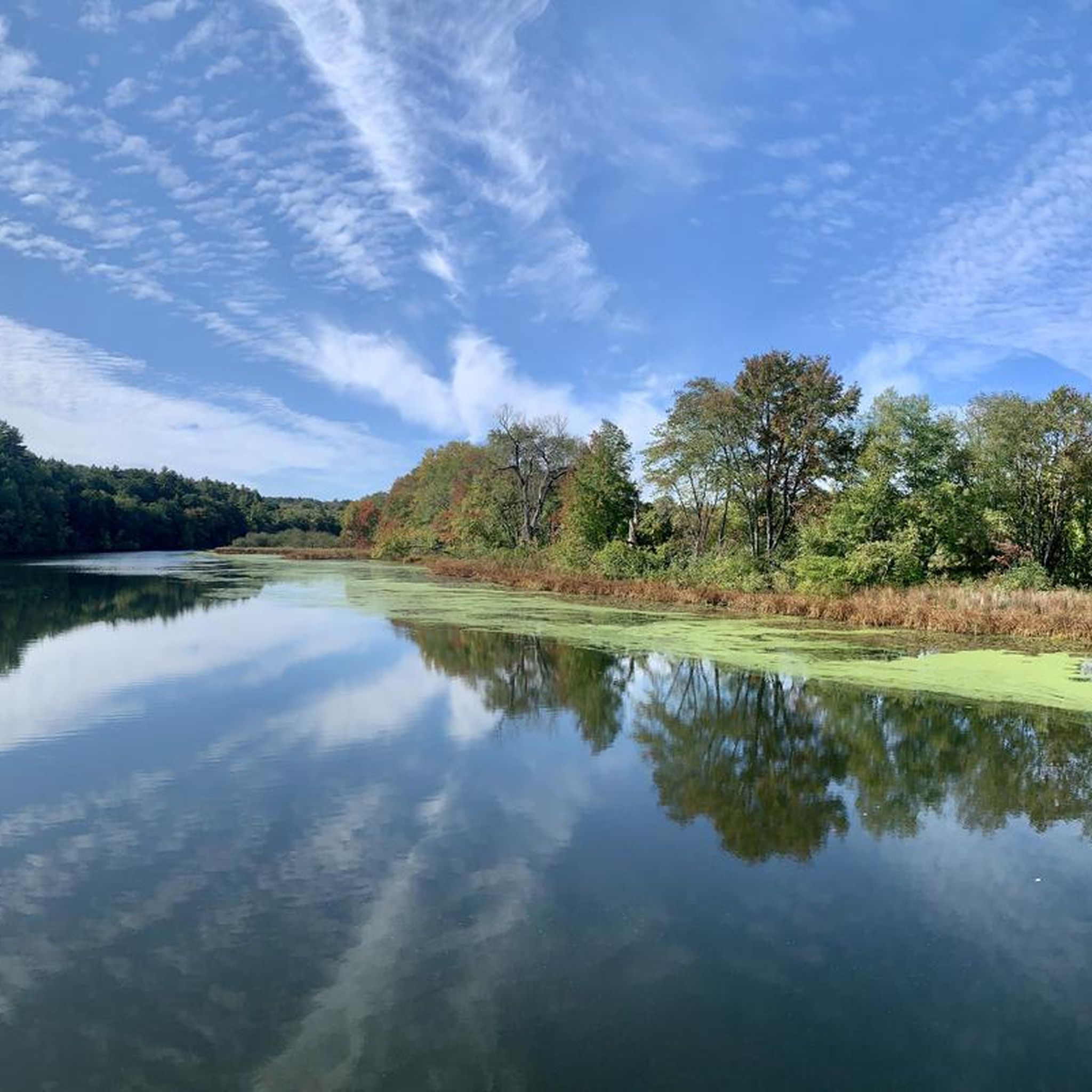
Many routes offer scenic views of the Sudbury Reservoir and pass through park areas. You can also explore highlights like Heard Pond and Pelham Island Road or Heard Pond itself. The Along the Assabet National Wildlife Refuge also provides natural beauty along some routes.
Are there any longer road cycling routes for more experienced riders?
For those looking for a moderate challenge, the Mile Hill Woods loop from Advanced Math and Science Academy Charter School is a great option. This route covers 28.7 miles (46.2 km) and leads through wooded areas and suburban roads, with more elevation changes than the easier loops.
What do other road cyclists say about the routes in Marlborough?
The road cycling routes in Marlborough are highly rated by the komoot community, with an average score of 4.7 stars from over 12 reviews. Cyclists often praise the varied terrain, from rail trails to reservoir views and local park connections, offering options for different ability levels.
Are there any circular road cycling routes available?
Yes, many of the routes around Marlborough are designed as loops. Examples include the Assabet River Rail Trail – Marlborough loop from Marlborough and the Sudbury Reservoir – Callahan State Park (entrance) loop from Marlborough, providing convenient circular rides.
Can I find routes that pass by interesting landmarks or points of interest?
Absolutely. Some routes pass by points of interest such as the Assabet River Dam or the Ashland Reservoir Dam. You can also find routes that incorporate sections of the Mass Central Rail Trail: Weston–Wayland Section and the Cochituate Rail Trail.
How many road cycling routes are there in Marlborough?
There are over 19 road cycling routes available around Marlborough, catering to various distances and difficulty levels, from easy loops to moderate distances with more elevation.
What is the general terrain like for road cycling in Marlborough?
The terrain for road cycling in Marlborough generally features gentle elevation changes. Routes often follow relatively flat rail trails and river paths, with some suburban roads introducing moderate climbs, providing a good mix for different fitness levels.
Are there any routes that connect to state parks?
Yes, routes like the Sudbury Reservoir – Callahan State Park (entrance) loop from Marlborough and the Callahan State Park (entrance) – Sudbury Reservoir loop from Advanced Math and Science Academy Charter School directly connect to or pass through areas near Callahan State Park.
Are there any routes suitable for a quick ride?
For a quick ride, the Assabet River Rail Trail – Marlborough loop from Marlborough is an excellent choice. At 9.3 miles (15.0 km), it can typically be completed in under 40 minutes, offering an easy and efficient cycling experience.
Most popular attractions around Marlborough

Get inspired with the komoot mobile app


Explore more
Browse the best Road cycling routes in other regions.
