The best walks and hikes around Littleton Common
4.8
(11)
222
hikers
46
hikes
Hiking trails around Littleton Common, Massachusetts, traverse a landscape characterized by a mix of woods, fields, and suburban areas. The region features a hilly topography with exposed bedrock and glacial outwash, offering varied terrain for hikers. Notable natural features include conservation lands, lakes, and wetlands, providing diverse habitats and scenic views. These areas are maintained through local conservation efforts, preserving natural resources for outdoor activities.
Best hiking trails around Littleton Common
- The most popular hiking route is View from Lookout…
Last updated: July 7, 2026
4.7
(3)
17
hikers
6.47km
01:47
110m
120m
Easy hike. Great for any fitness level. Easily-accessible paths. Suitable for all skill levels.
5
hikers
2.09km
00:32
10m
20m
Easy hike. Great for any fitness level. Easily-accessible paths. Suitable for all skill levels.

Sign up for free
1
hikers
5.37km
01:22
20m
20m
Easy hike. Great for any fitness level. Easily-accessible paths. Suitable for all skill levels.
1
hikers
3.68km
00:59
40m
40m
Easy hike. Great for any fitness level. Easily-accessible paths. Suitable for all skill levels.
2.40km
00:39
40m
20m
Easy hike. Great for any fitness level. Easily-accessible paths. Suitable for all skill levels.
Get access to more routes and recommendations from other explorers.
Sign up for free
Already have an account?
Our route recommendations are based on thousands of hikes, rides, and runs completed by other people on komoot.
Start today with a free account
Your next adventure awaits.
Login or Signup



Tips from the Community

This site is full of historical items such as an Ice Age melt created gorge, the American Telephone Transcontinental cable, the U.S. military WWII redar research site, and a (lower than summit) great lookout rock. Friendly vertical well groomed trails. Highly recommend!!!
0
0
This a great easy vertical adventure near metro northwest Boston along groomed trails through the woods, with lots of interesting historical features such at the Ice Age carved Trophe Chasm (bordered with large granite boulders), and more modern items such as the ATT Transatlantic Cable, and a World War II era Air Force radar testing station. Well worth it in any weather, never crowded, trailhead parking. Highly recommend.
0
0

A nice sandy area behind the Butter Brook Golf Club, accessible by the Nashua, Acton & Boston Railroad Trail and the Nashoba Trail. You can connect with the Bruce Freeman Trail if you continue south on the Nashua, Acton, and Boston Railroad Trail.
1
0

Mostly consisting of oak woodlands, this area features miles of trails that wind throughout. Two prominent features include Lookout Rock, providing stunning views, and Tophet Chasm.
0
0
This rocky lookout stands at 475 feet high, offering a view to the south, where you can see the John Hancock and Prudential Tower buildings.
1
0

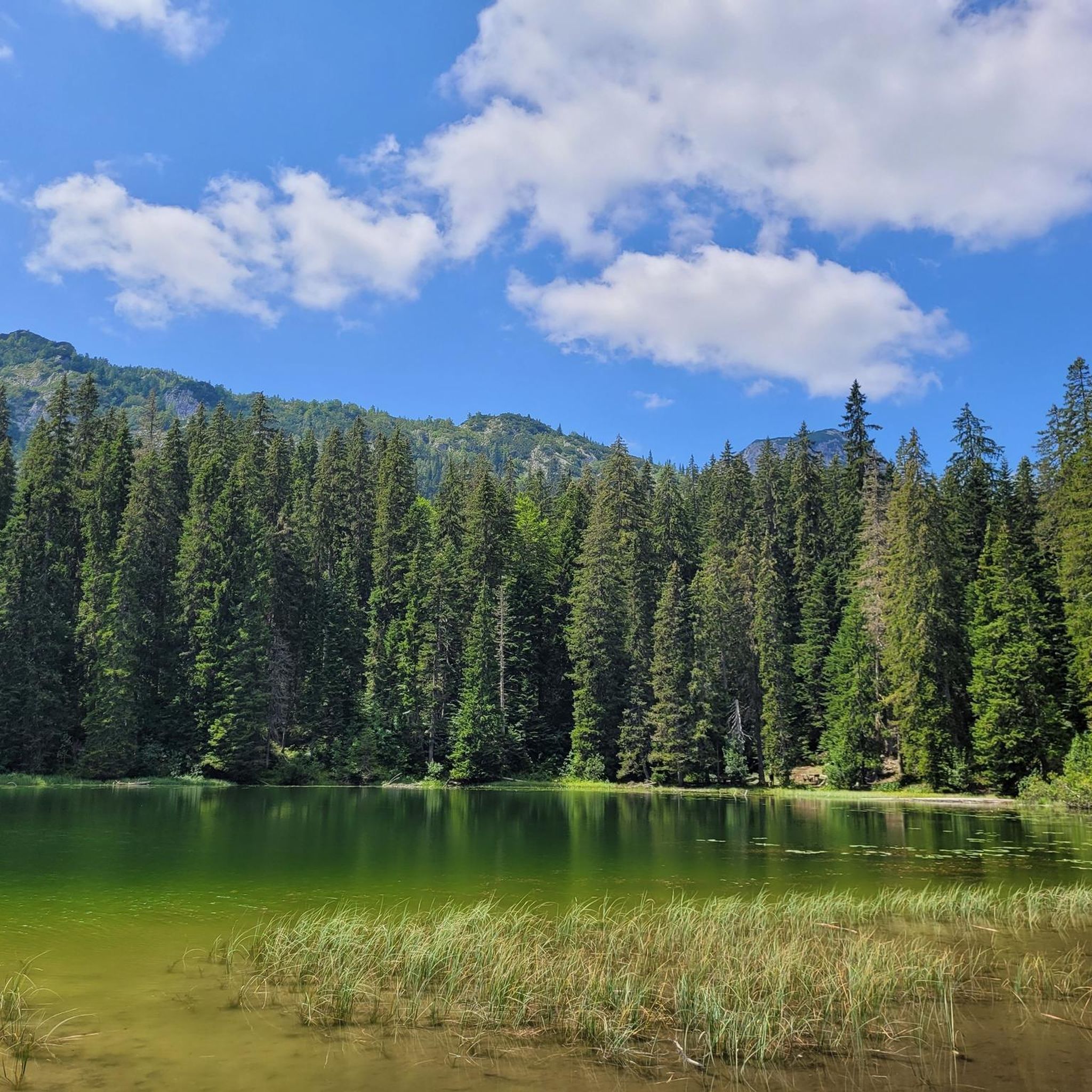
Watchout for the horses. Bring a towel and go for a dip in the lake. Its a hidden gem.
1
0
Frequently Asked Questions
How many hiking trails are available around Littleton Common?
Littleton Common offers a wide variety of hiking experiences, with over 20 distinct trails to explore. These routes traverse diverse landscapes, from dense woodlands to open fields and lakeside paths.
What is the general difficulty level of hiking trails in Littleton Common?
The trails around Littleton Common are predominantly easy, with 21 out of 24 routes classified as such. There are also 3 moderate trails for those seeking a bit more challenge, but no difficult routes, making the area accessible for most hikers.
What do other hikers enjoy most about the trails in Littleton Common?
The komoot community highly rates the hiking experiences in Littleton Common, with an average score of 4.8 stars from over 8 reviews. Hikers often praise the varied terrain, scenic views, and the well-maintained conservation lands that offer a peaceful escape into nature.
Are there any trails with scenic viewpoints in Littleton Common?
Yes, Littleton Common boasts several spots with magnificent views. Oak Hill, the highest point in Littleton, offers distant views of the Boston skyline. From Prouty Woods, you can even see Mount Monadnock in Southern New Hampshire. The View from Lookout Rock – Lookout Rock loop from Littleton is a popular easy route specifically known for its scenic vistas.
Are there any family-friendly hiking options in Littleton Common?
Absolutely. Many trails are suitable for families, especially the numerous easy routes. The Hartwell Preserve and the new Cloverdale Boardwalk are excellent choices for easy walks. Additionally, the Lookout Rock loop from Shaker Village is an easy 2.5-mile path that provides access to scenic views without being overly strenuous.
Can I bring my dog on the hiking trails in Littleton Common?
Many conservation lands in Littleton Common are dog-friendly, though leash rules typically apply to protect wildlife and other hikers. It's always best to check specific signage at trailheads for any particular regulations regarding pets in areas like Prouty Woods, Oak Hill Conservation Area, or Long Lake Park.
What kind of natural features can I expect to see while hiking?
Littleton Common's landscape is rich with natural diversity. You'll encounter hilly topography with exposed bedrock and glacial outwash, dense woodlands, and diverse lakeside and wetland habitats. Areas like Long Lake Park offer opportunities to spot bluebirds and beaver activity, while Bumble Bee Park features unique ecosystems including swamp, riparian areas, and bedrock outcrops of metamorphosed gneiss.
Are there any circular hiking routes available?
Yes, many of the trails in Littleton Common are designed as loops, offering varied scenery without retracing your steps. Examples include the popular View from Lookout Rock – Lookout Rock loop from Littleton and the Great Hill Recreation Area loop from Pacy Conservation Land.
Are there any lakes or water features to explore near the trails?
Yes, the area features several beautiful lakes and water bodies. Long Lake Park offers varied upland and lakeside habitats. You can also find highlights like Heart Pond, Nathaniel Allen Recreation Area Lake, and Nara Pond nearby. Beaver Brook also meanders through the western part of Littleton, featuring extensive wetlands and old stone bridges.
What is the best time of year to hike in Littleton Common?
Littleton Common offers enjoyable hiking year-round. Spring brings lush greenery and blooming wildflowers, while autumn showcases vibrant fall foliage. Summer is ideal for longer excursions, and even winter hiking can be beautiful, especially after a fresh snowfall, though conditions may require appropriate gear.
Are there any historical elements or landmarks along the trails?
Yes, the landscape around Littleton Common holds historical significance. You might encounter old stone walls, remnants of agrarian landscapes, and even stagecoach tracks worn into bedrock in areas like Oak Hill Conservation Area. Beaver Brook also features old stone bridges, adding to the cultural value of the natural areas.
Is public transport available to reach hiking trailheads?
Public transport options directly to specific trailheads in Littleton Common can be limited. Most visitors typically access the hiking areas by car. It's advisable to check local transit schedules for the town of Littleton if you plan to rely on public transportation, as connections to more remote conservation areas may not be direct.
Where can I find parking for the hiking trails?
Parking is generally available at the entrances to most conservation areas and parks in Littleton Common, such as Oak Hill Conservation Area, Prouty Woods, and Long Lake Park. Look for designated parking lots or roadside pull-offs near trailheads. Specific parking details are often provided on local conservation trust websites or trail maps.
Most popular attractions around Littleton Common

Get inspired with the komoot mobile app


Explore more
Browse the best Hikes in other regions.
