The best walks and hikes around North Pembroke
4.4
(6)
91
hikers
26
hikes
Hiking around North Pembroke explores a landscape characterized by river valleys, dense woodlands, and extensive conservation lands. The terrain is generally flat, with trails winding through forests, alongside the Indian Head and North Rivers, and across retired cranberry bogs. This network of paths offers accessible routes through diverse habitats, including tidal marshes and areas with notable old-growth trees, providing varied environments for outdoor activities.
Best hiking trails around North Pembroke
- The most popular hiking route is Indian Head River Trail…
Last updated: July 8, 2026
5.0
(1)
12
hikers
5.84km
01:30
30m
30m
Easy hike. Great for any fitness level. Easily-accessible paths. Suitable for all skill levels.
5.0
(1)
11
hikers
8.66km
02:13
30m
40m
Moderate hike. Good fitness required. Easily-accessible paths. Suitable for all skill levels.

Sign up for free
5
hikers
3.42km
00:56
50m
50m
Easy hike. Great for any fitness level. Easily-accessible paths. Suitable for all skill levels.
3.0
(1)
4
hikers
3.96km
01:02
20m
20m
Easy hike. Great for any fitness level. Easily-accessible paths. Suitable for all skill levels.
1
hikers
4.18km
01:05
20m
20m
Easy hike. Great for any fitness level. Easily-accessible paths. Suitable for all skill levels.
Get access to more routes and recommendations from other explorers.
Sign up for free
Already have an account?
Our route recommendations are based on thousands of hikes, rides, and runs completed by other people on komoot.
Start today with a free account
Your next adventure awaits.
Login or Signup
Tips from the Community

The Indian Head River dam and fish ladder is a concrete structure that spans the Indian Head River. Its main purpose is to help migratory fish get past obstacles, so they can swim upstream to their spawning grounds each spring.
0
0
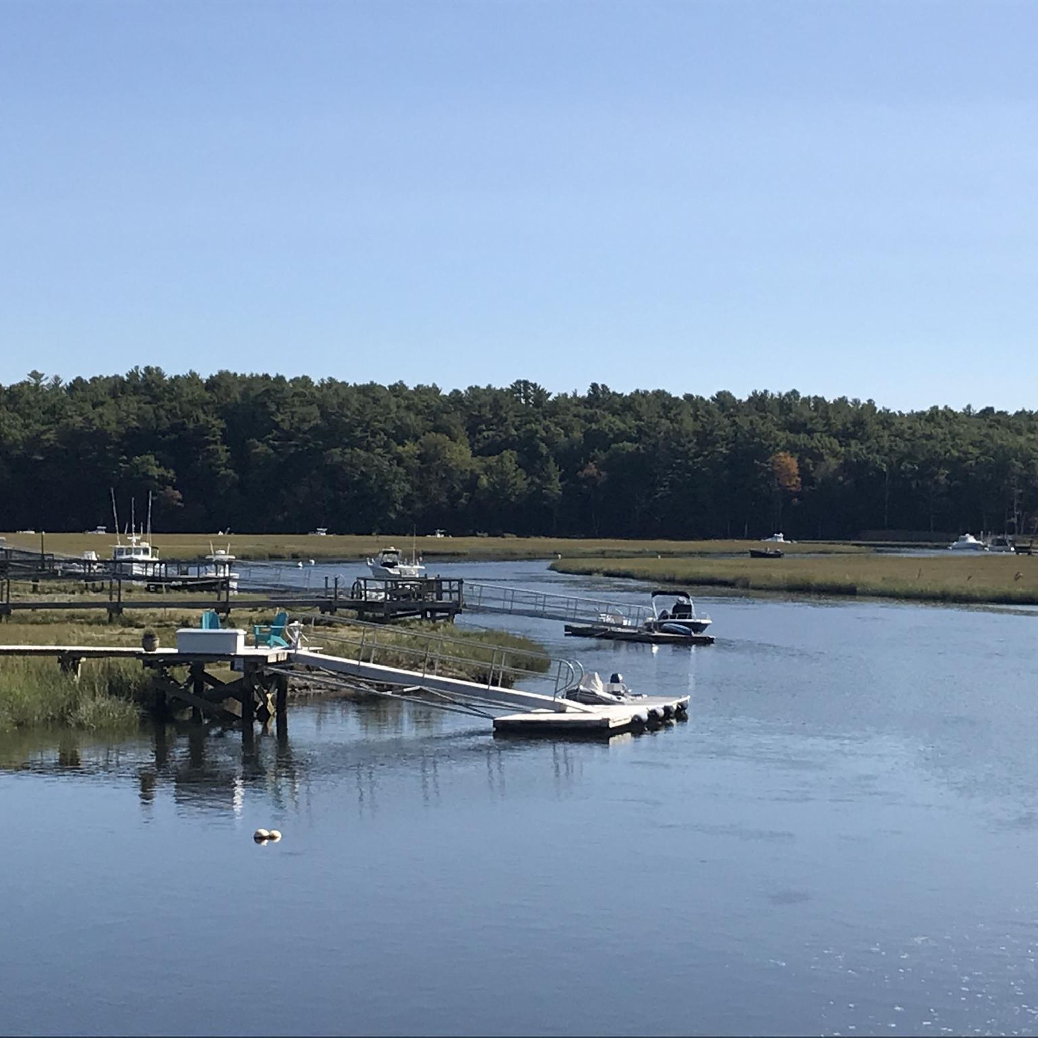
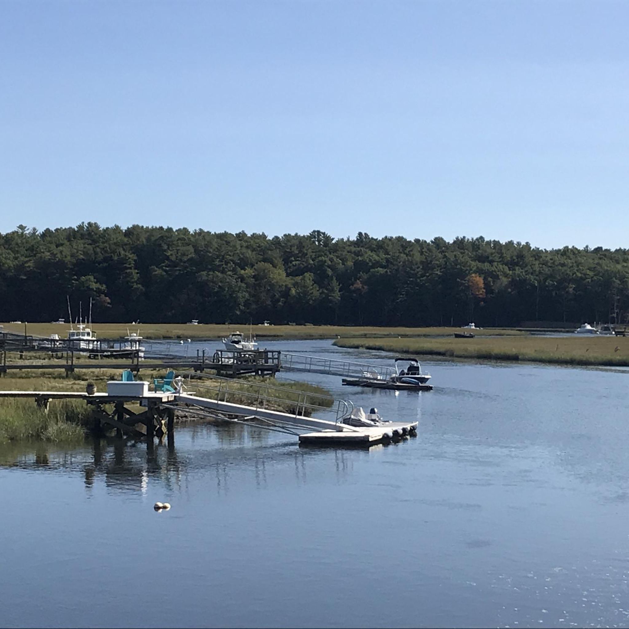
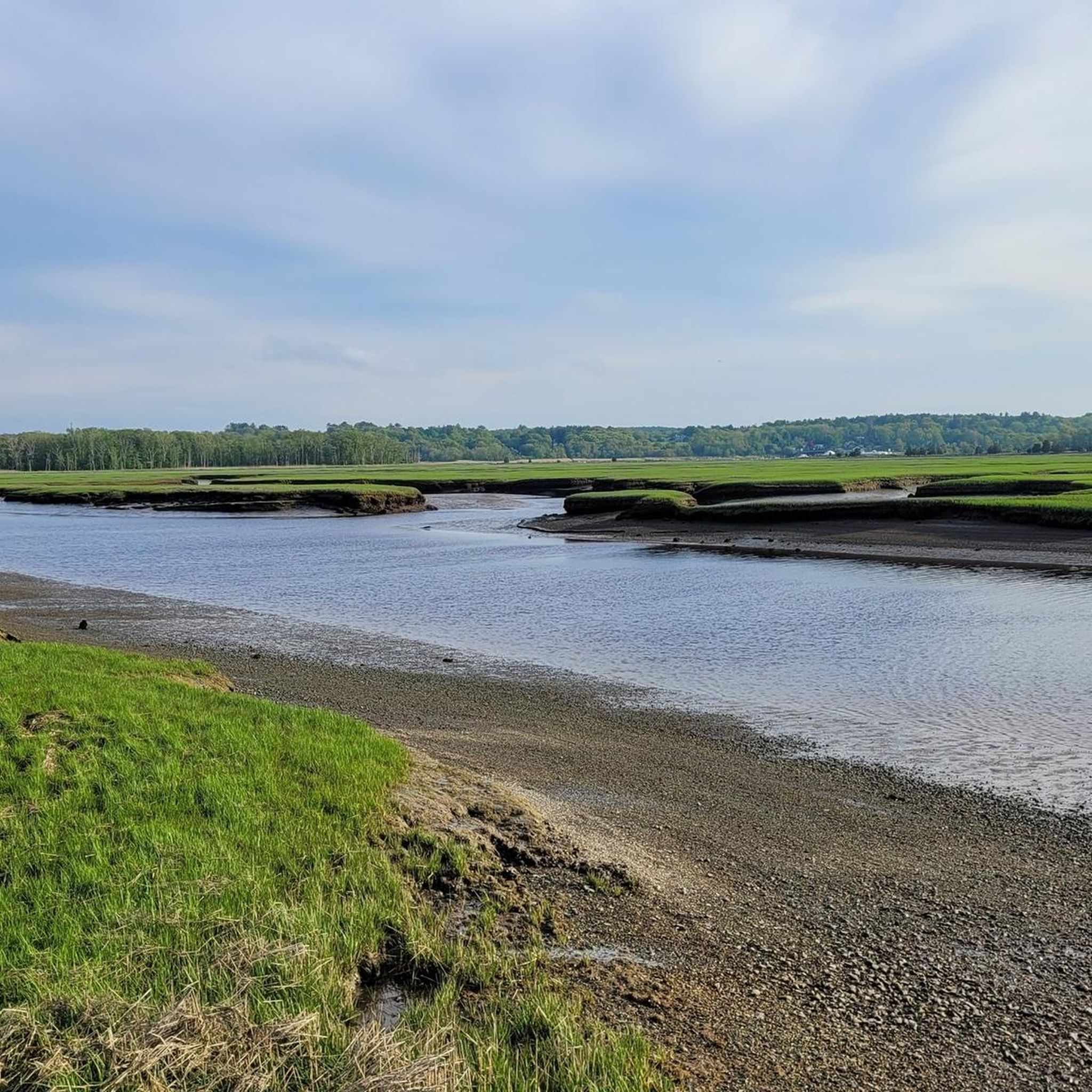
Nice view of the creek that runs into Indian Head River. The creek at this point is still small and runs right up along the Indian Head River Trail.
0
0
Frequently Asked Questions
Are there any easy, family-friendly hikes in North Pembroke?
Yes, the area is well-suited for families. Many trails are flat and explore gentle terrain. For a shorter walk that's great for all ages, consider the North Hill Marsh loop from Duxbury. It's an easy 2.4-mile (3.9 km) route that offers a pleasant experience through local marshlands.
Can I bring my dog on the trails around North Pembroke?
Most conservation areas and trails in the North Pembroke region are dog-friendly, but policies require dogs to be leashed and for owners to clean up after them. Always check the specific regulations for the park or preserve you plan to visit, such as those managed by the Wildlands Trust, before you go.
What are some popular places to hike in the North Pembroke area?
Locals and visitors enjoy a variety of natural spaces. Some highly-regarded spots include:
- Wildlands Trust - Willow Brook Farm: A popular favorite known for its well-maintained trails through old fields and dense woods.
- Wildlands Trust - Tucker Preserve: Praised for its scenic paths along the Indian Head River and interesting historical features like an old dam site.
- Herring Run Historical Park: A great spot for a shorter stroll, especially during the annual herring migration.
Are there any circular or loop hikes available?
Yes, many trails in the area are designed as loops, making logistics simple. A great example of a circular route is the Marshfield Hills loop from Riverside. This easy 3.5-mile (5.7 km) walk takes you through pleasant woodlands and is a great way to experience the local scenery without backtracking.
What is the terrain like for hiking in North Pembroke?
The hiking terrain is generally flat and accessible, characterized by river valleys, woodlands, and wetlands. Trails often follow the scenic Indian Head and North Rivers or wind through conservation lands. You'll encounter a mix of forest floors, paths alongside retired cranberry bogs, and boardwalks over marshy areas, with very little significant elevation change.
Are there any trails with good views of the water?
Absolutely. The region is defined by its waterways. Many trails, such as those within the Tucker Preserve and along the Indian Head River Trail network, offer beautiful riverside scenery. These paths provide a peaceful hiking experience with constant views of the water and surrounding forests.
What kind of wildlife or birds can I expect to see?
The diverse habitats support a rich variety of wildlife. Birdwatchers can look for deep-woods species like Ovenbirds, Scarlet Tanagers, and Yellow-billed Cuckoos. Along the rivers, you might see herons and other waterfowl. The area is also known for its annual herring runs, a natural spectacle visible at places like Herring Run Historical Park.
Are there any trails with historical significance?
Yes, the region is rich in history. The Tucker Preserve features remnants of the area's industrial past, with an old dam and forge site along the river. You can also visit Herring Run Historical Park to see the fish ladders, which are part of a long-standing local tradition of managing the annual herring migration that dates back to pre-colonial times.
What do other hikers say about the trails in North Pembroke?
The trails are highly rated by the komoot community, with an average score of 4.8 stars. Hikers often praise the well-maintained paths, the peaceful atmosphere of the woodlands, and the beautiful scenery along the Indian Head and North Rivers. The variety of landscapes, from forests to marshes, is also a frequently mentioned highlight.
How many hiking trails are there around North Pembroke?
There is a growing network of trails to explore. While this guide highlights the top routes, komoot features nearly 10 different hikes in and around the immediate North Pembroke area, with many more in the surrounding towns. These range from short, easy loops to more moderate, longer walks through the region's extensive conservation lands.
Where can I find trail maps for the area?
All routes on komoot include a detailed map that you can use for navigation directly on your phone, even offline. For physical maps or specific park information, you can often find them on-site at the trailheads of major conservation areas like those managed by the Wildlands Trust or on the Town of Pembroke's website for public lands.
Most popular attractions around North Pembroke

Get inspired with the komoot mobile app


Explore more
Browse the best Hikes in other regions.
