The best road cycling routes around Williamstown
4.8
(12)
482
riders
18
rides
Road cycling around Williamstown offers a diverse landscape for cyclists, situated at the base of Mount Greylock, the highest peak in Massachusetts. The region features a mix of paved roads, quiet country routes, and challenging climbs, with the Hoosic River and Green River flowing through the area. Terrain includes significant elevation changes, providing options from gentle paths to demanding ascents.
Best road cycling routes around Williamstown
- The most popular road cycling route is The Clark Art Institute – Mount Greylock loop from Williamstown, a 37.1 miles (59.8 km) trail that takes 3 hours 19 minutes to complete. This difficult route includes a significant climb up Mount Greylock.
- Another top favourite among local road cyclists is Mount Greylock loop from The Clark Art Institute, a difficult 24.3 miles (39.1 km) path. This route also features the challenging terrain around Mount Greylock.
- Local road cyclists also love the The Clark Art Institute – Cold Spring Preserve loop from The Clark Art Institute, a 30.9 miles (49.8 km) trail leading through varied terrain, often completed in about 2 hours 33 minutes.
- Road cycling around Williamstown is defined by challenging mountain roads, scenic country routes, and river valleys. The network offers options for different ability levels, from demanding climbs to moderate rides.
- The routes in Williamstown are highly rated by the komoot community with an average score of 4.5 stars from over 4 reviews. More than 200 road cyclists have used komoot to explore Williamstown's varied terrain.
Last updated: October 18, 2026
29
riders
59.8km
03:19
1,060m
1,060m
This challenging road cycling loop takes you from the cultural hub of the Clark Art Institute in Williamstown directly into the heart of the Berkshire Mountains, culminating in the formidable ascent of Mount Greylock. You'll experience a dramatic shift from scenic, rolling roads to the steep, winding climb through deep woods, with the reward of panoramic vistas from Massachusetts' highest peak. The route offers a unique blend of athletic endeavor and picturesque New England scenery, making it a memorable ride for those seeking a true test.
Planning your visit means preparing for a serious climb; Mount Greylock is renowned as the state's toughest. While the paved roads are generally well-maintained, the descent, especially on Notch Road, demands caution due to its steep grades and hairpin turns. There are no specific permits required for cycling, but always check local conditions and weather, particularly during shoulder seasons, as mountain weather can be unpredictable. Starting your ride early in the day is advisable to make the most of daylight and avoid potential afternoon traffic.
What makes this route truly stand out is its combination of a world-class art institution and an iconic natural landmark. The Clark Art Institute's beautiful campus provides a serene starting point, contrasting with the rugged, forested slopes of Mount Greylock. This loop isn't just about the physical challenge; it's an opportunity to connect with both the cultural and natural heritage of the Berkshires, offering stunning viewpoints towards the New York border and the Green Mountains of Vermont from the summit.
33
riders
39.1km
02:19
910m
910m
The Mount Greylock loop from The Clark Art Institute offers a demanding road cycling adventure, leading you through the scenic Mount Greylock State Reservation. You'll navigate winding roads and deep woods before the landscape opens up to reveal expansive panoramic views from the summit, a truly rewarding experience for any cyclist. This difficult route covers 24.3 miles (39.1 km) with a substantial 2993 feet (912 metres) of elevation gain.
Plan your ride between late May and mid-October, as the summit roads are typically closed outside these months. Starting from The Clark Art Institute provides convenient parking, but remember that conditions at the summit can be much colder and windier than at the base. It's wise to pack a windbreaker for the descent, which features steep sections and hairpin turns requiring your full attention.
This route takes you to the highest point in Massachusetts, making it an iconic climb for road cyclists. The historic Bascom Lodge at the summit offers a place to rest and enjoy the views, adding to the experience. The area's cultural connection, with The Clark Art Institute as your starting point, blends art and nature seamlessly.

4.5
(2)
26
riders
Moderate road ride. Good fitness required. Some segments of this route may be unpaved and difficult to ride.
23
riders
57.0km
02:29
540m
540m
Moderate road ride. Good fitness required. Mostly well-paved surfaces and easy to ride.
4.5
(2)
20
riders
30.9km
01:21
280m
280m
Easy road ride. Mostly well-paved surfaces and easy to ride.
Get access to more routes and recommendations from other explorers.
Already have an account?
Our route recommendations are based on thousands of hikes, rides, and runs completed by other people on komoot.
Start today with a free account
Your next adventure awaits.
Popular around Williamstown

Tips from the Community

The 1753 House stands as a faithful reproduction of a settler's home from 1753 in The Berkshires. Situated in Field Park at Williamstown's west end, it was built by volunteers in 1953 to commemorate the town's Bicentennial. Early settlers in the Hoosac Valley, including Williamstown and North Adams, were obligated by contract to construct a house of specific dimensions and clear a designated amount of land to secure their lot. You can see the house from the roadside.
0
0

Mohawk Trail Multiuse Path is an almost 5-mile long trail near Williamstown. The trail is mostly flat and at times, gives you good views of the Housatonic River.
0
0

The Clark Art Institute is an art museum in Williamstown, Massachusetts, that houses an exceptional collection of European and American art. Notable for its emphasis on 19th-century French Impressionist and Academic paintings, the institute boasts works by renowned artists like Pierre-Auguste Renoir, John Singer Sargent, Edgar Degas, and Winslow Homer, among others. The beautiful campus, set in the picturesque Berkshires, includes the original Clark Center, Manton Research Center, and the Stone Hill Center designed by Tadao Ando. Apart from exhibitions, The Clark offers academic programs, research opportunities, and hosts diverse events.
1
0
The Cold Spring Preserve borders the southern grounds of The Clark Art Institute, a well known local art museum with an impressive collection of 19th-century French Impressionist and Academic paintings and beautiful grounds. This is a nice place to slow down as you ride to admire the views and look out for wildlife.
0
0
The Clark Art Institute is an art museum in Williamstown, Massachusetts, that houses an exceptional collection of European and American art. Notable for its emphasis on 19th-century French Impressionist and Academic paintings, the institute boasts works by renowned artists like Pierre-Auguste Renoir, John Singer Sargent, Edgar Degas, and Winslow Homer, among others. The beautiful campus, set in the picturesque Berkshires, includes the original Clark Center, Manton Research Center, and the Stone Hill Center designed by Tadao Ando. Apart from exhibitions, The Clark offers academic programs, research opportunities, and hosts diverse events.
0
0

The beautiful Hoosic River runs through three states and is fed by streams from the Green Mountains of Vermont, the Taconics of New York and the lofty sides of Mount Greylock, the highest peak in Massachusetts (3,491 ft.). Its meandering journey travels 70 miles from where it begins at the Cheshire Reservoir in Massachusetts, to where it eventually enters the Hudson River at Stillwater, NY.
0
0

Close to the confluence of the Ohio and Green rivers, this area features gently rolling green hills, contributing to its picturesque scenery. Committed to supporting fish, wildlife, and habitat conservation, it plays a role in maintaining the area's natural beauty.
0
0
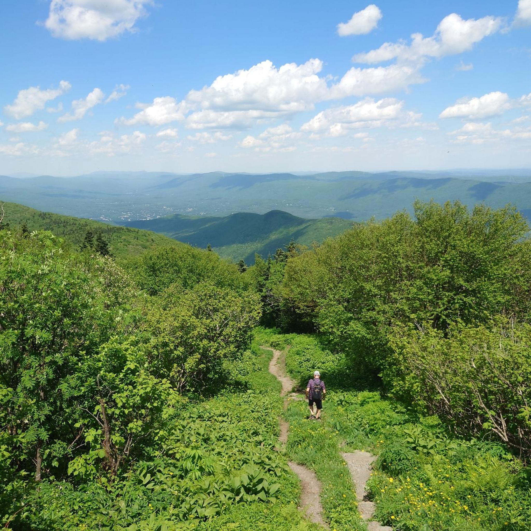
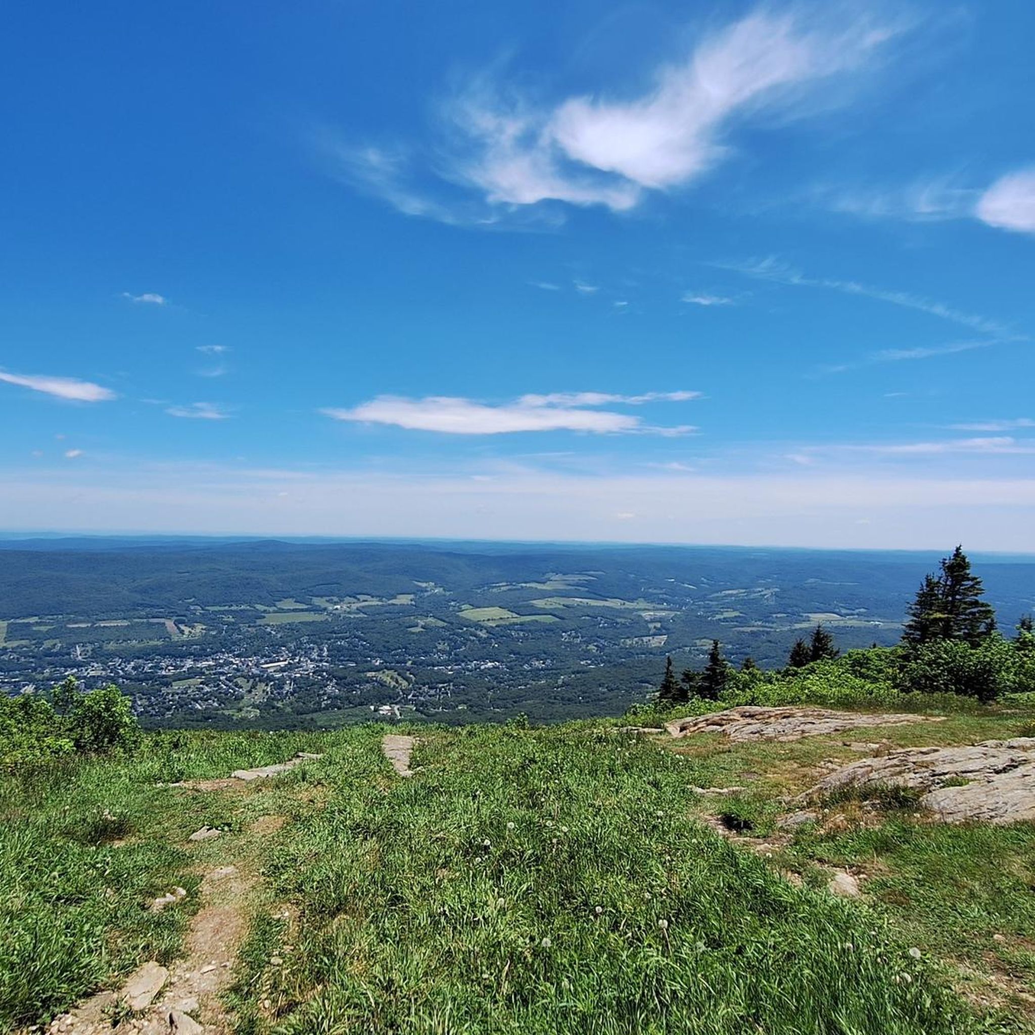
Mount Greylock is the tallest peak in Massachussets. On a clear day, you can see up to 90 miles in the distance. At the peak, there is a visitor center, restrooms and a scenic viewing area.
0
0
Frequently Asked Questions
How many road cycling routes are available around Williamstown?
Williamstown offers a wide selection of road cycling routes, with over 20 tours available on komoot. These routes cater to various skill levels, from easy rides to challenging ascents.
What kind of terrain can I expect when road cycling in Williamstown?
The region boasts a diverse landscape, featuring a mix of paved roads, quiet country routes, and significant elevation changes. You'll find everything from gentle paths along river valleys to demanding climbs up mountains like Mount Greylock.
Are there options for less experienced road cyclists in Williamstown?
Yes, Williamstown offers several routes suitable for beginners or those seeking a more relaxed ride. For instance, the Hoosic River loop from The Clark Art Institute is an easy option. Additionally, the Ashuwillticook Rail Trail, a broad, flat, paved path, is popular for casual riders, though not explicitly listed as a komoot road cycling tour in this guide.
Where can I find challenging road cycling routes in Williamstown?
For experienced road cyclists seeking a challenge, routes involving Mount Greylock are ideal. The The Clark Art Institute – Mount Greylock loop from Williamstown and the Mount Greylock loop from The Clark Art Institute both feature significant climbs. The Kingsley Hill Loop is also known for one of the steepest paved roads in New England.
What scenic attractions or landmarks can I see while road cycling in Williamstown?
Many routes offer stunning views and pass by notable landmarks. You can cycle past the Veterans' War Memorial Tower at the summit of Mount Greylock, or enjoy the views from the Stone Hill trails at The Clark Art Institute. The Hoosic River and Green River also flow through the area, providing picturesque riverside scenery.
Are there any circular road cycling routes around Williamstown?
Yes, many of the road cycling routes in Williamstown are designed as loops, allowing you to start and end at the same point. Examples include the The Clark Art Institute – Cold Spring Preserve loop and the Cold Spring Preserve loop from The Clark Art Institute, offering varied terrain and scenic views.
What is the best time of year for road cycling in Williamstown?
The spring, summer, and fall months generally offer the most pleasant conditions for road cycling in Williamstown. Fall is particularly scenic with vibrant foliage. While winter cycling is possible, be prepared for colder temperatures and potential snow or ice on roads, especially at higher elevations like Mount Greylock.
What do other road cyclists enjoy most about Williamstown?
The road cycling experience in Williamstown is highly rated by the komoot community, with an average score of 4.5 stars. Cyclists often praise the challenging mountain roads, the scenic country routes, and the diverse terrain that caters to different ability levels.
Are there family-friendly road cycling options in Williamstown?
While many road cycling routes involve significant elevation, the region also offers gentler, paved paths suitable for families. The Mohican Recreational Path (Mohawk Trail/Williamstown Bike Path) is a multi-use, paved trail alongside the Hoosic River, perfect for a leisurely family ride.
What are the parking options for road cyclists in Williamstown?
Parking is generally available at various trailheads and points of interest around Williamstown. For example, The Clark Art Institute often serves as a convenient starting point for several routes, and there are designated parking areas for trails like the Ashuwillticook Rail Trail.
Are there cafes or places to stop for refreshments along the road cycling routes?
Williamstown and its surrounding towns offer various cafes, restaurants, and local establishments where cyclists can stop for refreshments. While specific cafes aren't directly on every route, planning your ride to pass through town centers will provide ample opportunities for breaks.
Is public transport available to access road cycling routes in Williamstown?
Public transport options to directly access specific road cycling trailheads might be limited. However, Williamstown itself is accessible by regional bus services, and from the town center, many routes are within cycling distance or can be reached by a short ride.
Most popular attractions around Williamstown

Get inspired with the komoot mobile app


Explore more
Browse the best Road cycling routes in other regions.
