The best walks and hikes around Durlangen
4.6
(1935)
8,799
hikers
29
hikes
Hiking around Durlangen offers diverse landscapes characterized by rolling hills, green meadows, and extensive forests. The region features several rivers, including the Kocher and Lein, along with various reservoirs like Rehnenmühle and Täferrot. This varied terrain provides a range of hiking experiences, from gentle riverside paths to routes through wooded areas.
Best hiking trails around Durlangen
- The most popular hiking route is Lein Footbridge Near Tennhöfle – Lake Reichenbach loop from Leintal zwischen Leinecksee und Leinhäusle, a 4.3 miles (7.0 km) trail that takes 1 hour 52 minutes to complete. This easy route explores the scenic Lein valley.
- Another top favourite among local hikers is Rehnenmühle Reservoir – View of the Täferrot Reservoir loop from Durlangen, a moderate 8.7 miles (13.9 km) path. This route offers views of two significant reservoirs in the area.
- Local hikers also love the Hof Café Weggenziegelhütte – Lake Reichenbach loop from Leintal zwischen Leinecksee und Leinhäusle, a 3.0 miles (4.9 km) trail leading through the Lein valley, often completed in about 1 hour 20 minutes.
- Hiking around Durlangen is defined by rolling hills, river valleys, and forested areas, with routes often passing by reservoirs. The network offers options for different ability levels, from easy strolls to moderate hikes.
- The routes in Durlangen are highly rated by the komoot community with an average score of 4.6 stars from over 1700 reviews. More than 8900 hikers have used komoot to explore Durlangen's varied terrain.
Last updated: July 11, 2026
4.8
(91)
309
hikers
Moderate hike. Good fitness required. Easily-accessible paths. Suitable for all skill levels.
4.7
(24)
84
hikers
Easy hike. Great for any fitness level. Easily-accessible paths. Suitable for all skill levels.

Sign up for free
4.9
(9)
38
hikers
13.9km
03:42
140m
140m
Moderate hike. Good fitness required. Easily-accessible paths. Suitable for all skill levels.
4.2
(5)
39
hikers
Easy hike. Great for any fitness level. Easily-accessible paths. Suitable for all skill levels.
5.0
(4)
16
hikers
Easy hike. Great for any fitness level. Easily-accessible paths. Suitable for all skill levels.
Get access to more routes and recommendations from other explorers.
Sign up for free
Already have an account?
Our route recommendations are based on thousands of hikes, rides, and runs completed by other people on komoot.
Start today with a free account
Your next adventure awaits.
Login or Signup
Tips from the Community

Cold, fresh well water... You can drink it.
0
0

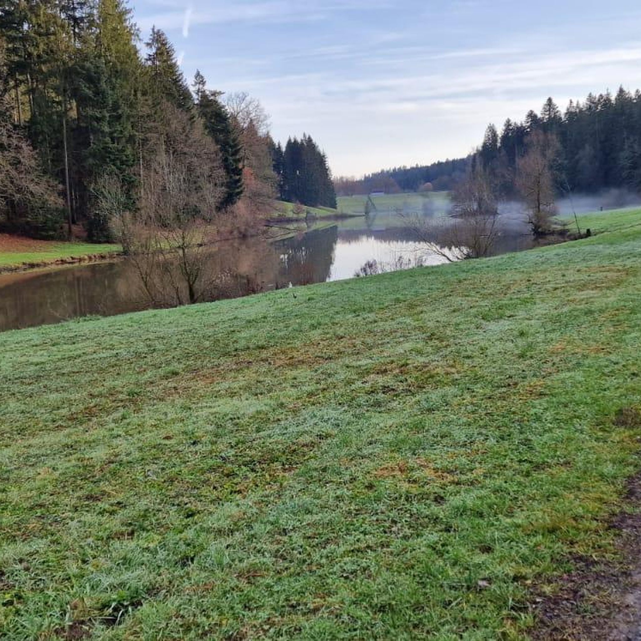
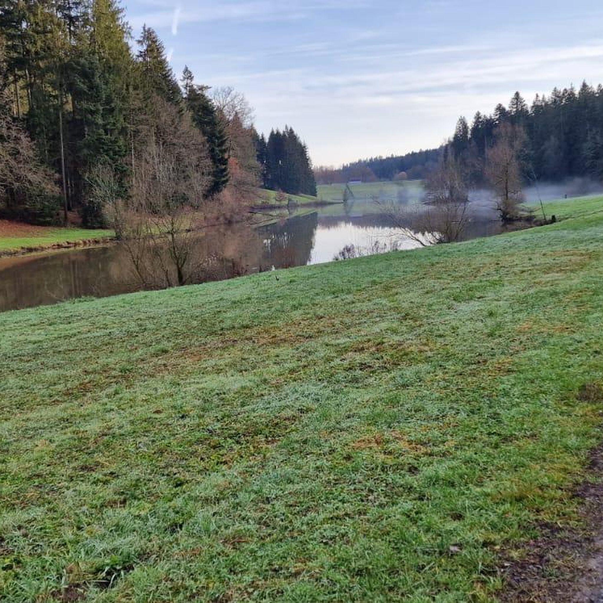
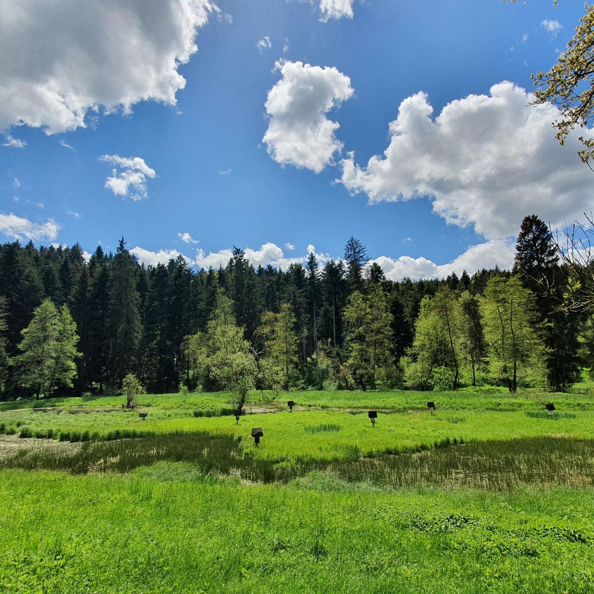
The Rehnenmühle flood retention basin is idyllically situated between Durlangen and Tierhaupten and not only provides flood protection in the Leintal valley but also creates a surprisingly calm atmosphere in the middle of nature. Especially in the morning, the forest and sky are beautifully reflected in the water. With a bit of luck, numerous water birds can be observed here. During my visit, the lake was firmly in the grip of several goose families with plenty of offspring.
0
0
Good idea... that way you won't miss the inconspicuous path...
0
0
...how the trees can no longer stand stably near the shore and how Mikado sticks have fallen over. The recent heavy rain pushed them into place and further eroded the shore areas.
0
0
View of the bridge from the side, which otherwise has to bear the weight of the vehicles.
0
0
A fairly stable, wide path leads over the tributary (stream) of the Lein. There is no railing, and it's not necessary...
0
0
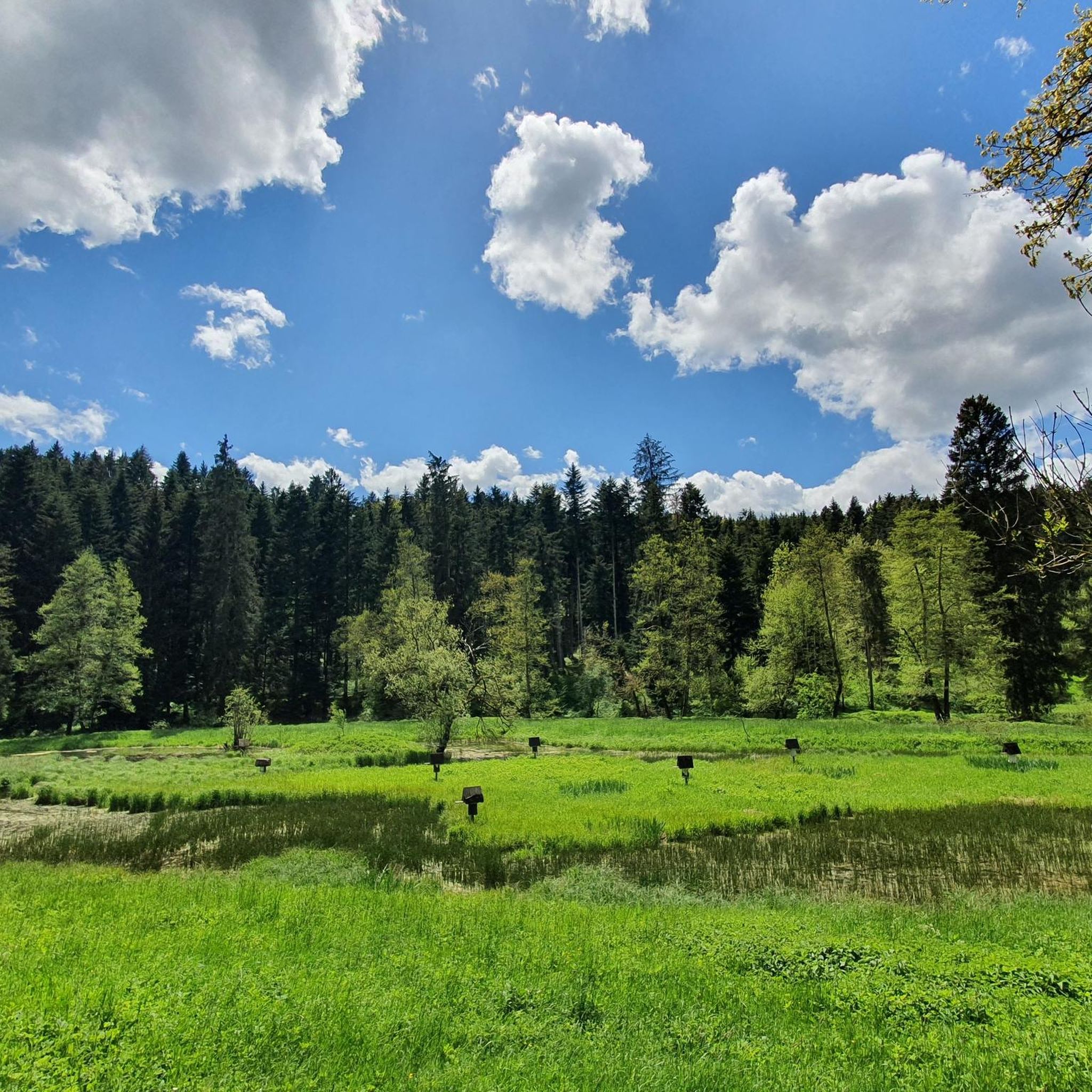
You can hear it from afar, the water rushing into the depths. A few steps across the meadow, and then a view of the small waterfall opens up in all its glory. I don't want to imagine how deep it actually is at that spot.
0
0
The edges on both sides have been filled with pebbles, creating a seamless transition and eliminating any major tripping hazards. One bank is heavily eroded. I hope someone here will take a look and fix it.
2
0
Frequently Asked Questions
How many hiking trails are there in Durlangen?
There are over 20 hiking trails around Durlangen, offering a variety of experiences for different skill levels. You'll find a good mix of easy and moderate routes.
What kind of terrain can I expect on hikes around Durlangen?
Hikes around Durlangen feature diverse terrain, including gentle rolling hills, green meadows, and extensive forests. Many routes follow river valleys, such as the Kocher and Lein, and pass by picturesque lakes and reservoirs, providing a varied landscape for exploration.
Are there easy hiking trails suitable for beginners in Durlangen?
Yes, Durlangen offers several easy trails perfect for beginners or those seeking a relaxed stroll. For example, the Lein Footbridge Near Tennhöfle – Lake Reichenbach loop is an easy 4.3-mile route through the scenic Lein valley. Another great option is the Gasthaus zur Krone loop from Durlangen, which is just over 2.5 miles long.
Are there any circular hiking routes in Durlangen?
Yes, many trails in Durlangen are designed as circular routes, allowing you to start and end at the same point. A popular moderate circular route is the Rehnenmühle Reservoir – View of the Täferrot Reservoir loop, which offers scenic views of two significant reservoirs. The Rehnenmühle Reservoir – St. Anna Church Tanau loop is another moderate circular option.
What are some family-friendly hiking options in Durlangen?
For families, the circular trail around Einkornsee lake is highly recommended. It's nestled between forests and fields, offering a leisurely stroll. The "Obst-Genuss-Pfad" (fruit enjoyment trail) in the orchard meadows also provides an engaging experience, combining hiking with learning about local fruit types.
Can I hike with my dog in Durlangen?
Yes, Durlangen's natural landscapes, with its extensive forests and open meadows, are generally very welcoming for dog owners. Most trails are suitable for dogs, but always remember to keep your dog on a leash where required and clean up after them.
Are there any trails that feature lakes or reservoirs?
Absolutely. The region is dotted with several beautiful bodies of water. The Rehnenmühle Reservoir – View of the Täferrot Reservoir loop directly passes by these two significant reservoirs. Other notable reservoirs in the area include Götzenbach Lake and Eisenbach Reservoir, offering picturesque settings for your hike.
What natural attractions or landmarks can I see while hiking?
While hiking, you can discover several interesting natural features and landmarks. The "Hollow Stone" (Götzenloch), a small cave formed by a spring, offers a unique detour. You might also encounter the Schelmenklinge Water Features, known for its imposing sandstone cliffs and water displays, or the Himmelsleiter (Heaven’s Ladder) staircase nearby.
When is the best time of year to go hiking in Durlangen?
The best seasons for hiking in Durlangen are spring and autumn. Spring brings mild temperatures and vibrant wildflowers along the trails, while autumn transforms the deciduous forests into a spectacle of colorful foliage. Both seasons offer comfortable conditions and beautiful scenery.
Are there hiking trails accessible by public transport in Durlangen?
While specific public transport connections to trailheads can vary, Durlangen is part of the Ostalbkreis district, which has regional bus services. It's advisable to check local bus schedules to see which routes might align with your chosen hiking starting points.
Where can I find parking for hiking trails in Durlangen?
Many popular trailheads and recreational areas around Durlangen, especially near lakes like Einkornsee or reservoirs like Rehnenmühle, typically offer designated parking facilities. For specific routes, komoot tours often provide details on nearby parking options.
What do other hikers say about the trails in Durlangen?
The trails in Durlangen are highly rated by the komoot community, with an average score of 4.6 stars from over 1700 reviews. Hikers often praise the diverse landscapes, the well-maintained paths, and the peaceful atmosphere found along the river valleys and through the forests.
Are there any trails that pass by historical sites or cultural points of interest?
Yes, the "In the Footsteps of Water" cultural circular trail along the Kocher river provides insight into the area's history, featuring historic mills. Additionally, the Hohenrechberg Castle Ruins, though requiring an entrance fee, offer historical interest and great views from a short detour.
Most popular routes around Durlangen
Most popular attractions around Durlangen

Get inspired with the komoot mobile app


Explore more
Browse the best Hikes in other regions.
