The best walks and hikes around Dürmentingen
4.5
(4093)
18,503
hikers
17
hikes
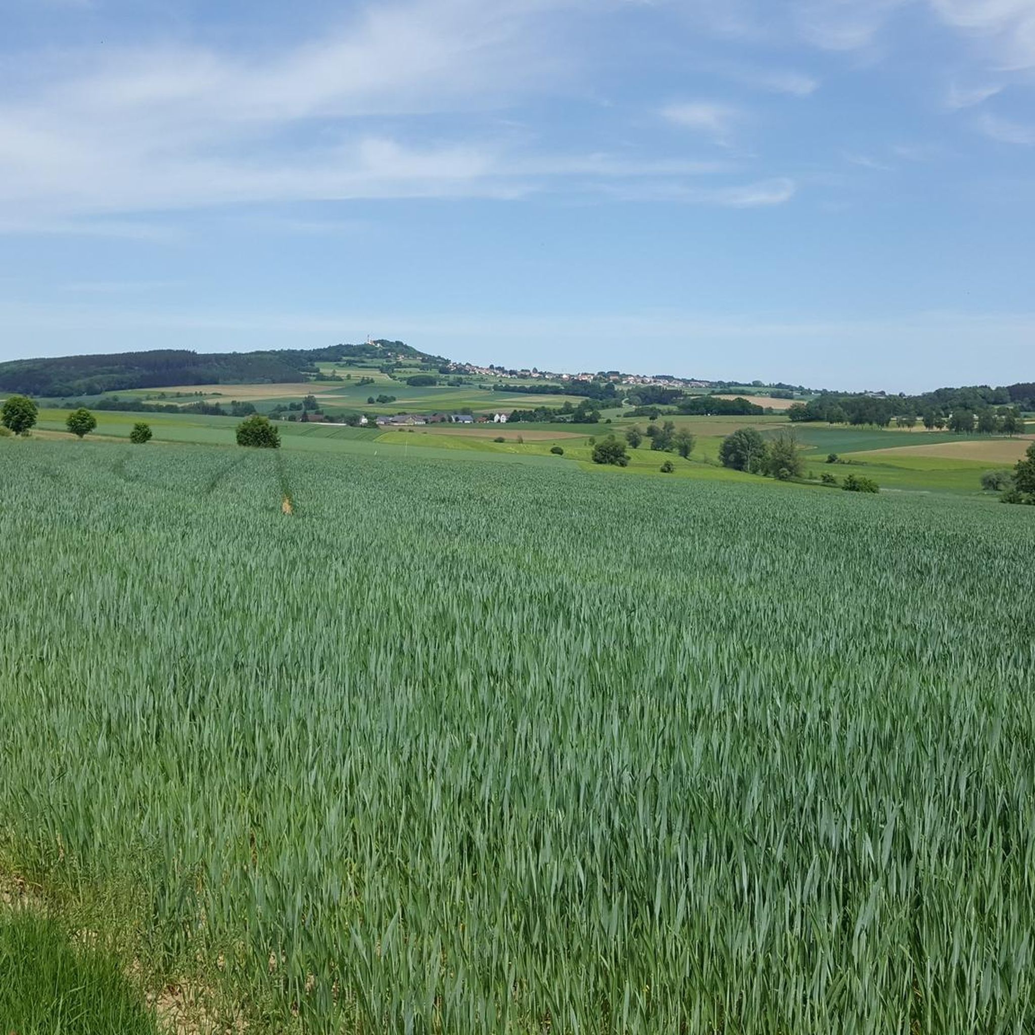
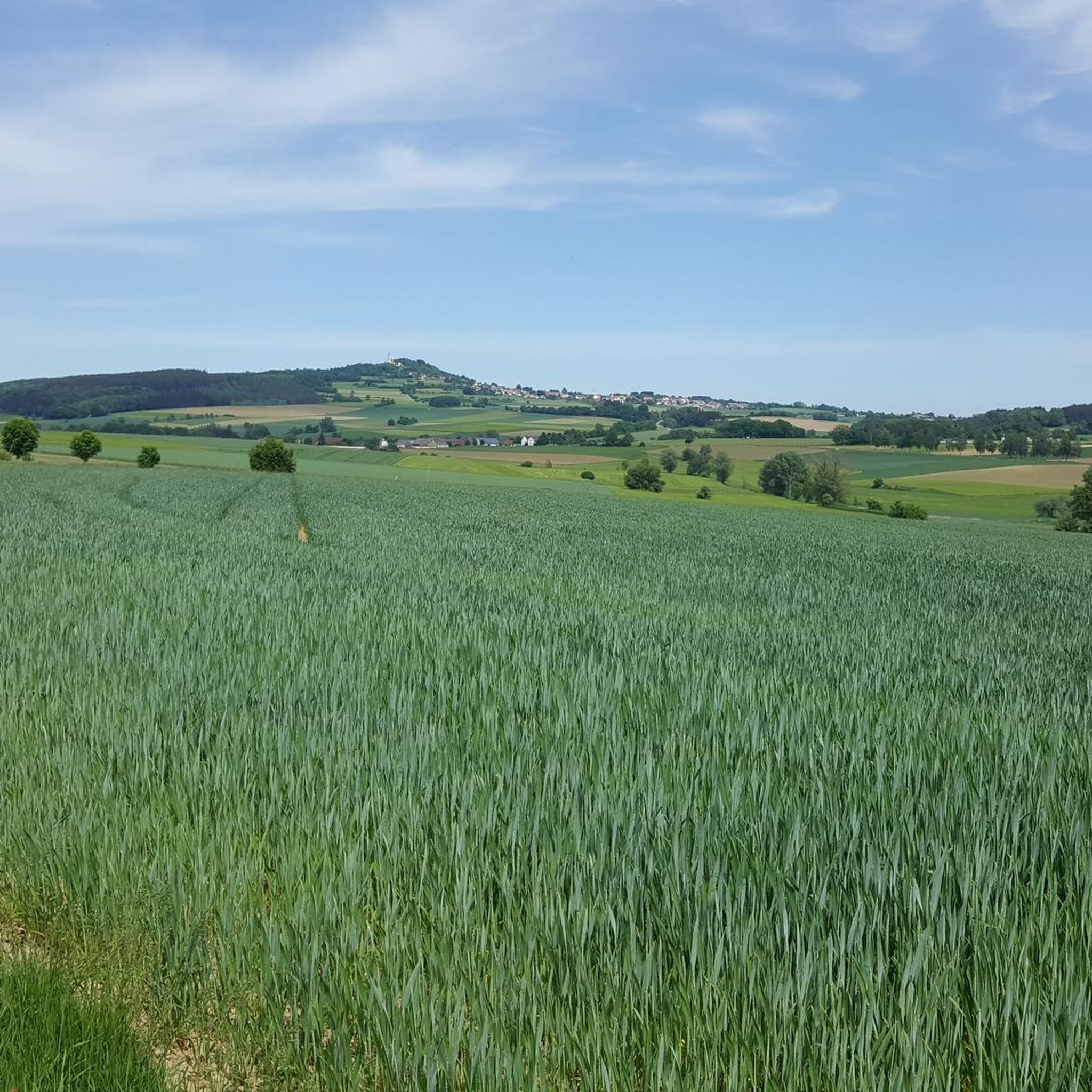
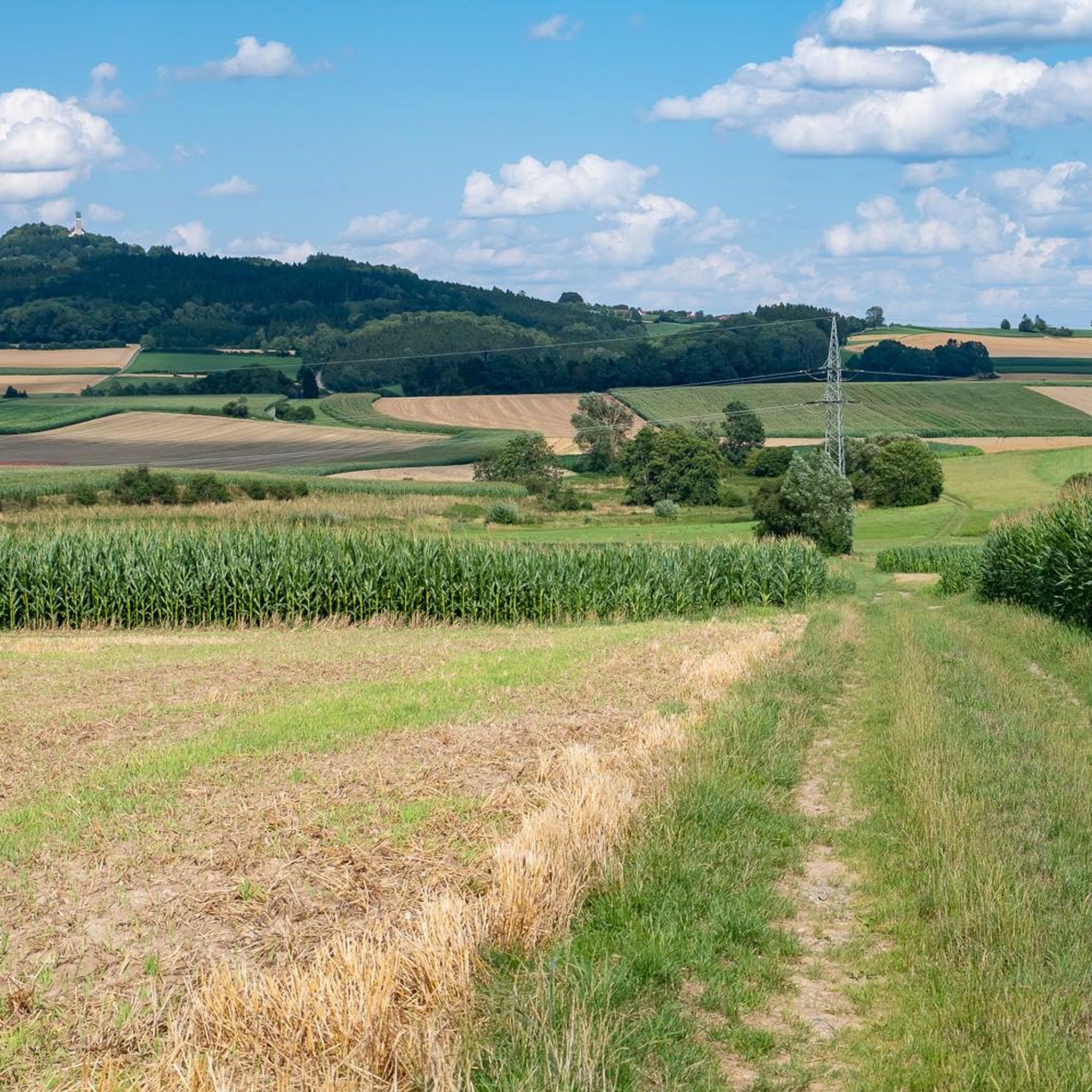
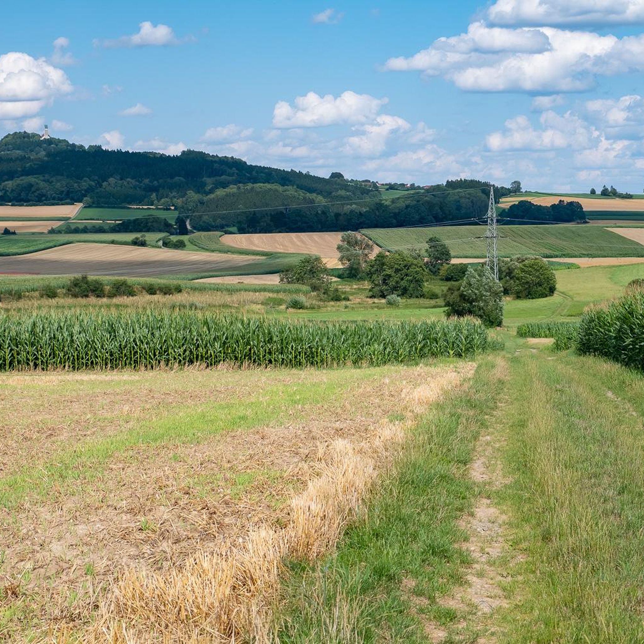
Hiking around Dürmentingen offers diverse landscapes at the foot of the Swabian Alb, characterized by rolling hills, lush meadows, and dense forests. The region features prominent natural landmarks such as the Bussen, a 767-meter hill providing panoramic views, and the tranquil Kanzach Valley. A well-developed network of hiking trails explores these varied environments, including the unique habitats of the Federsee area. This setting provides a range of options for outdoor enthusiasts seeking natural exploration.
Best hiking trails around Dürmentingen
- The most popular hiking route is Ätsche Grätsche Tower – St. Oswald Church loop from Dürmentingen, a 3.1 miles (5.0 km) trail that takes about 1 hour 20 minutes to complete. This easy route connects two local landmarks within the Dürmentingen area.
- Another top favourite among local hikers is Seelenwald loop from Regierungsbezirk Tübingen, a moderate 5.7 miles (9.2 km) path. This trail leads through the scenic "Seelenwald" (Soul Forest), offering a peaceful natural experience.
- Local hikers also love the Ätsche Grätsche Tower – Seelenwald loop from Heudorf, a 7.2 miles (11.6 km) trail leading through forests and open landscapes, often completed in about 3 hours 6 minutes.
- Hiking around Dürmentingen is defined by rolling hills, dense forests, and the prominent Bussen hill, offering expansive views. The network provides options for various ability levels, from easy strolls to moderate climbs.
- The routes in Dürmentingen are highly rated by the komoot community with an average score of 4.5 stars from over 1,900 reviews. More than 10,000 hikers have used komoot to explore Dürmentingen's varied terrain.
Last updated: July 1, 2026
4.4
(31)
89
hikers
5.04km
01:20
50m
50m
Easy hike. Great for any fitness level. Easily-accessible paths. Suitable for all skill levels.
4.7
(3)
19
hikers
9.17km
02:25
80m
80m
Moderate hike. Good fitness required. Easily-accessible paths. Suitable for all skill levels.

Sign up for free
4.8
(4)
17
hikers
11.6km
03:06
120m
120m
Moderate hike. Good fitness required. Easily-accessible paths. Suitable for all skill levels.
4.3
(6)
15
hikers
3.91km
01:02
40m
40m
Easy hike. Great for any fitness level. Easily-accessible paths. Suitable for all skill levels.
5.0
(1)
3
hikers
16.0km
04:10
110m
110m
Moderate hike. Good fitness required. Easily-accessible paths. Suitable for all skill levels.
Get access to more routes and recommendations from other explorers.
Sign up for free
Already have an account?
Our route recommendations are based on thousands of hikes, rides, and runs completed by other people on komoot.
Start today with a free account
Your next adventure awaits.
Login or Signup
Tips from the Community

Due to storm damage from last winter, the route had to be changed. We went right instead of left on a path around the moor and lake landscape. The damage was massive and interesting. Frogs and dragonflies in the "lake". Water lilies and 1 water lily.
0
0

I was here (only) in June, but there must be a lot of mushrooms here in late summer 🍄
1
0

This is a bog lake and is in the middle of the forest. It was created by peat mining.
5
0
Interested in displaced Moorsee.
4
0

Interesting boggy wetland. On my tour, the MTB had to be carried over a fallen tree trunk.
0
0

Unfortunately, the Blindsee is getting smaller and smaller
2
0
Frequently Asked Questions
What is the best time of year to go hiking in Dürmentingen?
The most pleasant times for hiking in Dürmentingen are during spring and autumn. Spring offers vibrant blooms, while autumn showcases rich colors. While summer can be warm, early morning or late afternoon hikes are still enjoyable.
What types of landscapes will I encounter on the trails around Dürmentingen?
The region around Dürmentingen features diverse landscapes, including picturesque rolling hills, lush green meadows, and dense forests. You'll also find prominent natural landmarks like the Bussen, offering panoramic views, and the tranquil Kanzach Valley with its easy-to-manage routes.
Are there any easy or family-friendly hiking trails in Dürmentingen?
Yes, Dürmentingen offers several easy routes suitable for families. The Ätsche Grätsche Tower – St. Oswald Church loop from Dürmentingen is an easy 5 km trail. Additionally, the 'Panoramaweg' is noted for being well-signposted and accessible, with rest areas and playgrounds, making it ideal for families.
Can I bring my dog on the hiking trails in Dürmentingen?
Generally, dogs are welcome on most hiking trails in Dürmentingen. However, it's always recommended to keep them on a leash, especially in nature reserves like the Federsee area, to protect local wildlife. Please ensure you clean up after your pet.
Are there any circular hiking routes available?
Yes, many routes around Dürmentingen are circular. For example, the Seelenwald loop from Regierungsbezirk Tübingen is a moderate 9.2 km circular path through the scenic 'Seelenwald'. Another option is the Ätsche Grätsche Tower – Seelenwald loop from Heudorf, which is 11.6 km long.
What are some notable natural attractions or landmarks to see while hiking?
Hikers can explore several significant natural attractions. The Bussen, known as the 'Holy Mountain of Upper Swabia', offers breathtaking panoramic views. The Kanzach Valley features the 'Blinde See' (Kanzach Nature Reserve). You can also visit the Federsee Boardwalk Through Federsee Moor near Bad Buchau, which provides a unique marshland experience.
How many hiking trails are there in the Dürmentingen area?
There are over 15 hiking routes available around Dürmentingen, catering to various skill levels. These include easy strolls and more moderate climbs through diverse landscapes.
What do other hikers enjoy most about the trails in Dürmentingen?
The hiking routes in Dürmentingen are highly rated by the komoot community, with an average score of 4.5 stars from nearly 2,000 reviews. Hikers often praise the diverse terrain, from rolling hills to dense forests, and the expansive views, particularly from the Bussen.
Are there any routes that lead to the Bussen for panoramic views?
Yes, a sporty tour to the Bussen is a popular choice and rewards hikers with breathtaking panoramic views from its 767-meter summit. On clear days, you can see the Federsee basin, the Schussental, and even the distant Alps.
Are there any trails that follow old railway lines?
Yes, the former Federseebahn (Kanzachtalbahn) railway embankment has been converted into a cycling and hiking trail. This route winds through the beautiful Kanzach Valley, offering various circular hiking options towards Federsee or Riedlingen.
What are the difficulty levels of the hiking trails in Dürmentingen?
The trails around Dürmentingen offer a range of difficulty levels. You'll find approximately 4 easy routes, perfect for leisurely walks, and about 13 moderate routes for those seeking a bit more challenge. There are no difficult routes listed in this area.
Is there public transport access to hiking trailheads in Dürmentingen?
While Dürmentingen is well-connected by road, specific public transport links directly to all trailheads can vary. It's advisable to check local bus schedules for connections to Dürmentingen and surrounding villages, which may offer access to various starting points.
Where can I find parking for hiking trails in Dürmentingen?
Parking is generally available in and around Dürmentingen, particularly near popular starting points for trails. Look for designated parking areas in the village centers or at key attractions like the Bussen. Always check local signage for any restrictions.
Most popular routes around Dürmentingen
Most popular attractions around Dürmentingen

Get inspired with the komoot mobile app


Explore more
Browse the best Hikes in other regions.
