The best walks and hikes around Dürrwangen
4.5
(1230)
5,005
hikers
23
hikes
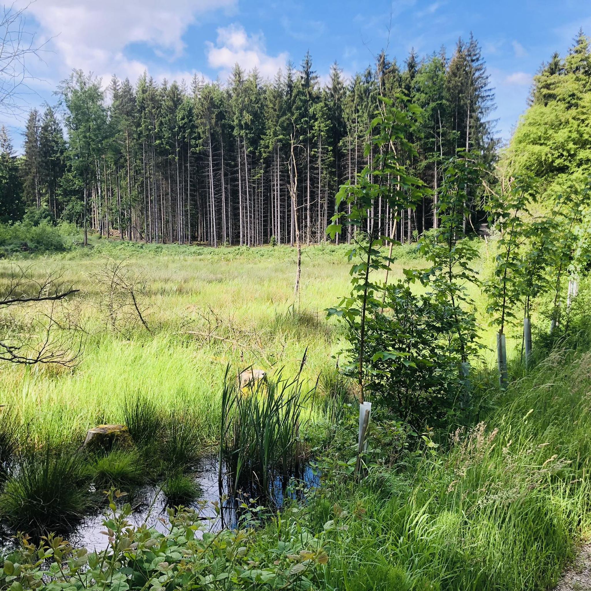
Hiking around Dürrwangen offers diverse landscapes, including gentle hills, scenic meadows, and dense forests. The region is shaped by the Altmühl River and features the tranquil Dürrwangener Weiher (lake). This varied terrain provides a range of hiking experiences, from riverside paths to trails through wooded areas.
Best hiking trails around Dürrwangen
- The most popular hiking route is Beautiful forest area – Kneippbrünnle Kneipp Facility loop from Halsbach, a 7.7 miles (12.5 km) trail that takes 3 hours 18 minutes…
Last updated: June 26, 2026
4.2
(13)
50
hikers
12.7km
03:22
130m
130m
Moderate hike. Good fitness required. Easily-accessible paths. Suitable for all skill levels.
4.3
(23)
93
hikers
19.4km
05:07
180m
180m
Hard hike. Very good fitness required. Easily-accessible paths. Suitable for all skill levels.

Sign up for free
4.7
(3)
6
hikers
6.71km
01:48
80m
80m
Easy hike. Great for any fitness level. Easily-accessible paths. Suitable for all skill levels.
2.0
(1)
5
hikers
9.91km
02:35
70m
70m
Moderate hike. Good fitness required. Easily-accessible paths. Suitable for all skill levels.
5.0
(1)
5
hikers
8.28km
02:14
110m
110m
Moderate hike. Good fitness required. Easily-accessible paths. Suitable for all skill levels.
Get access to more routes and recommendations from other explorers.
Sign up for free
Already have an account?
Our route recommendations are based on thousands of hikes, rides, and runs completed by other people on komoot.
Start today with a free account
Your next adventure awaits.
Login or Signup
Other adventures around Dürrwangen

Tips from the Community

Nice hiking restaurant in the Mutschach
0
0
Small pond in the extensive Mutschach area
0
0
with tree art
0
0

Great street. Great old town. What more could you want? 🤩
3
0

A predecessor church with a likely rectangular chancel, stone foundations of which were uncovered in 1977/78, probably dates from 1142/46 and was probably dedicated to St. Ursula. Around 1227, a freestanding bell tower (campanile) with an impressive tower hall and Romanesque round-arch portal without a tympanum was built. It was extended around 1238 and connected to the church interior. An extension of the rectangular chancel and certainly a consecration to St. Bartholomew took place after 1302. This church was replaced between 1323 and 1341 by a new building 70 meters long with a Gothic chancel end, which was demonstrably already dedicated to St. George. It was replaced by the construction of the Minster between 1448 and 1499. For the three-aisled hall church, which was widened and extended on both sides, the new tower was only built on the ground floor, while the old tower was extended until 1550.
0
0

Spring next door with drinking water
1
0

A wonderful medieval town. Definitely worth a visit.
0
0
Sixteen towers and four city gates surround the historic old town of Dinkelsbühl. The best way to view them is to walk around the old town outside the city walls.
0
0
Frequently Asked Questions
How many hiking trails are available around Dürrwangen?
There are over 20 hiking routes around Dürrwangen, offering a variety of experiences. These include 11 easy trails, 11 moderate routes, and 2 more challenging treks, ensuring options for all fitness levels.
What kind of landscapes can I expect to see while hiking in Dürrwangen?
Dürrwangen offers diverse landscapes, from gentle hills and scenic meadows to dense forests. You can explore paths along the tranquil Altmühl River, wander through the well-marked trails of the "Buchenwald" forest park, or enjoy the serene circular path around the picturesque Dürrwangener Weiher (lake).
What is the best time of year to go hiking in Dürrwangen?
The most favorable seasons for hiking in Dürrwangen are spring and autumn. During these times, the weather is comfortably mild, and nature showcases its splendor, with an abundance of blooming flowers in spring and a vibrant display of colorful leaves in autumn.
Are there any circular hiking routes in the area?
Yes, Dürrwangen offers several circular routes. For example, you can enjoy the Hiking loop from Dürrwangen, which is a moderate 8.5 km trail. Another option is the Hiking Car Park – Wind Turbines at Dammerberg loop from Neuses, an easy 6.7 km path with open landscape views.
What do other hikers enjoy most about the trails in Dürrwangen?
The trails in Dürrwangen are highly rated by the komoot community, with an average score of 4.5 stars from over 1,100 reviews. Hikers often praise the varied terrain, from serene forest paths to open landscapes, and the well-maintained routes that offer fresh perspectives of idyllic locations.
Are there any family-friendly hiking trails in Dürrwangen?
Yes, Dürrwangen has several easy trails suitable for families. The Altmühl River features a particularly beautiful and relatively flat hiking trail, perfect for families with children. An example of a moderate family-friendly route is the Beautiful forest area – Kneippbrünnle Kneipp Facility loop from Halsbach, a 12.5 km trail through a serene forest.
What natural attractions or landmarks can I see along the hiking trails?
Beyond the diverse landscapes, you can discover several natural attractions and landmarks. Explore the picturesque Rothenburger Weiher or the tranquil Hofweiher near Thürnhofen. For birdwatching, the Walk and Gaisweiher Bird Sanctuary Nature Reserve is a notable highlight.
Are there any historical sites or towns to visit near the hiking routes?
Absolutely. The region is rich in history. You can visit the charming Dinkelsbühl Old Town, known for its well-preserved medieval architecture. Another interesting site is the Feuchtwangen Market Square. For a more challenging hike that includes historical views, consider the Wörnitz Gate – Dinkelsbühl Old Town loop from Halsbach.
Can I hike with my dog in Dürrwangen?
Many trails in Dürrwangen are suitable for dogs, especially those through forests and open fields. However, it's always recommended to keep dogs on a leash, especially near wildlife or in agricultural areas, and to check local regulations for specific trails or nature reserves.
Are there any trails with good viewpoints?
Yes, adventurous hikers will appreciate the Altmühltal Panorama Trail, known for its breathtaking views of the surrounding natural beauty. While specific viewpoints aren't listed for every trail, the varied terrain often provides open vistas, such as those found on the Natural Pond – Old Church Path loop from Karlsholz.
Is parking available at the trailheads?
While specific parking information for every trailhead isn't detailed, many popular hiking areas in Germany, including those around Dürrwangen, typically offer designated parking spaces for hikers. It's advisable to check the starting point of your chosen route for specific parking instructions.
Are there options for public transport to reach hiking trailheads?
Public transport options to reach trailheads in rural areas like Dürrwangen can be limited. It's best to research local bus schedules or regional train connections to nearby towns and then plan your hike accordingly. Some trailheads might be accessible by bus, but a car often offers more flexibility.
Most popular routes around Dürrwangen
Most popular attractions around Dürrwangen

Get inspired with the komoot mobile app


Explore more
Browse the best Hikes in other regions.
