The best walks and hikes around South St. Paul
4.5
(33)
334
hikers
69
hikes
Hiking around South St. Paul is characterized by routes that follow the Mississippi River and connect a network of regional parks. The landscape features riverside paths, paved greenways, wooded ravines, and bluffs. Many trails are built on levees, providing generally flat terrain suitable for a range of fitness levels. The region also includes diverse ecosystems such as prairies, woodlands, and wetlands.
Best hiking trails around South St. Paul
- The most popular hiking route is Harriet Island & Cherokee Regional Parks…
Last updated: August 31, 2026
3
hikers
4.57km
01:13
50m
40m
The Thompson County Park Loop offers a delightful and easy hiking experience, guiding you through a diverse landscape of forest and open fields. As you walk, you'll enjoy scenic views…
5.0
(1)
4
hikers
5.07km
01:18
20m
20m
The Dodge Nature Center Trails offer a delightful journey through a surprising variety of natural landscapes, perfect for a quick escape into the outdoors. You'll wander through restored prairies, dense…

Sign up for free
4.30km
01:08
60m
10m
Embark on the Point Douglas Trail, an easy 2.7 miles (4.3 km) hiking route that guides you along a paved, multi-use path. You will experience a gentle ascent, gaining 187…
1.44km
00:25
60m
0m
Discover Simon's Ravine, an easy hike offering a refreshing break into nature. This route covers 0.9 miles (1.4 km) with a gentle elevation gain of 186 feet (57 metres), taking…
2.44km
00:37
0m
0m
The Mississippi River Greenway offers an easy hiking experience along the river, stretching 1.5 miles (2.4 km) with a gentle elevation gain of just 10 feet (3 metres). You can…
Get access to more routes and recommendations from other explorers.
Sign up for free
Already have an account?
Our route recommendations are based on thousands of hikes, rides, and runs completed by other people on komoot.
Start today with a free account
Your next adventure awaits.
Login or Signup
Tips from the Community

Battle Creek takes its name from the Battle of Kaposia (also known as the Battle of Battle Creek). In June 1842, a band of roughly 100 Ojibwe warriors traveled south to attack the Dakota village of Kaposia, then led by Chief Little Crow. The Ojibwe hid in the deep, wooded ravine near this site to launch a surprise attack. The ensuing battle lasted for several hours and was so intense that early settlers in what is now downtown Saint Paul could hear the gunfire and watch the fighting from the bluffs across the river. This conflict was the last major large-scale battle between these two nations in the Saint Paul area.
0
0

Neat park with probably one of the biggest rental spaces in Dakota County Parks. Nice new playground, fishing pond, restrooms, disc golf, etc.
0
0
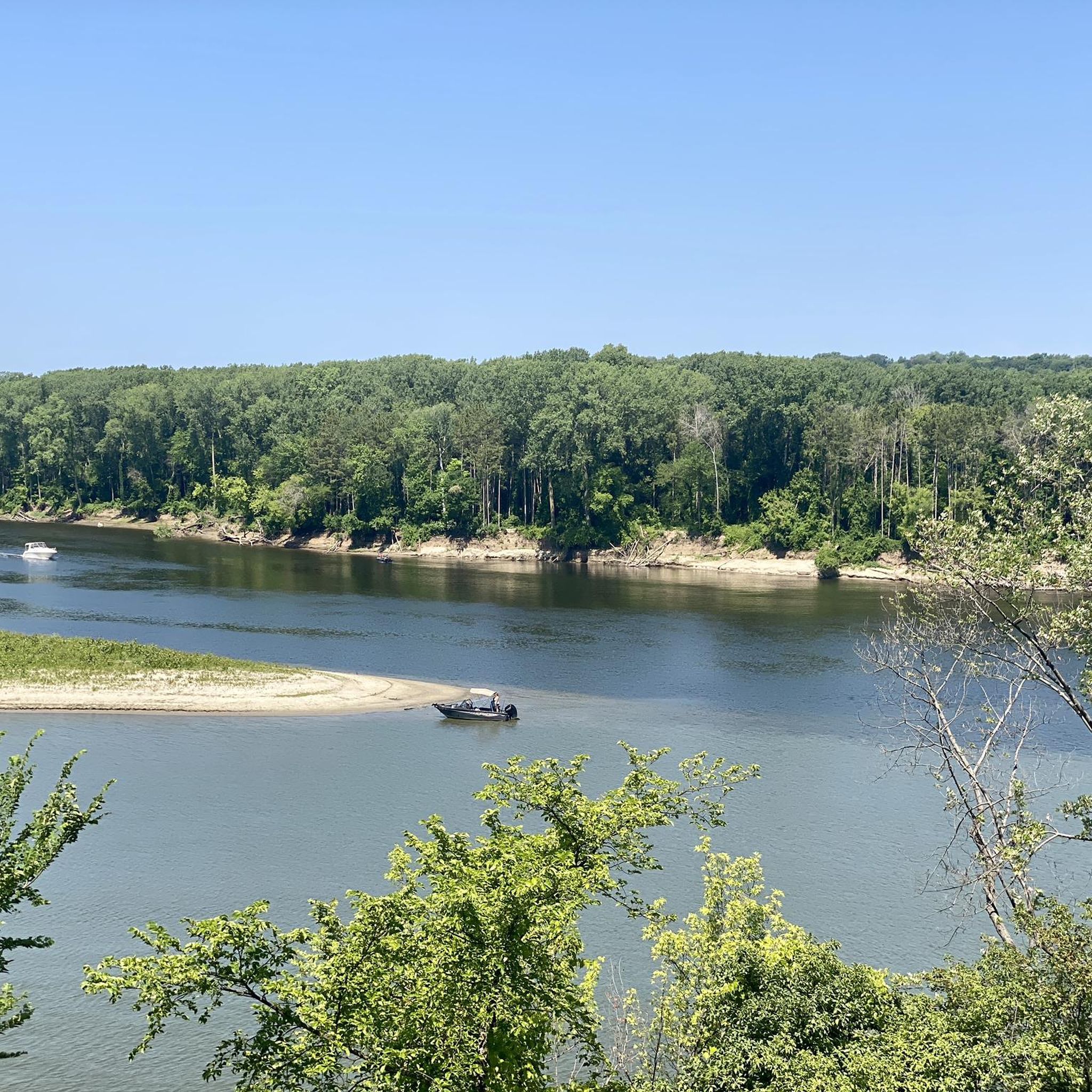
Parking and a boat launch with access to bike trails that head north, south, and east!
1
0

"The Industrious Cooperative Ant" sculpture is located along the trails in Wildflower Levee Park and was created with trash that was found in the river. The art piece serves as a reminder of the importance clean water has, and its value as a resource for not just humans but thousands of other species as well.
0
0

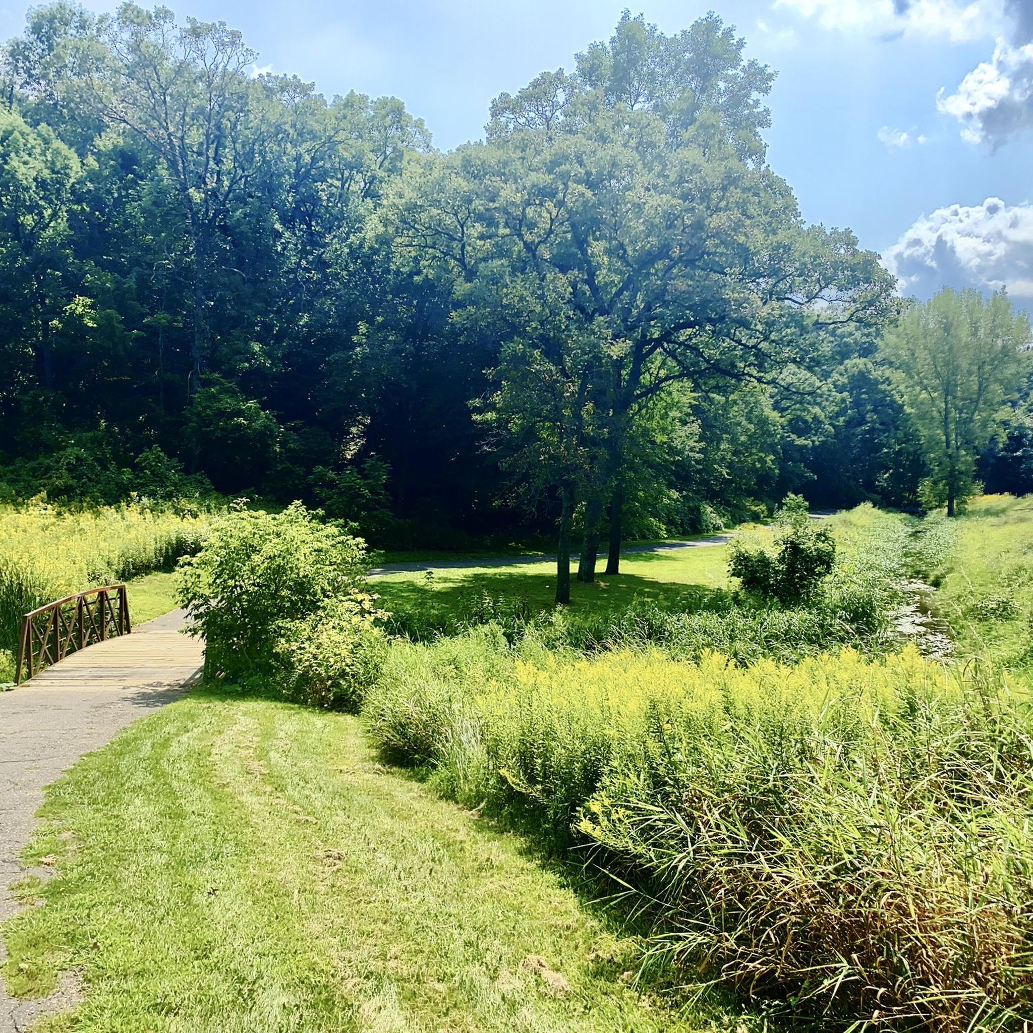
As a part of the Battle Creek Regional Park, the Battle Creek Pavilion Area is located in the north of the park. The paved hiking trail encircles multiple ponds and creeks while leading through the wetlands and open meadows of the area.
0
0
Frequently Asked Questions
Are there many paved hiking trails in the South St. Paul area?
Yes, a significant number of trails around South St. Paul are paved, making them accessible for walking, running, and cycling. The Mississippi River Trail is a prime example, offering a flat, paved path along the river. Many parks, like Crosby Farm Regional Park and Kaposia Landing, also feature extensive paved trail networks through woodlands and along the riverfront.
Can I bring my dog on the hiking trails?
Most parks and trails in and around South St. Paul are dog-friendly, provided your dog is on a leash. Popular spots for dog walkers include the expansive trail systems at Fort Snelling State Park and Battle Creek Regional Park. Always check specific park regulations before you go, as some sensitive natural areas may have restrictions.
What are some good hikes for beginners or families?
The region is excellent for beginners and families due to its many flat, accessible trails. The Kaposia Landing loop — West Saint Paul is a very easy and short walk along the river. For a slightly longer but still gentle option, the trails at Crosby Farm Regional Park are a local favorite, winding through scenic river-bottom forests.
Are there any trails with waterfalls near South St. Paul?
Yes, you can find waterfalls in the area. Hidden Falls Regional Park is a popular destination named for its charming, spring-fed waterfall tucked into the river bluffs. The park offers paved trails that lead to both the base of the falls and an upper viewing area. Shadow Falls Park also features a small, scenic waterfall in a more intimate setting.
What are some popular parks for hiking around South St. Paul?
Several highly-regarded parks offer excellent hiking. Fort Snelling State Park is a vast, popular area with numerous trails at the confluence of the Mississippi and Minnesota rivers. Hidden Falls Regional Park is a local favorite for its scenic trails and namesake waterfall. For a more rugged experience, Battle Creek Regional Park provides a mix of paved and unpaved paths through a large, wooded valley.
How many hiking trails are available around South St. Paul?
There are over 35 hiking routes to explore in and around South St. Paul. The majority of these are rated as easy, featuring paved greenways and flat riverside paths, but there are also several moderate trails that explore the region's wooded bluffs and ravines.
What do other hikers think of the trails in this area?
The trails around South St. Paul are well-regarded by the komoot community, with an average rating of 4.3 out of 5 stars. Hikers often praise the well-maintained paved paths, the beautiful views of the Mississippi River, and the peaceful atmosphere of the connected park system.
Are there any longer-distance hiking options?
Yes, the interconnected trail system allows for longer hikes. The Mississippi River Trail and the River to River Greenway serve as spines that connect multiple parks. You can create extended routes by linking trails between places like Kaposia Park, Kaposia Landing, and Simon's Ravine. The Aspen Loop & Dan's Path — Harmon Park Reserve offers a good example of a longer loop at over 4 miles (6.9 km).
Where can I find scenic views of the Mississippi River?
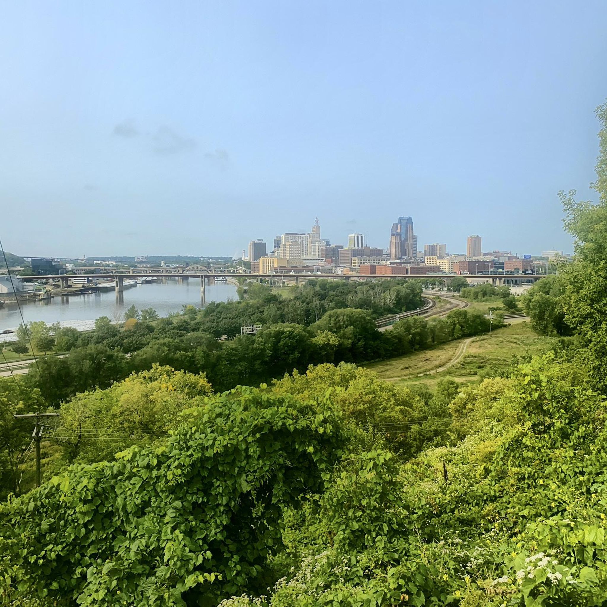
Many trails offer excellent river views. The Mississippi River Trail, built atop a levee, provides open vistas of the water. For elevated views, the trails in Cherokee Regional Park run along the bluffs, offering panoramic scenes of the river and the St. Paul skyline. The overlooks at Kaposia Landing are also great spots for watching river activity.
What kind of terrain should I expect on the trails?
The terrain is quite varied. You'll find many flat, paved greenways, especially along the Mississippi River. However, parks like Battle Creek Regional Park and Hidden Falls Regional Park feature trails that wind through steep, wooded ravines and up river bluffs, offering more challenging inclines and natural surfaces.
How can I get to the trailheads using public transport?
Many of the major parks and trailheads within St. Paul city limits, such as those for Hidden Falls and Cherokee Regional Parks, are accessible via Metro Transit bus routes. It's best to use a transit planning app to find the most direct route to a specific park entrance or trailhead on the day of your hike.
Most popular attractions around South St. Paul

Get inspired with the komoot mobile app


Explore more
Browse the best Hikes in other regions.
