The best walks and hikes around Ebenthal
4.5
(196)
1,104
hikers
177
hikes
Hiking around Ebenthal offers diverse natural landscapes southeast of Klagenfurt, characterized by the Sattnitz Ridge, a popular local recreation area. The region features the unique Höflein Moor, a protected natural site, and the 40-meter-high Ebenthal Waterfall nestled between cliffs. Unspoilt alluvial forests along the Glan and Gurk rivers also contribute to the varied terrain.
Best hiking trails around Ebenthal
- The most popular hiking route is Parish Church of Ebenthal – Grub Village Chapel loop from Ebenthal, a 7.7 miles…
Last updated: July 2, 2026
4.8
(6)
29
hikers
12.4km
03:22
180m
180m
Moderate hike. Good fitness required. Easily-accessible paths. Suitable for all skill levels.
4.0
(2)
17
hikers
Moderate hike. Good fitness required. Easily-accessible paths. Suitable for all skill levels.

Sign up for free
5
hikers
Easy hike. Great for any fitness level. Easily-accessible paths. Suitable for all skill levels.
5.0
(1)
7
hikers
8.34km
02:16
110m
110m
Moderate hike. Good fitness required. Easily-accessible paths. Suitable for all skill levels.
5.0
(1)
6
hikers
Moderate hike. Good fitness required. Easily-accessible paths. Suitable for all skill levels.
Get access to more routes and recommendations from other explorers.
Sign up for free
Already have an account?
Our route recommendations are based on thousands of hikes, rides, and runs completed by other people on komoot.
Start today with a free account
Your next adventure awaits.
Login or Signup

Tips from the Community


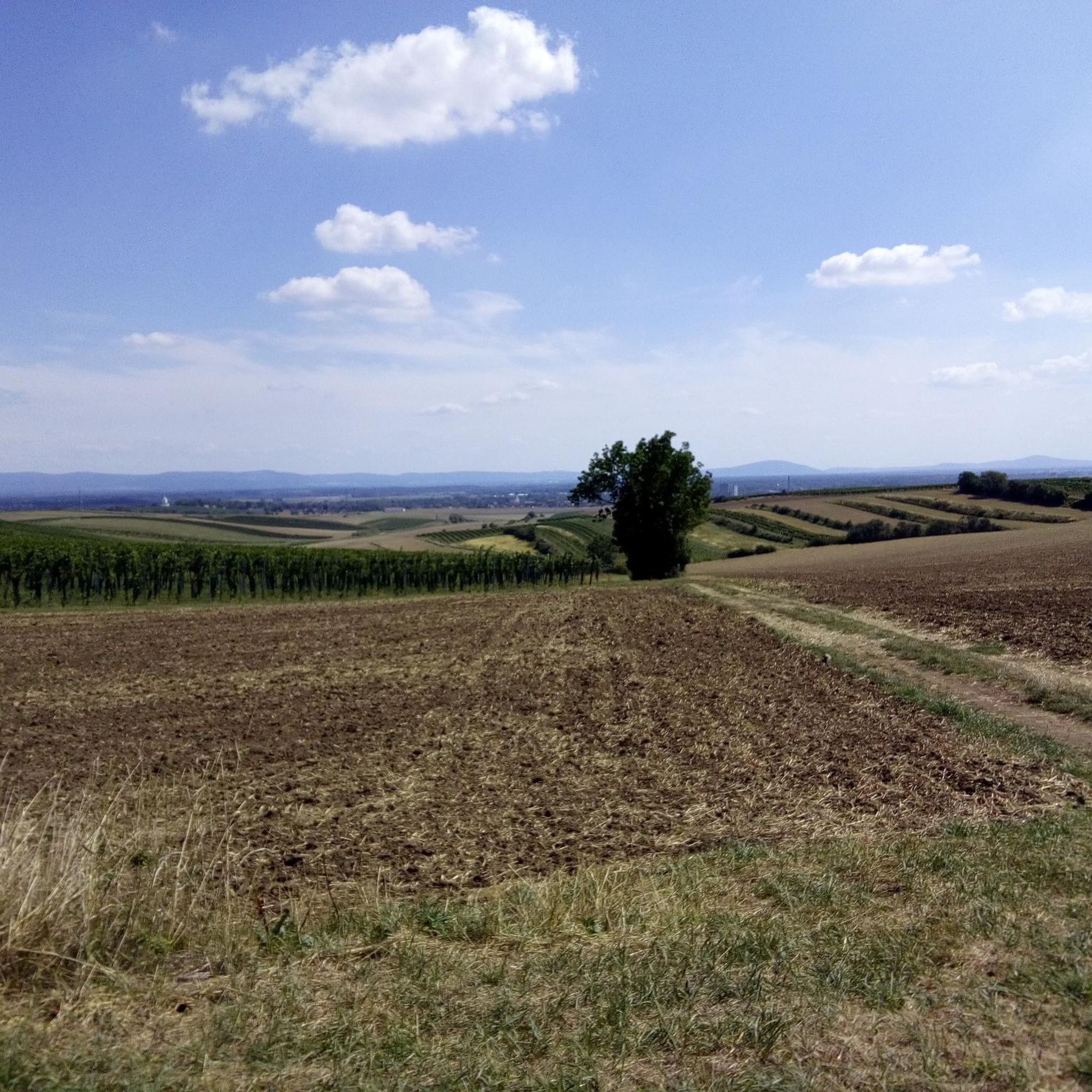
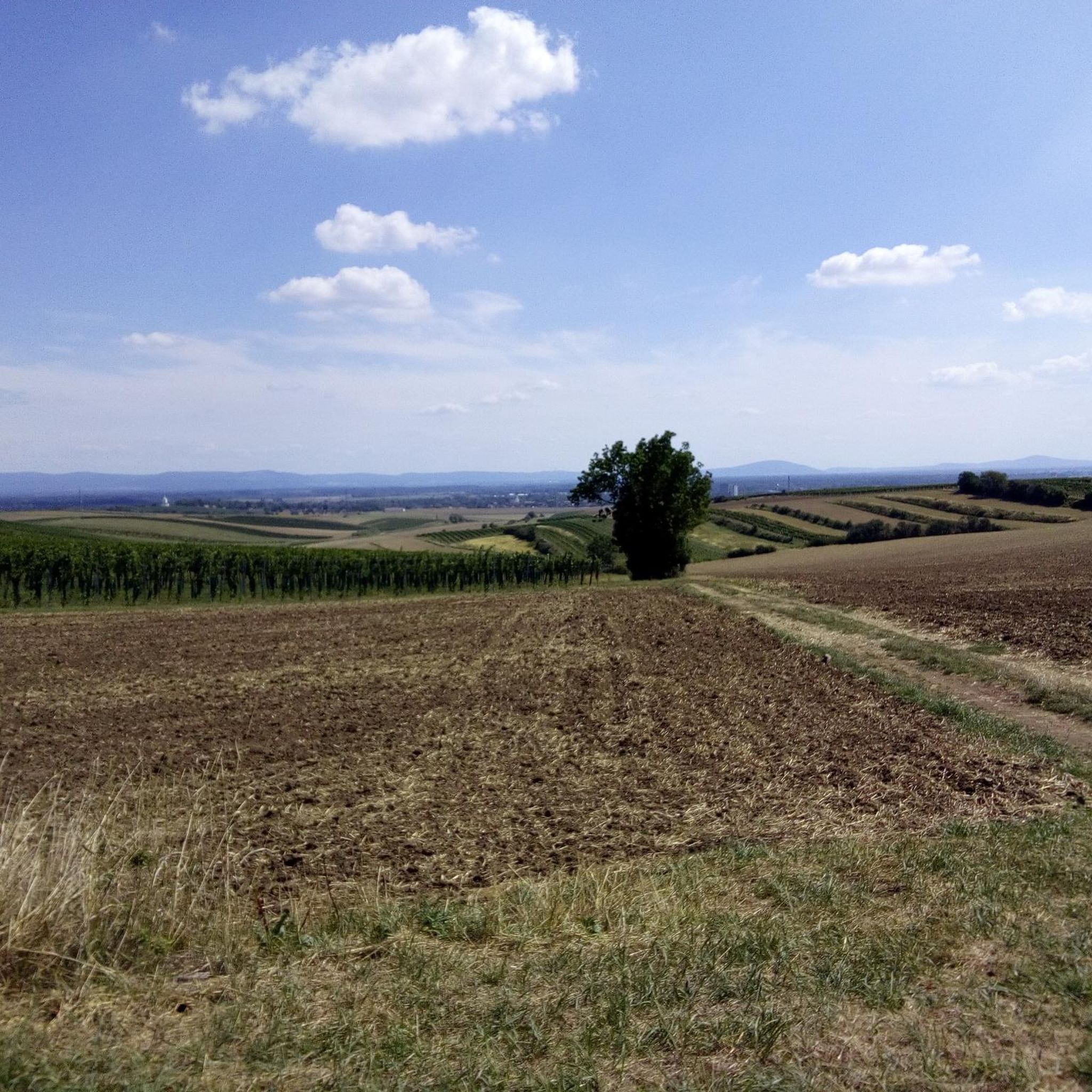
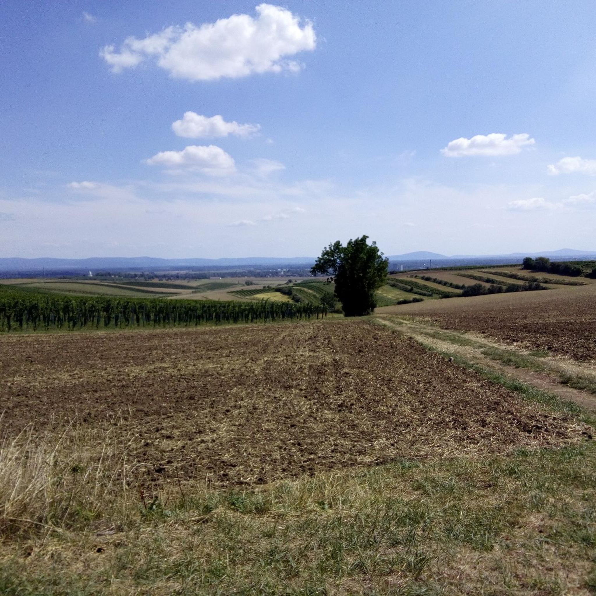
A typical Weinviertel church is slightly elevated, so you also have a view if you hike around a bit at the top.
2
0
Very interesting little chapel in the middle of the street!
0
0
Beautiful view of the Barbarakreuz from Kellergasse
1
0
Beautiful paths in the Matzner Forest
1
0


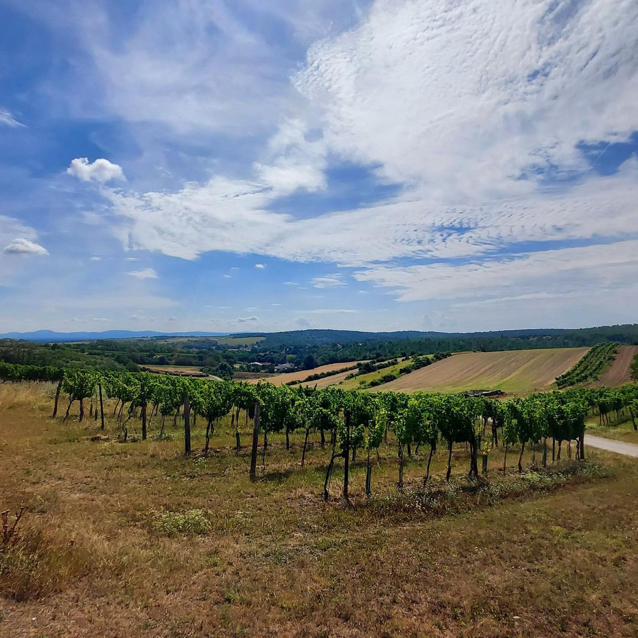
Unique view in the Weinviertel!
0
0
Frequently Asked Questions
How many hiking trails are available in Ebenthal?
Ebenthal offers a wide variety of hiking opportunities, with over 180 trails available for exploration. These range from easy strolls to more challenging routes, ensuring there's something for every fitness level.
Are there any easy or family-friendly hiking trails in Ebenthal?
Yes, Ebenthal has numerous easy trails suitable for families and beginners. For instance, the Parish Church of Ebenthal – Fieldside Wayside Shrine loop from Ebenthal is an easy 5.5 km path that takes about 1 hour 30 minutes to complete, offering gentle terrain and pleasant scenery.
Can I find circular hiking routes in Ebenthal?
Many of Ebenthal's trails are designed as circular routes, allowing you to start and end at the same point. A popular moderate option is the Parish Church of Ebenthal – Grub Village Chapel loop from Ebenthal, which covers 12.4 km and typically takes around 3 hours 20 minutes.
What natural attractions or landmarks can I see while hiking in Ebenthal?
Ebenthal is rich in natural beauty. You can discover the impressive 40-meter-high Ebenthal Waterfall, nestled between cliffs, which is considered a place of power. The unique Höflein Moor, a protected natural site, also offers insights into ancient vegetation. Additionally, you might encounter alluvial forests along the Glan and Gurk rivers, home to diverse wildlife like beavers.
Are there any castles or historical sites to explore near the hiking trails?
Yes, the region around Ebenthal features several historical sites. You can explore Ebenthal Castle itself, or venture to nearby Nexing Castle and Muschelberg, which are part of the local landscape and offer historical interest.
What do other hikers enjoy most about the trails in Ebenthal?
The komoot community highly rates the hiking experience in Ebenthal, with an average score of 4.5 stars from over 170 reviews. Hikers often praise the diverse natural landscapes, from the tranquil Höflein Moor to the refreshing Ebenthal Waterfall, and the well-maintained paths through forested areas and along rivers.
What is the best time of year to go hiking in Ebenthal?
Spring and autumn are generally considered the best seasons for hiking in Ebenthal. During these times, the landscape is vibrant with colorful flower meadows or autumn foliage, and the climate is mild. Summer hikes are also possible, but it's recommended to go during cooler morning or evening hours due to potential heat.
Are there any hiking routes that lead to viewpoints?
Yes, the region offers several spots with scenic views. The Pfarrstuhl, at 711 meters, is easily accessible via the Zwanzigerberg hiking route and provides an undisturbed panoramic view of Klagenfurt and the surrounding area.
Is public transport available to access hiking trails in Ebenthal?
Ebenthal is a market town southeast of Klagenfurt, and local public transport options connect it to the wider region. For specific routes and schedules to trailheads, it's advisable to check local bus services or regional transport information for connections from Klagenfurt.
Where can I park my car when hiking in Ebenthal?
Parking is generally available in and around Ebenthal, particularly near popular starting points for trails. Specific parking details can often be found on individual route descriptions or local tourist information boards. Many trails, like those starting from the Parish Church of Ebenthal, are accessible from central locations.
Are there any trails that lead through forests or along rivers?
Absolutely. Ebenthal is characterized by its natural features, including unspoilt alluvial forests along the Glan and Gurk rivers. The Parish Church of Ebenthal – Forest Shrine and Rest Area loop from Ebenthal, for example, leads through beautiful forested areas to a tranquil shrine.
Can I find a hike that includes a visit to a local chapel?
Yes, several routes incorporate local chapels and historical points of interest. The Rochus Chapel Wutzelburg – Grub Village Chapel loop from Katastralgemeinde Stillfried is a 10.4 km trail that leads through rural landscapes and past historic chapels, offering a blend of nature and culture.
Most popular routes around Ebenthal
Most popular attractions around Ebenthal

Get inspired with the komoot mobile app


Explore more
Browse the best Hikes in other regions.
