Attractions and Places To See around Richfield - Top 20
Attractions and places to see around Richfield, Minnesota, include a variety of natural and recreational sites. The area is characterized by its urban parks, lakes, and river systems, offering opportunities for outdoor activities within a metropolitan setting. Visitors can explore significant natural landmarks and extensive trail networks. This region provides accessible options for walking, cycling, and enjoying natural scenery.
Best attractions and places to see around Richfield
- The most popular attractions is Minnehaha Falls, a waterfall that offers sights…
Last updated: August 16, 2026
Confluence of the Mississippi and Minnesota Rivers
Highlight • River
Tip by

Minnehaha Falls
Highlight • Waterfall
Tip by

Sign up now to discover places like this
Get recommendations on the best single tracks, peaks, & plenty of other exciting outdoor places.
Sign up for free
Lake Nokomis
Highlight (Segment) • Lake
Tip by

Midtown Greenway
Highlight (Segment) • Cycleway
Tip by
Cedar Lake
Highlight • Lake
Tip by
Sign up for free to discover even more attractions around Richfield.
Sign up for free
Already have an account?
Start today with a free account
Your next adventure awaits.
Login or Signup

Tips from the Community

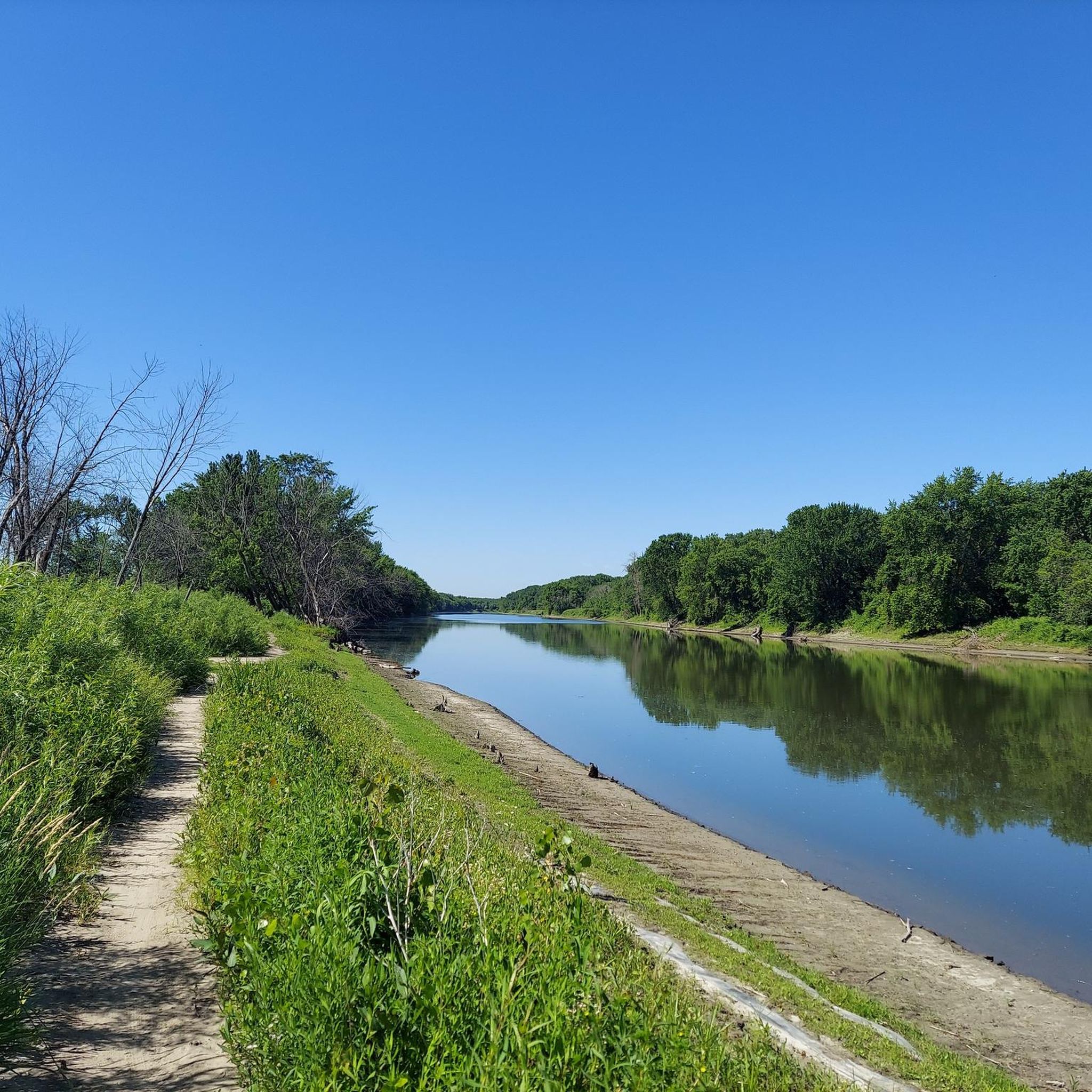
Nice river views from the bike path.
0
0

Here is a link to a Minnesota Department of Natural Resources map of summer trails at Fort Snelling State Park (https://files.dnr.state.mn.us/maps/state_parks/spk00154_summer.pdf). Although bicycles are allowed on many of the park trials, the legend on the map shows, sadly, that the circumferential trail on Pike Island is for hiking only.
0
0

at the tip of Pike Islands a very nice packed Earth bike route around this little Island
0
0

When waters run high, this 53-foot-tall waterfall turns into a thundering cataract. There are picnic tables up top, and a trail that takes you down to nice views of the falls from below. It's well worth parking your bike to spend some time here.
1
0

The Midtown Greenway, a 5.5-mile former railroad corridor in south Minneapolis, features dedicated biking and walking trails. Owned by the Hennepin County Regional Railroad Authority and maintained by the City of Minneapolis, the Greenway came to be from advocacy by the Midtown Greenway Coalition. The Midtown Greenway runs separated from the street, either in a gorge or on a levee, allowing for efficient, barrier-free riding. It connects west to paths around the Minneapolis Chain of Lakes and the Southwest LRT Trail, and east to paths along the Mississippi River. This path is accessible 24/7, with trails plowed in winter and well-lit at night.
0
0
The Lake Nokomis Trail in Minnesota is a 7.3-mile paved path that stretches from Minneapolis to Burnsville, connecting three communities: Minneapolis, Richfield, and Bloomington. This 10-foot-wide trail is popular for biking, walking, jogging, and inline skating, while also being wheelchair accessible. Along its route, the trail passes through parks, residential areas, and near popular attractions like the Mall of America and Minneapolis-St. Paul International Airport. It links to other regional trails, such as the Grand Rounds Scenic Byway and Minnesota River Greenway, with parking available at various points, including Taft Park and the Cedar Nichols Trailhead. Lake Nokomis spans 204 acres and is a true natural highlight of the trail.
0
0

Convenient route across town that avoids most road crossings.
0
0
At the tip of Pike Island in St. Paul Minnesota, the Mississippi and Minnesota Rivers join forces on their way to the Gulf of Mexico. If you look carefully, you can notice that the Mississippi River (on the north side of Pike Island) runs relatively clear, and the Minnesota River (on the south side of Pike Island) runs stained brown with runoff from agricultural fields to the west.
0
0
Frequently Asked Questions
What are the most popular natural attractions around Richfield?
The Richfield area, Minnesota, is known for its beautiful natural features. Among the most popular are Minnehaha Falls, a stunning 53-foot waterfall, and Lake Nokomis, which offers a 7.3-mile paved path for various activities. Another significant natural site is the Confluence of the Mississippi and Minnesota Rivers, where you can observe the distinct waters of these two major rivers joining.
Are there family-friendly attractions in Richfield?
Yes, several attractions around Richfield are great for families. Minnehaha Falls is a popular spot with picnic tables and a trail to view the falls from below. Lake Nokomis offers a wide paved path suitable for walking, biking, and inline skating for all ages. Cedar Lake also features three distinct beach areas, a picnic area, and a walking path, making it ideal for a family day out.
What kind of trails are available for cycling around Richfield?
Richfield offers an extensive network of trails perfect for cycling. The Midtown Greenway is a 5.5-mile dedicated biking and walking trail, separated from street traffic, connecting to other paths around the Minneapolis Chain of Lakes and the Mississippi River. The Lake Nokomis trail is a 7.3-mile paved path popular for biking. For more cycling options, you can explore various routes in the Cycling around Richfield guide, including easy loops like the Lake Harriet – Bde Maka Ska loop.
Are there any wheelchair-accessible attractions or trails?
Yes, accessibility is a key feature of some attractions. The Lake Nokomis trail is a 7.3-mile paved path that is wheelchair accessible. Additionally, the Midtown Greenway, a 5.5-mile former railroad corridor, is also designed to be accessible, with trails plowed in winter and well-lit at night.
Where can I go for an easy hike near Richfield?
For easy hikes, Richfield and its surroundings offer several options. You can find routes like the Wood Lake Nature Center loop or the Veterans Memorial Park loop, both within Richfield. The Easy hikes around Richfield guide provides more details on these and other accessible trails, including distances and difficulty grades.
What do visitors enjoy most about Minnehaha Falls?
Visitors particularly enjoy the breathtaking sights and sounds of Minnehaha Falls, especially after rainfall when the 53-foot waterfall is at its most powerful. There are picnic tables at the top, and a trail leads down to provide excellent views of the falls from below, making it a popular spot for spending some time outdoors.
Can I swim in any of the lakes around Richfield?
Yes, Cedar Lake is a great option for swimming. It boasts three distinct beach areas with direct access to the lake, making it a popular spot for cooling off during warmer months.
Are there any unique natural phenomena to observe?
Absolutely. At the Confluence of the Mississippi and Minnesota Rivers, located at the tip of Pike Island, you can observe a unique natural phenomenon. The Mississippi River (on the north side of Pike Island) runs relatively clear, while the Minnesota River (on the south side) often appears stained brown due to runoff from agricultural fields, creating a visible contrast where they meet.
What are the best options for road cycling around Richfield?
Road cyclists have several excellent routes around Richfield. Popular options include the Lake Harriet – Bde Maka Ska loop and the Mendota Bridge – Franklin Avenue Bridge loop. These routes offer varying distances and are generally considered easy. You can find more detailed information and additional routes in the Road Cycling Routes around Richfield guide.
What is the Midtown Greenway and what can I do there?
The Midtown Greenway is a 5.5-mile former railroad corridor in south Minneapolis, featuring dedicated biking and walking trails. It's separated from street traffic, allowing for efficient, barrier-free travel. You can use it for commuting, leisurely rides, or walks, and it connects to other major trail systems like the Minneapolis Chain of Lakes and paths along the Mississippi River. It's accessible 24/7, plowed in winter, and well-lit at night.
What amenities are available at Cedar Lake?
Cedar Lake offers a variety of amenities for visitors. These include three distinct beach areas for swimming, a cross-country ski trail for winter activities, a fishing pier, a picnic area with a grill, and a walking path that circles the lake. It's a versatile spot for recreation throughout the year.
Is there parking available at the main attractions?
While specific parking details for every attraction are not listed, popular spots like Minnehaha Falls are well-equipped for visitors, often with designated parking areas. For trails like the Lake Nokomis trail, parking is available at various points, including Taft Park and the Cedar Nichols Trailhead. It's generally advisable to check local signage upon arrival.
Most popular attractions around Richfield

Get inspired with the komoot mobile app


Explore more
Still not found the Highlight you’re looking for? See guides of the top attractions in other regions:
