The best road cycling routes around Wayzata
4.5
(29)
1,476
riders
126
rides
Road cycling around Wayzata offers diverse routes through a landscape shaped by Lake Minnetonka, woodlands, and open prairies. The region features well-maintained regional trails, including the Luce Line State Trail and the Dakota Rail Regional Trail, which provide varied surfaces from paved to crushed limestone. Cyclists can experience waterfront views, remnants of the "Big Woods," and expansive tall-grass prairies, with minimal significant elevation changes.
Best road cycling routes around Wayzata
- The most popular road cycling route is Cedar Lake –…
Last updated: October 2, 2026
5.0
(6)
87
riders
Easy road ride. Great for any fitness level. Mostly well-paved surfaces and easy to ride.
5.0
(3)
27
riders
39.8km
01:46
170m
170m
Moderate road ride. Great for any fitness level. Some segments of this route may be unpaved and difficult to ride.

14
riders
61.7km
02:35
350m
350m
Moderate road ride. Good fitness required. Mostly well-paved surfaces and easy to ride.
9
riders
58.1km
02:29
360m
360m
Moderate road ride. Good fitness required. Some segments of this route may be unpaved and difficult to ride.
7
riders
36.7km
01:40
180m
180m
Moderate road ride. Great for any fitness level. Some segments of this route may be unpaved and difficult to ride.
Get access to more routes and recommendations from other explorers.
Already have an account?
Our route recommendations are based on thousands of hikes, rides, and runs completed by other people on komoot.
Start today with a free account
Your next adventure awaits.

Tips from the Community


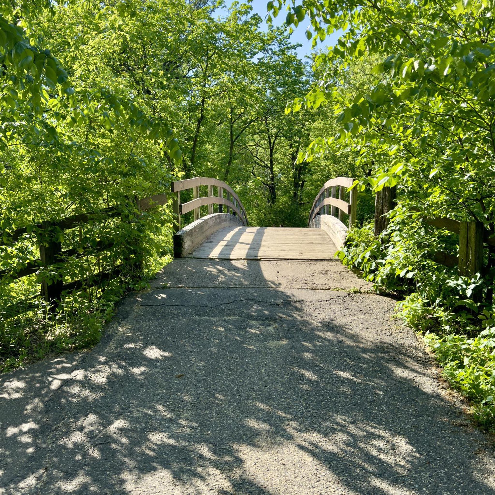
A short bridge that carries the Luce Line State Trail over Wayzata Boulevard.
0
0

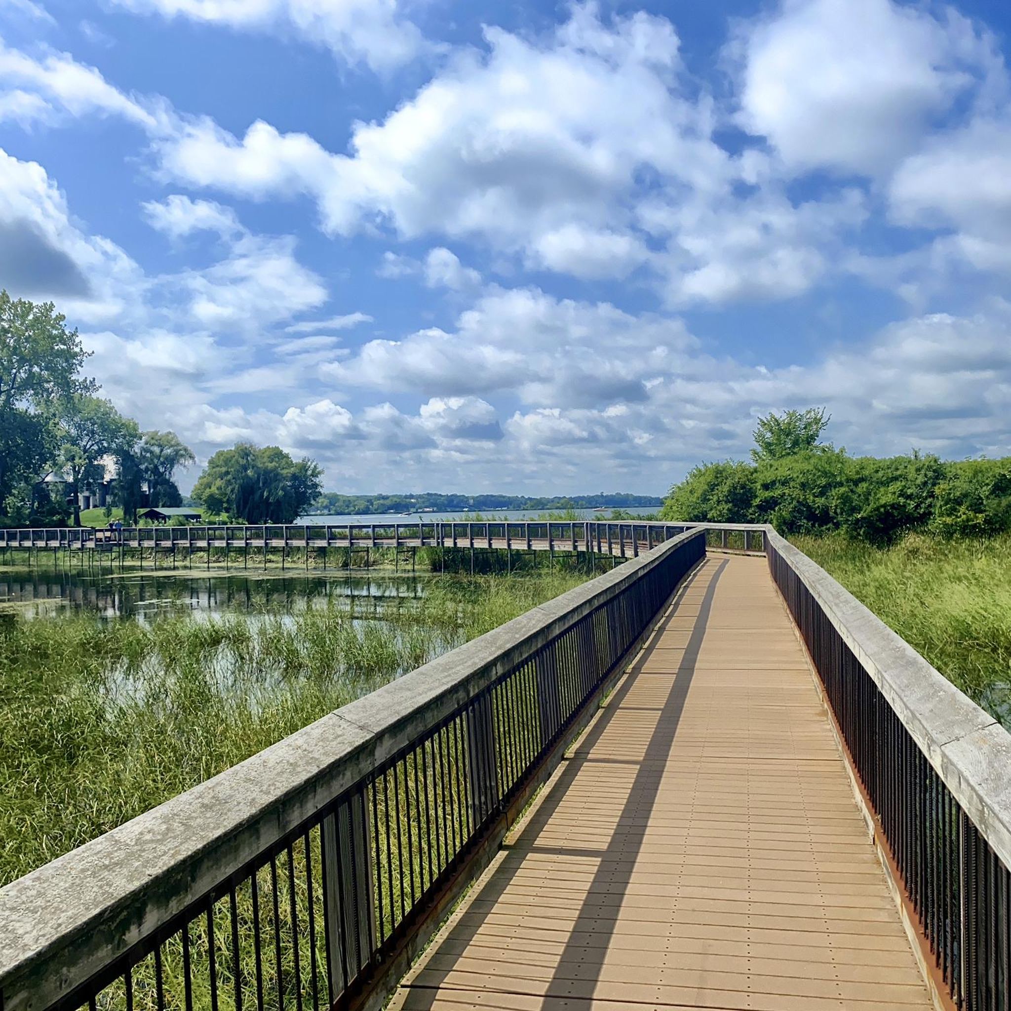
This short bridge on the Lake Minnetonka Regional Trail give you great views of Saint Albans Bay. It is purpose built for trail users and set apart from the road traffic bridge.
0
0

The Luce Line Regional Trail seamlessly connects the city to the Minnesota prairie for hikers and cyclists. Visitors cross wooded bridges with views of Bassett Creek marshlands and Medicine Lake, then pass through Plymouth and Golden Valley into Theodore Wirth Park. Enjoy great views of the Minneapolis skyline and access major trails like the Cedar Lake Trail and Midtown Greenway. West of Vicksburg Lane, the Luce Line State Trail extends more than 60 miles, transitioning from crushed limestone to pavement and natural paths. The Luce Line Regional Trail is open daily from 5:00 am to 10:00 pm.
0
0

The North Cedar Lake Regional Trail is a 4.4-mile paved trail that starts in Hopkins and passes through St. Louis Park to connect to other paved trails in Minneapolis.
0
0
The North Cedar Lake Regional Trail is a 4.4-mile paved trail that starts in Hopkins and passes through St. Louis Park to connect to other paved trails in Minneapolis.
0
0

Following the paved bike lane alongside Bushaway Road, in this lovely stretch, you can enjoy views on both sides of the path as it runs between these two bays of Lake Minnetonka. At one end, you will also cross the Gray's Bay Bridge.
0
0

Part of Theodore Wirth Park, The Trailhead is a hub for outdoor recreation in the community. Here, you'll find ski passes and all the essentials for your adventures in the park. There are lockers, a drinking fountain, restrooms, concessions, and equipment rentals.
0
0
Frequently Asked Questions
How many road cycling routes are available around Wayzata?
Wayzata offers a wide selection of road cycling routes, with over 130 options available. These routes cater to various skill levels, from easy rides to more challenging excursions.
What kind of terrain can I expect on Wayzata's road cycling routes?
Road cycling routes in Wayzata feature diverse terrain. You'll find well-maintained regional trails with varied surfaces, including paved sections and crushed limestone. The landscape transitions from dense woodlands, remnants of the 'Big Woods,' to open tall-grass prairies, especially along the Luce Line Trail. Many routes also offer picturesque waterfront views of Lake Minnetonka.
Are there easy road cycling routes for beginners in Wayzata?
Yes, Wayzata is very welcoming for beginners, with 59 easy road cycling routes. An excellent option is the Arcola Trestle Bridge – Dakota Rail Regional Trail loop from Carlson Pkwy, which is 15.7 miles long and leads through parklands and residential areas. Another easy route is the Arcola Trestle Bridge – Dakota Rail Regional Trail loop from 12 Av N, covering 33.3 miles.
Are there challenging road cycling routes for experienced riders in Wayzata?
While most routes are easy to moderate, there is at least one difficult road cycling route available for those seeking a greater challenge. The region's routes generally feature minimal significant elevation changes, but some longer loops can offer more extensive distances and varied conditions.
What natural features or attractions can I see along the road cycling routes?
Many routes offer stunning views of Lake Minnetonka. You can also pass by natural areas like Ferndale Marsh or cross notable structures such as the St. Albans Bay Bridge and the Arcola Trestle Bridge, which provides panoramic views of Crystal and Smith's Bays. The Luce Line State Trail also offers opportunities to spot wildlife like deer and owls.
Can I find circular road cycling routes in Wayzata?
Yes, Wayzata offers several circular road cycling routes. A notable option is the 'Lake Minnetonka Trail Loop,' which incorporates both the paved Dakota Rail Trail and the aggregate Lake Minnetonka LRT Regional Trail for a diverse experience. The Dakota Rail Regional Trail – Arcola Trestle Bridge loop from Wayzata is another popular circular route, offering extensive lake views.
Where can I park my car when starting a road cycling route in Wayzata?
Parking is conveniently available at several points. For routes along the Dakota Rail Regional Trail, you can find parking near the Wayzata post office or directly at the trailhead on Grove Lane. Wayzata Beach and Park also serve as excellent starting points with available amenities.
What is the best time of year for road cycling in Wayzata?
The warmer months, typically spring through fall, are ideal for road cycling in Wayzata. During this time, the weather is pleasant, and the trails are in optimal condition, allowing you to fully enjoy the lake views, woodlands, and prairies. Events like the 'Tour de Tonka' also take place during these seasons.
Are there any family-friendly road cycling routes in Wayzata?
Many of Wayzata's 59 easy routes are suitable for families. The paved sections of trails like the Dakota Rail Regional Trail, with its relatively flat profile and scenic lake views, are particularly good for family outings. Wayzata Beach and Park, often starting points for trails, also offer playgrounds and picnic areas for a complete family experience.
What do other cyclists enjoy most about road cycling in Wayzata?
The area is highly rated by the komoot community, with an average score of 4.4 stars from over 20 reviews. Cyclists often praise the well-maintained regional trails, the stunning waterfront views of Lake Minnetonka, and the diverse scenery that transitions from woodlands to prairies. The accessibility to charming downtown Wayzata for amenities is also a highlight.
Can I access road cycling trails in Wayzata using public transport?
While specific public transport connections directly to all trailheads might vary, Wayzata is part of the wider Minneapolis–Saint Paul metropolitan area. For detailed public transport information, it's advisable to check local transit schedules and routes, as access points to the regional trails may be reachable via bus services.
Are there amenities like coffee shops or restaurants near the road cycling routes?
Yes, downtown Wayzata is easily accessible from the Luce Line Trail via an elevated crossing and is less than half a mile from Lake Minnetonka's north shore. Here, you'll find a variety of retail services and lakeside restaurant opportunities, perfect for a break during your ride.
Most popular attractions around Wayzata

Get inspired with the komoot mobile app


Explore more
Browse the best Road cycling routes in other regions.
