The best road cycling routes around Medina
4.3
(49)
982
riders
94
rides
Road cycling routes around Medina often traverse converted rail trails and paths connecting regional parks. The landscape features a mix of open countryside, woodlands, and areas around lakes. These routes typically offer gentle gradients, making them accessible for various skill levels. The region's network of trails provides opportunities for both shorter rides and longer excursions through varied natural settings.
Best road cycling routes around Medina
- The most popular road cycling route is Dakota Rail Regional Trail – Arcola Trestle Bridge…
Last updated: July 15, 2026
19
riders
31.2km
01:22
110m
110m
The Boardwalk – Luce Line Regional Trail loop from St Philip Park & Ride offers a delightful road cycling experience, guiding you through a mix of suburban and natural settings.…
4.0
(1)
12
riders
33.7km
01:24
190m
190m
The Welcome to Loretto Sign loop from 19 Av N offers a pleasant escape into the Minnesota countryside, guiding you through rural roads and parklands. You'll enjoy a mix of…

Sign up for free
13
riders
32.9km
01:22
160m
160m
Easy road ride. Great for any fitness level. Mostly well-paved surfaces and easy to ride.
5.0
(1)
6
riders
66.8km
02:45
360m
360m
The County road 50 – Kasma Marsh loop offers a fantastic road cycling experience near Loretto, Minnesota, blending rural charm with significant natural features. You'll traverse open roads, parklands, and…
8
riders
30.3km
01:15
190m
190m
The Welcome to Loretto Sign loop from 28 Av N offers a delightful spin through the scenic rural roads of Loretto, Minnesota. You'll pedal past open countryside, serene parklands, and…
Get access to more routes and recommendations from other explorers.
Sign up for free
Already have an account?
Our route recommendations are based on thousands of hikes, rides, and runs completed by other people on komoot.
Start today with a free account
Your next adventure awaits.
Login or Signup
Tips from the Community

The Luce Line Regional Trail seamlessly connects the city to the Minnesota prairie for hikers and cyclists. Visitors cross wooded bridges with views of Bassett Creek marshlands and Medicine Lake, then pass through Plymouth and Golden Valley into Theodore Wirth Park. Enjoy great views of the Minneapolis skyline and access major trails like the Cedar Lake Trail and Midtown Greenway. West of Vicksburg Lane, the Luce Line State Trail extends more than 60 miles, transitioning from crushed limestone to pavement and natural paths. The Luce Line Regional Trail is open daily from 5:00 am to 10:00 pm.
0
0


Baker Park Reserve offers 2,700 acres of natural beauty on Lake Independence. Its amenities include a golf course, campground, playground, and paved biking/hiking paths.
0
0
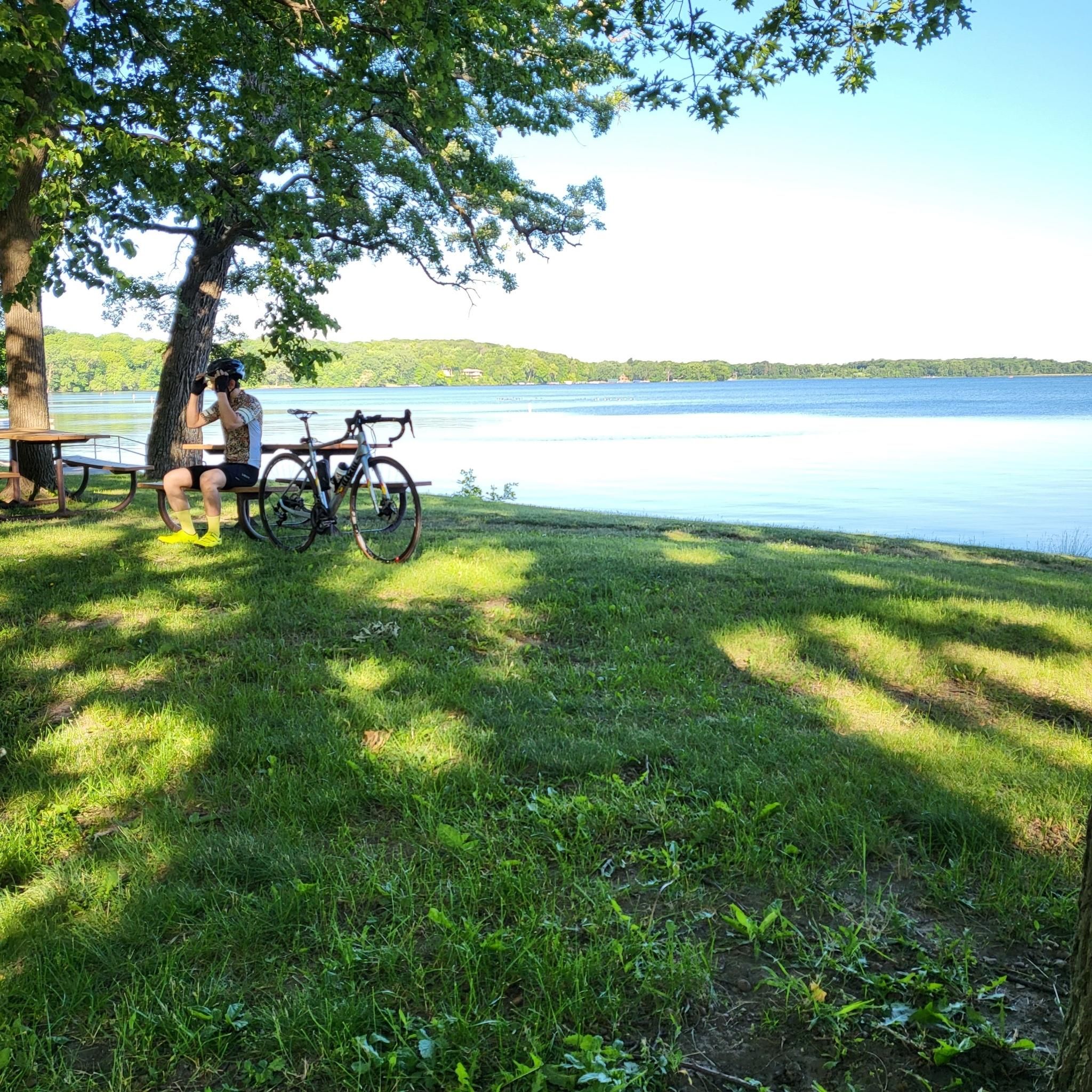
This trailhead sits at the junction of Medicine Lake Trail and the Luce Line Regional Trail along the banks of Medicine Lake. The trailhead offers parking, beachside amenities, restrooms, and drinking fountains.
0
0
The Dakota Rail Regional Trail stretches 28.1 miles from Wayzata to Lester Prairie, Minnesota, along the former Hutchinson Spur of the Great Northern Railway. This paved trail is popular with bikers, skaters, and hikers, offering a look at lakes, wetlands, woodlands, and farmlands. Starting in Wayzata, you can park at the trailhead on Grove Lane and grab a bite or fill up water downtown. The Carver County section extends an additional 12.5 miles west of St. Bonifacius to Mayer. Maps along the trail show your location, restrooms, and nearby services, with parking available at several locations.
0
0

There are many additional hiking trails in Baker Park Reserve on the north side of County Road 24.
0
0

This portion of the Dakota Rail Regional Trail near Minnetonka Beach offers scenic views along the shores of Lake Minnetonka. This section of the 29-mile paved trail is popular due to its proximity to the water; you get nearly continuous lake vistas and pass by buildings and attractions that reflect the area’s history as a 19th-century resort destination. The trail is open for walking, running, and cycling, with easy access to parking and facilities along its route.
0
1

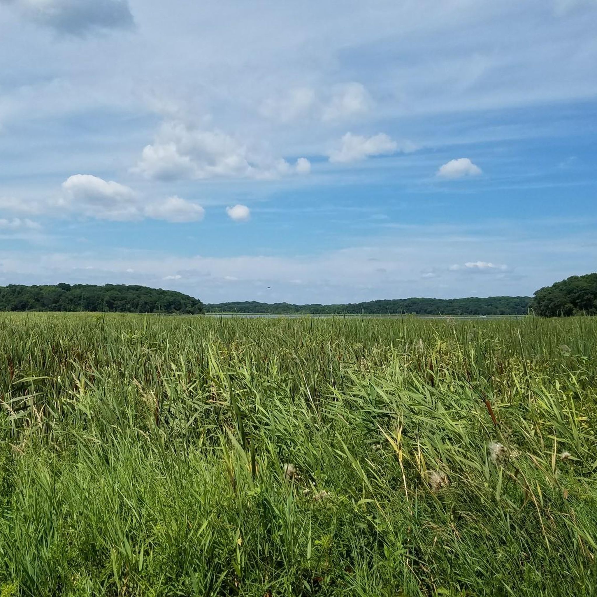
Kasma Marsh stands as the longest continuous Trumpeter Swan nesting site in the area. During the fall, you have the extraordinary opportunity to witness hundreds of these magnificent birds in this vicinity, creating a truly exceptional and memorable experience.
1
0
Frequently Asked Questions
How many road cycling routes are available in Medina?
Medina offers a wide selection of road cycling routes, with over 90 different tours available. These routes cater to various preferences, from shorter, easy rides to longer, more challenging excursions.
What is the general terrain like for road cycling in Medina?
Road cycling routes in Medina primarily follow converted rail trails and paths connecting regional parks. The landscape is diverse, featuring open countryside, woodlands, and areas around lakes. These routes generally have gentle gradients, making them accessible for various skill levels.
Are there road cycling routes suitable for beginners in Medina?
Yes, Medina has plenty of options for beginners. Approximately 41 of the available road cycling routes are classified as easy, offering gentle gradients and well-maintained paths perfect for those new to road cycling or looking for a relaxed ride. An example of an easy route is the Boardwalk – Luce Line Regional Trail loop from St Philip Park & Ride.
Are there any long-distance road cycling routes in Medina?
For cyclists looking for longer distances, Medina offers several options. The longest route available is the Dakota Rail Regional Trail – Arcola Trestle Bridge loop from Hennepin County, which spans nearly 40 miles (63.7 km).
What interesting landmarks or natural features can I see along the road cycling routes in Medina?
Many routes in Medina pass by scenic natural features and points of interest. You can encounter beautiful lakes like Libbs Lake, explore wetlands such as Ferndale Marsh, or cross the notable Arcola Trestle Bridge. The region's extensive park system also offers diverse environments to explore.
Are there circular road cycling routes in Medina?
Yes, many road cycling routes in Medina are designed as loops, allowing you to start and end at the same point. For instance, the Welcome to Loretto Sign loop from Kreatz Lake is a popular circular route that takes you through lakeside areas and open fields.
What do other cyclists say about road cycling in Medina?
The komoot community highly rates road cycling in Medina, with an average score of 4.5 stars from over 20 reviews. Cyclists often praise the well-maintained rail trails, the scenic views along lake-side paths, and the variety of routes suitable for different ability levels.
Are there any family-friendly road cycling routes in Medina?
Medina County is known for its family-friendly outdoor spaces. Many of the easy-rated routes, particularly those on paved or crushed limestone trails within the park system, are ideal for families. These trails often connect various parks, providing safe and enjoyable cycling experiences away from traffic. For more information on family-friendly parks and trails, you can visit visitmedinacounty.com.
What is the best time of year for road biking in Medina?
The spring, summer, and fall months generally offer the best conditions for road biking in Medina, Ohio, with pleasant temperatures and vibrant scenery. While some trails may be accessible in winter, conditions can vary with snow and ice, so it's always best to check local weather and trail reports.
Are there any advanced or difficult road cycling routes in Medina?
While Medina offers a good selection of easy and moderate road cycling routes, the guide data indicates there are no routes specifically classified as 'difficult'. The terrain generally features gentle gradients, making it more suitable for recreational and intermediate cyclists rather than those seeking extreme challenges.
Where can I find parking for road cycling routes in Medina?
Many of Medina's road cycling routes, especially those that utilize park trails or rail trails, offer designated parking areas at trailheads or within connecting parks. It's advisable to check the specific route details on komoot for information on recommended starting points and parking availability.
Are dogs allowed on road cycling trails in Medina?
Medina County parks generally welcome dogs on trails, provided they are leashed. However, specific regulations can vary by park and trail. It's always best to check the rules for the particular trail or park you plan to visit to ensure it is dog-friendly for cycling.
Most popular attractions around Medina

Get inspired with the komoot mobile app


Explore more
Browse the best Road cycling routes in other regions.
