The best walks and hikes around Ebersburg
4.7
(191)
771
hikers
107
hikes
Hiking around Ebersburg offers diverse landscapes within the Rhön Biosphere Reserve, characterized by volcanic origins, rolling hills, and basalt formations. The region features a network of trails that traverse dense forests, open hillsides, and unique wetlands. Notable physical features include the Wasserkuppe, the highest mountain in Hesse, and the distinctive Milseburg, a volcanic rock outcrop.
Best hiking trails around Ebersburg
- The most popular hiking route is Knight Adventure Tour Station 2 – View of Ebersburg Castle Ruins loop from Weyhers, a 5.3 miles (8.5 km) trail that takes about 2 hours 30 minutes to complete. This moderate route offers views of the historic Ebersburg Castle ruins.
- Another top favourite among local hikers is Giebelrain Cross and Viewpoint – View from Giebelrain loop from Weyhers, a moderate 4.9 miles (7.8 km) path. This trail features open views from the Giebelrain viewpoint and passes through varied terrain.
- Local hikers also love the View of the Wasserkuppe – View of Thalau loop from Ebersburg, a 2.5 miles (4.1 km) trail leading through gentle hills, often completed in about 1 hour 10 minutes. This easy route provides scenic vistas towards the Wasserkuppe.
- Hiking around Ebersburg is defined by volcanic hills, dense forests, and unique moorland areas like the Rotes Moor. The network offers options for various ability levels, from easy loops to more challenging ascents.
- The routes in Ebersburg are highly rated by the komoot community with an average score of 4.6 stars from nearly 200 reviews. More than 700 hikers have used komoot to explore Ebersburg's varied terrain.
Last updated: June 28, 2026
4.4
(21)
72
hikers
Moderate hike. Good fitness required. Easily-accessible paths. Suitable for all skill levels.
4.5
(14)
49
hikers
Moderate hike. Good fitness required. Easily-accessible paths. Suitable for all skill levels.

Sign up for free
4.9
(15)
45
hikers
26.6km
08:08
910m
910m
Hard hike. Very good fitness required. Mostly accessible paths. Sure-footedness required.
3.9
(7)
36
hikers
7.98km
02:17
190m
190m
Moderate hike. Good fitness required. Easily-accessible paths. Suitable for all skill levels.
4.6
(5)
21
hikers
4.05km
01:08
80m
80m
Easy hike. Great for any fitness level. Easily-accessible paths. Suitable for all skill levels.
Get access to more routes and recommendations from other explorers.
Sign up for free
Already have an account?
Our route recommendations are based on thousands of hikes, rides, and runs completed by other people on komoot.
Start today with a free account
Your next adventure awaits.
Login or Signup
Tips from the Community

At 950 meters, the Wasserkuppe is the highest mountain in Hesse and the symbol of the Rhön Mountains. Up here, you can feel the freedom, as the Wasserkuppe is considered the cradle of gliding – pilots have been taking to the skies here for over 100 years. But it's not just aviators who enjoy it: In summer, you can hike or cycle across vast plateaus with magnificent views, while in winter, ski lifts, cross-country ski trails, and toboggan runs beckon. Around the summit, you'll find the Aviation Memorial, the Gliding Museum, and numerous places to stop for refreshments. The Wasserkuppe is located in the heart of the Hessian Rhön Nature Park, which, with its open highlands, beech forests, and species-rich meadows, is a paradise for nature lovers. Here, you can explore the unique landscape on premium hiking trails like the Hochrhöner or on nature trails. The nature park also boasts star parks, rare animals like the red kite and the wildcat, and botanical treasures like gentian and orchids.
2
0

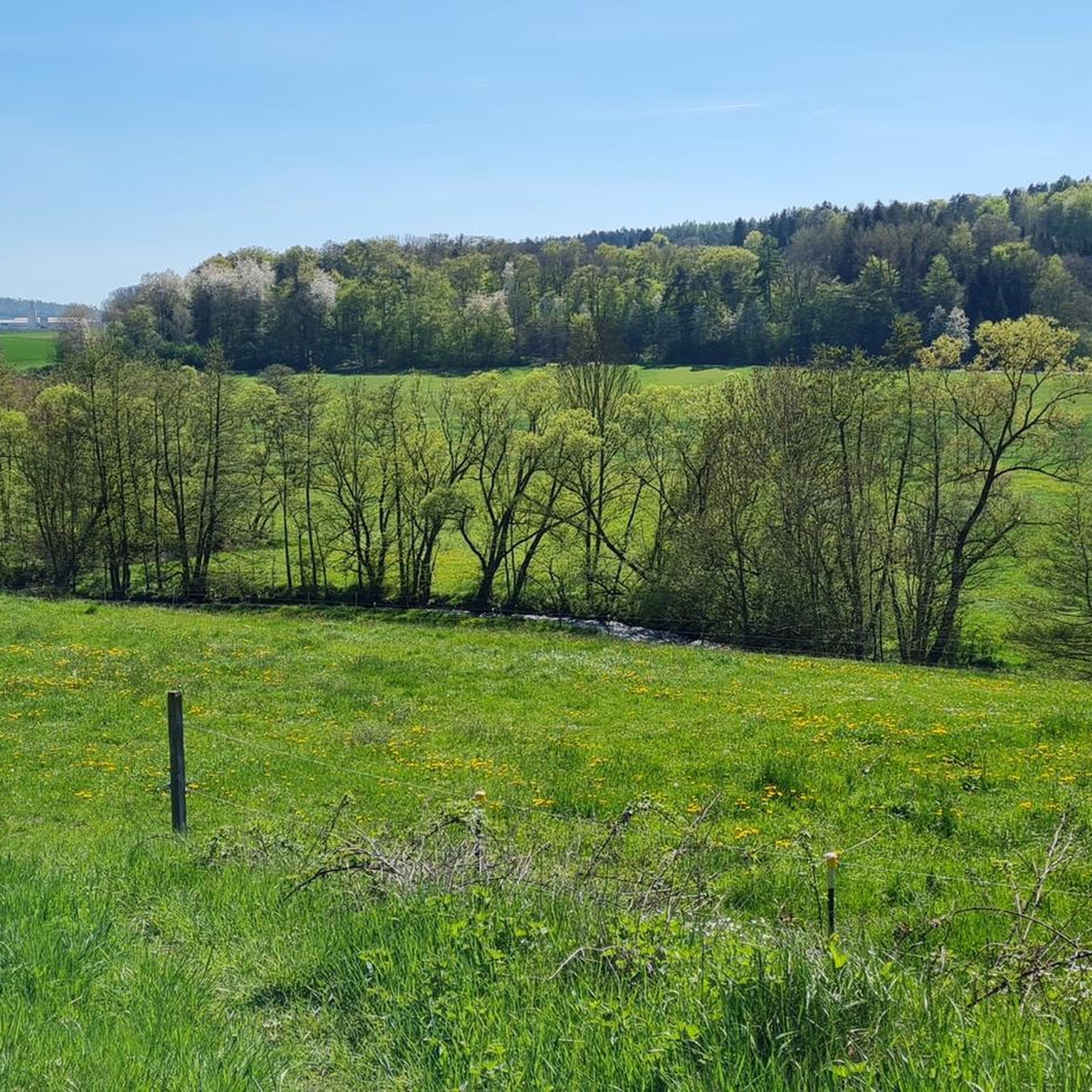
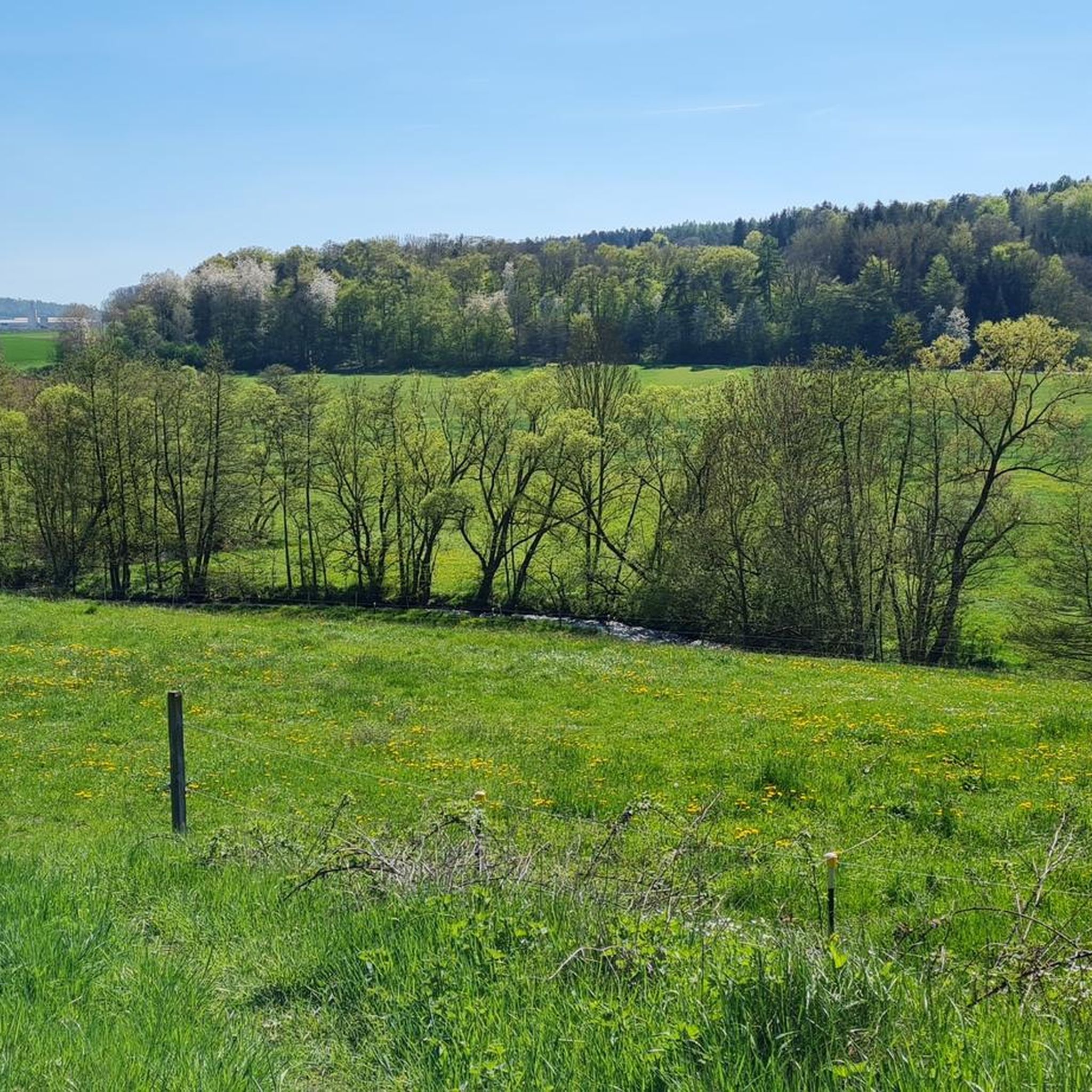
Natural and beautifully situated.
0
0

The Giebelrain ridge is 587 metres high. In places where the slopes are not wooded - especially at the summit cross - there is also a good view of the surrounding area. Numerous historical boundary stones can be seen along the south-eastern section of the ridge path. In the little more than 50 years between the Congress of Vienna in 1815 and the Austro-Prussian War in 1866, the border between the Kingdom of Bavaria and the Landgraviate / Titular Electorate of Hesse-Kassel ran here. These preserved boundary stones are evidence of this. In 1866, Hesse-Kassel was annexed by Prussia; the Prussian-Bavarian border was simultaneously moved further east to the heights of Heidelstein and Schwedenwall.
1
0

If you are here, be sure to take a little detour to the nearby source of the Haune.
1
0

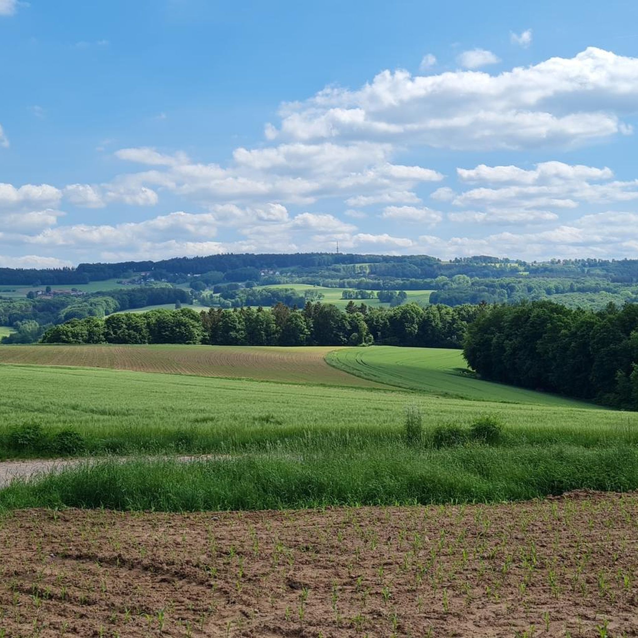
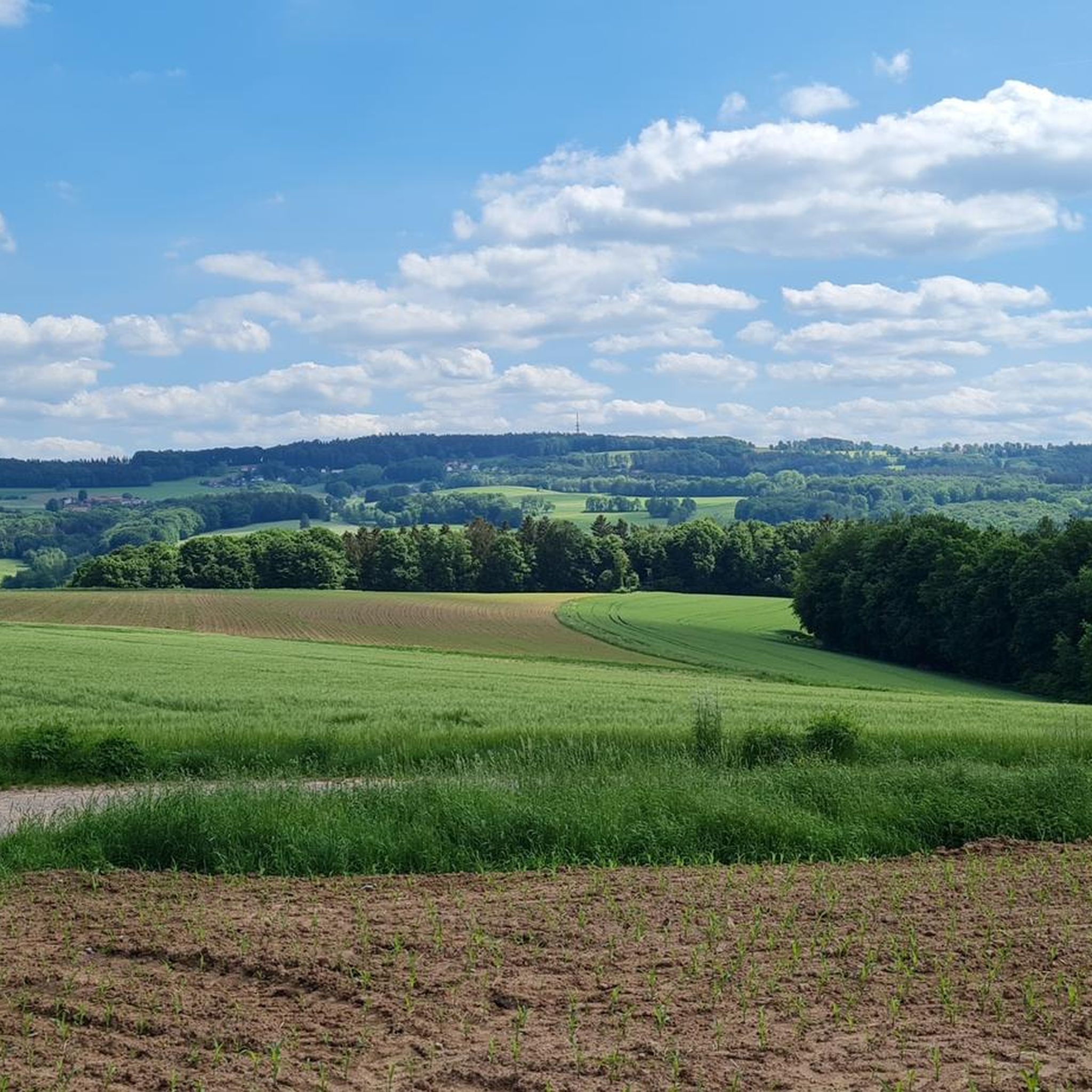
Nice view and a good place to take a break.
3
0

Rest area in the forest near the Ebersburg ascent
0
0
Information boards about the knights' life around the Ebersburg
0
0

The Pferdskopf is a striking basalt peak southwest of the Wasserkuppe, which can be climbed from two sides.
4
1
Frequently Asked Questions
How many hiking trails are available around Ebersburg?
Ebersburg, situated in the Rhön Biosphere Reserve, offers a vast network of trails. You'll find over 100 hiking routes in the immediate vicinity, catering to various fitness levels, from easy strolls to challenging ascents.
What kind of terrain can I expect on hikes in Ebersburg?
The terrain around Ebersburg is shaped by its volcanic origins, featuring rolling hills, unique basalt formations, and varied landscapes. You can expect to hike through dense forests, open hillsides with panoramic views, and even distinctive wetlands like the Rotes Moor.
Are there any easy hiking trails suitable for beginners or families?
Yes, Ebersburg has many easy trails. For a gentle walk with scenic views, consider the View of the Wasserkuppe – View of Thalau loop from Ebersburg. This easy 4.1 km route takes about 1 hour 10 minutes and offers vistas towards the Wasserkuppe.
Where can I find the best panoramic views in the Ebersburg area?
For breathtaking panoramic views, several spots stand out. The Wasserkuppe, as the highest mountain in Hesse, offers magnificent vistas. The Milseburg, known as the 'Pearl of the Rhön,' also provides far-reaching views. You can experience great open views on routes like the Giebelrain Cross and Viewpoint – View from Giebelrain loop from Weyhers.
Are there any historical landmarks or castles to explore while hiking?
Absolutely. The Ebersburg Castle Ruins are a prominent historical landmark. You can access one of its preserved towers for a great view of the Hessian Rhön. A popular route that includes these ruins is the Knight Adventure Tour Station 2 – View of Ebersburg Castle Ruins loop from Weyhers.
What unique natural features can I discover on hikes around Ebersburg?
The region boasts several unique natural features. The Rotes Moor Nature Reserve, a significant raised bog, offers a distinctive hiking experience with a boardwalk and observation tower. The Milseburg is notable for its impressive basalt formations, and the Wasserkuppe is where the Fulda River originates.
Are there any challenging long-distance hikes for experienced hikers?
Yes, for experienced hikers seeking a challenge, Ebersburg offers more demanding routes. A difficult option is the Wasserkuppe aviation memorial – View of the Wachtküppel loop from Weyhers, a 27 km trail with significant elevation gain, taking you past the Wachtküppel and towards the Wasserkuppe.
What do other hikers say about the trails in Ebersburg?
The trails in Ebersburg are highly regarded by the komoot community, with an average rating of 4.6 stars from nearly 200 reviews. Hikers often praise the diverse landscapes, well-marked paths, and the stunning views from various viewpoints.
Are there any circular walks available in the Ebersburg area?
Yes, many of the trails around Ebersburg are designed as circular routes, allowing you to start and end at the same point. This includes popular options like the Wacholder Hut Thalau – View of Oberstellberg loop from Thalau, which offers a moderate 8 km loop.
Can I find places to relax or swim after a hike?
Yes, the picturesque Guckaisee, nestled between mountains, is a popular spot for relaxation. It features a sunbathing area and offers opportunities for swimming in its lower lake, making it an ideal place to unwind after exploring the trails.
Are there any specific attractions near Ebersburg that are worth visiting?
Beyond the hiking trails, you can explore several attractions. The View of Bieberstein Castle and Fulda City Palace are notable castles in the wider area. For natural beauty, the Schwedenschanze offers scenic views and is often a point of interest on routes.
Most popular routes around Ebersburg
Most popular attractions around Ebersburg

Get inspired with the komoot mobile app


Explore more
Browse the best Hikes in other regions.
