The best walks and hikes around Ebershauser-Nattenhauser Wald
4.5
(747)
3,395
hikers
377
hikes
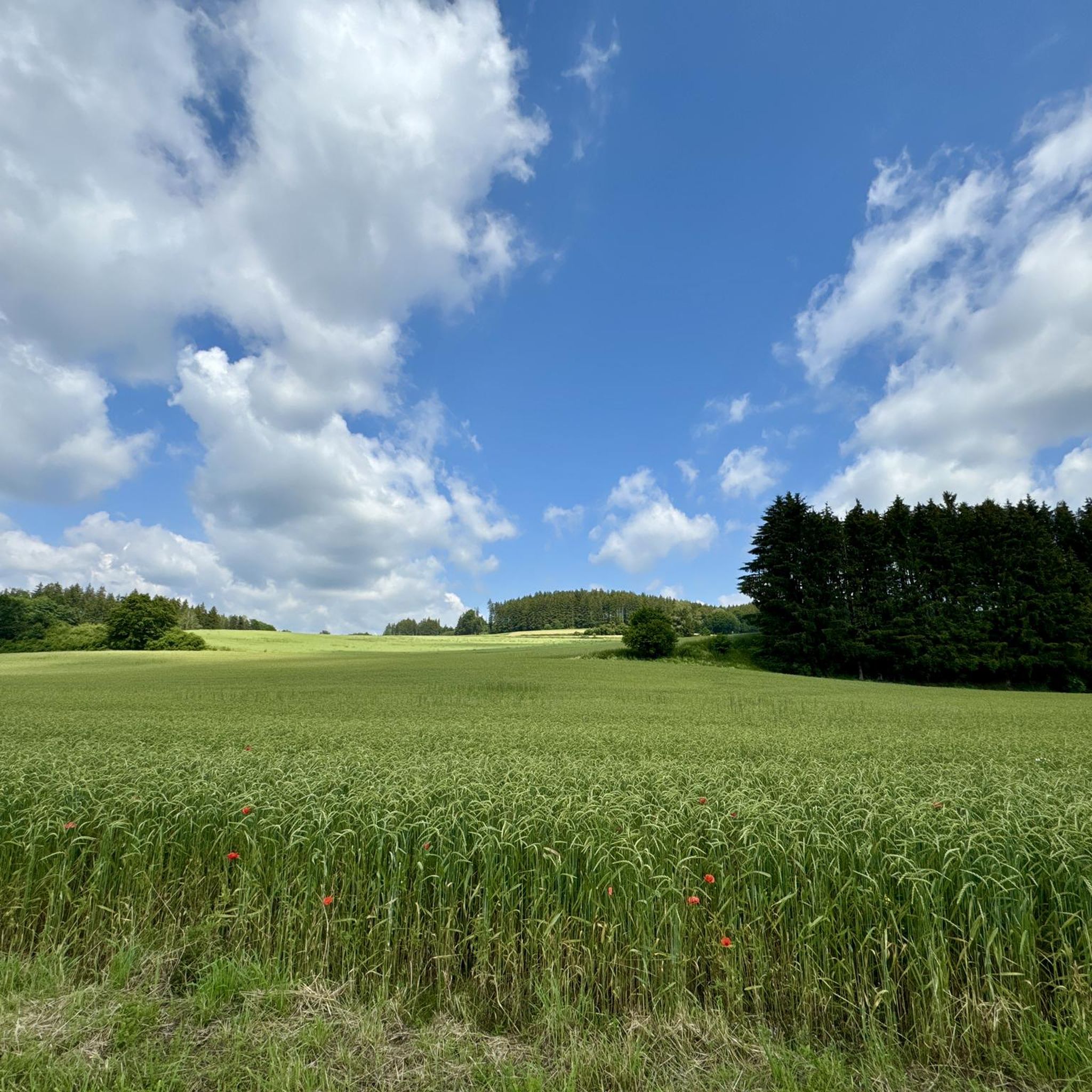
Hiking around Ebershauser-Nattenhauser Wald features a landscape characterized by dense woodlands and gentle terrain, typical of the Günzburg region. The area includes views of local lakes and the Günz Valley, offering varied scenery for hikers. Elevations are generally low, with routes traversing through forested areas and open spaces.
Best hiking trails around Ebershauser-Nattenhauser Wald
- The most popular hiking route is View of the Lake – View of the Lake loop from Ebershauser-Nattenhauser Wald, a 3.4 miles (5.4 km) trail…
Last updated: October 11, 2026
4.6
(5)
9
hikers
Easy hike. Great for any fitness level. Easily-accessible paths. Suitable for all skill levels.
4.3
(3)
3
hikers
7.23km
01:54
60m
60m
Easy hike. Great for any fitness level. Easily-accessible paths. Suitable for all skill levels.

2
hikers
5.80km
01:33
70m
60m
Easy hike. Great for any fitness level. Easily-accessible paths. Suitable for all skill levels.
3
hikers
9.83km
02:41
150m
150m
Moderate hike. Good fitness required. Easily-accessible paths. Suitable for all skill levels.
1
hikers
Easy hike. Great for any fitness level. Easily-accessible paths. Suitable for all skill levels.
Get access to more routes and recommendations from other explorers.
Already have an account?
Our route recommendations are based on thousands of hikes, rides, and runs completed by other people on komoot.
Start today with a free account
Your next adventure awaits.

Tips from the Community

Great Kneipp spot integrated into a stream, so fresh water is constantly flushed through. Some benches and large stones invite you to sit and linger.
0
0


small natural Kneipp facility, lots of fun
1
0

Being there to take a break is great
0
0

A Roman Catholic church in the diocese of Augsburg, attributed to master builder Joseph Dossenberger as his last work.
0
0

Nice swimming area at the Oberrieder Weiher
0
0

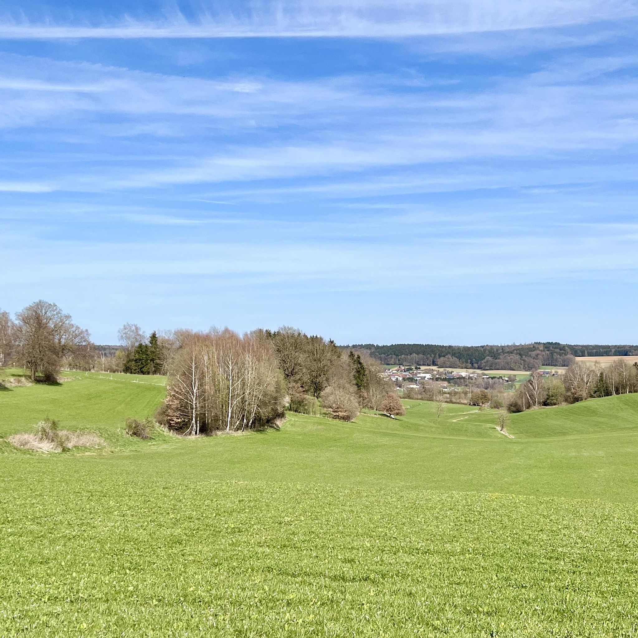
Unobstructed view of Breitenthal across the fields
0
0
Good view over the whole pond to the opposite bank with the sailing club.
2
0
Frequently Asked Questions
How many hiking trails are available in Ebershauser-Nattenhauser Wald?
The Ebershauser-Nattenhauser Wald area offers a wide selection of hiking opportunities, with over 360 routes recorded on komoot. This includes a diverse range of trails suitable for various preferences and fitness levels.
Are there many easy hiking trails in Ebershauser-Nattenhauser Wald?
Yes, the region is particularly well-suited for easy hikes. Over 220 of the available routes are classified as easy, making it an excellent destination for casual walkers, families, and beginners. An example is the View of the Lake – View of the Lake loop from Ebershauser-Nattenhauser Wald, which is 3.4 miles (5.4 km) long.
What are the typical trail lengths in Ebershauser-Nattenhauser Wald?
Trail lengths vary, but many popular routes are designed for shorter excursions. For instance, the View of the Günz Valley loop from Gemarkung Krumbach is about 3.6 miles (5.8 km), while the View of the Lake loop from Ebershausen extends to 4.5 miles (7.2 km). There are also longer options for those seeking more challenging distances.
Are there family-friendly hiking options in Ebershauser-Nattenhauser Wald?
Absolutely. The gentle terrain and numerous easy trails make Ebershauser-Nattenhauser Wald ideal for families. Many routes are relatively short and feature minimal elevation gain, providing a pleasant experience for all ages. The paths often lead through woodlands and past lakes, offering engaging scenery for children.
Can I bring my dog on the hiking trails in Ebershauser-Nattenhauser Wald?
Yes, Ebershauser-Nattenhauser Wald is generally dog-friendly. The extensive network of forest paths and open areas provides ample space for dogs to enjoy. However, it's always advisable to keep dogs on a leash, especially near wildlife or in agricultural areas, and to respect local regulations.
What is the best season to hike in Ebershauser-Nattenhauser Wald?
The Ebershauser-Nattenhauser Wald is enjoyable throughout the year. Spring brings lush greenery and blooming flora, while summer offers pleasant forest shade. Autumn transforms the woodlands with vibrant colors, and even winter can be beautiful for a crisp walk, especially on the well-maintained paths. The low elevation means trails are generally accessible in most conditions.
Are there circular walks available in Ebershauser-Nattenhauser Wald?
Yes, many of the trails in Ebershauser-Nattenhauser Wald are designed as circular routes, allowing you to start and end at the same point. Examples include the View of the Lake – View of the Lake loop from Ebershauser-Nattenhauser Wald and the Viewpoint loop from Gemarkung Hairenbuch, which offer convenient exploration of the area.
What kind of views can I expect on the trails?
Hikers in Ebershauser-Nattenhauser Wald can expect scenic views primarily of local lakes and the picturesque Günz Valley. The trails often wind through dense woodlands, occasionally opening up to provide glimpses of the surrounding natural landscape and agricultural fields, characteristic of the Günzburg region.
What do other hikers enjoy most about hiking in Ebershauser-Nattenhauser Wald?
The area is highly rated by the komoot community, with an average score of 4.6 stars from over 600 reviews. Reviewers often praise the tranquil woodlands, the well-maintained paths, and the peaceful atmosphere, making it a perfect escape for nature lovers.
Are there any moderate or difficult hiking trails for experienced hikers?
While the region is known for its easy trails, there are also options for more experienced hikers. Approximately 140 routes are classified as moderate, offering longer distances or slightly more varied terrain. There are also a few difficult trails for those seeking a greater challenge, though these are less common.
Is public transport available to access the hiking trails?
While specific public transport connections directly to every trailhead might be limited, the Ebershauser-Nattenhauser Wald region is generally accessible via regional bus services that connect to nearby towns like Krumbach. From these towns, some trailheads may be within walking distance or a short taxi ride.
Where can I find parking for the hiking trails?
Parking is typically available at the start points of many popular trails, particularly near villages and recreational areas surrounding the Ebershauser-Nattenhauser Wald. Look for designated parking lots in towns like Ebershausen or near local attractions, which often serve as convenient access points for hikers.
Most popular routes around Ebershauser-Nattenhauser Wald

Get inspired with the komoot mobile app


Explore more
Browse the best Hikes in other regions.
