The best MTB trails around St. Peters
5.0
(5)
128
riders
12
rides
Mountain biking around St. Peters offers a variety of terrain, characterized by its proximity to the Missouri River and its associated floodplains, as well as areas of woodland and gentle hills. The region provides a mix of paved trails and natural surface paths, suitable for different mountain biking styles. These routes often follow river corridors or wind through local parks, providing accessible outdoor experiences.
Best mountain bike trails around St. Peters
- The most popular mountain bike trail is Bootlegger's Run…
Last updated: October 11, 2026
39
riders
7.20km
00:37
70m
70m
The Bootlegger's Run Trail in Creve Coeur Park offers a delightful mountain biking experience, winding around the scenic Creve Coeur Lake. You'll navigate hard-packed dirt, enjoy banked turns, and encounter…
5.0
(1)
11
riders
17.2km
01:06
50m
50m
Easy mountain bike ride. Great for any fitness level. Suitable for all skill levels.

5.0
(1)
11
riders
Easy mountain bike ride. Great for any fitness level. Suitable for all skill levels.
5.0
(1)
8
riders
34.5km
02:11
190m
190m
Moderate mountain bike ride. Good fitness required. Suitable for all skill levels.
9
riders
70.2km
05:08
600m
600m
Hard mountain bike ride. Very good fitness required. Advanced riding skills necessary. Some portions of the route may require you to push your bike.
Get access to more routes and recommendations from other explorers.
Already have an account?
Our route recommendations are based on thousands of hikes, rides, and runs completed by other people on komoot.
Start today with a free account
Your next adventure awaits.

Tips from the Community

Maybe the toughest single section of trail. There are two really excellent natural features to contend with and worth repeat attempts. Numerous lines. Careful of low siding if you stumble, could be very dangerous. S3
0
0
Back to ride it in December 2025, all those trees were removed so it’s a lot more fun now. Most people seemed to ride the loop counter clockwise with the long gravel climb at the beginning. Clockwise was harder I think.
0
0
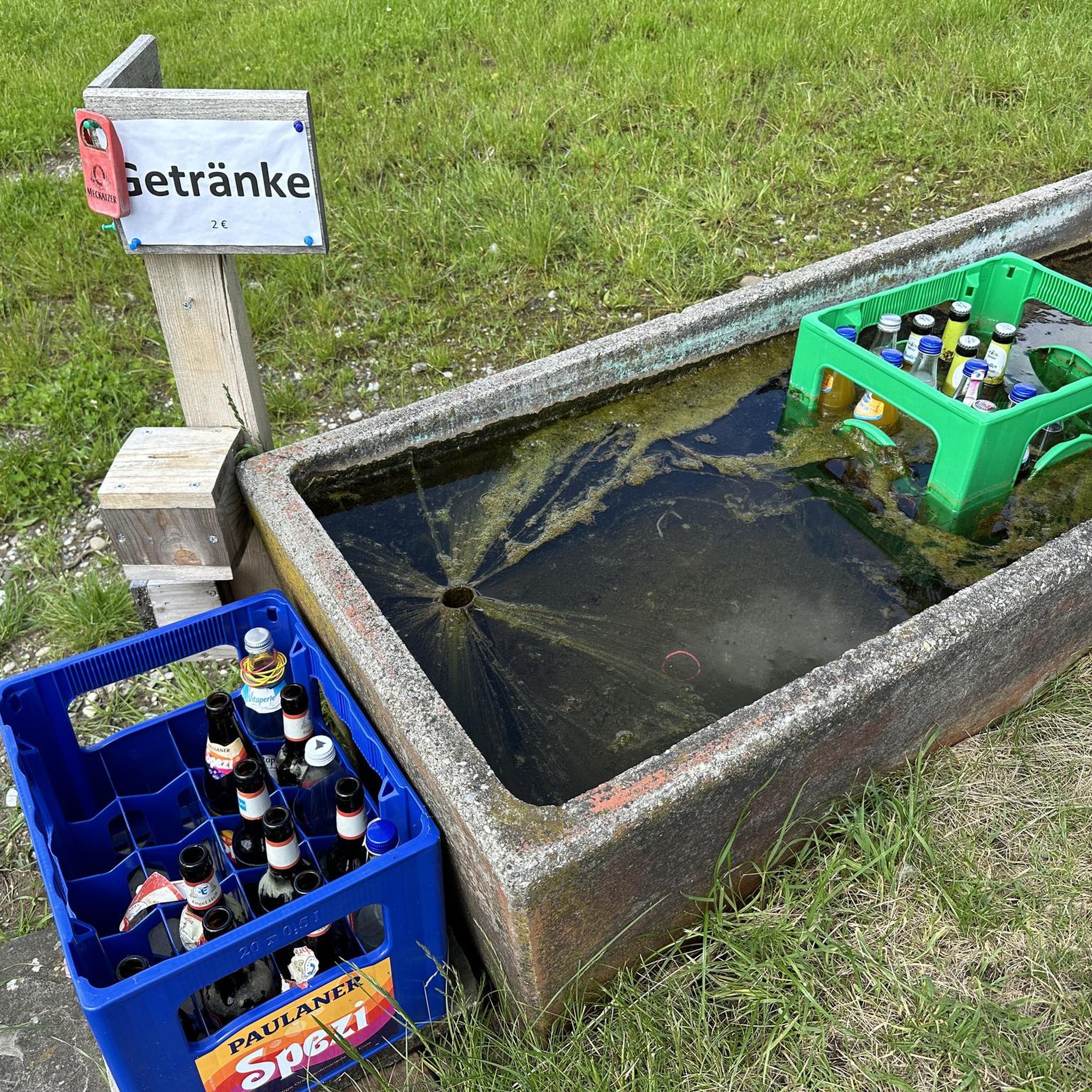
Bike repair stand, all the necessary tools and a working air pump. Bathroom and shelter too. No water.
0
0
This is what I was looking for. Narrow singletrack that runs along the terrain. Often off camber with lots of gravel sized rocks mixed in with clay and organic soils. The surface has great grip even when it’s damp. When the organic percentage rises it gives more and slips under climbing loads. The climbs aren’t too steep and there was always enough roots and rocks to keep you interested. Many stream crossings at the draws that were well prepared. Even the switchback were awesome with native stones packed in the clay to give you confidence you won’t wash out a wheel. Awesome. Be aware as of 2 May 2025 between the 5.5 and 7 mile markers there were many trees crossing the trail knocked over from a terrific wind or 🌪️. This is the area closest to the Army site.
0
0

The Hamburg Trail connects the Katy Trail with the August A. Busch Memorial Conservation Area. It's a vital 6-mile trail that connects to both the Mound and Lost Valley areas.
0
0

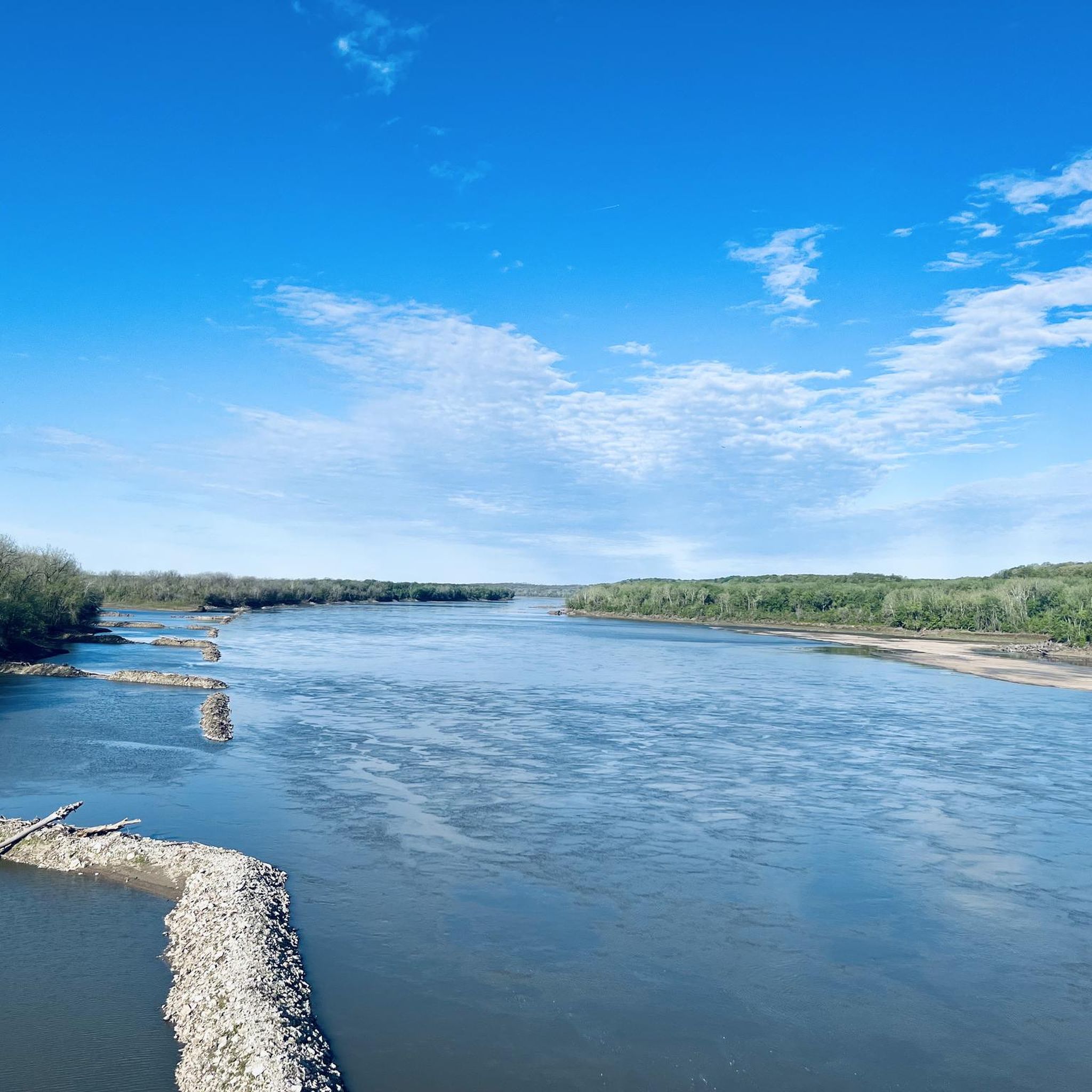
This trail runs alongside the Missouri River, providing a relaxing ride with the soothing sounds of the water. The trail is well-maintained dirt with ample tree coverage, offering pleasant shade along the way.
1
0

Scenic lake park with many great amenities and sites including the namesake lake and Dripping Springs waterfall The primary MTB trail called Bootleggers Run is a fun, well maintained trail with tight turns and nice berms that provides for a fun fast ride.
0
0
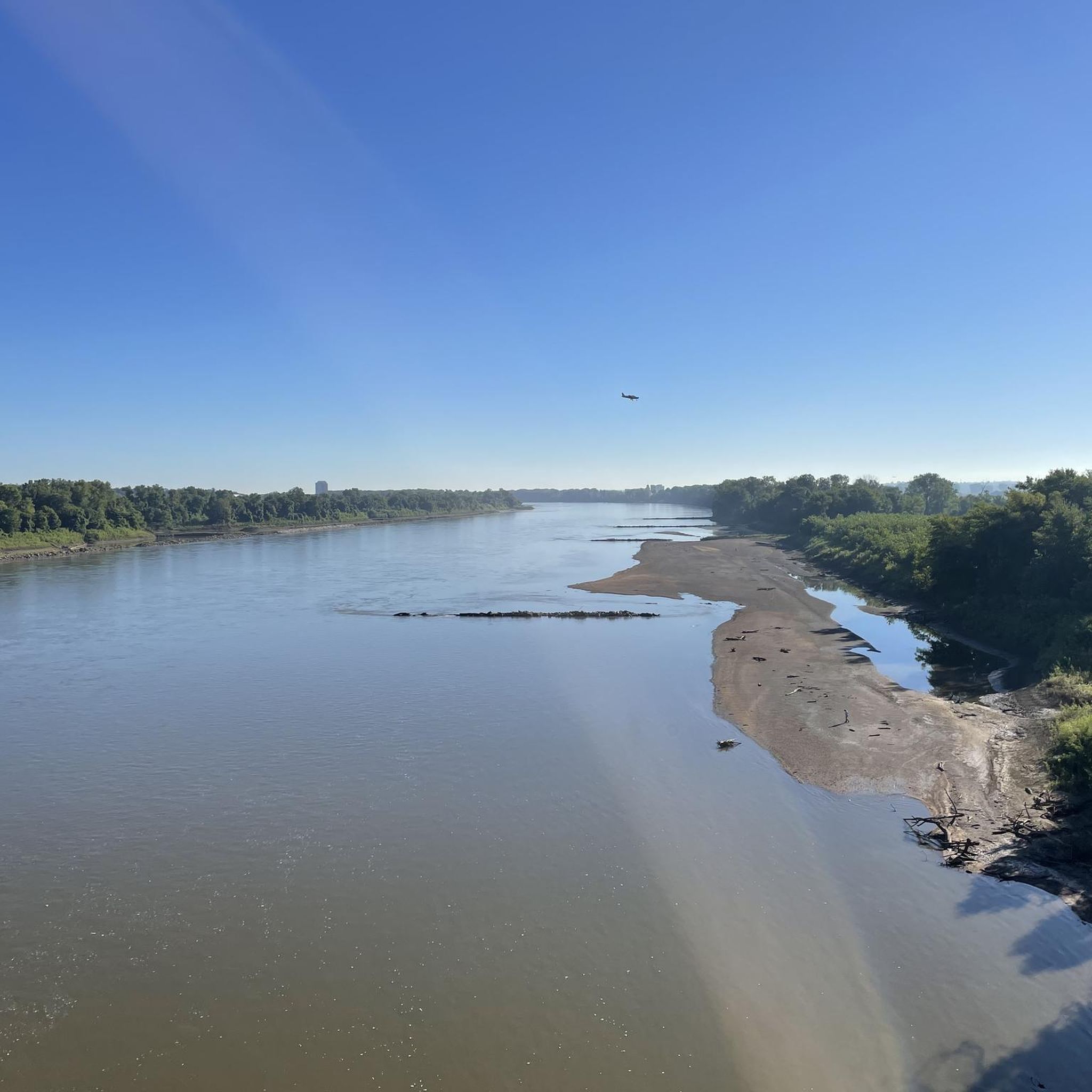
This section of the Katy Trail extends from Greens Bottom Road to Missouri Research Trail. Here, you'll discover a shady, compact gravel road with views of the Missouri River.
0
0
Frequently Asked Questions
How many mountain bike trails are there around St. Peters?
There are 9 mountain bike trails available around St. Peters. These routes offer a mix of easy, moderate, and difficult options to suit various skill levels.
What do other mountain bikers say about the trails in St. Peters?
The mountain bike trails around St. Peters are highly rated by the komoot community, with an average score of 5.0 stars from 4 reviews. Over 100 mountain bikers have used komoot to explore the varied terrain, often praising the accessible riverfront paths and wooded singletrack.
Are there easy mountain bike trails suitable for beginners or families in St. Peters?
Yes, St. Peters offers 2 easy mountain bike trails perfect for beginners or family outings. A great option is the Historic Downtown St. Charles – Frontier Park loop from Saint Charles, which is 7.6 miles (12.3 km) long and takes about 48 minutes to complete, leading through riverfront parks.
Where can I find challenging mountain bike routes around St. Peters?
For experienced riders seeking a challenge, there are 2 difficult mountain bike routes in the area. Consider the Katy Trail – Katy Trail loop from Weldon Spring Heights, a demanding 33.2 miles (53.5 km) path with significant elevation changes.
Are there any loop mountain bike trails in St. Peters?
Yes, many of the mountain bike trails around St. Peters are loops, offering convenient starting and ending points. For example, the Katy Trail – Weldon Station loop from Chesterfield Airport at Valley Center is a moderate 24.4 miles (39.3 km) loop that takes around 2 hours and 20 minutes.
What is the best time of year for mountain biking in St. Peters?
The best time for mountain biking in St. Peters is generally during spring and fall when temperatures are mild and the foliage is vibrant. Summer can be enjoyable, but be prepared for higher humidity. Winter riding is possible, but trails may be affected by freezing temperatures or snow, so checking local conditions is advisable.
What kind of terrain can I expect on mountain bike trails in St. Peters?
Mountain biking around St. Peters features a diverse landscape, including riverfront paths along the Missouri River, wooded singletrack, and gentle rolling hills. You'll find a mix of paved sections and natural surface trails, providing varied riding experiences.
What can I see along the mountain bike trails around St. Peters?
Many trails offer scenic views and pass by interesting landmarks. You might encounter the Missouri River Overlook, ride through Frontier Park, or cycle along sections of the historic Katy Trail. Lakes like Mallard Lake are also accessible near some routes.
Are there any lakes or water features near the mountain bike trails?
Yes, the St. Peters area features several lakes and water bodies. You can find trails near Mallard Lake, and the 370 Lakeside Park also offers recreational opportunities. The Missouri River itself is a prominent feature, with many trails running alongside it.
Are there any hidden gem mountain bike trails in St. Peters?
While the intro highlights popular routes, exploring trails like the Katy Trail – Weldon Station loop from Chesterfield Airport at Valley Center can offer a rewarding experience away from the busiest spots, providing a blend of natural beauty and historical context.
What is the average length of mountain bike trails in St. Peters?
The mountain bike trails around St. Peters vary significantly in length. You can find shorter routes like the 7.6-mile (12.3 km) Historic Downtown St. Charles – Frontier Park loop from Saint Charles, up to longer, more challenging rides such as the 33.2-mile (53.5 km) Katy Trail – Katy Trail loop from Weldon Spring Heights.
Most popular attractions around St. Peters

Get inspired with the komoot mobile app


Explore more
Browse the best MTB trails in other regions.
