The 20 Most Amazing Peaks around Bad Boll
Best mountain peaks around Bad Boll are situated at the foot of the Swabian Alb, an area known for its scenic hiking opportunities and elevated viewpoints. The region features a variety of trails that lead to significant ascents and panoramic vistas. These elevated areas and trails offer diverse features, from panoramic views of the Swabian Alb to immersive natural experiences through forests and gorges. The area provides rewarding experiences for visitors seeking natural beauty and outdoor activity.
Best mountain peaks…
Last updated: July 6, 2026
Breitenstein Viewpoint
Highlight • Viewpoint
Translated by Google •
Tip by

Haarberg summit cross
Highlight • Viewpoint
Translated by Google •
Tip by

Sign up now to discover places like this
Get recommendations on the best single tracks, peaks, & plenty of other exciting outdoor places.
Sign up for free
View of Teck Castle from Auchert
Highlight • Viewpoint
Translated by Google •
Tip by

Summit Cross at Eckfelsen
Highlight • Summit
Translated by Google •
Tip by

Limburg Viewpoint
Highlight • Viewpoint
Translated by Google •
Tip by

Sign up for free to discover even more peaks around Bad Boll.
Sign up for free
Already have an account?
Start today with a free account
Your next adventure awaits.
Login or Signup
Popular around Bad Boll
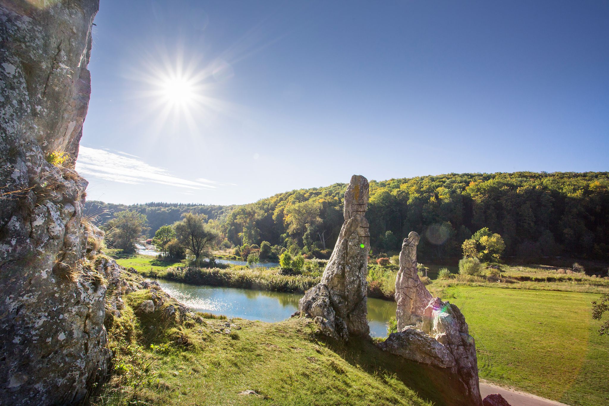
Picturesque valleys on Germany’s Württemberg Valley Cycle Path
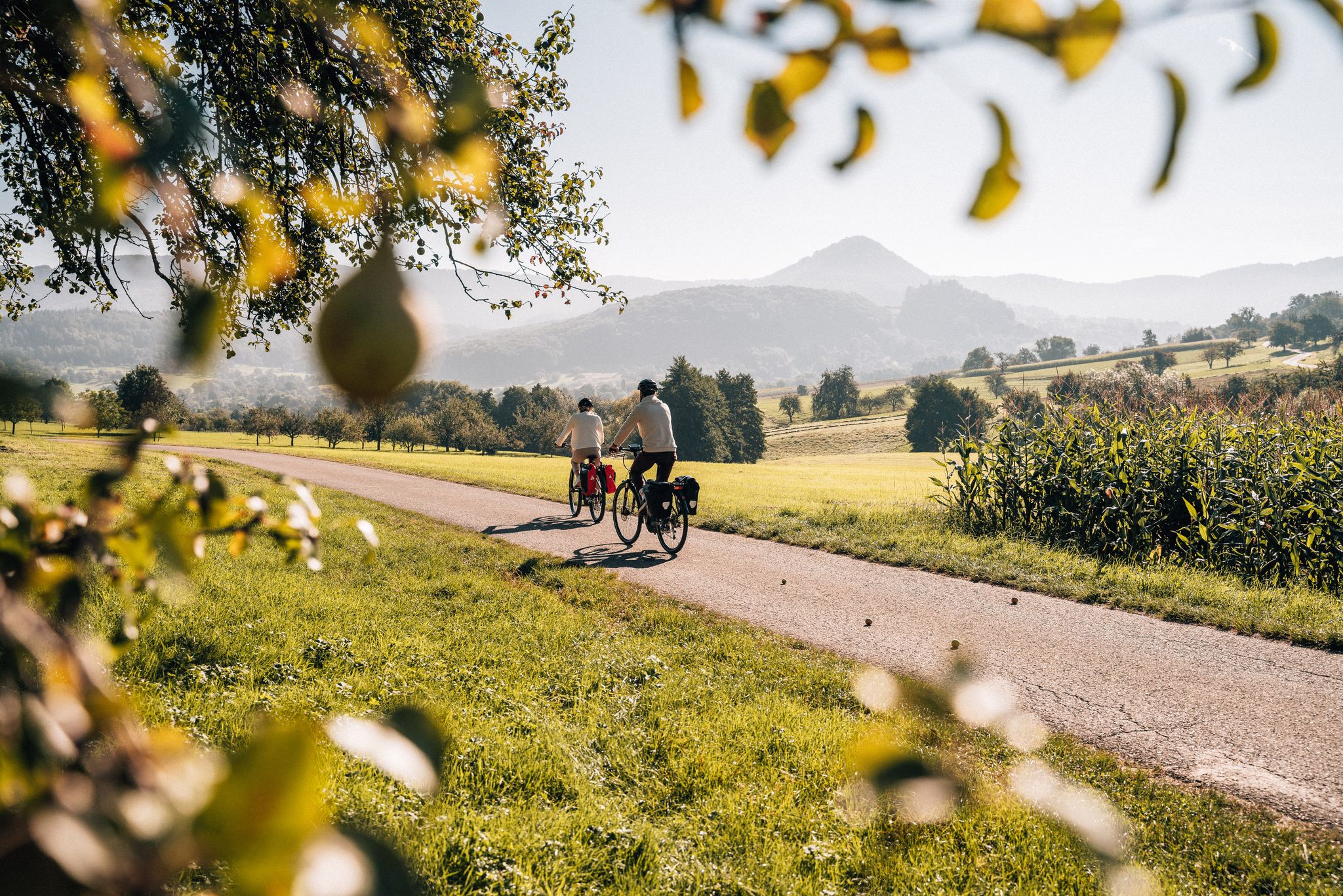
Cycle the Swabian Alb Cycle Path to Lake Constance
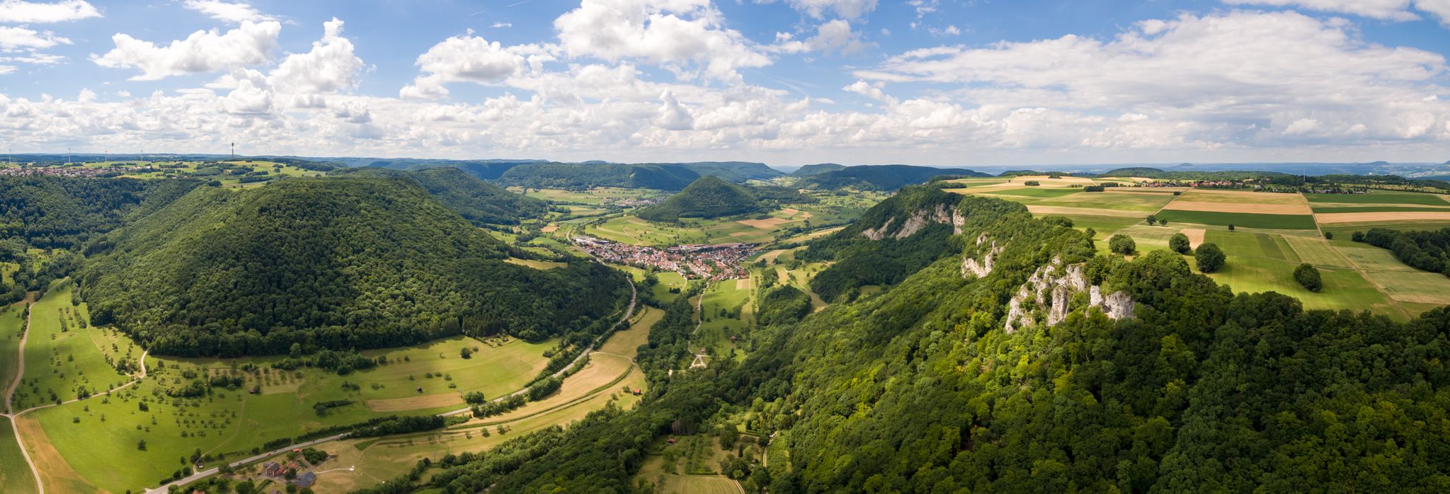
A view over the Swabian Alb – bike Tours around Göppingen
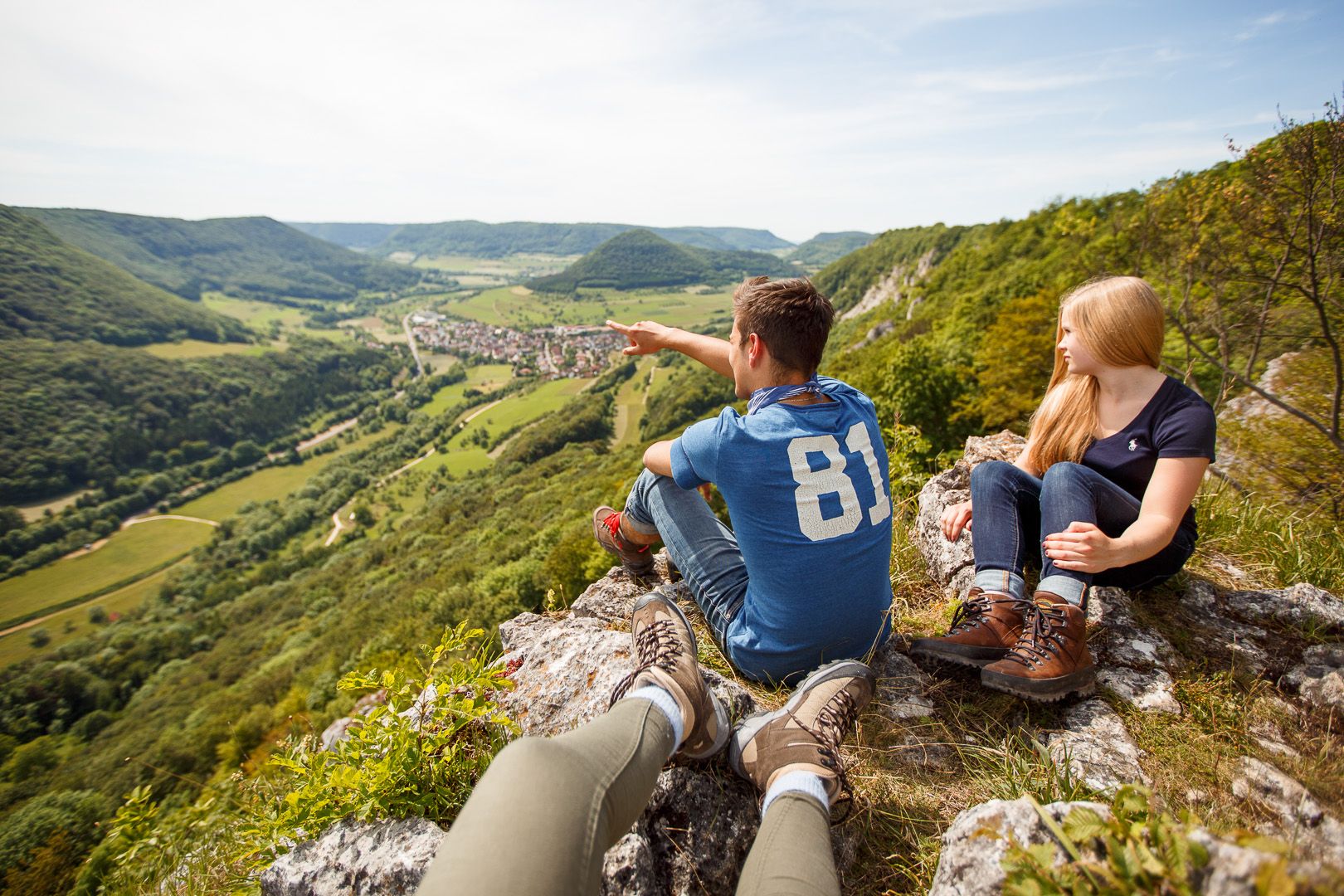
Lion Trails in the Swabian Alb – 16 Tours around Göppingen
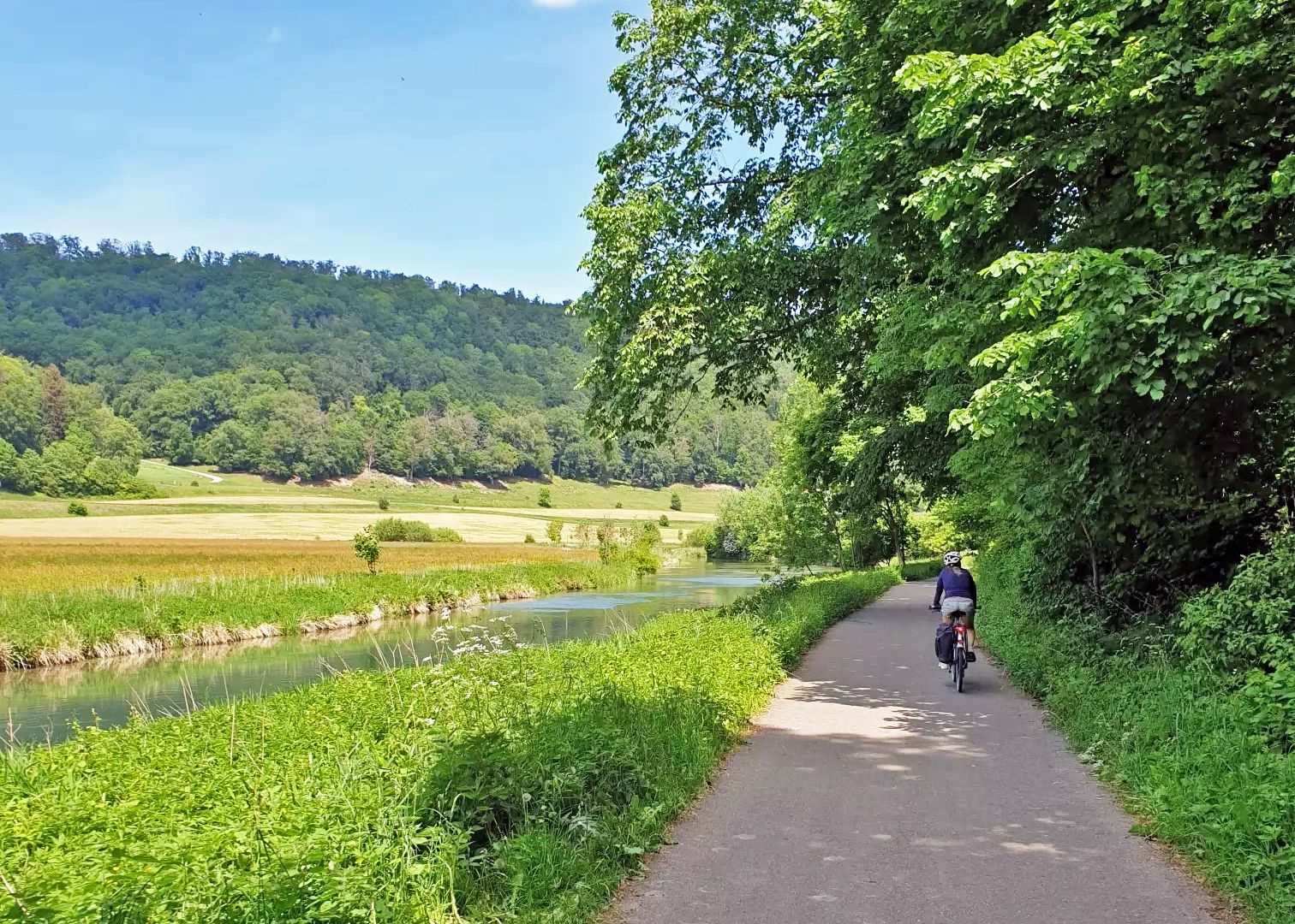
Between the Danube and Neckar – By bike from Ulm to Heilbronn
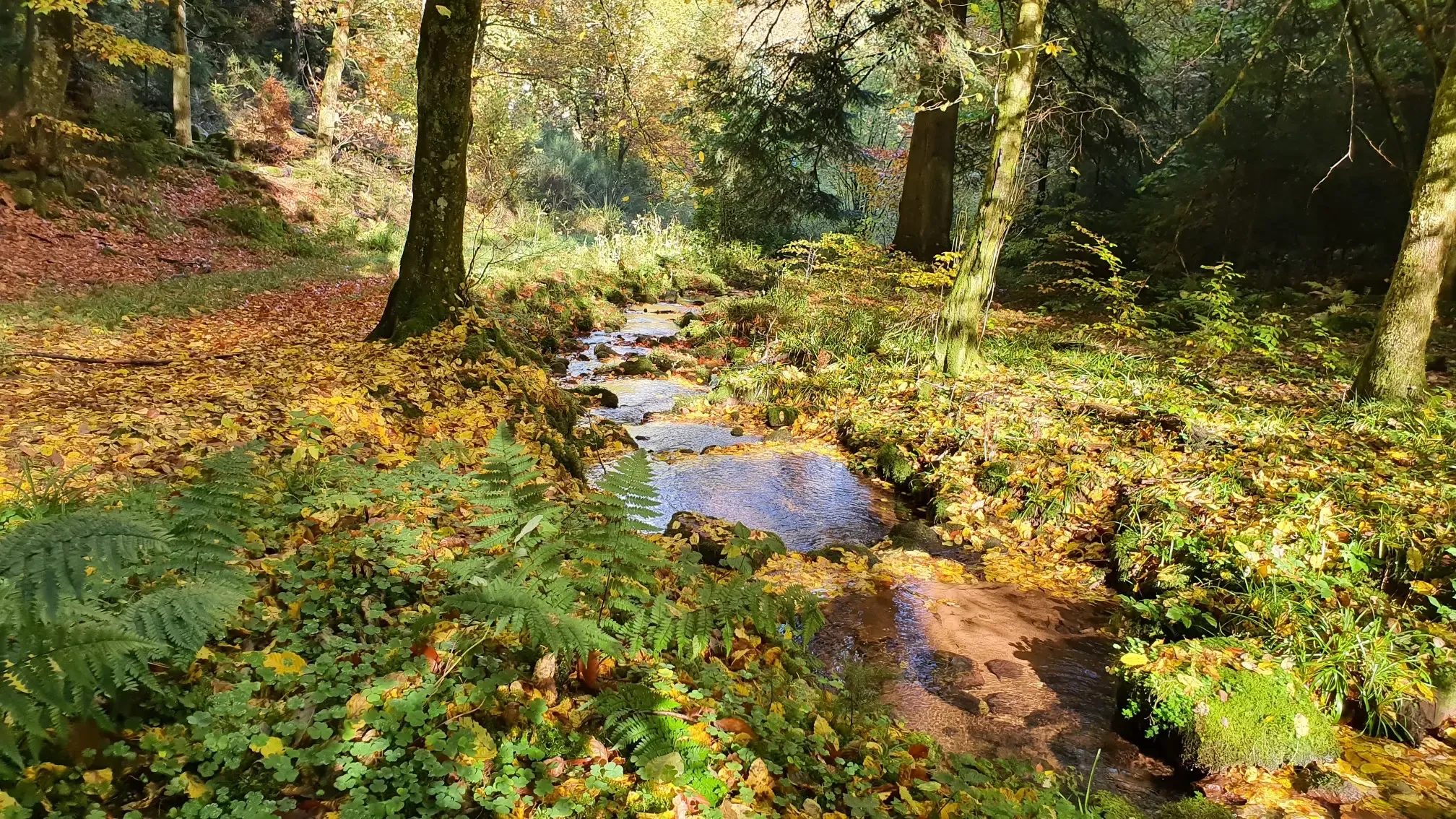
Wandern und warmes Wasser – Rundwege zu den Thermen Baden-Württembergs
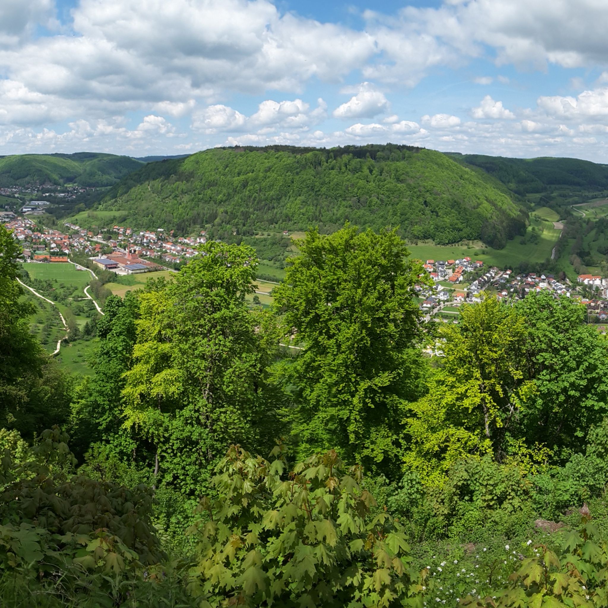
Hiking around Bad Boll
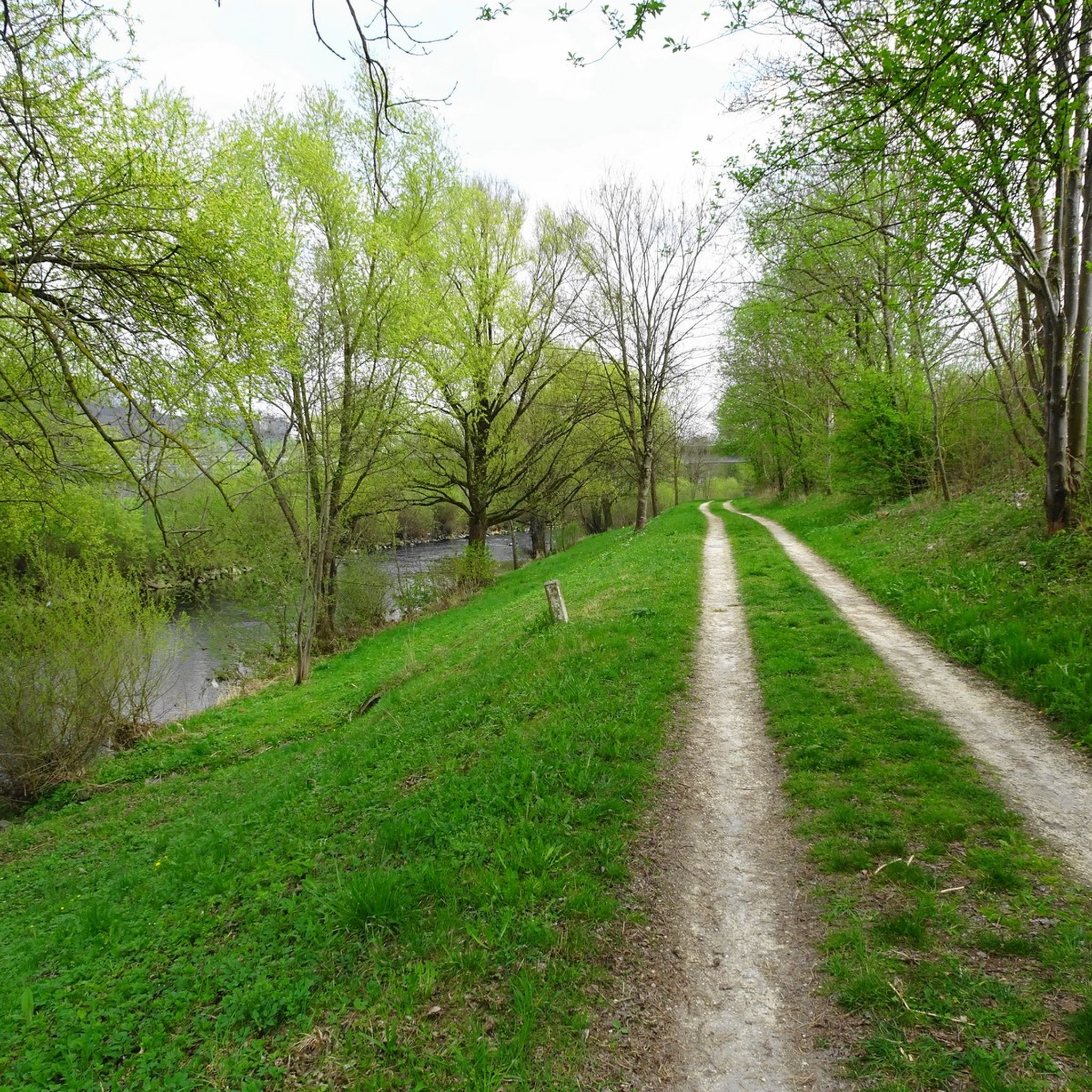
Cycling around Bad Boll
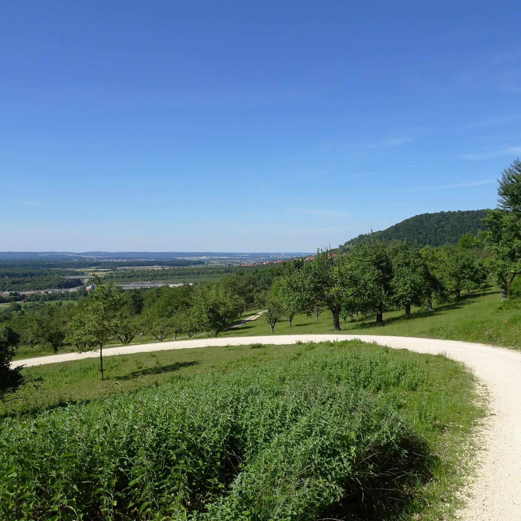
MTB Trails around Bad Boll
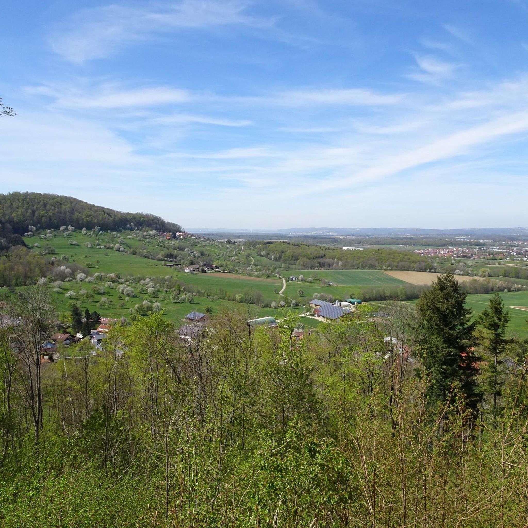
Road Cycling Routes around Bad Boll
Other adventures around Bad Boll


Tips from the Community

Good place to rest after a steep climb.
6
0
You will pass the summit cross if you take the Orchid Trail or the Wasserberg Trail. Very nice view of the valley.
7
0

Great view of Reichenbach im Täle and the Wiesental.
5
0


"Each of these crosses can tell its own story and what motivated people to erect "their" cross at this spot. (...) These wayside crosses were erected as visible signs and attract the attention of many people. The cross is a symbol of life. It stands as a sign of our Christian hope and aims to direct our gaze to Jesus Christ, who has overcome death (...). The cross is a part of our lives, just as it was a part of the life of Jesus. Therefore, I hope that many people... will seek out the wayside crosses, whether as places of silence and respite before God, or as places of community gathering, prayer, and praise." (Source: Dean Rainald M. Ollig in: "Wayside Crosses. Small Sacred Monuments as Signs of Popular Piety")
8
1
Frequently Asked Questions
What are some of the most popular viewpoints around Bad Boll?
Visitors frequently enjoy the Breitenstein Viewpoint, a natural monument offering grand views, especially at sunrise and sunset. Another favorite is the Limburg Viewpoint, which provides an excellent all-round view from the Albtrauf over the Kirchheim basin. The Haarberg summit cross also offers a very nice view of the valley above well-kept juniper heaths.
Where can I find panoramic views of the iconic Drei Kaiserberge near Bad Boll?
For magnificent panoramic views of the Drei Kaiserberge (Hohenstaufen, Rechberg, and Stuifen), visit the Tempele Pavilion. This historical pavilion, built in 1824, also offers extensive views over Bad Boll and the surrounding area. The Limburg Viewpoint also provides views towards these iconic mountains.
Are there challenging mountain hikes around Bad Boll?
Yes, for those seeking a more strenuous workout, the Forest Trail to Boller Heide is a 9.03 km loop from Bad Boll with a 200m elevation gain, classified as a difficult hike requiring good fitness and sure-footedness. The Sinneswandel Trail also offers sections like the 'Stream Trail on the Sinneswandel Path,' which, despite its shorter length (2.56km), is considered a hard hike due to its natural terrain over streams and roots.
What are some family-friendly mountain walks near Bad Boll?
Several spots are great for families. The Breitenstein Viewpoint and Limburg Viewpoint are both marked as family-friendly. Additionally, the 'Berta-Hörnle-Tour' is a moderate 14.8 km trail that offers fantastic views and passes historical sites, suitable for families looking for a longer walk.
Are there specific hiking trails that offer a unique natural experience?
The Sinneswandel Trail near Bad Boll is highly recommended for an immersive natural experience. This path leads over streams, roots, and through 'Tobel' (gorges), requiring sure-footedness and sturdy footwear. It's accessible all year round and praised for its beautiful natural sites.
What kind of cycling routes are available near the mountain peaks?
You can find various cycling routes around Bad Boll. For example, the 'Voralbroute' offers a moderate 29 km touring bicycle route. Other options include the 'Source of the Fils – Filstal Bridge loop' (37.9 km, difficult) and the 'View of the Drei Kaiserberge – Jesingen–Holzmaden Cycle Path loop' (25.9 km, moderate). You can explore more options on the Cycling around Bad Boll guide.
Can I find mountain hiking routes with historical significance?
Yes, the 'Berta-Hörnle-Tour' combines natural beauty with historical elements, passing the former Berta castle. The Summit Cross at Eckfelsen was built in 1947 as a gesture of gratitude after World War II. The Limburg Viewpoint is also historically significant as a former volcanic cone that was once the site of a castle.
What is the best time of year to hike the mountain peaks around Bad Boll?
The elevated areas and trails around Bad Boll are generally accessible all year round. For the best views, especially at sunrise and sunset, consider visiting viewpoints like Breitenstein Viewpoint. Spring and autumn offer pleasant temperatures and vibrant scenery, while winter can provide unique, serene views, though some trails may require more caution.
Are there any less crowded or 'hidden gem' peaks to explore?
While many spots are popular, the Summit Cross at Eckfelsen offers a beautiful vantage point into Filstal and is a bit further along the Albtraufpfad, potentially offering a quieter experience. The View of Teck Castle from Auchert also provides a lovely overview with unique wind-shaped trees and typical Alb plateau botany.
Where can I find refreshments after a hike near the mountain peaks?
If you are hiking the 'Berta-Hörnle-Tour,' you can enjoy a hearty hiking snack at the Kornberghaus on weekends. Many towns and villages in the Bad Boll region also offer cafes and restaurants where you can refuel after your outdoor adventures.
Are there dog-friendly hiking trails around Bad Boll's peaks?
Many of the hiking trails around Bad Boll are dog-friendly, allowing you to bring your canine companion along. It's always a good idea to keep dogs on a leash, especially in nature reserves or near livestock, and to check local regulations for specific trails. The diverse trails, from forest paths to open viewpoints, offer plenty of opportunities for you and your dog to enjoy the outdoors.
What do visitors enjoy most about the mountain peaks around Bad Boll?
Visitors particularly appreciate the grandiose panoramic views, especially from spots like Breitenstein Viewpoint and Limburg Viewpoint. The natural beauty of the Jura rock outcrops, the well-kept juniper heaths, and the immersive experiences through forests and gorges on trails like the Sinneswandel Path are also highly valued. The combination of natural beauty, historical elements, and diverse hiking options makes the region very appealing.
Most popular routes around Bad Boll
Most popular attractions around Bad Boll

Get inspired with the komoot mobile app


Explore more
See even more amazing summits around Bad Boll with these guides:
