The 18 Most Amazing Peaks around Buxtehude
Best mountain peaks around Buxtehude are not conventional alpine summits, given the region's generally flat topography. This area, characterized by rivers, marshland, and sandy heathland, is more suited for activities like cycling and hiking. While the highest point in Buxtehude, the Bullenberg, reaches approximately 61 meters above sea level, it serves as a local high point rather than a mountain peak. Visitors can explore natural beauty along the Este River, in the Neukloster Forest, and within the scenic Altes Land.
…Last updated: July 7, 2026
Hasselbrack – Highest Point in Hamburg
Highlight • Summit
Translated by Google •
Tip by

Waseberg
Highlight • Climb
Showing Translation
Tip by

Sign up now to discover places like this
Get recommendations on the best single tracks, peaks, & plenty of other exciting outdoor places.
Sign up for free
Kaiserstuhl Summit (Harburg Hills)
Highlight • Summit
Translated by Google •
Tip by

The Rose Garden
Highlight • Summit
Translated by Google •
Tip by
Gauss Tower on the Litberg
Highlight • Monument
Translated by Google •
Tip by

Sign up for free to discover even more peaks around Buxtehude.
Sign up for free
Already have an account?
Start today with a free account
Your next adventure awaits.
Login or Signup
Popular around Buxtehude
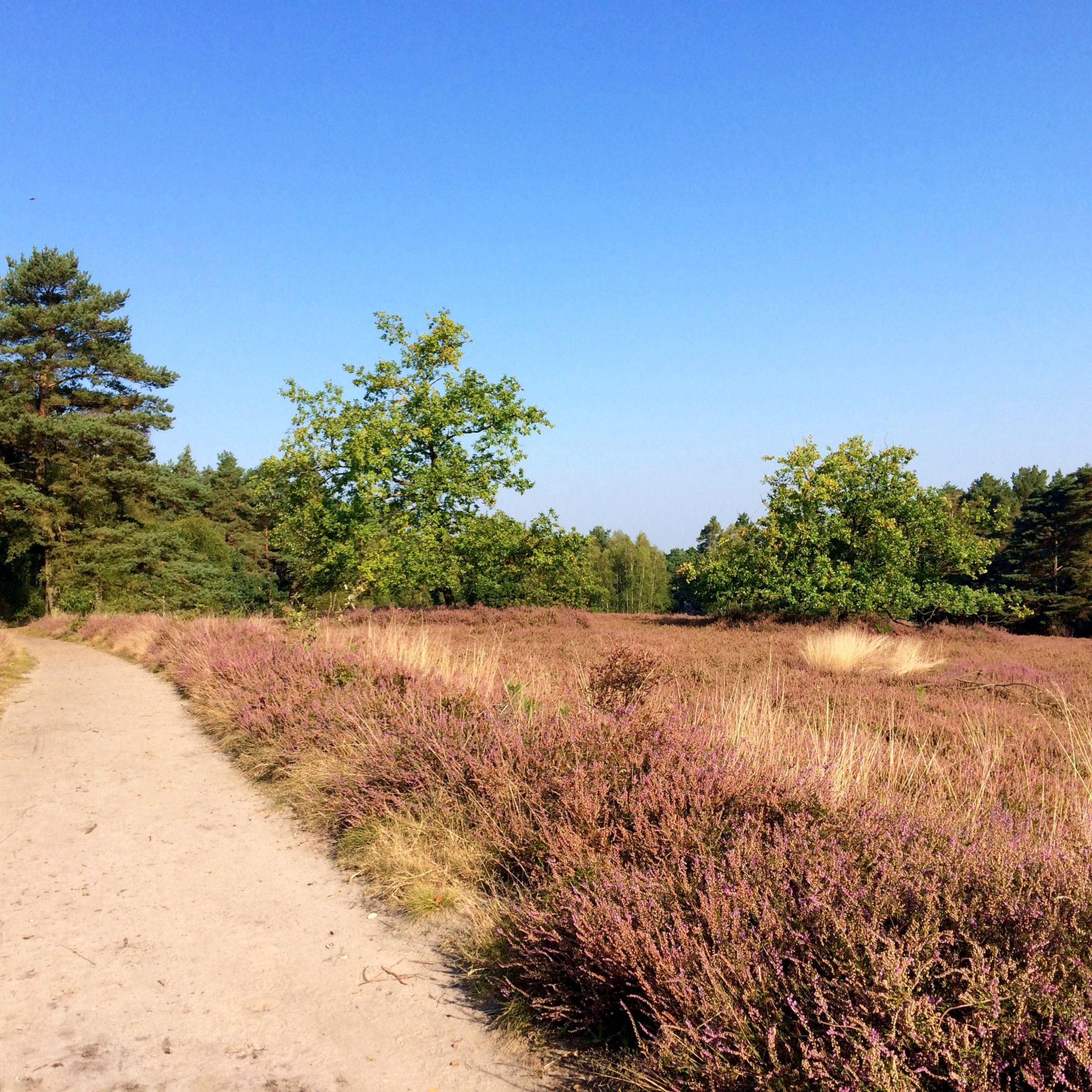
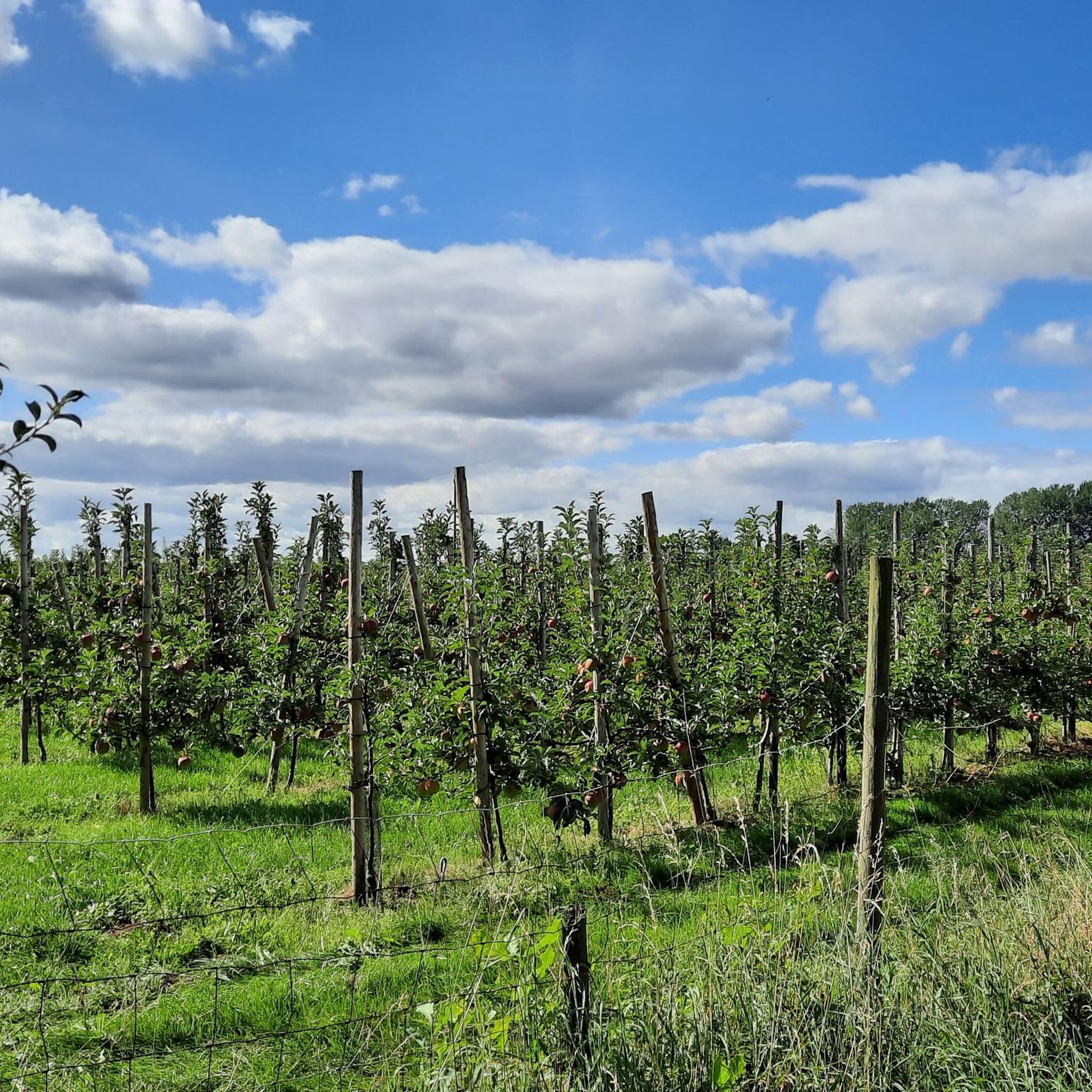
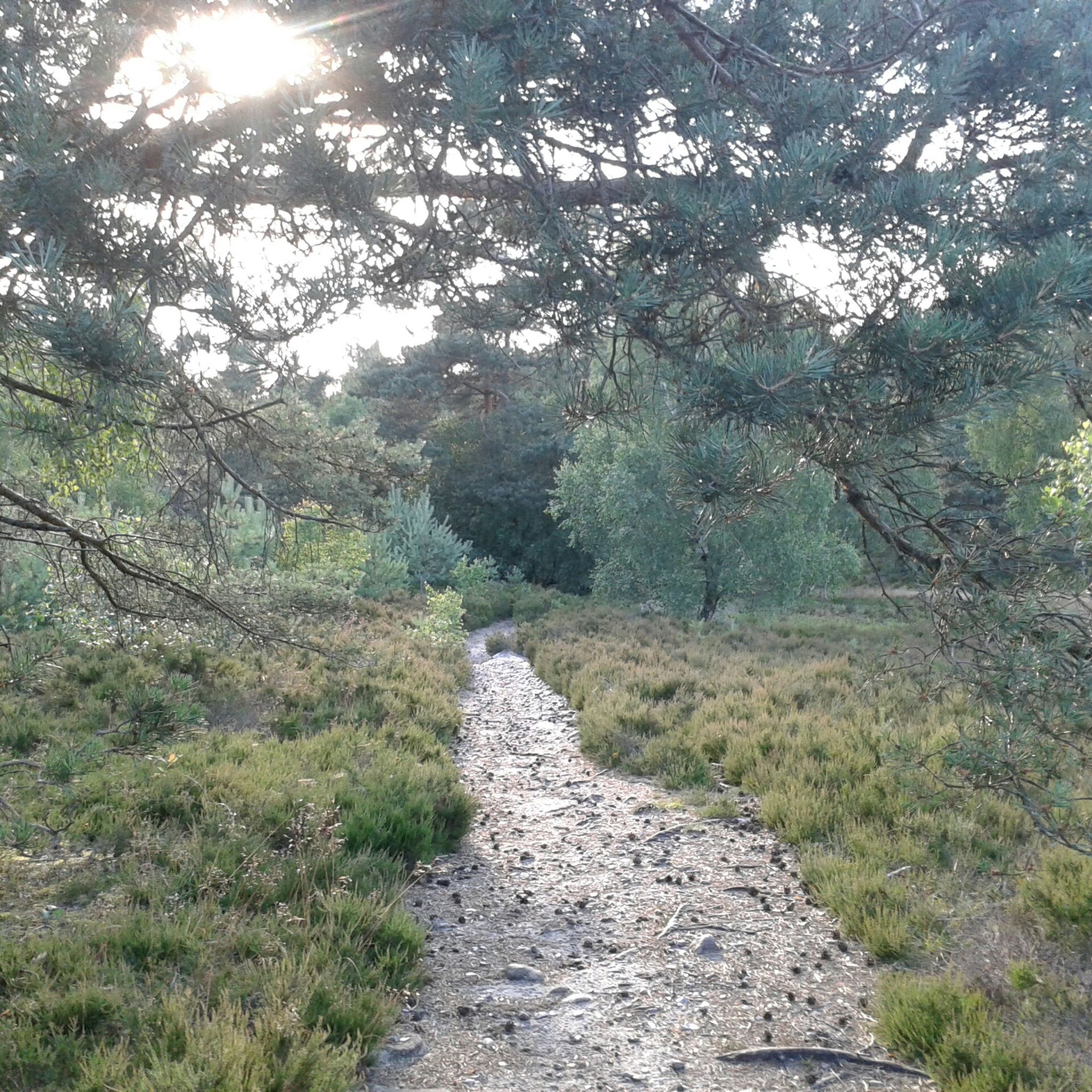
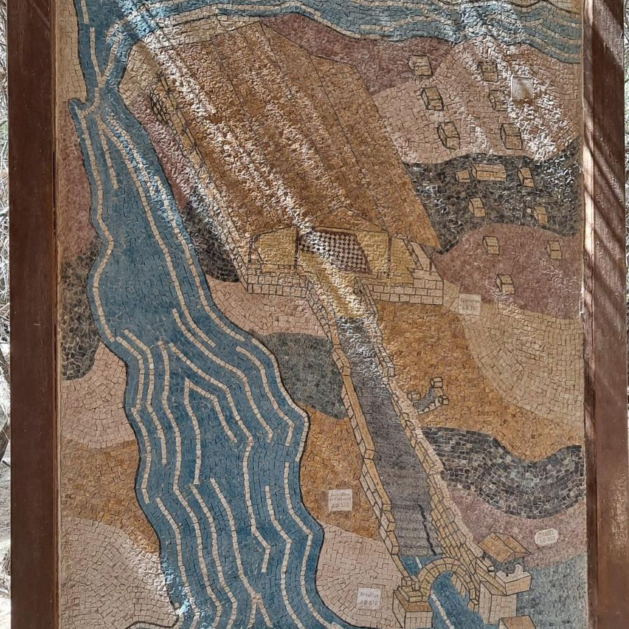


Tips from the Community

A great bench for a break at the Gauss Tower memorial on Litberg. Several seating options are available here.
6
0
At 65 meters above sea level, the Litberg is the highest elevation in the Stade district. The Gauß observation tower is located in the middle of the forest. Climbing 133 steps, you'll be rewarded with a magnificent view of the surrounding countryside. Plenty of benches invite you to linger, and there are swings for children.
6
1

Small hill with various ascents/descents, be careful cyclists!
0
0

Even if the name "Kaiserstuhl" sounds more bombastic than the hill actually is, some of the climbs up there are really challenging.
1
1

Anyone looking for the quickest route to the Elbe from Blankeneser Landstraße will likely take Falkentaler Weg, passing through Schinckels Park north of Waseberg. The influential Hamburg banker Maximilian Heinrich von Schinckel once lived here with his family. (Source: https://www.hamburg.de)
5
1

A small hill in the middle of the North German plain with historical importance. The Litberg is near Sauensiek, surrounded by Beckdorf and Goldbeck at a height of 65 meters above sea level. From the nearby country road, the first thing that catches your eye is the Gauss Tower standing on the mountain. It towers a few meters above the trees on the Litberg and, when visibility is good, you can see as far as Hamburg. But more on the view later. “Gauß-Turm” because the tower is named after Carl Friedrich Gauss. In 1821 Gauss was supposed to survey the Kingdom of Hanover and was faced with the problem of only having a few viewpoints available. The age of satellites had not yet begun and so Gauss had to make use of natural or artificial elevations to target further survey points.
3
1
Frequently Asked Questions
What are the highest points or 'peaks' around Buxtehude?
While Buxtehude is generally flat, the region does feature elevated points. The highest natural elevation in Hamburg, the Hasselbrack – Highest Point in Hamburg, reaches 116.2 meters above sea level. Another significant elevation is the Litberg, which at 65 meters above sea level, is the highest point in the Stade district and home to the Gauss Tower on the Litberg.
Are there any actual mountains near Buxtehude?
Buxtehude is located in a generally flat region of Northern Germany, characterized by rivers, marshland, and heathland. It is not known for conventional mountain peaks. The elevated points in the area, such as the Bullenberg (61 meters) or the Hasselbrack (116.2 meters), are local high points rather than mountains in the alpine sense. True mountain peaks in Germany, like the Zugspitze, are found much further south in the Alps.
What kind of outdoor activities can I do near these elevated points?
The region around Buxtehude is well-suited for cycling and hiking. You can find various routes for these activities. For example, there are numerous cycling routes around Buxtehude, including scenic paths through the Altes Land. Additionally, you can explore running trails and even gravel biking routes that take you through forests and past elevated areas.
Are there family-friendly elevated points or trails around Buxtehude?
Yes, several elevated points and their surrounding areas are suitable for families. The Gauss Tower on the Litberg is a great option, offering an observation tower with magnificent views and swings for children. The area around the Hasselbrack – Highest Point in Hamburg is also considered family-friendly, with forest paths to explore.
Where can I find scenic viewpoints in the Buxtehude region?
For panoramic views, the Gauss Tower on the Litberg is highly recommended. From its observation tower, you can enjoy a magnificent view of the surrounding countryside. The Kaiserstuhl Summit (Harburg Hills) also offers viewpoints amidst beautiful hiking trails.
What do visitors enjoy most about the elevated points near Buxtehude?
Visitors appreciate the quiet paths and natural beauty of the elevated areas. For instance, the Kaiserstuhl Summit (Harburg Hills) is known for its peaceful hiking trails. The challenge of the Waseberg is also a highlight for cyclists seeking a short but steep climb.
Can I find challenging trails for mountain biking or hiking?
While not alpine, some areas offer more challenging terrain. The Root-covered Descent at Hasselbrack is noted for its challenging mountain bike trails, often featuring roots. For cyclists, the Waseberg presents a significant climb with a 16 percent slope in parts, making it a classic challenge in Hanseatic cycling.
What natural features characterize the Buxtehude region's 'peaks'?
The elevated points around Buxtehude are typically found within forested areas, such as the state forest Rosengarten where the Hasselbrack – Highest Point in Hamburg is located. These areas are characterized by woodlands, offering a natural escape with opportunities for hiking and enjoying the local flora.
Are there any historical sites associated with these elevated points?
Yes, the Gauss Tower on the Litberg is not only a viewpoint but also a man-made monument with historical significance, commemorating the work of mathematician Carl Friedrich Gauss. The Litberg itself is the highest elevation in the Stade district, adding to its historical context.
What is the best time to visit the elevated points around Buxtehude?
The region's elevated points and trails are enjoyable throughout the year. Spring and autumn offer pleasant temperatures and beautiful scenery, especially in the forested areas. Summer is ideal for longer cycling tours, while winter can provide a unique, quiet experience, though some trails might be muddy or icy.
Are there opportunities for wildlife spotting near Buxtehude's elevated areas?
The forested areas and natural landscapes surrounding Buxtehude's elevated points, such as the Neukloster Forest and the areas around the Harburg Hills, provide habitats for various local wildlife. While specific sightings are never guaranteed, visitors might encounter deer, various bird species, and smaller forest animals during their hikes or rides.
What is the Bullenberg and its significance in Buxtehude?
The Bullenberg is the highest point within Buxtehude itself, reaching approximately 61 meters (200 feet) above sea level. It is home to a water reservoir for the city and serves as a local high point, offering a slightly elevated perspective within the otherwise flat urban and surrounding landscape.
Most popular routes around Buxtehude
Most popular attractions around Buxtehude

Get inspired with the komoot mobile app


Explore more
See even more amazing summits around Buxtehude with these guides:
