The best road cycling routes around Ehra-Lessien
4.4
(100)
727
riders
73
rides
Road cycling routes around Ehra-Lessien feature varied terrain, including both paved and unpaved sections, suitable for different cycling preferences. The area offers a network of dedicated cycling paths, quiet roads, and tracks that traverse dense forests and open landscapes. Natural features such as lakes and monuments provide scenic backdrops for rides. The region's environment supports both leisurely rides and more focused training.
Best road cycling routes around Ehra-Lessien
- The most popular road cycling route is Barwedel Climb – Guzzo Ice…
Last updated: July 11, 2026
3.7
(3)
27
riders
51.7km
02:00
140m
140m
Easy road ride. Great for any fitness level. Mostly well-paved surfaces and easy to ride.
5.0
(2)
21
riders
42.2km
01:37
70m
70m
Easy road ride. Great for any fitness level. Mostly well-paved surfaces and easy to ride.

Sign up for free
5.0
(1)
11
riders
21.8km
00:51
60m
60m
Easy road ride. Great for any fitness level. Mostly well-paved surfaces and easy to ride.
12
riders
Easy road ride. Great for any fitness level. Mostly well-paved surfaces and easy to ride.
4.6
(5)
9
riders
34.6km
01:27
120m
120m
Moderate road ride. Great for any fitness level. Some segments of this route may be unpaved and difficult to ride.
Get access to more routes and recommendations from other explorers.
Sign up for free
Already have an account?
Our route recommendations are based on thousands of hikes, rides, and runs completed by other people on komoot.
Start today with a free account
Your next adventure awaits.
Login or Signup
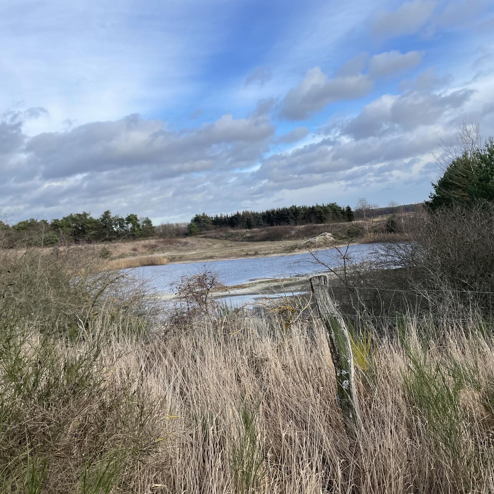
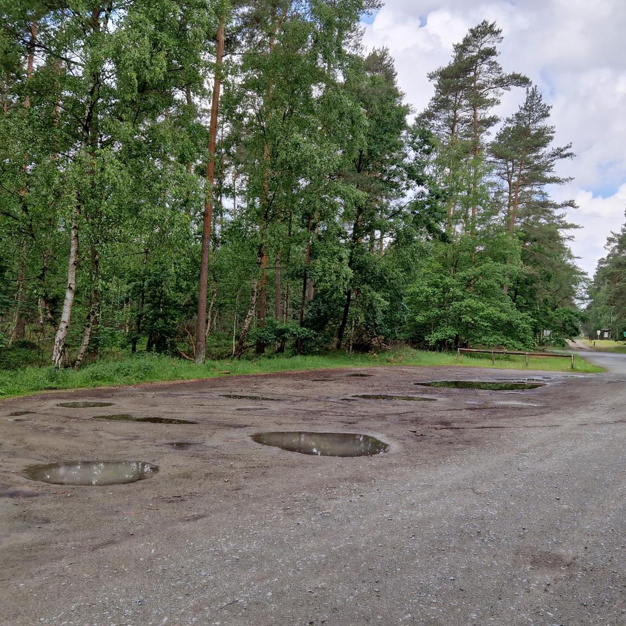


Tips from the Community

When you visit the Vorhop memorial stone, take a moment to carefully read the inscription and let the peaceful surroundings sink in. Such memorial stones often tell the history of a place and commemorate people or events that were significant to the region – a short stop is therefore particularly worthwhile.
0
0
A good, realistic tip: Go onto one of the cycle and foot paths along the Mittellandkanal and find one of the road bridges (e.g. outside of Gifhorn towards Isenbüttel). From above you have the best view, especially when a ship passes or in the late afternoon with the sun low – then the canal appears surprisingly calm and spacious.
0
0
Neudorf-Platendorf is particularly known for its approximately six-kilometer-long, perfectly straight village street – it is considered the longest straight town road in Lower Saxony. Also characteristic are the many small bridges that lead from the street over ditches to the properties and give the place a unique appearance.
0
0
Since the route is located directly in a wildlife reserve, the area is completely fenced so that no deer crosses the road at 400 km/h – that would be fatal for both sides.
0
0
A very nice paved bike path that leads directly to the testing grounds.
0
0
The Volkswagen proving ground Ehra-Lessien is one of the most mysterious and impressive areas in the Gifhorn region. It is located just north of Wolfsburg and is a household name for car fans worldwide, even if hardly anyone is ever allowed to set foot in it.
0
0
"Ulenboom" is Low German for owl tree. The name comes from the fact that owls found shelter in the crown or in the hollows of the old trunk. In village folklore, the call of the owl was often considered a mystical sign, which gave the tree a special aura. The linden tree is estimated to be several hundred years old. It has witnessed wars, village fires and the transformation from a heathland circular village to a modern community.
1
0
A very nice cycle path to Grußendorf
0
0
Frequently Asked Questions
How many road cycling routes are available around Ehra-Lessien?
There are over 80 road cycling routes around Ehra-Lessien, offering a diverse range of experiences for cyclists. These include 30 easy routes and 50 moderate routes.
What kind of terrain can I expect on road cycling routes in Ehra-Lessien?
The region features varied terrain, including both paved and unpaved sections. You'll find routes on dedicated tracks, paths, and quiet roads, often passing through dense forests and open landscapes. This mix provides options for both smooth riding and potentially more challenging gravel-like sections.
Are there any easy road cycling routes suitable for beginners in Ehra-Lessien?
Yes, Ehra-Lessien offers 30 easy road cycling routes. An example is the Côte de Barwedel – Ulenboom Linden Tree loop from Grußendorf, a 21.8 km trail that leads through varied terrain and is often completed in about 50 minutes.
What are some notable landmarks or natural features I might see along the routes?
Road cycling routes in Ehra-Lessien often pass by scenic natural features like lakes and dense forests. You might encounter the Ohresee, or historical sites such as the Signal Fence and Shelter at Zicherie Border Trail. The region also has charming spots like the Hunter's Cabin and Beaver Pond in Giebelmoor.
Are there any circular road cycling routes in the area?
Yes, many routes around Ehra-Lessien are designed as loops. For instance, the Barwedel Climb – Guzzo Ice Cream Café loop from Grußendorf is a 51.7 km easy ride, and the Ehra Church – Guzzo Ice Cream Café loop from Ehra-Lessien is a moderate 29.4 km option.
What do other road cyclists enjoy most about cycling in Ehra-Lessien?
The road cycling routes in Ehra-Lessien are highly rated by the komoot community, with an average score of 4.4 stars from over 90 reviews. Cyclists often praise the varied terrain, the network of dedicated paths, and the scenic backdrops provided by dense forests and natural features.
Can I find routes that pass by places to eat or rest?
Yes, some routes are known to pass by amenities. For example, the Barwedel Climb – Guzzo Ice Cream Café loop from Grußendorf and the Ehra Church – Guzzo Ice Cream Café loop from Ehra-Lessien both feature the Guzzo Ice Cream Café, offering a pleasant stop. You might also find the Restaurant Jorgos on the Mittelland Canal in Rühen accessible from some routes.
Is Ehra-Lessien suitable for family-friendly road cycling?
The region offers a variety of routes, including 30 easy options, which can be suitable for families. The presence of dedicated cycling paths and quiet roads through forests provides a safer and more enjoyable environment for family rides. Always check the specific route details for terrain and distance to ensure it matches your family's ability.
What is the best time of year for road cycling in Ehra-Lessien?
Ehra-Lessien is generally pleasant for road cycling during spring, summer, and early autumn. These seasons offer milder temperatures and lush scenery. The dense forests can provide shaded routes during warmer months, enhancing the riding experience.
Are there any routes that offer views of interesting local infrastructure?
Yes, some routes provide glimpses of local infrastructure. For instance, the Testgelände Loop – Volkswagen Test Facility loop from Ehra-Lessien is an easy 30.9 km route that explores the area around the Volkswagen Test Facility, offering a unique perspective on the region's industrial heritage.
Where can I find parking for road cycling routes in Ehra-Lessien?
Many routes start from villages like Grußendorf or Ehra-Lessien, where public parking options are typically available. It's advisable to check the starting point of your chosen route for specific parking information.
Are there any routes that pass by historical sites or monuments?
Yes, the area has historical points of interest. For example, the Border Trail and Memorial at Böckwitz-Zicherie is a significant historical site that some routes may pass near, offering a chance to reflect on the region's past.
What is the longest moderate road cycling route available?
Among the moderate routes, the Wolfsburg Castle – Wolfsburg Castle loop from Barwedel is a substantial option, covering 34.6 km with an elevation gain of 116 meters, offering a good challenge for experienced riders.
Most popular routes around Ehra-Lessien
Most popular attractions around Ehra-Lessien

Get inspired with the komoot mobile app


Explore more
Browse the best Road cycling routes in other regions.
