Top 20 Mountain Passes around Hohenschwangau
Best mountain passes around Hohenschwangau are situated at the edge of the Bavarian Alps, offering access to scenic drives and alpine landscapes. The region is characterized by its mountainous foothills, serene lakes, and historic castles. Hohenschwangau provides a starting point for exploring winding roads and elevated viewpoints within the broader Ostallgäu region. These routes offer diverse landscapes and access to various natural features.
Best mountain passes around Hohenschwangau
- The most popular mountain pass is Schneidspitze, a summit and mountain pass that can be climbed from the Lechtal. The summit offers views of the neighboring Gehren peaks.
- Another must-see spot is Füssener Jöchle Viewpoint, a viewpoint and mountain pass. From the mountain station of the Füssener Jöchle cable car, there is a view of the foothills of the Alps.
- Visitors also love Sabachjoch Pass, a challenging mountain pass. This pass offers views in all directions and features a rock face in the landscape.
- Hohenschwangau is known for its viewpoints, challenging climbs, and intermediate trails. The region offers a variety of mountain passes to see and explore, ranging from summits to scenic routes.
- The mountain passes around Hohenschwangau are appreciated by the komoot community, with over 1600 upvotes and nearly 900 photos shared.
Last updated: July 10, 2026
Füssener Jöchle Viewpoint
Highlight • Viewpoint
Translated by Google •
Tip by

Tegelbergbahn valley station
Highlight • Rest Area
Translated by Google •
Tip by

Sign up now to discover places like this
Get recommendations on the best single tracks, peaks, & plenty of other exciting outdoor places.
Sign up for free
Geiselstein Pass
Highlight • Mountain Pass
Translated by Google •
Tip by

Schneidspitze
Highlight • Summit
Translated by Google •
Tip by

Sabachjoch Pass
Highlight • Mountain Pass
Translated by Google •
Tip by

Sign up for free to discover even more mountain passes around Hohenschwangau.
Sign up for free
Already have an account?
Start today with a free account
Your next adventure awaits.
Login or Signup
Popular around Hohenschwangau
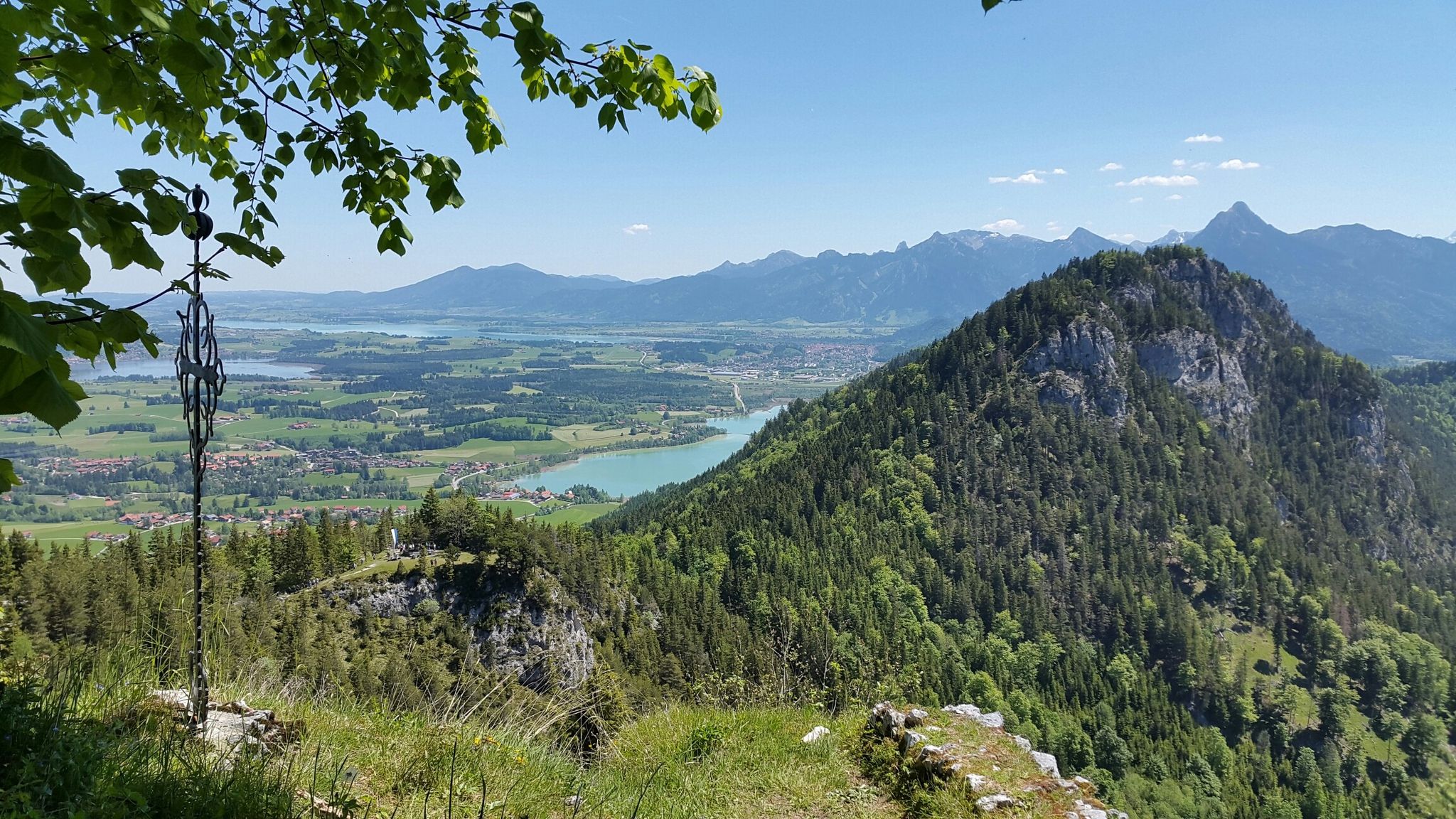
Stories, summits and enjoyment – Allgäu Castle Park
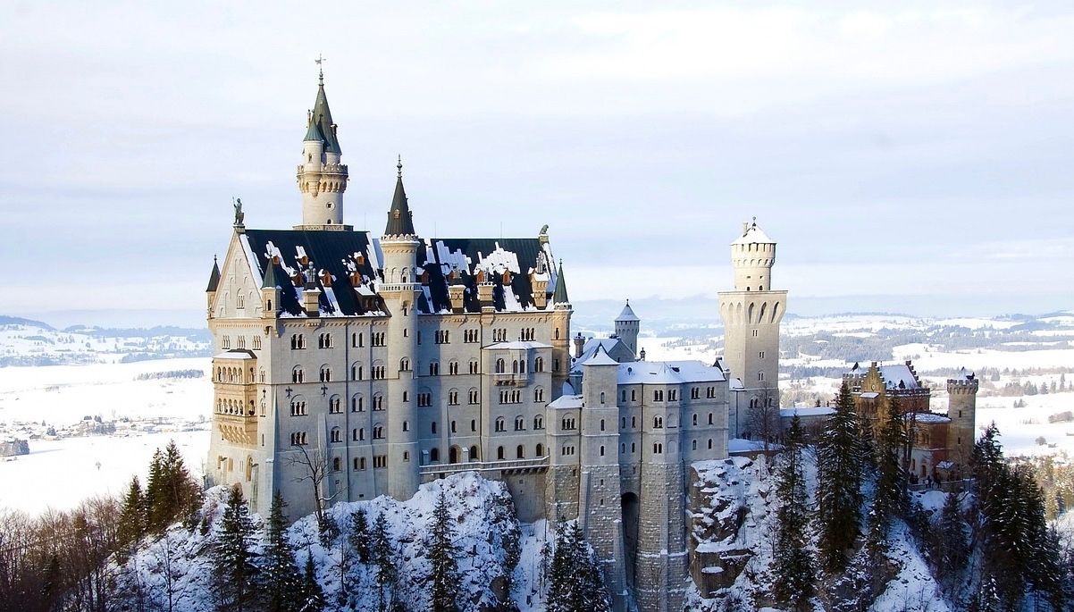
Like a fairytale – Germany during Advent
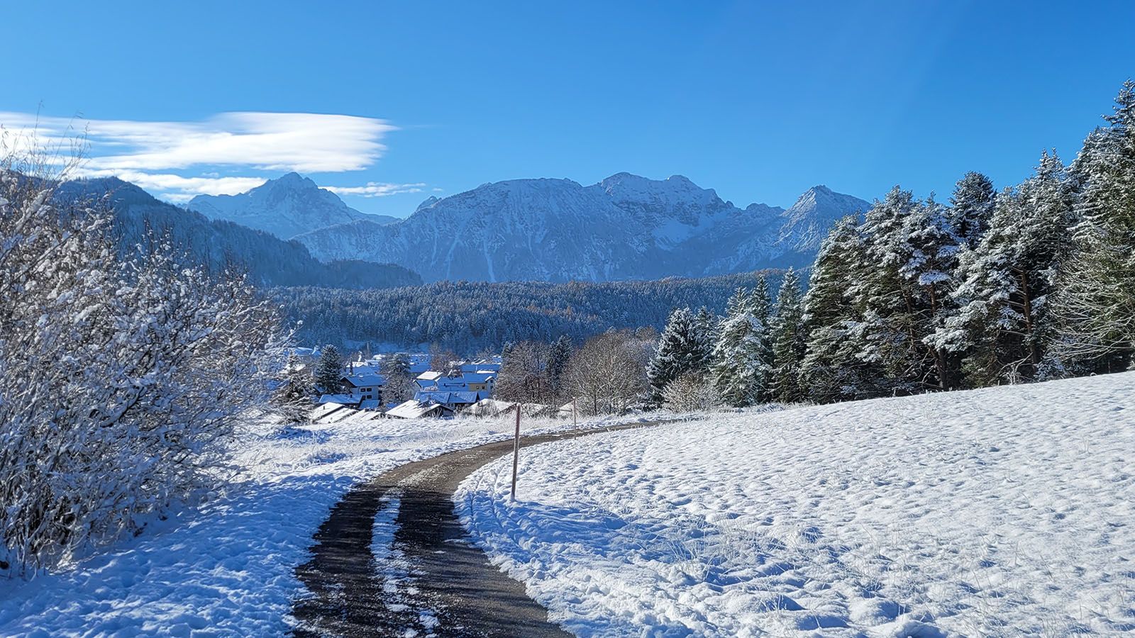
Winter im Ostallgäu – mit und ohne Schnee immer ein Erlebnis
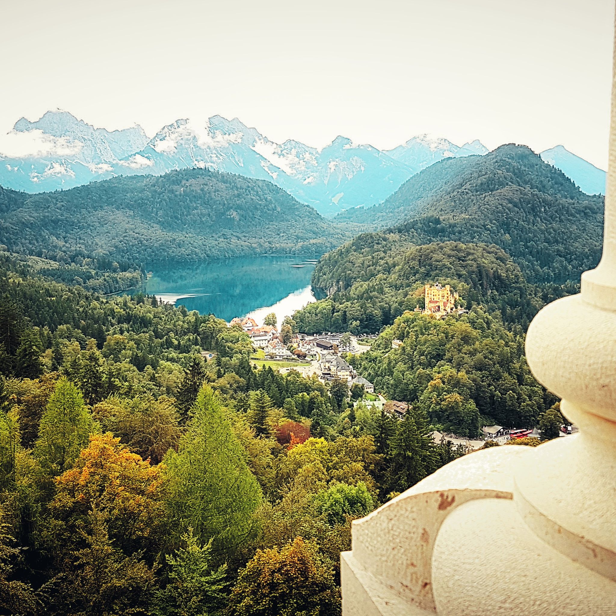
Hiking around Hohenschwangau
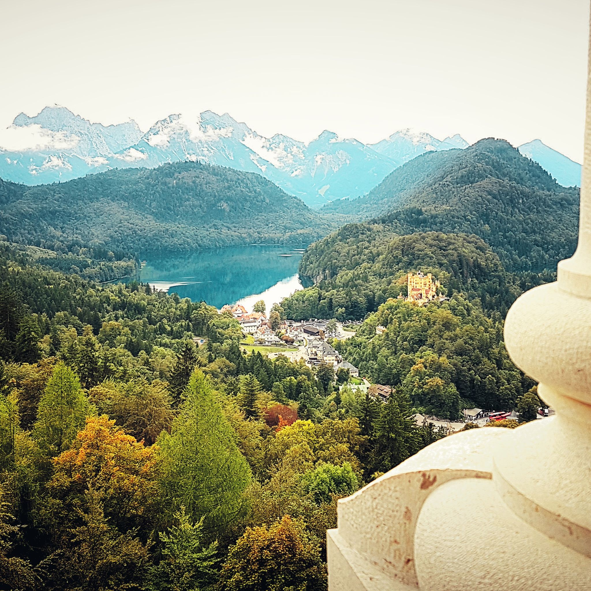
Cycling around Hohenschwangau
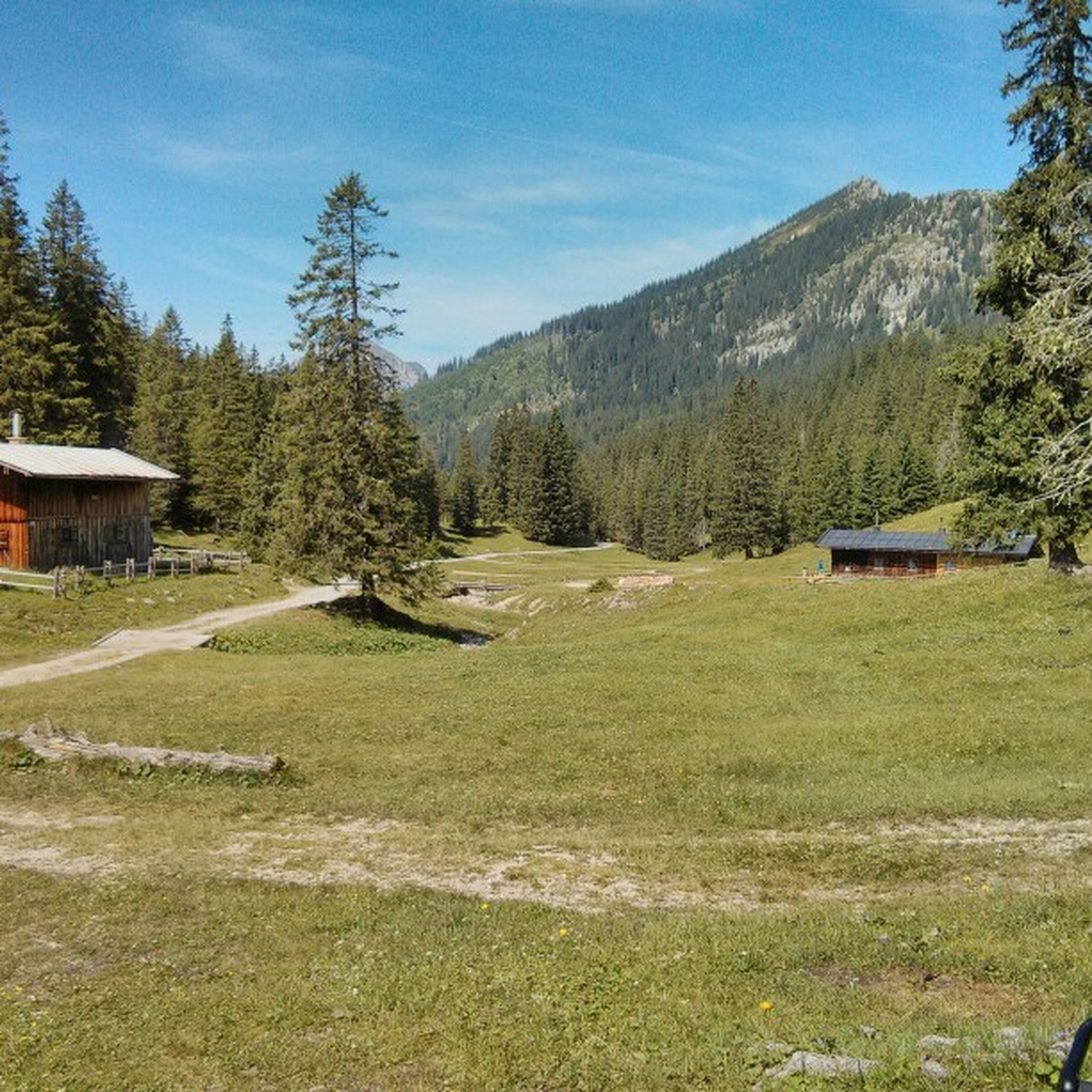
MTB Trails around Hohenschwangau
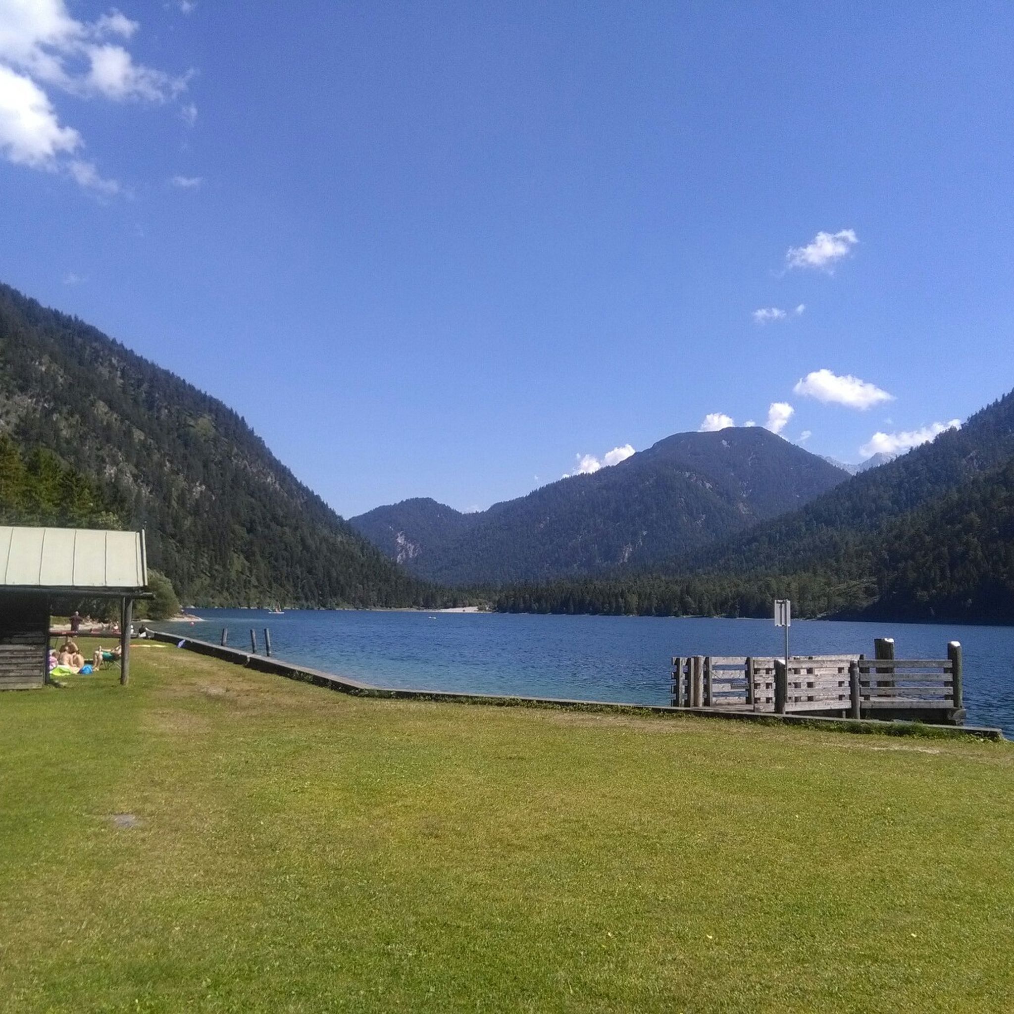
Road Cycling Routes around Hohenschwangau
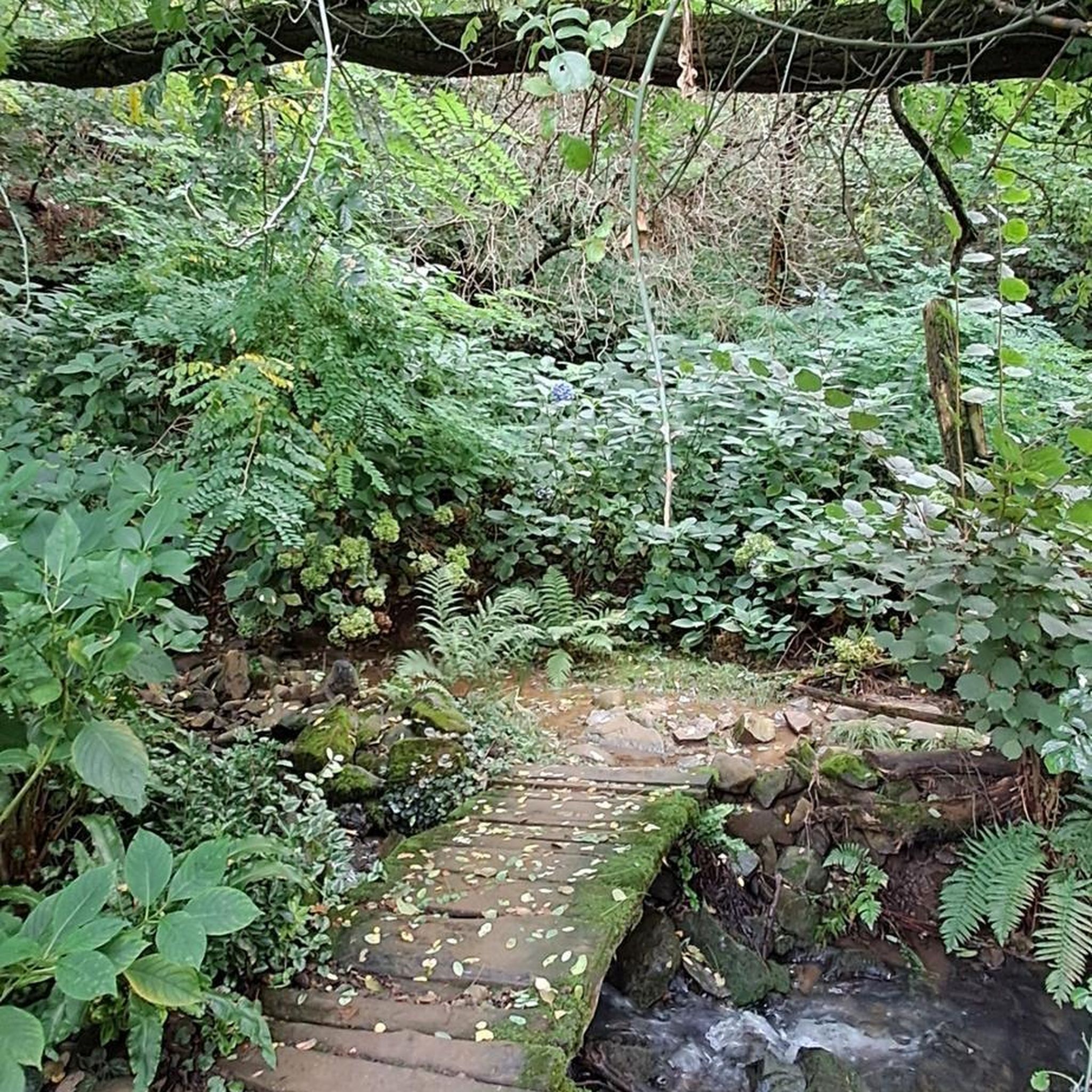
Mountain Hikes around Hohenschwangau
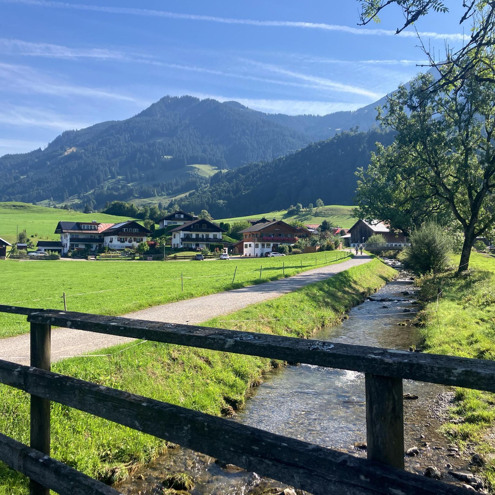
Gravel biking around Hohenschwangau
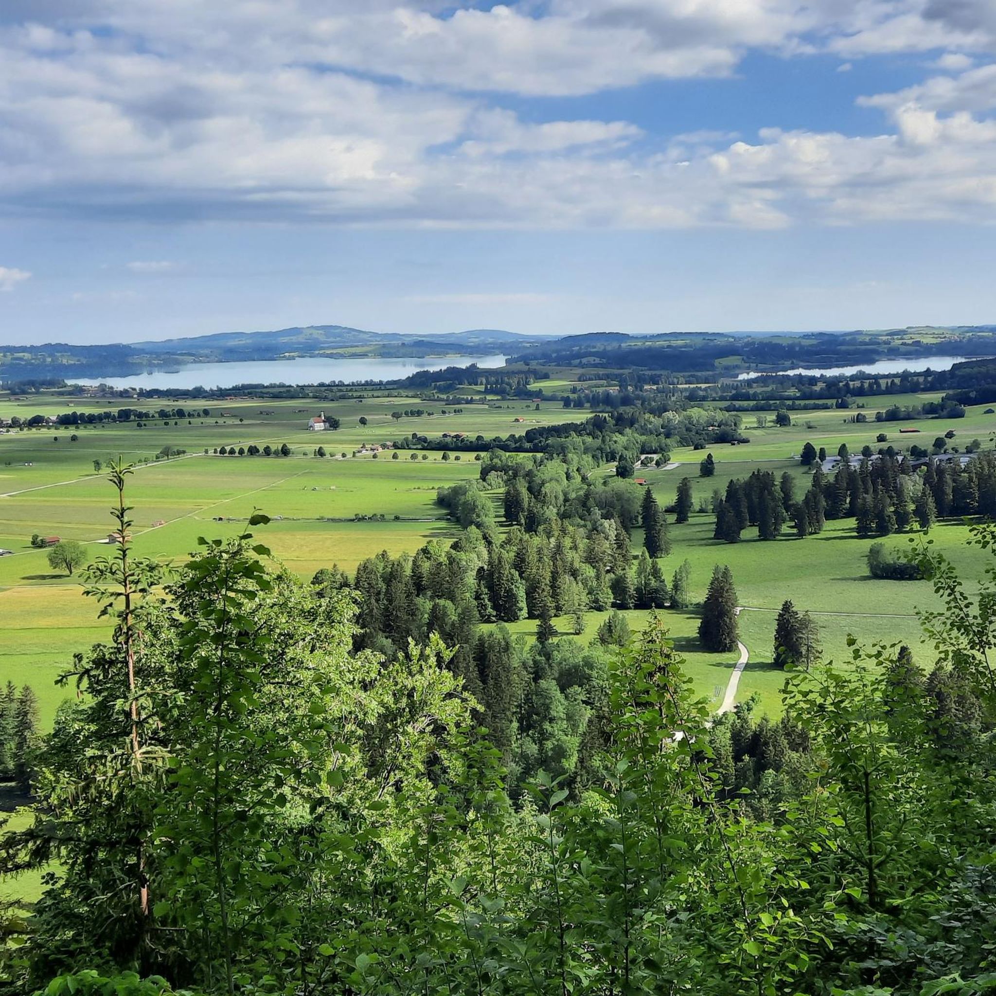
Running Trails around Hohenschwangau


Tips from the Community

It's highly recommended as a hike. Anyone who wants to continue up the Geiselstein should have some experience and the necessary climbing equipment.
0
0

A very easy-to-hike mountain, easily accessible both on foot and by gondola.
3
0

From the Sabachjoch, you can either continue on the T4 towards Scheid, continue below Kellenschrofen and -spitze towards Rote Flüh and Gimpel, or return towards Reutte on one side and Nesselwängle on the other. Very nice view 🥰
0
0

The Schneid was first mentioned in an Austrian map in 1880 as Schneid Sp. The name derives from the grassy ridge extending westward. Such a "Schneid" is used in Bavarian for sharp ridges. Thaddäus Steiner therefore assumes that the use of the Schneid originates from its westernmost extension, since Egg was otherwise used in the Allgäu region. In the Tannheim Valley, however, a name based on the shape of a church was common. Source: https://de.wikipedia.org/wiki/Schneid_(Tannheimer_Berge)
1
0
From the Sabachjoch, several destinations can be reached. The Schneidspitze is quickly reached via the western ridge. Northeast of it lies the Gehrenspitze. West of the Sabachjoch, a path below the striking cliffs leads to the Köllenspitze, and past the Zwerchenwand, you can also reach the Gimpel and the Rote Flüh. However, these are all destinations with alpine hazards, some requiring scrambling or via ferrata, and should only be attempted by experienced mountaineers.
1
0


From the Sabachjoch you have a great view of the Forggen and Bannwaldsee
0
0
www.tegelbergbahn.de approx. 4 minutes travel time, that's how quickly it can go, it's significantly more strenuous on foot.. The little robber's daughter really likes riding the cable car and walking down is significantly easier 😁
3
0
Frequently Asked Questions
What are some of the most scenic mountain passes and viewpoints around Hohenschwangau?
The region offers several stunning spots. The Füssener Jöchle Viewpoint provides a great view of the foothills of the Alps from its mountain station. For a more challenging experience, Sabachjoch Pass offers panoramic views in all directions and features a magnificent rock face. Additionally, the Roggental Saddle rewards visitors with wonderful views of the Allgäu Alps after a beautiful ascent.
Are there any family-friendly mountain passes or viewpoints suitable for all ages?
Yes, the Füssener Jöchle Viewpoint is considered family-friendly. You can reach the viewpoint via a cable car, making it accessible for families and offering great views without strenuous hiking. The Tegelberg Mountain, while not a pass, also offers a cable car ride with spectacular views and various hiking trails suitable for different fitness levels.
What kind of outdoor activities can I do near the mountain passes around Hohenschwangau?
The area around Hohenschwangau is excellent for various outdoor activities. You can find numerous routes for gravel biking, running, and road cycling. For example, there are challenging gravel biking routes like 'Around the Tannheim mountains' and scenic road cycling tours such as 'Plansee – Allgäu Cycle Path loop from Füssen'. You can explore more options on the Gravel biking around Hohenschwangau, Running Trails around Hohenschwangau, and Road Cycling Routes around Hohenschwangau guide pages.
What are some challenging mountain passes for experienced hikers?
For experienced hikers seeking a challenge, Schneidspitze is a summit and mountain pass that can be climbed from the Lechtal, offering great views of the neighboring Gehren peaks. The Geiselstein Pass also features a steep ascent rewarded with a very nice view, making it a challenging but rewarding climb. Sabachjoch Pass is another strenuous option with magnificent rock formations.
Are there any historical mountain routes or passes in the region?
While Hohenschwangau is known for its castles, the broader Bavarian Alps region has historical routes. The Oberjoch Pass, for instance, has a history dating back to the Middle Ages when it served as an important trade route for goods like salt. Sections of the German Alpine Road also pass through historic towns and offer a journey through Bavaria's alpine foothills.
What is the best time of year to visit the mountain passes around Hohenschwangau?
The best time to visit generally depends on your preferred activity. For hiking and cycling, late spring to early autumn (May to October) offers the most favorable weather conditions. Early September, for example, is noted as a good time for ascents like the Roggental Saddle, often providing pleasant temperatures and clear views. Winter conditions can make some passes challenging or inaccessible for general recreation.
What kind of views can I expect from the mountain passes?
From the mountain passes and viewpoints around Hohenschwangau, you can expect breathtaking panoramic views. These often include the majestic Bavarian Alps, the Nagelfluhkette national park, and sometimes even glimpses of Vorarlberg (Austria) and the Swiss Alps. You'll see a mix of rolling hills, pastoral scenery, serene lakes like Alpsee, and dramatic mountain backdrops, especially from elevated points like the Füssener Jöchle Viewpoint or Roggental Saddle.
Are there any long-distance scenic drives that incorporate mountain passes near Hohenschwangau?
Yes, the German Alpine Road (Deutsche Alpenstraße) is an extensive scenic route stretching over 450 kilometers through Bavaria's alpine foothills. While not a single pass, sections of this road offer continuous scenic journeys, connecting shimmering lakes, meadows, and dramatic mountain backdrops. Hohenschwangau itself is a key highlight along this route, making it ideal for a longer scenic drive.
What do visitors particularly enjoy about the mountain passes in this region?
Visitors frequently praise the stunning panoramic views and the rewarding feeling after a challenging climb. For instance, the steep ascent to Geiselstein Pass is often described as being 'rewarded with a very nice view' and that 'the panorama is worth every effort'. The diverse landscapes, from alpine foothills to serene lakes, also contribute to a highly appreciated experience.
Can I find trails for running near the mountain passes?
Absolutely. The region offers several running trails that can be accessed near the mountain passes or in the surrounding areas. Popular routes include the 'Alpsee – Alpsee loop from Schwangau' and the 'Lechfall – Hohenschwangau Castle loop from Neuschwanstein Castle'. These trails vary in difficulty from easy to difficult, providing options for different fitness levels. More details can be found on the Running Trails around Hohenschwangau guide page.
Are there any mountain passes that offer views into neighboring countries?
Yes, the Oberjoch Pass, part of the German Alpine Road, offers fantastic panoramic views of the surrounding mountains, including glimpses of Vorarlberg (Austria) and the Swiss Alps from viewpoints like 'Paradise'. Additionally, the Fernpass, while primarily in Austria, is a route often taken by visitors from Schwangau and provides impressive alpine scenery comparable to the Rockies.
What kind of terrain can I expect on the mountain passes around Hohenschwangau?
The terrain varies significantly. You can expect everything from well-maintained scenic roads suitable for driving and cycling to challenging hiking trails with steep ascents and rough gravel paths. Some passes, like Schneidspitze, might require sure-footedness, especially on the final sections or descents. The region is characterized by mountainous foothills, so expect elevation changes and diverse natural surfaces.
Most popular routes around Hohenschwangau
Most popular attractions around Hohenschwangau

Get inspired with the komoot mobile app


Explore more
See even more epic mountain passes by checking out these guides around Hohenschwangau:
