The 9 Most Amazing Peaks around Hirsau
Best mountain peaks around Hirsau are found in a region characterized by its densely wooded, hilly landscape within the Nagold Valley in the northern Black Forest. The area features numerous elevated locations and viewpoints that provide scenic vistas and engaging hiking experiences. Hirsau is recognized for its healthy, stimulating low mountain climate, contributing to its appeal for those seeking natural, health-promoting environments. The region offers diverse natural features and historical sites, making it a notable destination for outdoor activities.
Best…
Last updated: July 6, 2026
Venusberg–Wolfsäcker–Besental/Halde Nature Reserve
Highlight • Natural Monument
Strictly speaking, …
Translated by Google •
Tip by

Highest Point of Hohenwart (544 m)
Highlight • Summit
Translated by Google •
Tip by

Sign up now to discover places like this
Get recommendations on the best single tracks, peaks, & plenty of other exciting outdoor places.
Sign up for free
Geißberg
Highlight • Summit
The Gäurandweg trail also runs through here.
Several marked hiking trails, such as the Schneckenweg (Snail Trail) or Veigelesweg (Veigeles Trail), also pass through here.
Translated by Google •
Tip by

Höhnle Viewpoint
Highlight • Viewpoint
Translated by Google •
Tip by
View of the Biet Heights and Heckengäu
Highlight • Viewpoint
Translated by Google •
Tip by

Sign up for free to discover even more peaks around Hirsau.
Sign up for free
Already have an account?
Start today with a free account
Your next adventure awaits.
Login or Signup
Popular around Hirsau
bwegt-Wanderweg – travel in a climate-friendly way, experience more
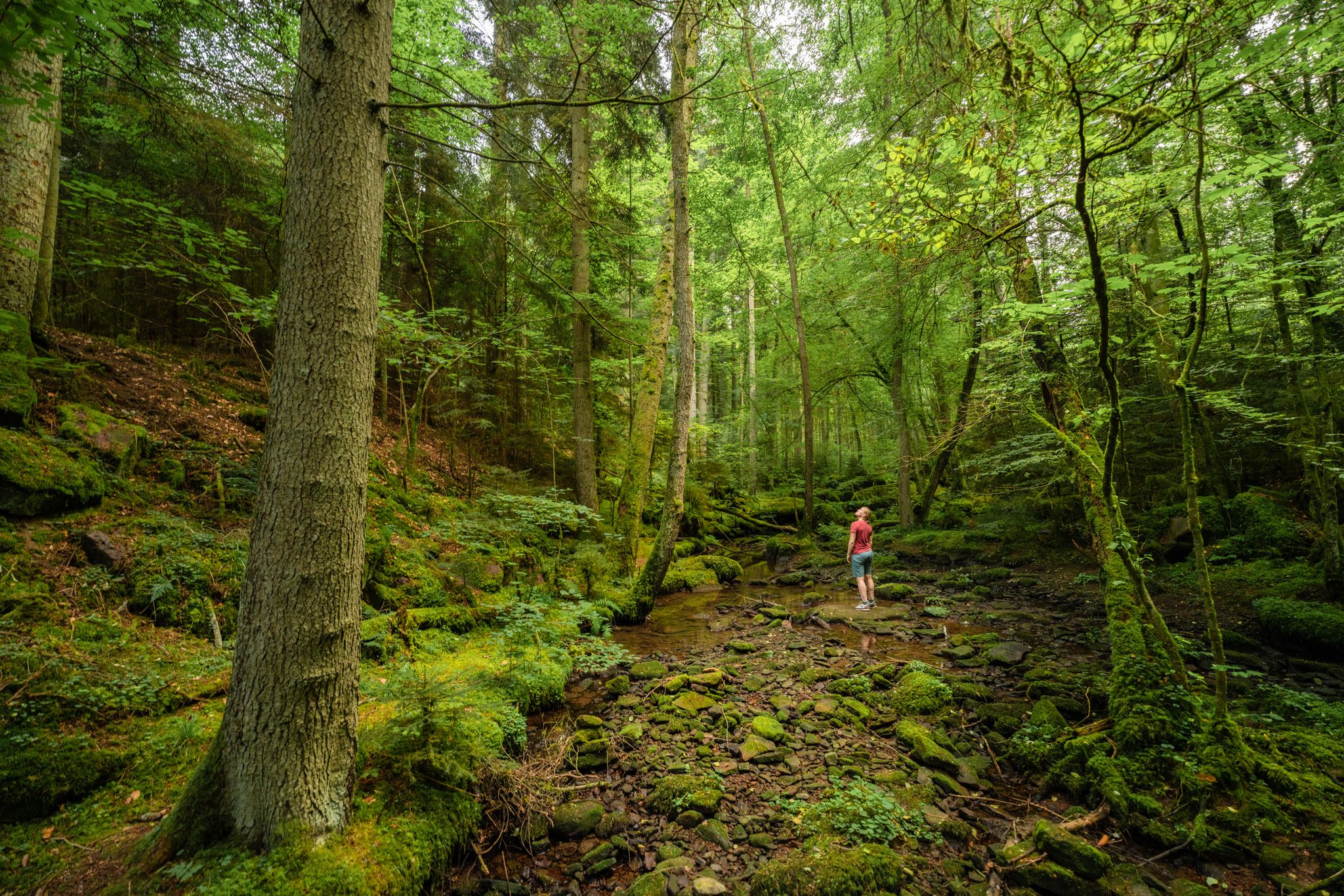
Superb adventures – the best hiking Tours in the Northern Black Forest
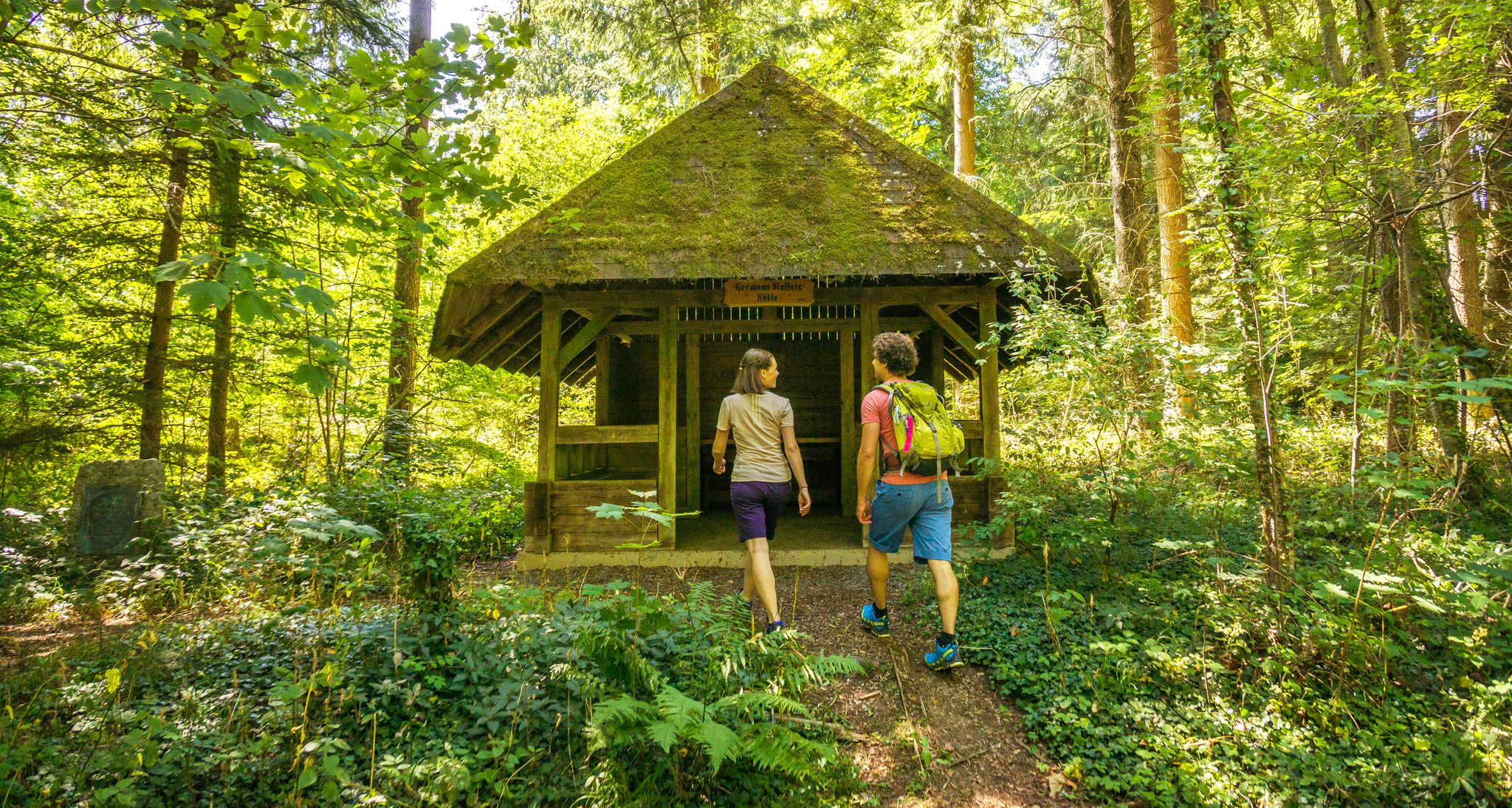
A green adventure – sustainable hiking in the Northern Black Forest
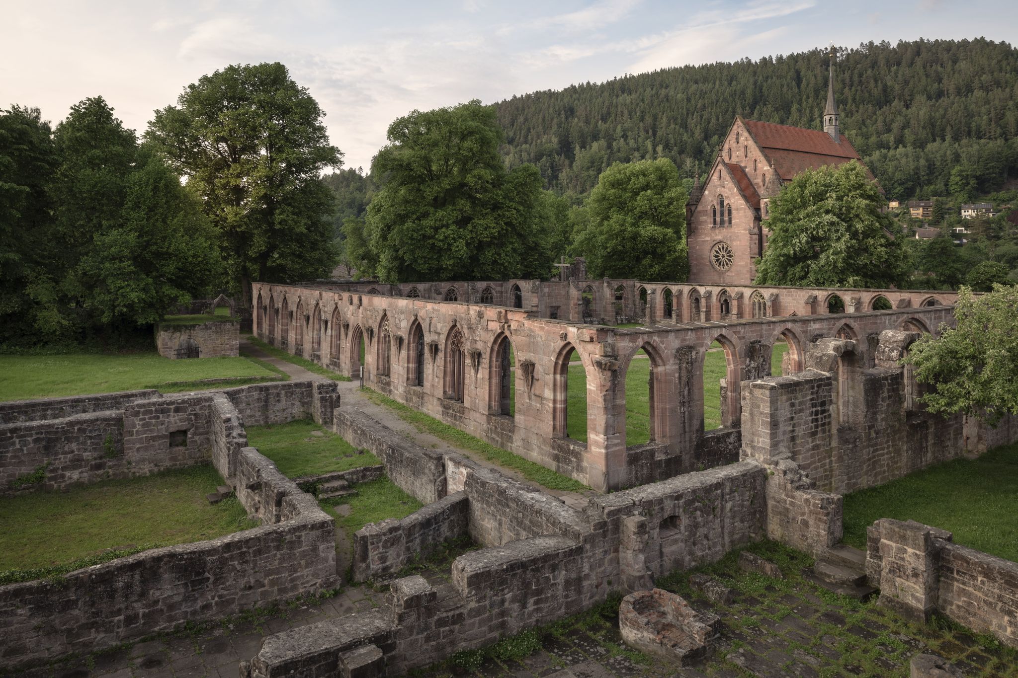
Cycling the Monastery Route in the Northern Black Forest
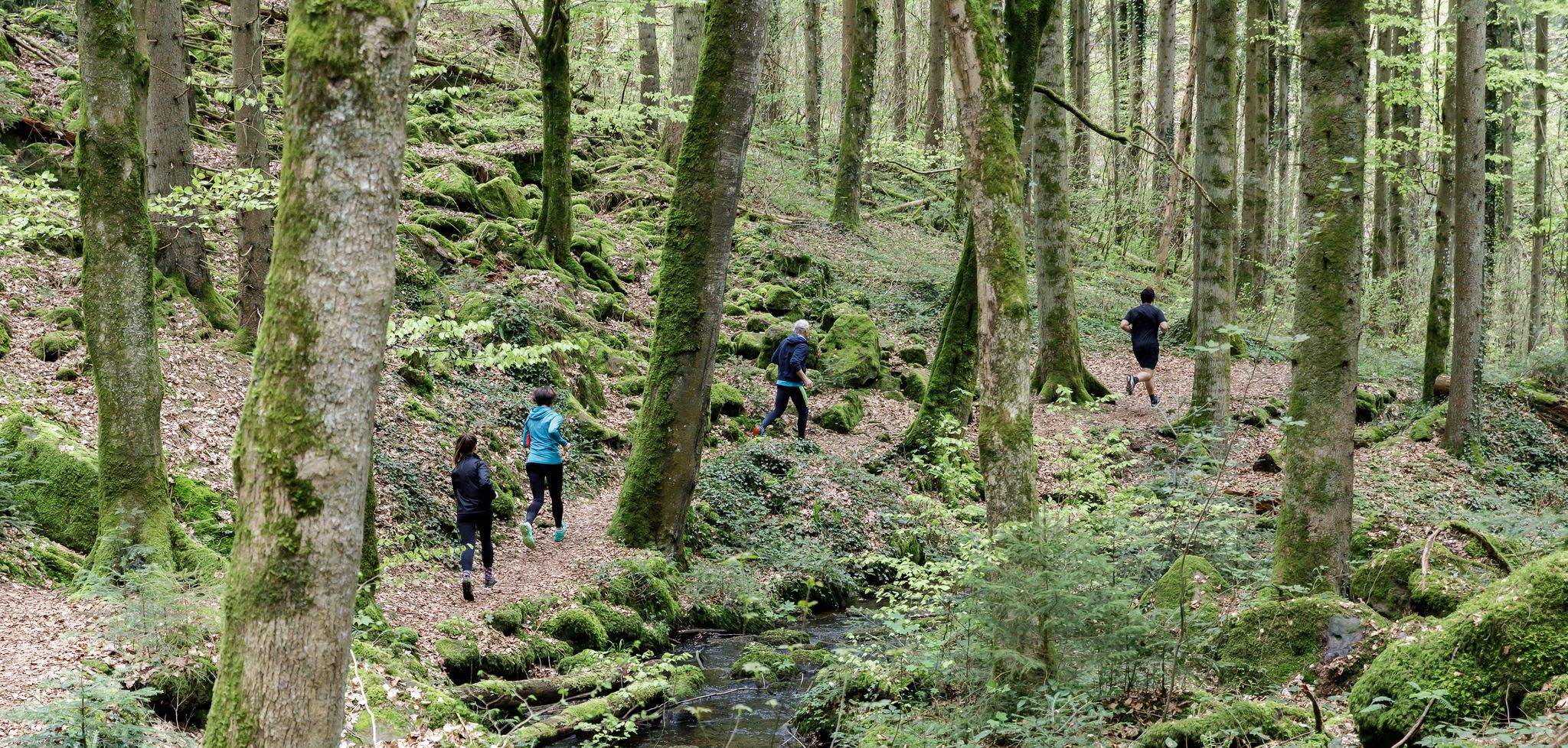
Trailrunning in Calw – Die perfekte Auszeit in der Natur
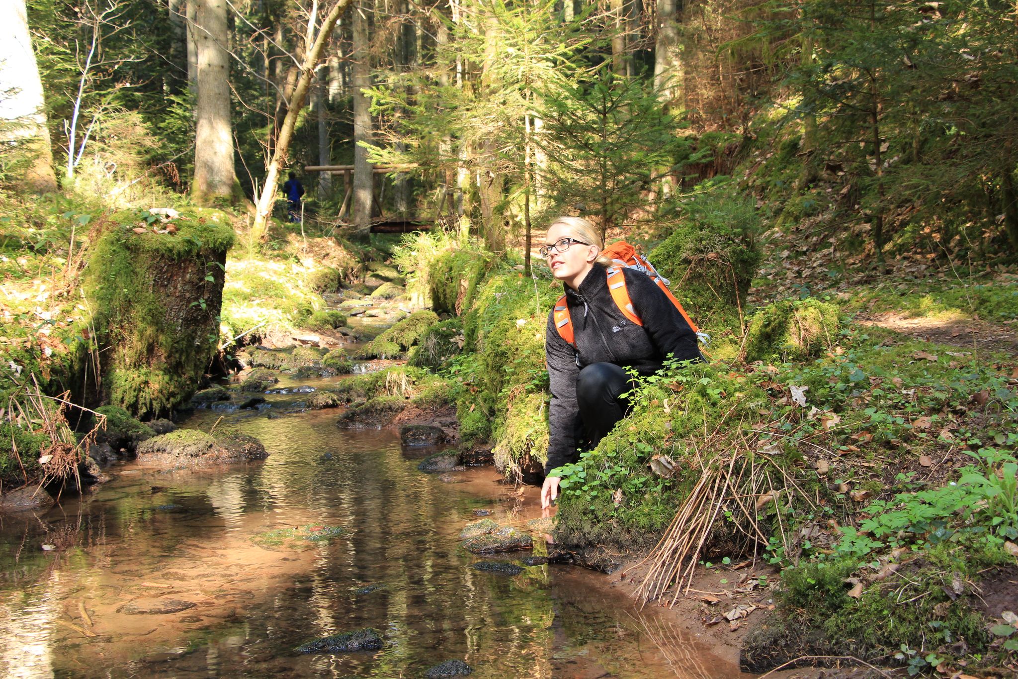
TOP Wandertouren in und um Calw - Wandern in der Königsklasse!
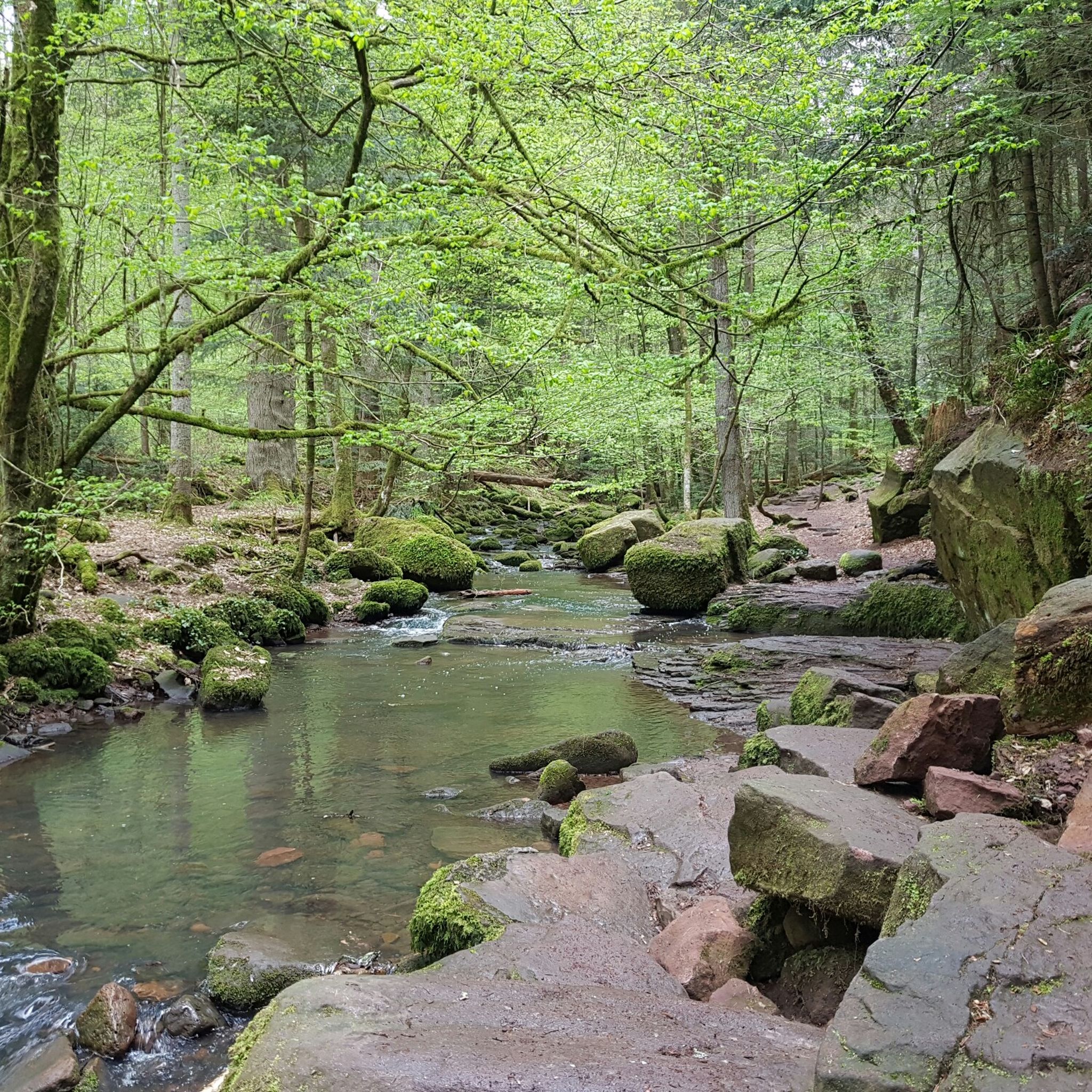
Hiking around Hirsau
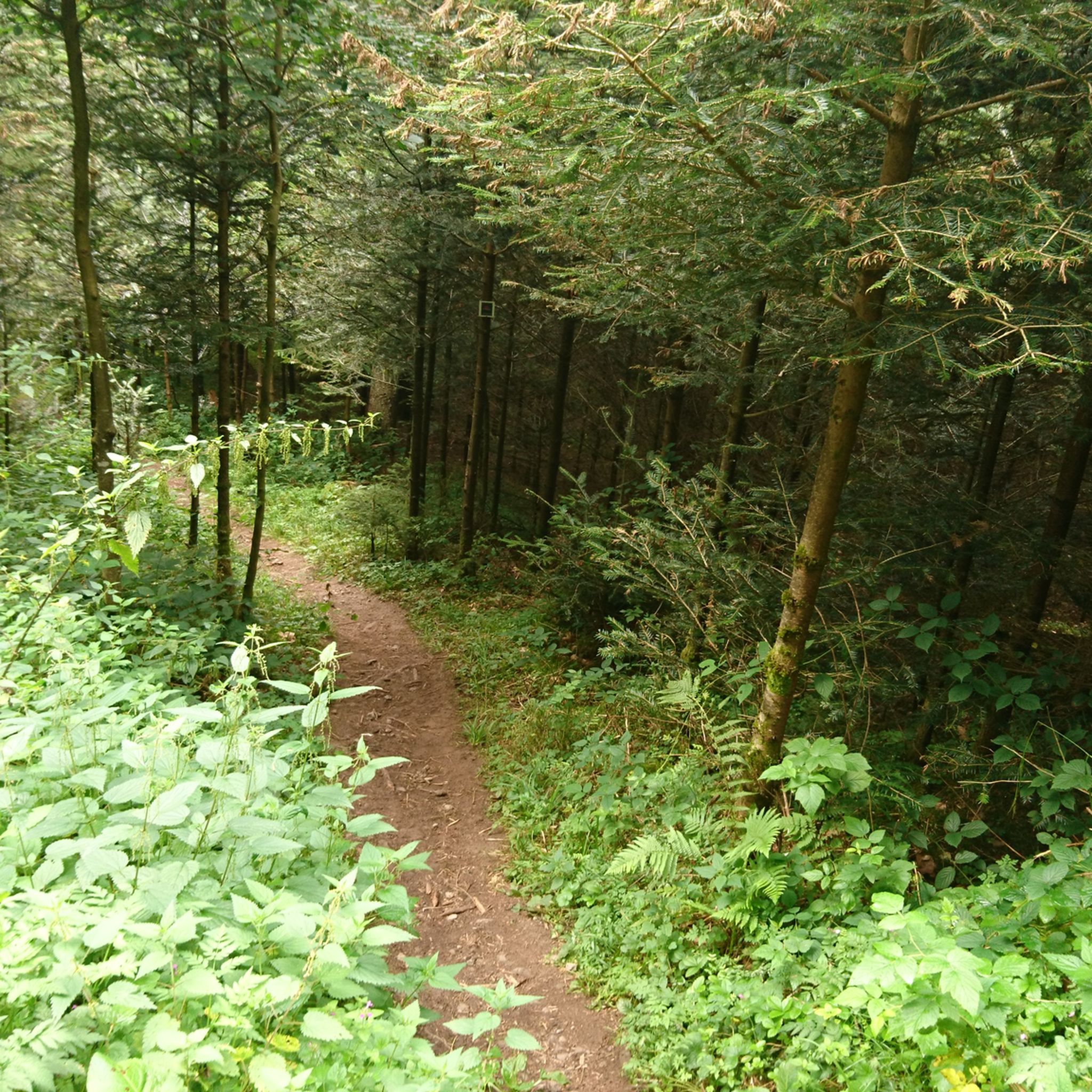
MTB Trails around Hirsau

Gravel biking around Hirsau
Cycling around Hirsau
Other adventures around Hirsau


Tips from the Community

Magnificent panoramic views over the landscape and towns on both sides of the Würm valley. To the west, the view extends to the northern Black Forest and the Nagold valley.
4
0

A beautiful nature reserve for hikers and cyclists. The Gäurandweg trail also runs through here. Several marked hiking trails, such as the Schneckenweg (Snail Trail) or Veigelesweg (Veigeles Trail), also pass through here.
9
0

Hörnle and Geißberg is a nature reserve designated by decree of the Karlsruhe Regional Council on December 30, 1993, with the number 2.176, and a landscape conservation area of the same name with the number 2.35.051. Source: https://de.wikipedia.org/wiki/H%C3%B6rnle_und_Gei%C3%9Fberg To reduce the whole thing to one point is...
0
0
From the Höhnle, at 572 meters the highest elevation in Dachtel, you can enjoy a magnificent view over the Heckengäu region. The view extends over Deufringen and Aidlingen to the Venusberg, as well as to Sindelfingen and the Glemswald forest.
4
0
Barbecue area with seating and shelter, which even has 2 trash cans!
2
0
The "Höhnle" is the highest point in the municipality of Dachtel - therefore you have a beautiful view from here, especially towards the north-west.
0
0
We're particularly fond of the juniper heath. Even the best sauerkraut doesn't taste good without juniper berries. Here, the berries are plentiful.
13
2
There is also a free hiking car park directly at Hönle, but it is not visible from the street
11
0
Frequently Asked Questions
What are some of the most scenic elevated areas or viewpoints around Hirsau?
While Hirsau is known for its hilly, wooded landscape rather than distinct peaks, several elevated spots offer magnificent views. The Höhnle Viewpoint, at 572 meters, provides panoramic vistas over the Heckengäu region. Additionally, the Venus mountain plateau offers beautiful views of the surrounding area and is part of a significant nature reserve.
Are there any nature reserves or unique natural features to explore near Hirsau?
Yes, the region boasts the Venusberg–Wolfsäcker–Besental/Halde Nature Reserve, which is the largest nature reserve in the Böblingen district. This 115-hectare area features the largest juniper heath in the district, along with diverse heath and forest landscapes on shell limestone soils, providing a rich habitat for plants and animals.
What kind of hiking trails can I find around Hirsau's elevated areas?
Hirsau offers a variety of hiking trails, ranging from moderate to challenging, often with significant elevation changes. Popular options include the 'Cult tour through Wolfsschlucht and Fuchsklinge,' a moderate 10.3 km trail through wild gorges, and the more challenging 'Schweinbachtal – Schweinbach Stepping Stones loop,' which is 16.3 km and requires good fitness. You can find more details on these and other routes in the Hiking around Hirsau guide.
Are there family-friendly mountain walks or viewpoints in the Hirsau area?
Many of the elevated areas and viewpoints around Hirsau are suitable for families. The Höhnle Viewpoint is particularly family-friendly, offering a refuge, tables, benches, and even a barbecue area. The Venus mountain area, part of a nature reserve, also provides accessible paths through its diverse landscape.
What historical sites can be found near the elevated areas of Hirsau?
The Hirsau Monastery ruins are a significant historical site that blends seamlessly with the natural surroundings. While not an elevated area itself, it's a prominent feature in the region and often incorporated into hiking routes, offering a cultural dimension to your outdoor experience.
What other outdoor activities can I do near Hirsau's mountain peaks?
Beyond hiking, Hirsau offers opportunities for other outdoor activities. You can explore various running trails through the scenic landscape or enjoy gravel biking on routes that traverse the Nagold Valley and surrounding areas.
What is the best time of year to visit Hirsau for hiking in the elevated areas?
The Hirsau region is beautiful year-round, but spring through autumn generally offers the most pleasant conditions for hiking. The diverse landscapes, including juniper heaths and dense forests, are particularly vibrant during these seasons. While winter hiking is possible, conditions can vary, so checking local weather and trail reports is advisable.
Are there any hidden gems or less-known spots among Hirsau's elevated areas?
The Wolfsschlucht (Wolf Gorge) is considered an insider tip for its wild, almost alpine character. It's part of the 'Cult tour through Wolfsschlucht and Fuchsklinge' and offers a unique, immersive experience in unspoiled nature with significant elevation changes.
What kind of wildlife might I encounter in the Hirsau mountain areas?
The nature reserves and diverse landscapes around Hirsau, particularly areas like the Venusberg–Wolfsäcker–Besental/Halde Nature Reserve, provide habitats for a variety of plants and animals. You might spot diverse bird species, insects, and smaller mammals, especially in the richly structured heath, forest, and meadow areas.
What do visitors enjoy most about the elevated areas around Hirsau?
Visitors frequently praise the diverse landscapes, the tranquility of nature, and the well-maintained hiking trails. The panoramic views from spots like the Höhnle Viewpoint, the unique character of the gorges, and the rich biodiversity of the nature reserves are often highlighted as key attractions.
Is there a highest point or specific summit to aim for in the Hirsau region?
While Hirsau doesn't have towering peaks, the Highest Point of Hohenwart reaches 544 meters above sea level, offering a beautiful path and views. The Höhnle Viewpoint is also notable as the highest elevation in Dachtel at 572 meters, providing expansive vistas.
Are there circular walks available around Hirsau's elevated areas?
Yes, many of the hiking routes in the Hirsau area are designed as circular walks, allowing you to start and end at the same point. Examples include the 'Cult tour through Wolfsschlucht and Fuchsklinge' and the 'Schweinbachtal – Schweinbach Stepping Stones loop,' both offering immersive experiences through the region's natural beauty.
Most popular routes around Hirsau
Most popular attractions around Hirsau

Get inspired with the komoot mobile app


Explore more
See even more amazing summits around Hirsau with these guides:
