The best road cycling routes in the Vulkaneifel
4.6
(578)
8,150
riders
647
rides
Road cycling in the Vulkaneifel region is characterized by its unique volcanic landscape, featuring numerous hills, maars, and river valleys. The terrain offers a mix of gentle paths along disused railway lines and rivers, alongside demanding climbs and descents across volcanic hills. Expansive woodlands and lush grasslands further define the region's diverse scenery.
Best road cycling routes in the Vulkaneifel
- The most popular road cycling route is Mosel-Maare Cycle Path – Maare-Moselle Cycle Path loop from Schalkenmehren, a 32.7…
Last updated: October 5, 2026
4.9
(15)
226
riders
Moderate road ride. Good fitness required. Some segments of this route may be unpaved and difficult to ride.
5.0
(9)
152
riders
28.0km
01:30
460m
460m
Moderate road ride. Good fitness required. Mostly well-paved surfaces and easy to ride.

4.6
(8)
122
riders
Hard road ride. Very good fitness required. Some segments of this route may be unpaved and difficult to ride.
4.0
(2)
112
riders
Hard road ride. Very good fitness required. Some segments of this route may be unpaved and difficult to ride.
4.5
(4)
113
riders
30.2km
01:26
370m
370m
Moderate road ride. Good fitness required. Mostly well-paved surfaces and easy to ride.
4.8
(9)
107
riders
51.4km
02:38
820m
820m
Moderate road ride. Good fitness required. Some segments of this route may be unpaved and difficult to ride.
3.8
(4)
87
riders
63.8km
03:19
950m
950m
Hard road ride. Very good fitness required. Some segments of this route may be unpaved and difficult to ride.
5.0
(3)
103
riders
75.2km
03:51
1,230m
1,230m
Hard road ride. Very good fitness required. Some segments of this route may be unpaved and difficult to ride.
4.4
(5)
83
riders
Moderate road ride. Good fitness required. Mostly well-paved surfaces and easy to ride.
5.0
(4)
93
riders
Moderate road ride. Good fitness required. Mostly well-paved surfaces and easy to ride.
Get access to more routes and recommendations from other explorers.
Already have an account?
Our route recommendations are based on thousands of hikes, rides, and runs completed by other people on komoot.
Start today with a free account
Your next adventure awaits.
Popular around Vulkaneifel
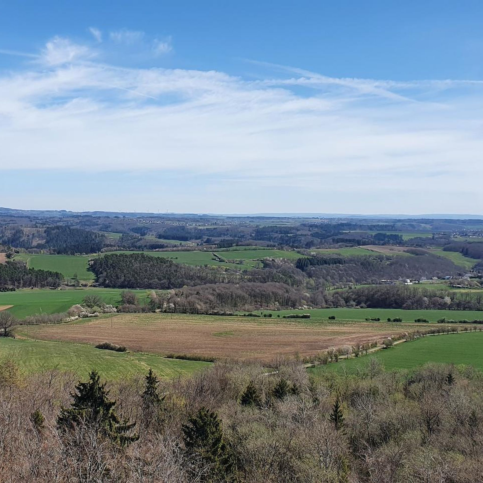
Road Cycling Routes around Steineberg

Road Cycling Routes around Kötterichen
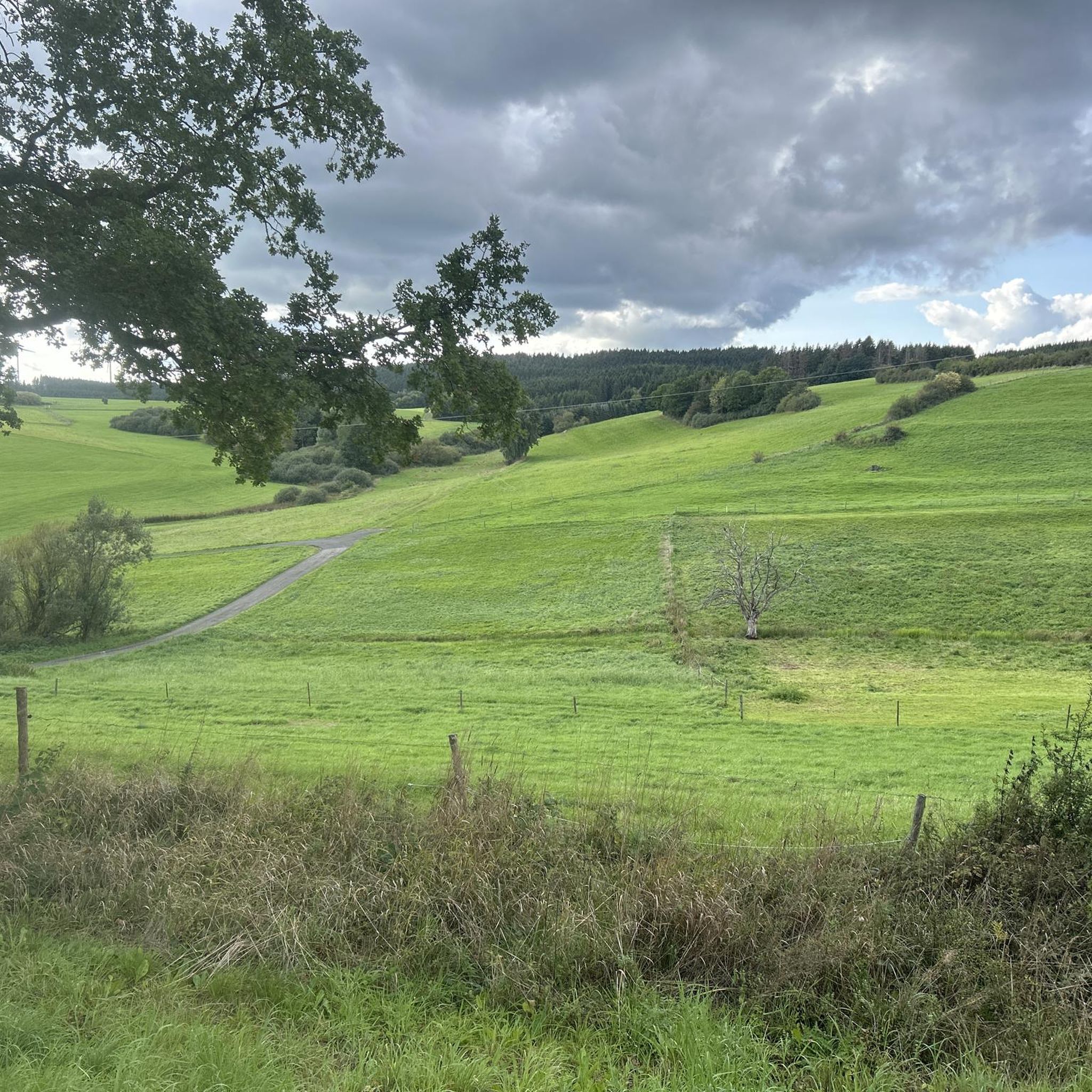
Road Cycling Routes around Ueß
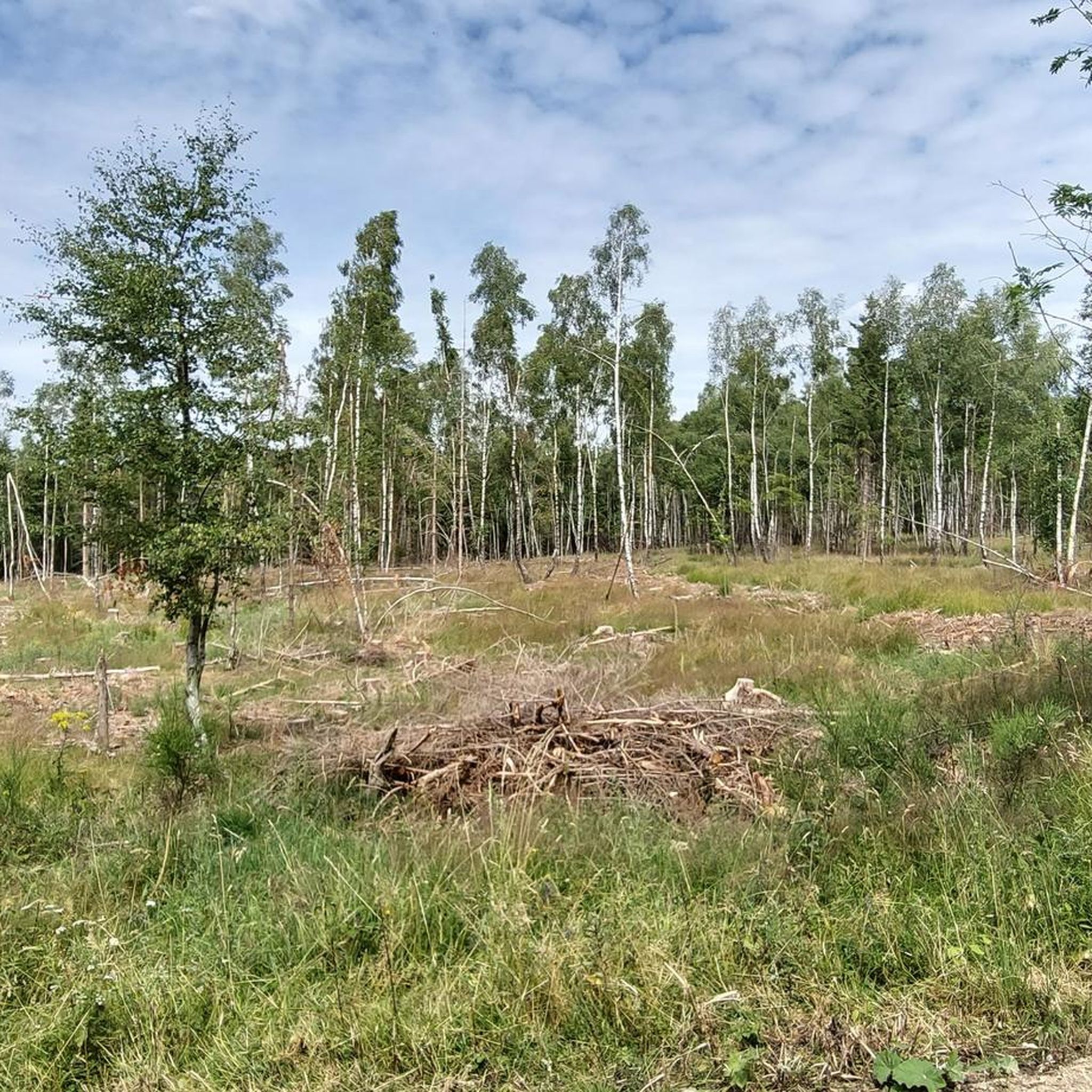
Road Cycling Routes in Forst Arenberg
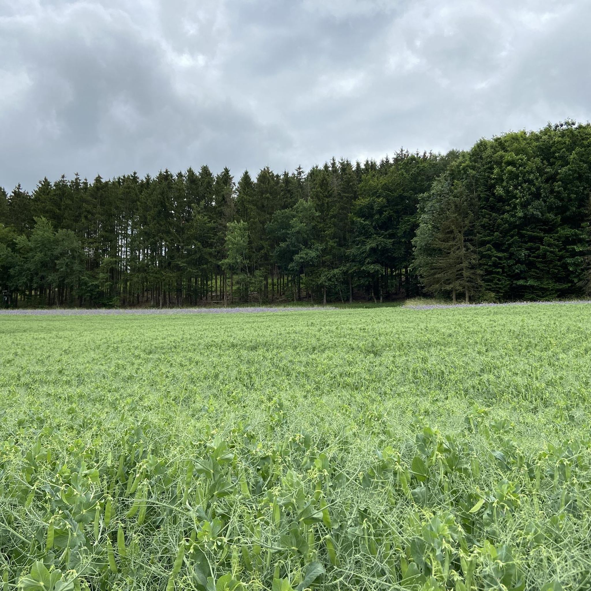
Road Cycling Routes around Utzerath
Road Cycling Routes around Sarmersbach
Road Cycling Routes around Beinhausen
Road Cycling Routes around Berenbach
Road Cycling Routes around Horperath
Road Cycling Routes around Hörschhausen
Other adventures in the Vulkaneifel


Tips from the Community

It is already an exciting place. A climbing park has even been set up here
1
0

Definitely visit the Kugelbahnen!
0
0

Nice tarmac, and don't be fooled by the profile showing it going down from Daun to Bernkastel-Kues, as the start is going up, and you'll go up from time to time. Otherwise a fun track to do with its tunnel. Be careful as the track is not superwide most of the time, and groups of cyclists tend to occupy the full width. So be ready for it when you gain speed. As everywhere in the world, the sport lycra tribes of middle aged beer bellied men thinks the road belongs to them, even here...
0
0

Built from 1860 to 1864 by Rittmeister Heinrich Joseph von Roesgen, who promised in his prayer to build this chapel if he was saved from the snowstorm.
0
0

great view of the castle
0
0
and again a great view of one of the many castles in the Moselle valley
1
0

The Mosel-Maare cycle path is very beautiful and scenically varied. Will repeat this! There is also a cycle bus which you can use to get to Daun, for example, and then ride towards the Moselle (Lieser).
0
0

Very beautiful old town with small alleys and quaint shops. There is a lot to discover here.
0
0
Frequently Asked Questions
What kind of terrain can I expect when road cycling in the Vulkaneifel?
The Vulkaneifel region offers a diverse road cycling experience, characterized by its unique volcanic landscape. You'll find a mix of gentle paths, often along disused railway lines and river valleys, as well as more demanding climbs and descents across volcanic hills. Expansive woodlands and lush grasslands add to the varied scenery.
Are there road cycling routes suitable for beginners or families in the Vulkaneifel?
Yes, the Vulkaneifel has routes suitable for all levels. For beginners and families, there are gentle paths, particularly those following former railway lines or river valleys. A great example is the Mosel-Maare Cycle Path – Maare-Moselle Cycle Path loop from Schalkenmehren, which is a moderate route that follows a former railway line.
What are some of the more challenging road cycling routes in the Vulkaneifel?
For experienced road cyclists seeking a challenge, the Vulkaneifel offers routes with significant climbs and descents. The Bremmer Calmont Vineyards – Calmont Vineyard – Steepest Vineyard in Europe loop from Gillenfeld is a difficult 52.3-mile (84.2 km) path that includes a substantial climb to the Calmont Vineyard. Other difficult routes include the Grünewald Tunnel – Großes Schlitzohr Tunnel loop from Daun and the Großes Schlitzohr Tunnel – Großes Schlitzohr Tunnel loop from Gerolstein, both featuring over 1000 meters of elevation gain.
What natural features or landmarks can I see along the road cycling routes?
The Vulkaneifel's volcanic past has created a landscape rich in natural features. You can encounter distinctive maars (explosion crater lakes) like the Schalkenmehrener Maar, which you can view from the View of the Gemünden maar. The region also features numerous volcanic peaks, forests, and river valleys. For panoramic views, consider visiting the Dronke Tower on the Mäuseberg.
Are there any historical sites or castles accessible by road bike?
Yes, the Vulkaneifel region is home to several historical sites and castles. You might pass by the Kerpen Castle (Eifel) or the Freudenkoppe Castle Ruins, which sits on a basalt cone. The View of the Kasselburg also offers a glimpse of a historic fortress.
How many road cycling routes are available in the Vulkaneifel?
There are over 660 road cycling routes available in the Vulkaneifel region on komoot, catering to various skill levels. This includes approximately 37 easy routes, 342 moderate routes, and 282 difficult routes.
What do other cyclists say about road cycling in the Vulkaneifel?
The road cycling routes in the Vulkaneifel are highly rated by the komoot community, with an average score of 4.6 stars from over 460 reviews. Cyclists often praise the region's varied terrain, the unique volcanic scenery, and the well-maintained paths that offer both leisurely rides and challenging athletic endeavors.
Is public transport available to access road cycling routes in the Vulkaneifel?
Yes, the Vulkaneifel region offers public transport options that can assist cyclists. The RegioRadler "Bike & Bus" service is particularly useful, transporting cyclists and their bikes, especially from the Moselle up to the Eifel, making it easier to tackle more arduous sections or connect different routes.
Are there any circular road cycling routes in the Vulkaneifel?
Many of the road cycling routes in the Vulkaneifel are designed as loops, allowing you to start and end at the same point. For instance, the Swan Pond, Blankenheim – View of Blankenheim Castle loop from Esch is a moderate circular route, and the Kyll River Path in Gerolstein – Kyll Cycle Path near Lissingen loop from Birresborn also offers a circular experience along the river valley.
What is the best time of year for road biking in the Vulkaneifel?
The Vulkaneifel is generally enjoyable for road cycling from spring through autumn. The warmer months offer pleasant temperatures and lush scenery. However, due to the varied terrain and elevation, it's always advisable to check the local weather forecast before heading out, especially during shoulder seasons.
Can I find routes that follow river valleys in the Vulkaneifel?
Absolutely. The Vulkaneifel is crisscrossed by several stream valleys, such as the Kyll, Salm, and Lieser, which provide excellent opportunities for road cycling along rivers. The Kyll River Path in Gerolstein – Kyll Cycle Path near Lissingen loop from Birresborn is a popular moderate route that leads through the scenic Kyll River valley.
Most popular routes in the Vulkaneifel
Most popular attractions in the Vulkaneifel

Get inspired with the komoot mobile app


Didn’t find what you were looking for?
Check out more Road cycling routes throughout Vulkaneifel below and find the perfect route in your destination.
Explore more
Browse the best Road cycling routes in other regions.
