The best running trails around Mesilla
5.0
(1)
37
runners
9
runs
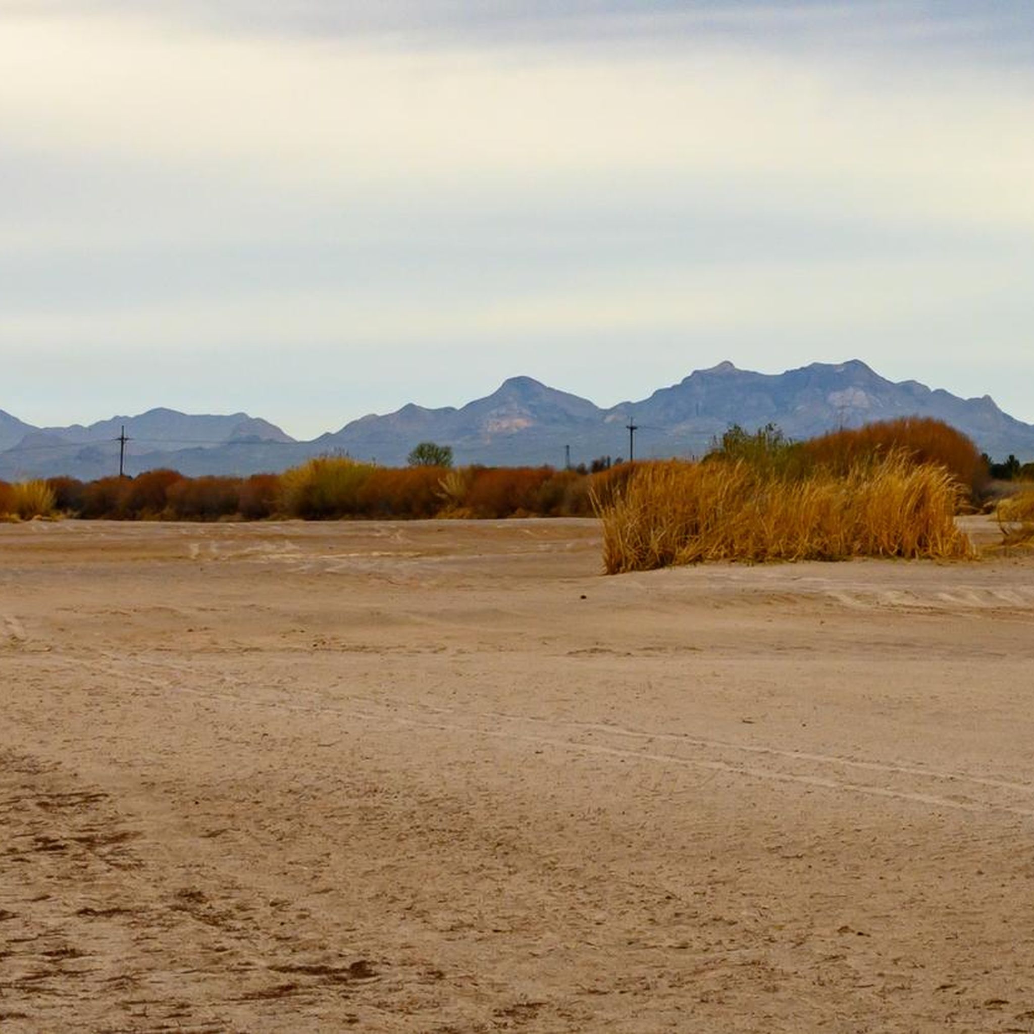
Jogging around Mesilla offers access to a network of trails set within a diverse landscape. The region is characterized by the Rio Grande, its riparian wetlands, and surrounding desert scrub. Many routes feature flat terrain, providing accessible running options, while others include moderate elevation changes. Distant views of the Organ mountains are a common feature on many trails.
Best jogging routes around Mesilla
- The most popular jogging route is Las Cruces Dam loop from Veteran's Park, an 8.98 miles…
Last updated: June 26, 2026
10
runners
7.35km
00:46
20m
20m
Moderate run. Good fitness required. Mostly paved surfaces. Suitable for all skill levels.
7
runners
4.93km
00:30
0m
0m
Easy run. Great for any fitness level. Mostly paved surfaces. Suitable for all skill levels.

Sign up for free
5
runners
4.22km
00:36
210m
210m
Moderate run. Good fitness required. Mostly paved surfaces. Suitable for all skill levels.
3
runners
5.36km
00:33
30m
30m
Moderate run. Good fitness required. Mostly paved surfaces. Suitable for all skill levels.
5.0
(1)
4
runners
11.5km
01:12
50m
50m
Moderate run. Good fitness required. Mostly paved surfaces. Suitable for all skill levels.
Get access to more routes and recommendations from other explorers.
Sign up for free
Already have an account?
Our route recommendations are based on thousands of hikes, rides, and runs completed by other people on komoot.
Start today with a free account
Your next adventure awaits.
Login or Signup
Popular around Mesilla


Tips from the Community

A visit to IHOP Las Cruces is worthwhile for the good pancakes.
0
0
The Organ Mountains (Organ Mountains, also known as La Sierra de los Órganos) are a rugged mountain range in southern New Mexico in the southwestern United States. Organ Mountains-Desert Peaks National Monument was designated a National Monument on May 21, 2014. They are located 16 km east of the city of Las Cruces in the district of Doña Ana. The Organ Mountains are located at the southern end of a long mountain range on the east side of the Rio Grande's Rift Valley. The mountain range almost borders the San Andres Mountains to the north and the Franklin Mountains to the south, but is geologically very different. While the San Andres and Franklin Mountains are both formed from west-dipping fault blocks of mostly sedimentary strata (limestone being the most prominent), the Organ Mountains are composed primarily of igneous rocks (intrusive granite and extrusive rhyolite).
0
0
The Las Cruces Dam was constructed in 1975 by the U.S. Army Corps of Engineers to reduce flood damage from rivers originating in the Las Cruces and Alameda Arroyos. Historically, the Las Cruces and Alameda Arroyos meandered through the area, providing invaluable riparian areas in the Chihuahuan Desert landscape. The Chihuahuan Desert is considered one of the most biologically diverse ecoregions in the world. The dam had a detrimental impact on the historic community as it terminated the arroyos' historic river routes and eliminated wetlands and riparian habitats. The project is located in the Las Cruces Dam flood basin in the City of Las Cruces, Dona Ana County, NM. The Las Cruces Dam is located just east of Interstate 25 on the east side of the city. The project consists of the construction of a 3/4 acre permanent wetland and a 3/4 acre seasonal wet meadow with wetland vegetation, with reclaimed
0
0
Frequently Asked Questions
How many running routes are available in Mesilla?
There are over 10 dedicated running routes around Mesilla, offering a variety of experiences for joggers. These paths are highly rated by the komoot community, with an average score of 5.0 stars.
Are there easy running paths for beginners or casual joggers in Mesilla?
Yes, Mesilla offers routes suitable for beginners. For an easy and accessible run, consider the Running loop from Mesilla, which covers about 4.9 km with minimal elevation changes. The Mesilla Valley Bosque State Park also features very flat trails like the Upland Trail and Resaca Trail, perfect for an easy jog amidst nature.
What kind of terrain can I expect on jogging routes around Mesilla?
Jogging routes in Mesilla feature diverse terrain. Many paths, especially those along the Rio Grande and multi-use trails, offer relatively flat surfaces, including paved options and crushed stone. However, some routes, like the Tortugas Mountain loop from Tortugas Mountain Observatory, include moderate elevation changes, providing a more challenging experience. You'll encounter riverine bosque, desert scrub, and open landscapes.
Are there any running routes that offer scenic views or natural features?
Absolutely. Many routes provide stunning views. The Mesilla Valley Bosque State Park offers an up-close view of the Rio Grande and its natural surroundings, with opportunities to see wildlife. From a slight elevation within the park, you can enjoy a beautiful 360-degree panoramic view of the Organ Mountains to the east. The Sonoma Ranch Bike Trail, while primarily for biking, also offers scenic vistas parallel to Sonoma Ranch Blvd.
Can I bring my dog on the running trails in Mesilla?
Mesilla and the surrounding Las Cruces area generally offer dog-friendly trails. Many multi-use paths and natural areas welcome leashed dogs. Always check specific park regulations, such as those for Mesilla Valley Bosque State Park, to ensure compliance. Remember to bring water for your pet and clean up after them.
Are there any circular running routes in the Mesilla area?
Yes, several circular routes are available for runners who prefer to start and end in the same location. The Running loop from Mesilla is an easy option. For a more challenging loop with significant elevation gain, consider the Tortugas Mountain loop from Tortugas Mountain Observatory.
What kind of wildlife might I encounter while running in Mesilla?
The diverse ecosystems around Mesilla, particularly in Mesilla Valley Bosque State Park, are home to various wildlife. Joggers might spot deer, javelina, coyotes, and a wide array of birds, as the park is an Important Birding Area. Box turtles and even bobcats have also been observed, adding an engaging element to your run.
Are there any long-distance running options in Mesilla?
While many routes are moderate in length, the region offers options for longer runs by connecting various multi-use paths. The Rio Grande River Trail, for instance, provides an 11.9-mile stretch suitable for sustained runs. You can also combine segments of paths like the La Llorona, Sonoma Ranch, and Triviz Multi-Use Paths to create extended distances.
What is the best time of year for running in Mesilla?
Mesilla offers good running conditions for much of the year. Spring and fall generally provide pleasant temperatures, making them ideal for outdoor activities. Summers can be hot, so early morning or late evening runs are recommended during these months. Winters are typically mild, allowing for comfortable running, though it's always wise to check local weather forecasts.
Are there family-friendly jogging paths in Mesilla?
Yes, many of Mesilla's trails are suitable for families. The flat and well-maintained paths within Mesilla Valley Bosque State Park, such as the Upland Trail and Resaca Trail, are excellent choices for families with children. Multi-use paths like the Alameda Arroyo Trail, with its paved and adjacent crushed stone options, also provide accessible and safe environments for family jogs.
Where can I find parking for running trails in Mesilla?
Parking is generally available at trailheads and access points for many of Mesilla's running routes. For example, the Tortugas Mountain loop starts from the Tortugas Mountain Observatory, which typically has parking. Multi-use paths often have designated parking areas nearby, and parks like Mesilla Valley Bosque State Park provide visitor parking. It's always a good idea to check specific route details for the most convenient parking locations.
Most popular routes around Mesilla

Get inspired with the komoot mobile app


Explore more
Browse the best Running Trails & Routes in other regions.
