The best running trails around Edgewood
9
runners
3
runs
Jogging routes around Edgewood offer a variety of terrain, from moderate paths to more challenging trails with significant elevation changes. The region features routes that traverse hills and open spaces, providing diverse running experiences. These trails often lead through areas with varied topography, including ascents and descents that test endurance. The landscape provides a natural setting for runners seeking both shorter, quicker runs and longer, more demanding efforts.
Best jogging routes around Edgewood
- The most popular jogging route is Palomas…
Last updated: July 6, 2026
1
runners
4.84km
00:42
190m
190m
Moderate run. Good fitness required. Mostly paved surfaces. Suitable for all skill levels.
12.7km
01:33
180m
190m
Moderate run. Good fitness required. Mostly paved surfaces. Suitable for all skill levels.

Sign up for free
5.29km
00:42
130m
130m
Hard run. Good fitness required. Sure-footedness, sturdy shoes and alpine experience required.
3
runners
5.43km
00:43
130m
130m
Hard run. Good fitness required. Sure-footedness, sturdy shoes and alpine experience required.
5
runners
16.7km
02:36
510m
510m
Hard run. Very good fitness required. Sure-footedness, sturdy shoes and alpine experience required.
Our route recommendations are based on thousands of hikes, rides, and runs completed by other people on komoot.
Start today with a free account
Your next adventure awaits.
Login or Signup
Popular around Edgewood

Tips from the Community

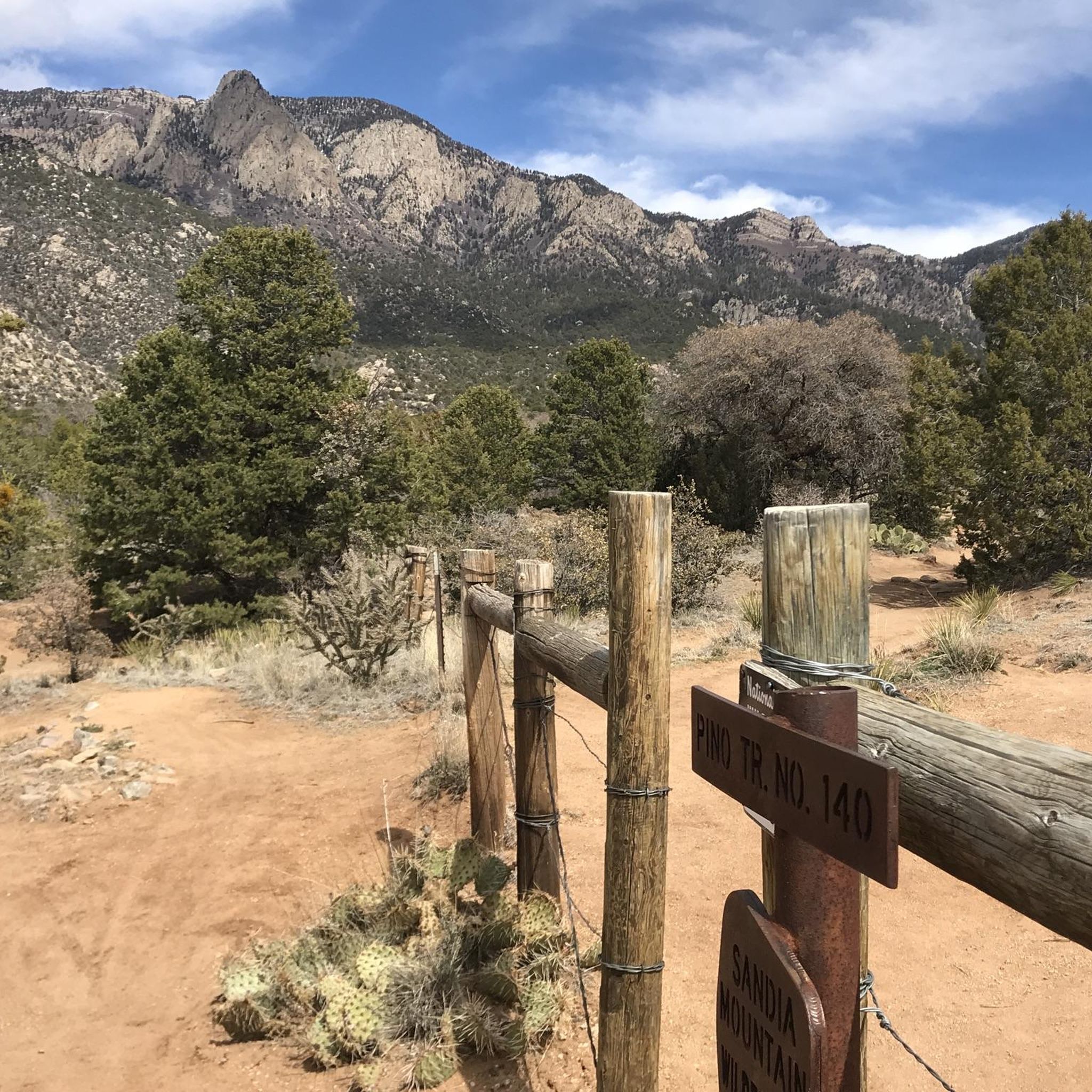
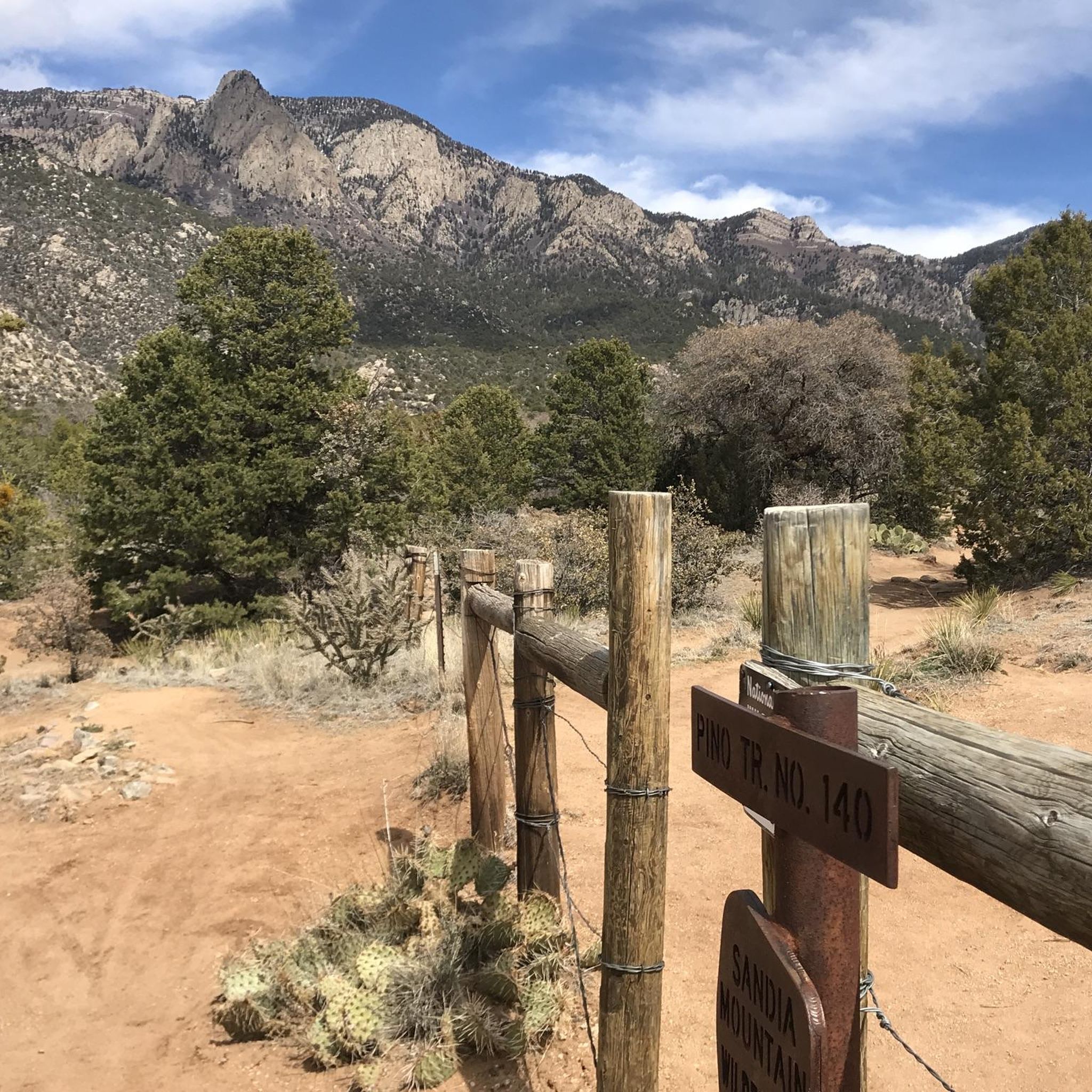
The Capulin Trail leads runners to Capulin Peak, sitting at an elevation of 8934 feet. Continue past the peak to where the Capulin Trail ends, at a viewpoint overlooking the north side of the Cibola National Forest. There is plenty of parking at the Capulin Picnic Ground.
0
0
Palomas Peak stands at an elevation of 8685 feet above sea level and can be reached by the Palomas Peak Trail. The trail is well marked, and the ascent to the peak is gradual. The fall colors up here can be very nice, and there is a natural rock chair halfway through the trail that is great for a break. This mountain is also a popular rock climbing spot.
0
0
Golden Open Space is 180 acres in size and is a preserve around two mesas. The trails here are open to bikers and hikers. Visitors loop around gray and yellow sandstone, limestone and mudstone, low bushes and small trees, and a few nice viewpoints of this green space.
0
0
Golden Open Space is 180 acres in size and is a preserve around two mesas. The trails here are open to bikers and hikers, and the trails meander around gray and yellow sandstone, limestone and mudstone, low bushes and small trees, and a few nice viewpoints of this green space.
0
0

The Sandia Peak Tramway is the longest aerial tramway in the Americas, and it used to be the longest one is the world until recently. It connects the city of Albuquerque with the Sandia Peak. At the top of the tramway, there is a restaurant, TEN 3, which offers great ganoramic views.
0
0
Frequently Asked Questions
How many running routes are available in Edgewood?
Komoot features over 5 running routes in the Edgewood area. These routes vary in length and difficulty, offering options for different fitness levels and preferences.
What is the best time of year to go jogging in Edgewood?
The spring, typically from March through June, is an exceptional time for running in Edgewood. The serpentine grasslands of Edgewood Park and Natural Preserve are famous for their magnificent displays of wildflowers, making for a particularly scenic experience.
Are there any easy or beginner-friendly running trails in Edgewood?
While many routes in Edgewood feature varied topography and elevation changes, some trails within Edgewood Park and Natural Preserve are considered easy to moderate. The Sylvan Trail is noted as a non-equestrian trail popular with both hikers and joggers, offering a good option for those seeking a less strenuous run.
Are there any circular jogging routes in Edgewood?
Yes, Edgewood offers circular running options. For instance, the Golden Open Space loop trail run is a moderate 7.9-mile path that winds through open spaces with gradual elevation changes, perfect for a longer loop.
What kind of views can I expect along the running paths in Edgewood?
Joggers in Edgewood can enjoy outstanding vistas. From the main ridge, known as Inspiration Heights, you can see Skyline Ridge, Huddart Park, the San Andreas Gulf Zone, Crystal Springs Lakes, and the San Francisco Bay, providing a stunning backdrop to your run.
Are dogs allowed on the jogging routes in Edgewood?
Edgewood Park and Natural Preserve, a primary running destination in the area, generally has restrictions regarding dogs on trails to protect its diverse wildlife and sensitive habitats. It's always best to check the specific park regulations before bringing your dog.
Are there family-friendly running routes in Edgewood?
Many trails within Edgewood Park and Natural Preserve are suitable for families, especially those that are easy to moderate. The park also offers educational walks and a visitor center, which can enhance a family outing alongside a run.
Where can I find parking for the running trails in Edgewood?
For Edgewood Park and Natural Preserve, parking is typically available near the main entrances. The Bill and Jean Lane Education Center, located near a park entrance, serves as a good landmark and often has associated parking facilities.
What are some of the natural features I might encounter while running in Edgewood?
Edgewood boasts diverse habitats including woodlands, grasslands, chaparral, and unique serpentine rock formations. You'll also find cool, wooded gullies rich in ferns and mosses, and a variety of wildlife such as deer, coyotes, bobcats, and numerous bird species.
How long are the running trails in Edgewood?
The running trails in Edgewood vary in length. For example, the Palomas Peak Trail is about 3.0 miles (4.8 km), while the Golden Open Space loop trail run extends to 7.9 miles (12.7 km), offering options for both shorter and longer runs.
What is the difficulty level of running routes in Edgewood?
Edgewood offers a range of difficulty levels. While some trails are moderate, like the Palomas Peak Trail, others, such as the Capulin Peak Trail, are considered difficult due to varied terrain and significant elevation changes. This variety caters to different running abilities.
Are there any educational opportunities or centers near the running trails?
Yes, the Bill and Jean Lane Education Center is located near the entrance of Edgewood Park and Natural Preserve. It provides educational and research activities, and promotes community involvement in preserving Edgewood's natural resources, making it a great stop before or after your run.
Most popular routes around Edgewood

Get inspired with the komoot mobile app


Explore more
Browse the best Running Trails & Routes in other regions.
