The best walks and hikes around Eilsleben
4.6
(1050)
3,083
hikers
24
hikes
Hiking around Eilsleben offers diverse landscapes characterized by serene forests, open fields, and gentle river valleys. The region provides a scenic backdrop for outdoor pursuits, with trails often integrating historic sites. While Eilsleben itself features idyllic surroundings, its location in Saxony-Anhalt provides access to broader natural areas, including the nearby Harz Mountains and the Green Belt. The terrain generally includes varied forests, meadows, and small brooks, suitable for a range of hiking experiences.
Best hiking trails around Eilsleben
- The most…
Last updated: June 26, 2026
15
hikers
Moderate hike. Good fitness required. Easily-accessible paths. Suitable for all skill levels.
5.0
(1)
9
hikers
Easy hike. Great for any fitness level. Easily-accessible paths. Suitable for all skill levels.

Sign up for free
8
hikers
Moderate hike. Good fitness required. Easily-accessible paths. Suitable for all skill levels.
4.0
(1)
7
hikers
6.28km
01:37
30m
30m
Easy hike. Great for any fitness level. Easily-accessible paths. Suitable for all skill levels.
4.0
(2)
3
hikers
11.6km
03:05
120m
120m
Moderate hike. Good fitness required. Easily-accessible paths. Suitable for all skill levels.
Get access to more routes and recommendations from other explorers.
Sign up for free
Already have an account?
Our route recommendations are based on thousands of hikes, rides, and runs completed by other people on komoot.
Start today with a free account
Your next adventure awaits.
Login or Signup
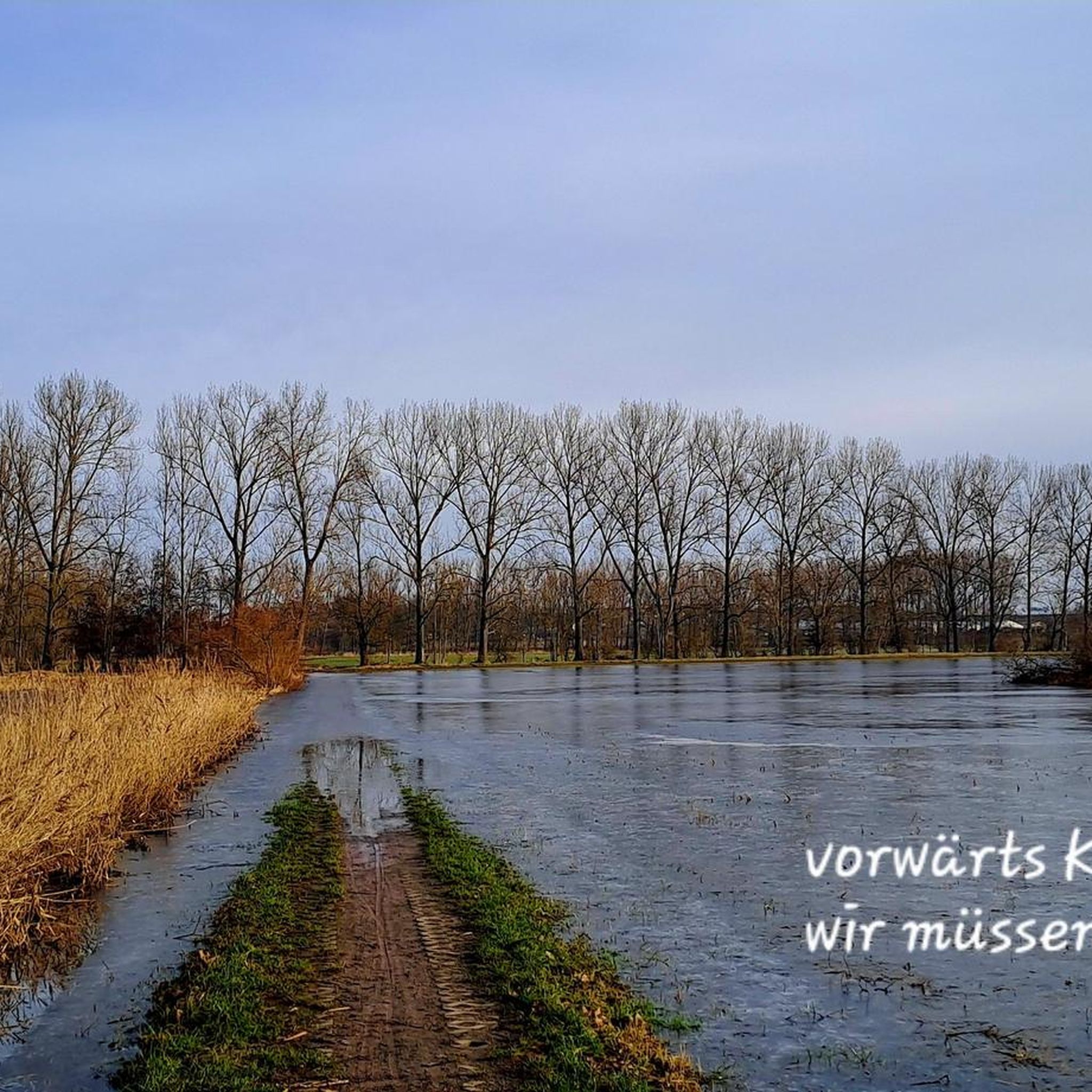
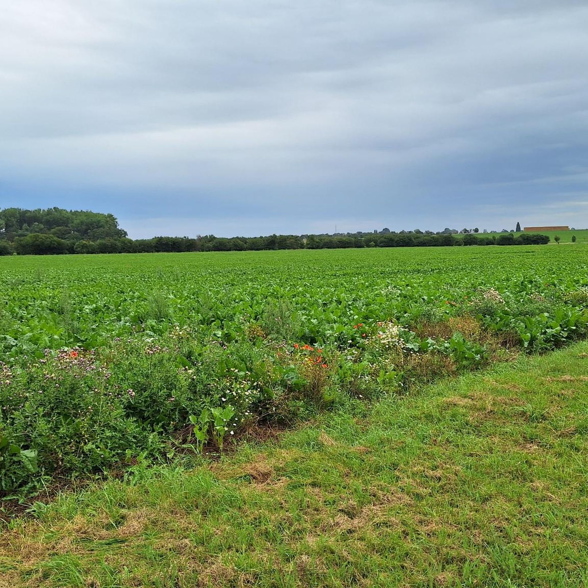
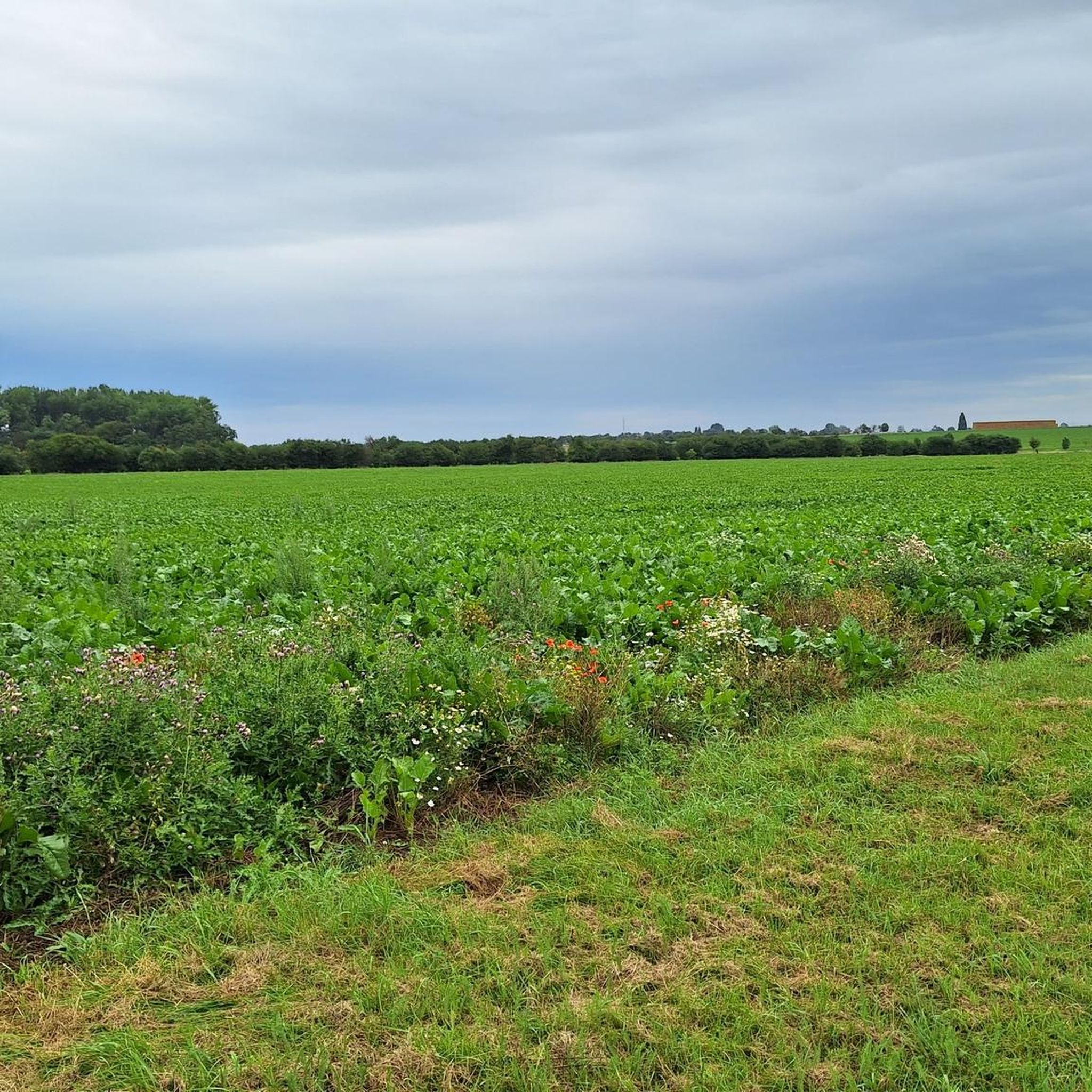

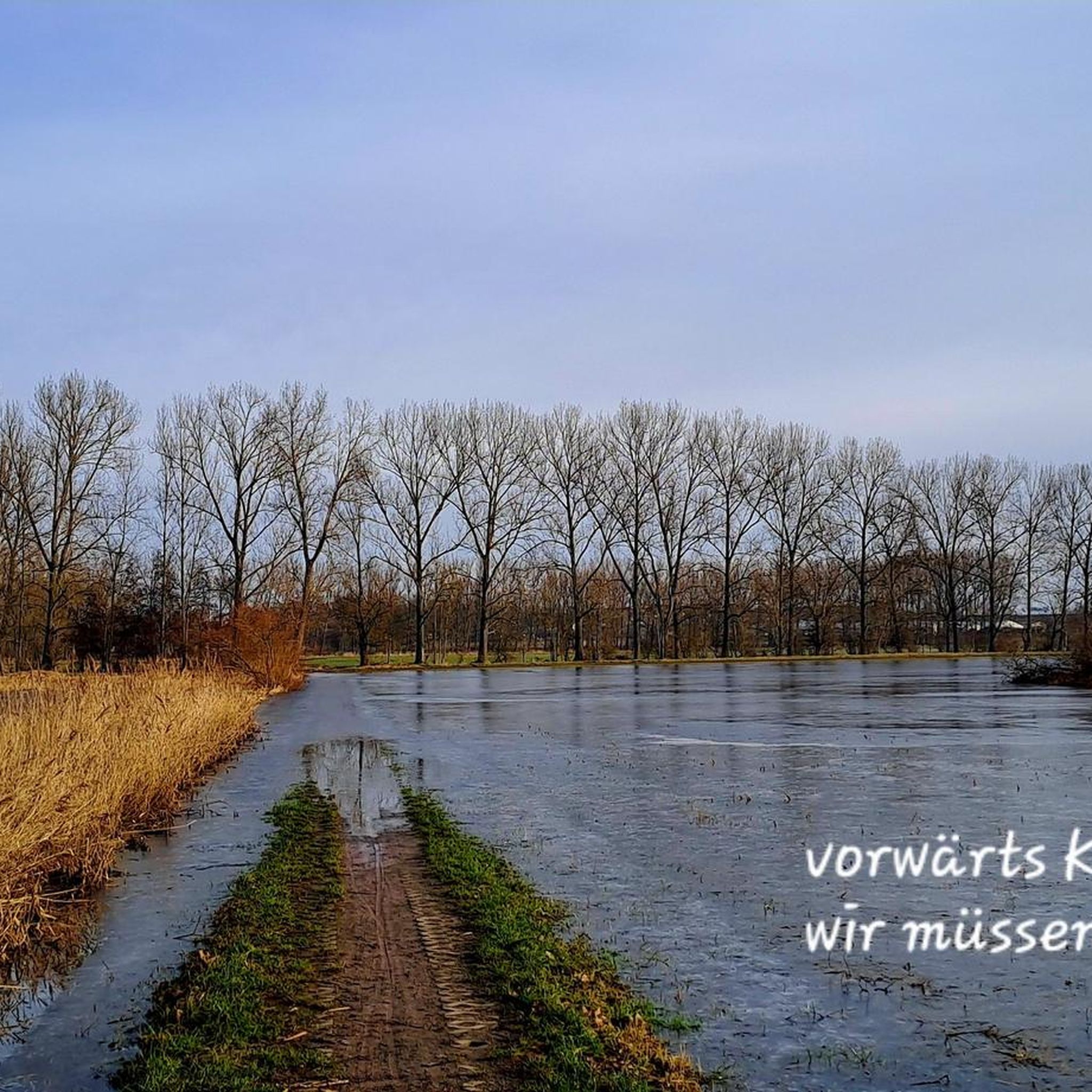
Tips from the Community

rest area with shelter and beautiful view
1
0

Beautiful new cycle path
0
1

Easily accessible path through the nature reserve.
1
0
Suitable for a short break or protection from the rain, but otherwise not very comfortable.
1
0

Special stamp office of the Harz hiking pin
1
0

A new break bench with a trash can at the intersection.
0
0

Stamp point and break area (still under construction)
1
0
The oldest part of the church is the late Gothic tower from 1505 , which burned down in 1813 . The fire left only the foundations standing, even the bells melted in the heat of the fire.
1
0
Frequently Asked Questions
How many hiking trails are available around Eilsleben?
Eilsleben offers a good selection of hiking routes, with over 25 trails available. These include 16 easy routes and 10 moderate routes, providing options for various fitness levels.
What is the general difficulty level of hiking trails in Eilsleben?
The hiking trails around Eilsleben are generally considered easy to moderate. The terrain is characterized by gentle river landscapes, open fields, and accessible forests, making it suitable for a wide range of hikers, from beginners to those looking for a moderate excursion.
Are there family-friendly hiking options in Eilsleben?
Yes, Eilsleben is well-suited for family hikes. Many trails are easy and feature gentle terrain through fields and forests. An example of an easy route is the Menhir of Eilsleben – St. Lorenz Church loop from Eilsleben, which is 3.0 miles (4.9 km) long and leads past historic sites.
What kind of natural features can I expect to see while hiking in Eilsleben?
Hikers in Eilsleben will encounter idyllic natural settings, including serene forests, open fields, and gentle river valleys. The wider region also offers access to diverse landscapes, such as the nearby Harz Mountains with their deep forests and high moors, and the historic Green Belt, which traces the former inner-German border through forests and meadows.
Are there any interesting landmarks or historical sites along the hiking trails?
Yes, several trails integrate culturally significant attractions. You can explore sites like the Zuckerecke Rest Area or the Streckenplatz Shelter. Further afield, the Gedenkstätte Deutsche Teilung Marienborn (German Division Memorial Marienborn) and Schloss Altenhausen (Altenhausen Castle) are notable historical sites accessible via hiking routes in their surroundings. The legendary Räuberhöhle Harbke (Harbke Robber's Cave) is also situated within a picturesque forest.
What do other hikers enjoy most about hiking in Eilsleben?
The hiking experience in Eilsleben is highly rated by the komoot community, with an average score of 4.6 stars from over 900 reviews. Hikers often praise the varied terrain, the integration of historic sites, and the accessible nature of the trails, which combine natural beauty with opportunities for historical discovery.
Are there circular hiking routes around Eilsleben?
Yes, many of the hiking routes around Eilsleben are circular, offering convenient starting and ending points. For example, the Menhir of Eilsleben – View of the Old Water Tower loop from Eilsleben is a popular circular trail that provides views of local landmarks and the surrounding countryside.
What is the best time of year to go hiking in Eilsleben?
Summer is generally considered an ideal time to visit Eilsleben for outdoor activities, including hiking. The region's idyllic natural setting is particularly enjoyable during warmer months. However, the varied forests and meadows offer scenic beauty throughout spring and autumn as well.
Are there any lakes or water features to see on hikes near Eilsleben?
Yes, the region features several lakes and water features. You can find highlights such as Himmelsteich Sommerschenburg, Anna Lake, and Seehäuser Lake. The Birch Spring is another notable water feature in the area.
Can I find trails that connect villages or offer views of rural landscapes?
Absolutely. Many trails in Eilsleben wind through rural landscapes and connect charming villages. The Wormsdorf village church – View of the Old Water Tower loop from Wormsdorf is a great example, connecting village churches with scenic viewpoints over 5.2 miles (8.3 km).
Are there opportunities for more challenging hikes near Eilsleben?
While Eilsleben itself offers mostly easy to moderate trails, its location in Saxony-Anhalt provides access to broader, more rugged natural areas. The Harz Mountains, Northern Germany's highest low mountain range, are within reach, offering deep forests, steep climbs, and challenging treks like the 97-kilometer Harzer-Hexen-Stieg for those seeking more demanding experiences.
Where can I find information about hiking in the broader Saxony-Anhalt region?
For more information about hiking opportunities and highlights in the wider Saxony-Anhalt region, you can visit the official tourism website: saxony-anhalt-tourism.com.
Most popular routes around Eilsleben
Most popular attractions around Eilsleben

Get inspired with the komoot mobile app


Explore more
Browse the best Hikes in other regions.
