The best road cycling routes around Eisenbach
4.5
(484)
6,385
riders
94
rides
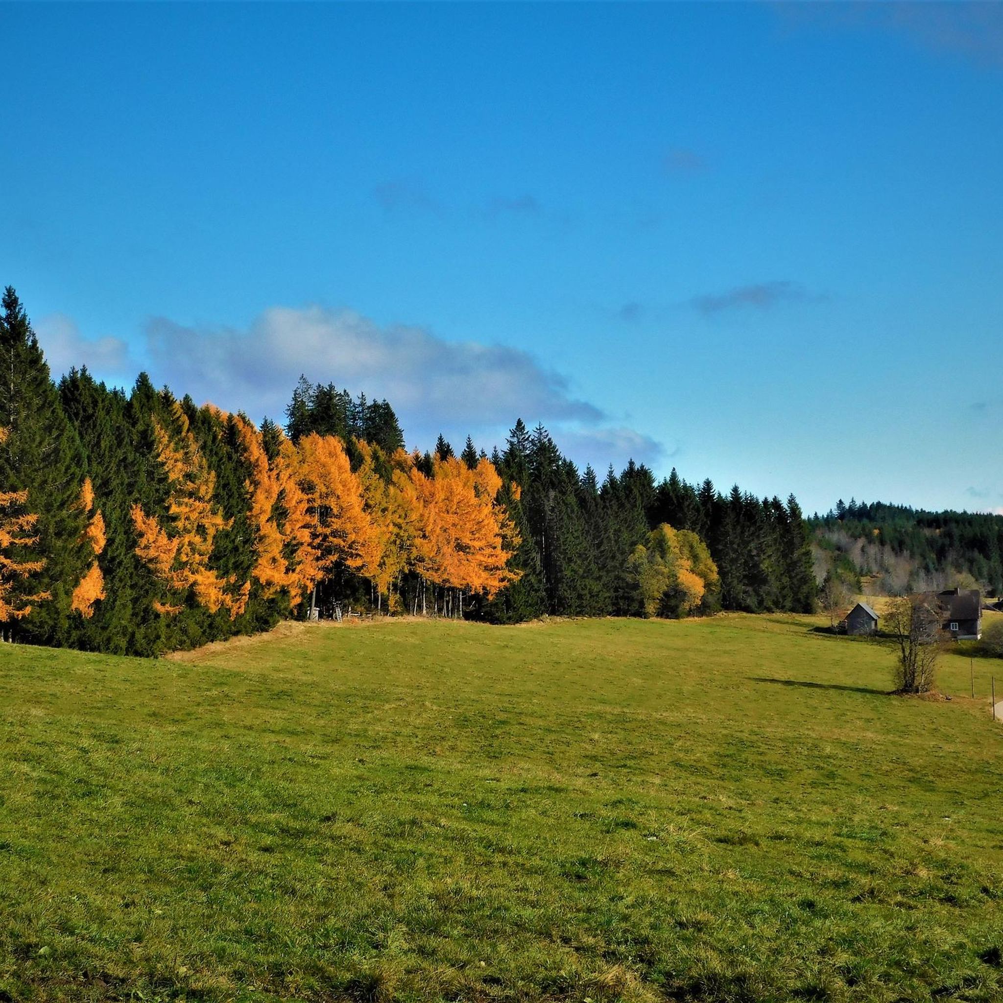
Road cycling around Eisenbach is set within the Hochschwarzwald region of Germany, characterized by its diverse landscapes and varied terrain. Situated at altitudes between 800 and 1130 meters, the area features rolling hills, scenic valleys, and lush Black Forest scenery. Elevated points offer distant views of the Alps, while the Bregtal valley provides varied topography for road cyclists. This environment offers challenging and scenic road cycling routes with significant elevation changes.
Best road cycling routes around Eisenbach
- The most popular…
Last updated: October 8, 2026
4.4
(5)
42
riders
19.0km
00:54
260m
260m
Easy road ride. Great for any fitness level. Mostly well-paved surfaces and easy to ride.
5.0
(3)
32
riders
57.4km
03:26
1,430m
1,430m
Hard road ride. Very good fitness required. Mostly well-paved surfaces and easy to ride.

5.0
(1)
26
riders
Hard road ride. Very good fitness required. Mostly well-paved surfaces and easy to ride.
5.0
(2)
33
riders
Easy road ride. Great for any fitness level. Mostly well-paved surfaces and easy to ride.
4.0
(2)
21
riders
19.1km
00:54
240m
240m
Easy road ride. Great for any fitness level. Mostly well-paved surfaces and easy to ride.
Get access to more routes and recommendations from other explorers.
Already have an account?
Our route recommendations are based on thousands of hikes, rides, and runs completed by other people on komoot.
Start today with a free account
Your next adventure awaits.
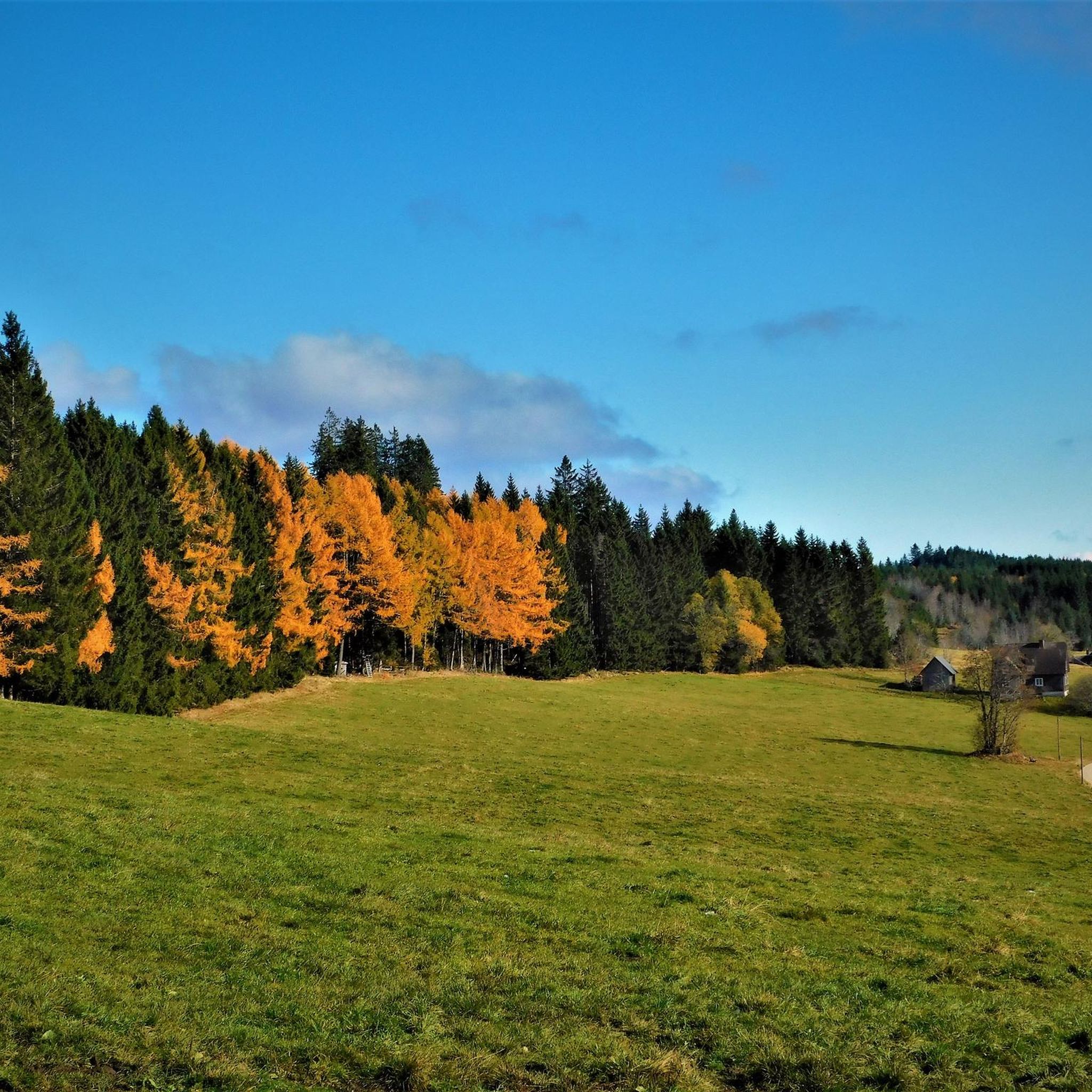
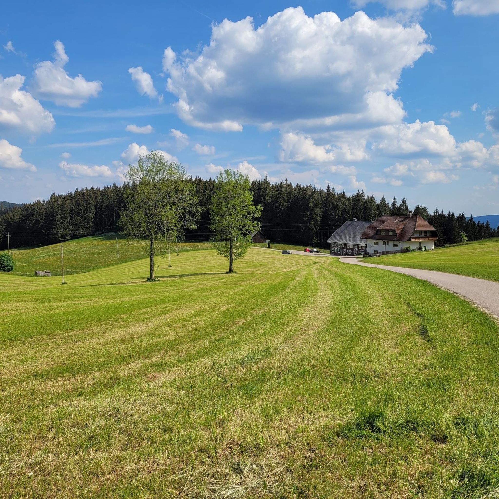
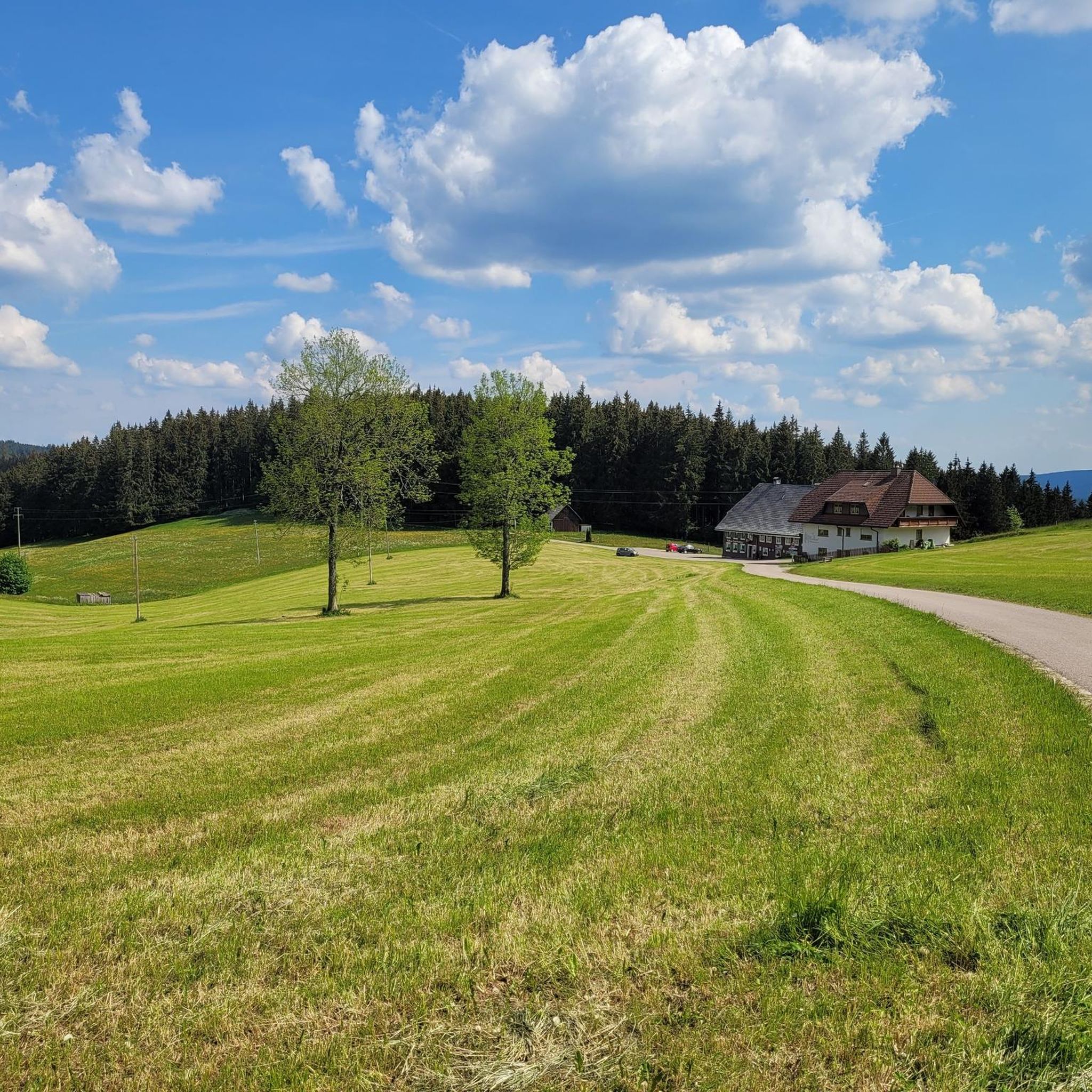
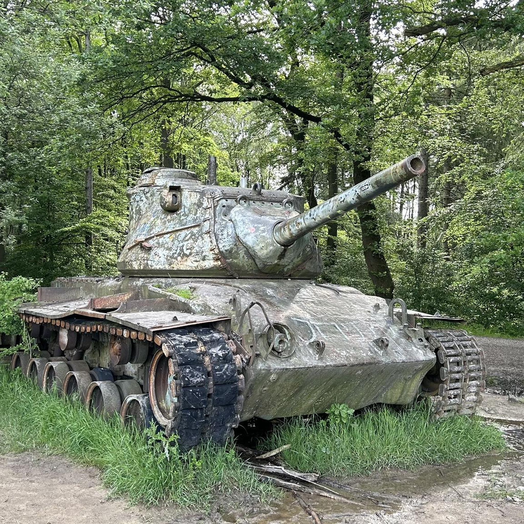
Tips from the Community

The area is ideal for hiking and cycling
3
0
The chapel is idyllically situated
5
0

Very pleasant, traffic-calmed ascent to Schwärzenbach
1
0

very nice staff and the food was amazing👌🏻
0
0

The village center of Waldau, with barely 400 inhabitants, lies in the upper Langenordnach valley at an altitude of approximately 950 meters. This 900-year-old village, originally independent, is now part of Titisee-Neustadt. The very first Black Forest clock was made here in 1664. Clockmaking in Waldau grew in importance until the 19th century, with more than 60 clockmakers and almost 20 merchants based there.
0
0

Delicious cake at the Landhotel Fuchs is always a good idea.
1
0
Beautiful little cycle path, away from traffic
0
0

#dasistschwarzwakd
0
0
Frequently Asked Questions
How many road cycling routes are available around Eisenbach?
Eisenbach offers a wide selection of road cycling routes, with over 130 tours available. These routes cater to various skill levels, including easy, moderate, and difficult options.
What kind of terrain can I expect when road cycling in Eisenbach?
Road cycling in Eisenbach, situated in the Hochschwarzwald, features diverse terrain. You'll encounter rolling hills, scenic valleys, and lush Black Forest scenery. The altitude, ranging from 800 to 1130 meters, means routes often include significant elevation changes, providing both challenging climbs and rewarding descents.
Are there easy road cycling routes for beginners in Eisenbach?
Yes, Eisenbach has options for beginners. There are 19 easy road cycling routes. An example is the Schollach Valley – View of Schwärzenbach Valley loop from Oberbränd, which offers gentle gradients through scenic landscapes.
What are some challenging road cycling routes for experienced cyclists?
For experienced cyclists seeking a challenge, Eisenbach offers 39 difficult routes. While specific difficult routes are not detailed here, the region's varied topography and significant elevation changes provide ample opportunities for demanding rides.
Are there any circular road cycling routes in Eisenbach?
Many of the road cycling routes around Eisenbach are designed as loops. For instance, the View of Kirnbergsee – Kirnbergsee loop from Oberbränd is a popular moderate loop that offers views of Kirnbergsee and traverses varied Black Forest terrain.
What natural features or viewpoints can I see along the road cycling routes?
From elevated points like the "Höchst," you can enjoy breathtaking distant views of the Alps. The region is also rich in Black Forest scenery, including lush forests and the Bregtal valley. Some routes offer views of Kirnbergsee, and you might encounter water features like the Rötenbach Waterfall.
What attractions are near the road cycling routes in Eisenbach?
Beyond the cycling routes, you can explore attractions such as the Titisee shore and the Titisee Lake Loop. The region also features the Rötenbach Confluence and the Confluence of Haslach and Gutach (Source of the Wutach).
What do other road cyclists enjoy most about road cycling in Eisenbach?
The road cycling routes in Eisenbach are highly rated by the komoot community, with an average score of 4.6 stars from over 450 reviews. Cyclists often praise the diverse landscapes, the challenging yet scenic routes, and the stunning Black Forest scenery with occasional distant views of the Alps.
When is the best time of year to go road cycling in Eisenbach?
The best time for road cycling in Eisenbach is typically during the warmer months, from late spring to early autumn. This period offers the most favorable weather conditions for enjoying the varied terrain and scenic views of the Black Forest.
Are there family-friendly road cycling options in Eisenbach?
While road cycling routes can vary in difficulty, there are 19 easy routes around Eisenbach that could be suitable for families with older children or those looking for a more relaxed ride. These routes often feature gentler gradients through scenic valleys.
Are there any specific routes that pass by Lake Kirnbergsee?
Yes, routes like the Kirnbergsee – View of Kirnbergsee loop from Auf dem Höchst offer views of Kirnbergsee and traverse the surrounding Black Forest landscape.
What is the elevation gain like on a typical road cycling route in Eisenbach?
Given Eisenbach's altitude between 800 and 1130 meters, routes often involve significant elevation changes. For example, a moderate route like the Höchstberg Pass – Langenordnach Country Road loop from Eisenbach covers over 480 meters of elevation gain.
Most popular routes around Eisenbach
Most popular attractions around Eisenbach

Get inspired with the komoot mobile app


Explore more
Browse the best Road cycling routes in other regions.
