The best walks and hikes around Eisfeld
4.5
(7103)
24,432
hikers
110
hikes
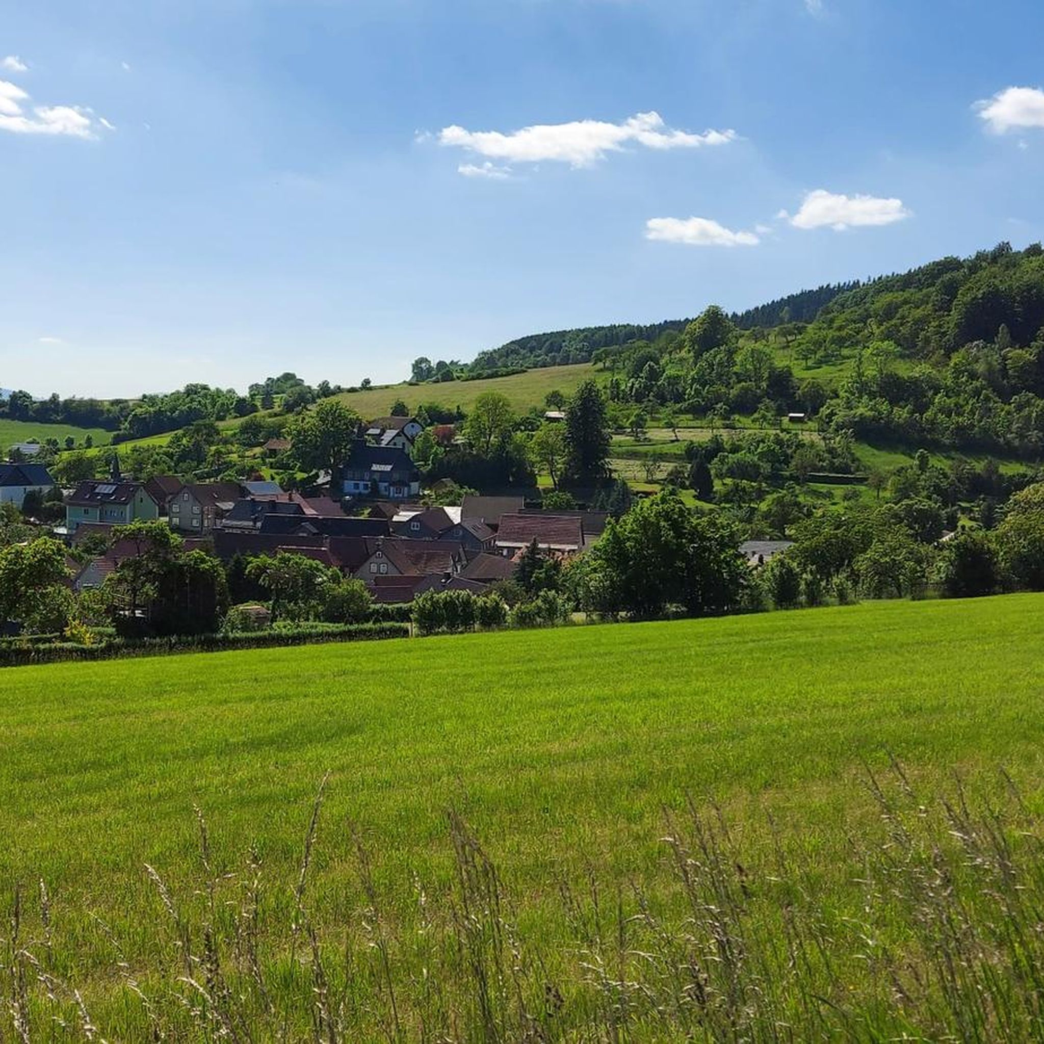
Hiking around Eisfeld, located between the Thuringian Forest and the Coburg countryside, offers diverse landscapes. The region is characterized by dense forests, the Werra River, and varied hilly and valley terrain. Elevations such as Bleßberg provide views over the Thuringian Forest, while sections of the Green Belt offer ecological interest.
Best hiking trails around Eisfeld
- The most popular hiking route is Rennsteig Rest Area – Burgberg Hut loop from Hinterrod, an easy 2.7 miles (4.4 km) trail that takes…
Last updated: June 27, 2026
4.5
(24)
71
hikers
4.34km
01:13
80m
80m
Easy hike. Great for any fitness level. Easily-accessible paths. Suitable for all skill levels.
4.4
(9)
31
hikers
3.75km
01:07
110m
110m
Easy hike. Great for any fitness level. Easily-accessible paths. Suitable for all skill levels.

Sign up for free
4.7
(18)
71
hikers
11.4km
03:08
180m
180m
Moderate hike. Good fitness required. Easily-accessible paths. Suitable for all skill levels.
4.8
(14)
31
hikers
14.9km
04:09
280m
280m
Moderate hike. Good fitness required. Easily-accessible paths. Suitable for all skill levels.
4.5
(15)
32
hikers
7.41km
02:07
180m
180m
Moderate hike. Good fitness required. Easily-accessible paths. Suitable for all skill levels.
Get access to more routes and recommendations from other explorers.
Sign up for free
Already have an account?
Our route recommendations are based on thousands of hikes, rides, and runs completed by other people on komoot.
Start today with a free account
Your next adventure awaits.
Login or Signup
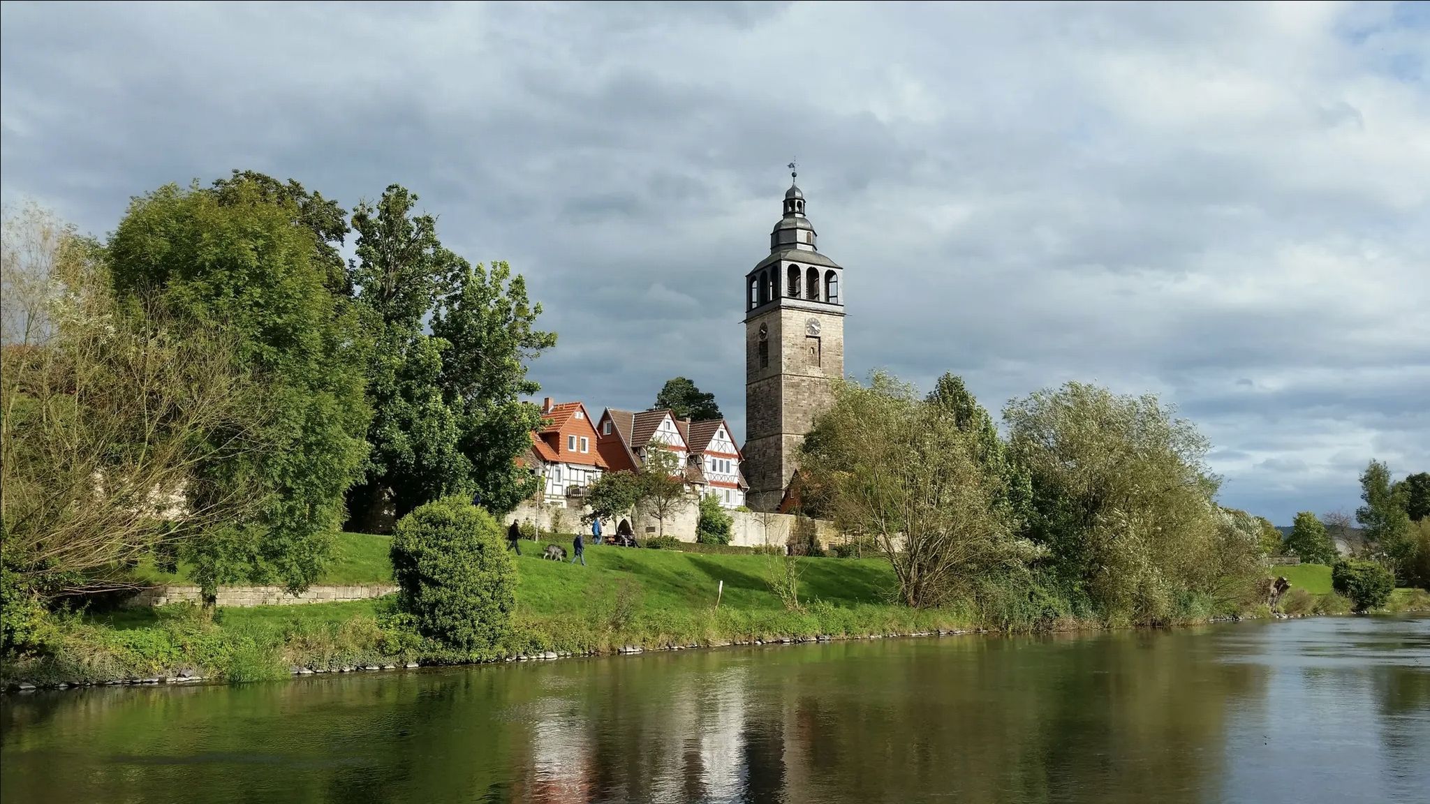
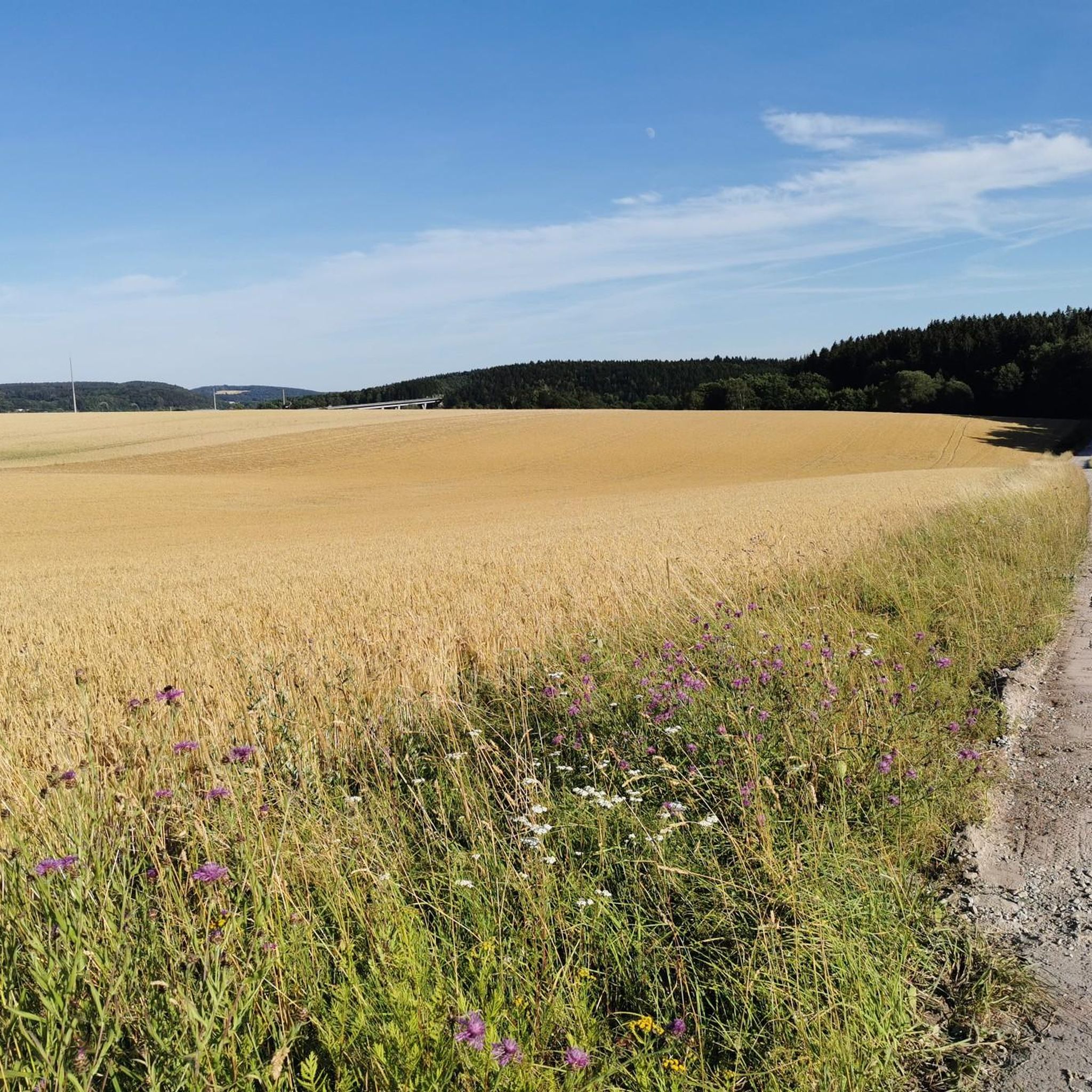
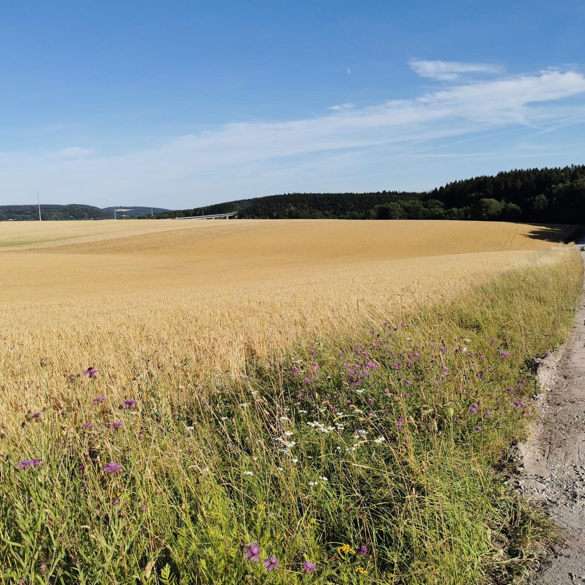
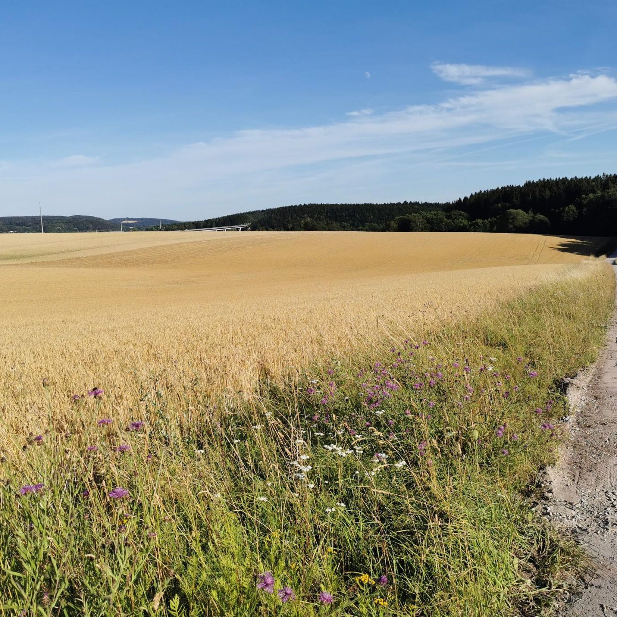

Other adventures around Eisfeld

Tips from the Community

Such tours in the autumn fog are simply phenomenal
0
0

The Werra River is fed by two springs and flows through Germany's geographical center. A variety of wonderful spots await the leisurely stroller along the riverside paths. One of these is located here on the way to the Eisfelder Ausspanne (Eisfelder Rest Area). The water is very cold. A seating area is available. From here, several paths lead up towards the Rennsteig Trail. The descent from there leads past the idyllic rafting pond to Sachsenbrunn with its centuries-old dancing linden tree. The dammed water was once used for floating logs, hence the name.
14
0

A well-designed amusement park in Waffenrod, especially for children. Here, you can spend the night in witch's houses or Teletuppie houses. The grounds also offer numerous play areas, a summer toboggan run in the summer, and a lift for the ski slope in the winter when there's snow.
0
0

Great view. Recommended especially in spring.
0
0


The Thuringian Forest Nature Park extends over the area around the Rennsteig in the Thuringian Forest, in the High Thuringian Slate Mountains with the Schwarzatal and on the western flank of the Franconian Forest between Eisenach in the northwest and Sonneberg in the southeast. It includes, among other things, the so-called dam region around the Old Gotha Dam (also called the Tambach-Dietharz Dam), the Schmalwasser, Ohra and Lütsche Dams, the Erletor Dam, the Schönbrunn Dam at the transition from the Thuringian Forest to the Slate Mountains, but also the Schwarzatal with the Scheibe-Alsbach Dam and the Goldisthal pumped storage power station and the Lichtetal with the Leibis-Lichte drinking water dam. The 170 km² Vessertal-Thuringian Forest Biosphere Reserve is enclosed by the nature park. The highest elevations in the Thuringian Forest Nature Park are the Große Beerberg (982 m above sea level) and the Schneekopf (978 m above sea level) in the Thuringian Forest. The Große Farmdenkopf in the Thuringian Slate Mountains reaches 869 m above sea level, the mountain peaks Kieferle (867 m above sea level) and Bleßberg (865 m above sea level) are almost the same height. The Thuringian Forest Nature Park is directly adjacent to the Franconian Forest and Thuringian Slate Mountains-Upper Saale Nature Parks. Together, the three nature parks form a closed nature park area of around 4000 km². (Source: Wikipedia)
0
0
Are you looking for an unusual and natural overnight stay, but want to avoid unnecessary and superfluous luxury? Then we warmly welcome you to the witch chalet at the Auenland holiday village. In an idyllic and self-contained part of the adventure playground, five crooked and unique witch houses await you for an unusual holiday experience in a natural environment. (Source: https://feriendorf-auenland.de)
0
1
Frequently Asked Questions
How many hiking trails are available around Eisfeld?
Eisfeld offers a wide range of hiking opportunities with over 110 routes. These trails cater to various skill levels, from easy walks to more challenging treks through the diverse landscapes of the Thuringian Forest and Coburg countryside.
What kind of terrain can I expect when hiking near Eisfeld?
The terrain around Eisfeld is quite varied. You'll find dense forests, lush green hills, and captivating valleys. The region is characterized by low mountain ranges, including the Thuringian Forest, and features pleasant riverside paths along the Werra River. Elevations like the Bleßberg offer challenging sections and panoramic views.
What is the best time of year to go hiking in Eisfeld?
The best seasons for hiking in Eisfeld are generally spring and autumn. During spring, nature is in full bloom, while autumn offers vibrant colorful foliage, providing ideal conditions for both short walks and longer treks.
What do other hikers say about the trails around Eisfeld?
The hiking routes in Eisfeld are highly rated by the komoot community, with an average score of 4.5 stars from over 450 reviews. Hikers often praise the varied terrain, the beautiful forest paths, and the well-maintained trails that offer diverse experiences for all levels.
Are there family-friendly hiking options in Eisfeld?
Yes, Eisfeld offers several options suitable for families. For a unique experience, the Saalburg-Ebersdorf Fairytale Forest combines hiking with playful experiences of fairytale stories. Many of the easier routes, such as the Rennsteig Rest Area – Burgberg Hut loop from Hinterrod, are also great for families looking for a less strenuous outing.
Can I bring my dog on the hiking trails in Eisfeld?
Generally, dogs are welcome on hiking trails in the Eisfeld region, especially in the Thuringian Forest. However, it's always advisable to keep your dog on a leash, especially in nature reserves or near wildlife, and to respect local signage regarding pet regulations.
Are there circular hiking routes available in Eisfeld?
Yes, Eisfeld features numerous circular hiking routes. A notable example is the Werraquelle – Werra Source Hut loop from Waffenrod, which takes you around the source of the Werra River. Another popular option is the Burgberg Hut – Dragonfly Pond loop from Hinterrod, offering a pleasant walk through forested areas.
What natural features or landmarks can I see along the hiking trails?
Hiking around Eisfeld offers many natural features and landmarks. You can explore the Werra River's source, visit viewpoints like the Rennsteigwarte on Eselsberg or the Blessberg Observation Tower for panoramic views. The Green Belt, the former inner-German border, also provides valuable biotopes and historical context.
Are there any long-distance hiking trails accessible from Eisfeld?
Eisfeld is located near Germany's oldest long-distance hiking trail, the Rennsteig, which traverses the Thuringian Forest. Sections of the Rennsteig, such as the 'Rennsteig-Leiter Waffenrod,' offer demanding routes. Additionally, the Werra Burgen Steig X5, a long-distance trail highlighting castles and forests, includes a stage from Fehrenbach to Eisfeld.
Where can I find parking for hiking trails in Eisfeld?
Parking options are generally available near trailheads and popular starting points in and around Eisfeld. Many routes, especially those starting from smaller villages like Hinterrod, will have designated parking areas. It's recommended to check specific route details for the most convenient parking locations.
Are there cafes or restaurants near the hiking trails in Eisfeld?
Yes, Eisfeld and its surrounding villages offer various cafes and restaurants where hikers can refuel. You'll find options in the town center of Eisfeld, and some smaller establishments or huts might be located along or near popular routes, especially in villages that serve as trail starting points.
Are there any challenging hikes with significant elevation gain?
For hikers seeking more challenging routes, the Eisfeld region offers trails with notable elevation gain. The Bleßberg, for instance, is known for its challenging circular hikes and provides an observation tower with extensive views. Routes like the Werra Spring Hut – Werra Spring Fehrenbach loop from Hinterrod also feature a moderate amount of ascent.
Most popular routes around Eisfeld
Most popular attractions around Eisfeld

Get inspired with the komoot mobile app


Explore more
Browse the best Hikes in other regions.
