The 19 Most Amazing Peaks around Pfaffenhofen
Best mountain peaks around Pfaffenhofen an der Ilm offer diverse elevated points and rolling hills for outdoor activities. The district features varied terrain, including forests, river valleys, and agricultural land. These natural features provide opportunities for hiking and exploring the tranquil Bavarian countryside. The highest elevation near Pfaffenhofen an der Ilm is the Höchster Punkt der Hallertau (Wüstersberg) at 547 meters.
Best mountain peaks around Pfaffenhofen
- The most popular mountain peaks is St. Ottilien Chapel on the Ottilienberg, a…
Last updated: August 25, 2026
St. Ottilien Chapel on the Ottilienberg
Highlight • Religious Site
Showing Translation
Tip by

Michaelsberg, Cleebronn
Highlight • Summit
Translated by Google •
Tip by

Sign up now to discover places like this
Get recommendations on the best single tracks, peaks, & plenty of other exciting outdoor places.
Sign up for free
Baiselsberg – Highest Point in Stromberg
Highlight • Summit
Translated by Google •
Tip by

Teufelsklinge singletrack
Highlight (Segment) • Trail
Translated by Google •
Tip by

Schlierkopf Summit
Highlight • Summit
Translated by Google •
Tip by

Sign up for free to discover even more peaks around Pfaffenhofen.
Sign up for free
Already have an account?
Start today with a free account
Your next adventure awaits.
Login or Signup

Other adventures around Pfaffenhofen

Tips from the Community

The way up to Ottilienberg leads along a small steep path.
12
0
A new consecration and thus a new building of the chapel is recorded from the period around 1462/65. It probably consisted of the present choir with the beautiful star vault and the tower with antechamber and sacristy extension. A few years later, the current ruined nave was probably added. From earlier times, a "forest brother" or hermit is believed to have lived in the building next to the chapel. During the Reformation, all the sculptures were destroyed and the chapel closed. The "forest brother" became a "forest servant". The chapel survived the Thirty Years' War unscathed. In connection with the expansion of the Eppingen lines in 1695 - 1697, the chapel tower was given the function of a charter and was raised. In the 18th century, pilgrimages to the chapel ruins were again made from Eppingen. In 1771, the chapel was still completely intact, but without a roof. Due to agricultural use, the nave was demolished in the 19th century, except for a remnant in the west. In the last days of the war in 1945, the property next to the chapel was destroyed and the chapel was set on fire. In 1955, the city undertook extensive renovation and restoration of the chapel ruins. (Source: www.kath-eppingen.de)
9
0
Once a month - usually on the first Sunday of the month from 11 a.m. to 5 p.m. - the German Alpine Club, Eppingen district group, opens and manages the Ottilienberg tower.
20
1

The DAV Eppingen local group's hiking hut is currently open on the first Sunday of every month, whatever the weather.
10
0

The "summit" is a must to "tick off"! There are great trails all around in a great area👍. "Seltsamonskis" just tick it off with "annoying constant liking"🤣
4
1

The Baiselsberg is getting higher and higher, but it is already the "biggest"
7
1
Beautiful chapel with a large rest area and covered seating
14
1

You can also reach the summit by mountain bike! It is where the summit cross is. Next to it is the surveying stone. Unfortunately there is no view as it is overgrown all around. But no matter, you have to go there at least once!
2
0
Frequently Asked Questions
What is the highest point in the Pfaffenhofen an der Ilm district?
The highest point in the Landkreis Pfaffenhofen an der Ilm is the Höchster Punkt der Hallertau, also known as Wüstersberg, standing at 547 meters (1,795 feet). It is located in the municipality of Gerolsbach.
What kind of views can I expect from the peaks around Pfaffenhofen?
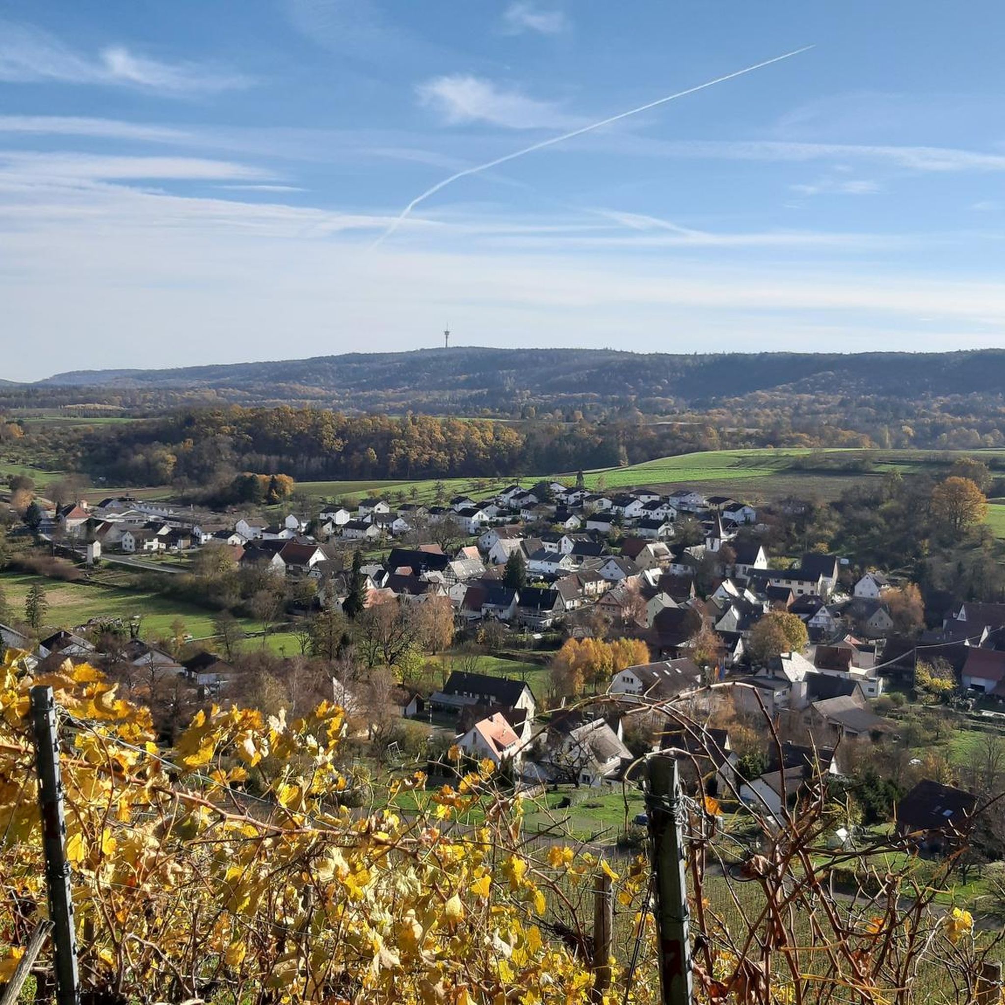
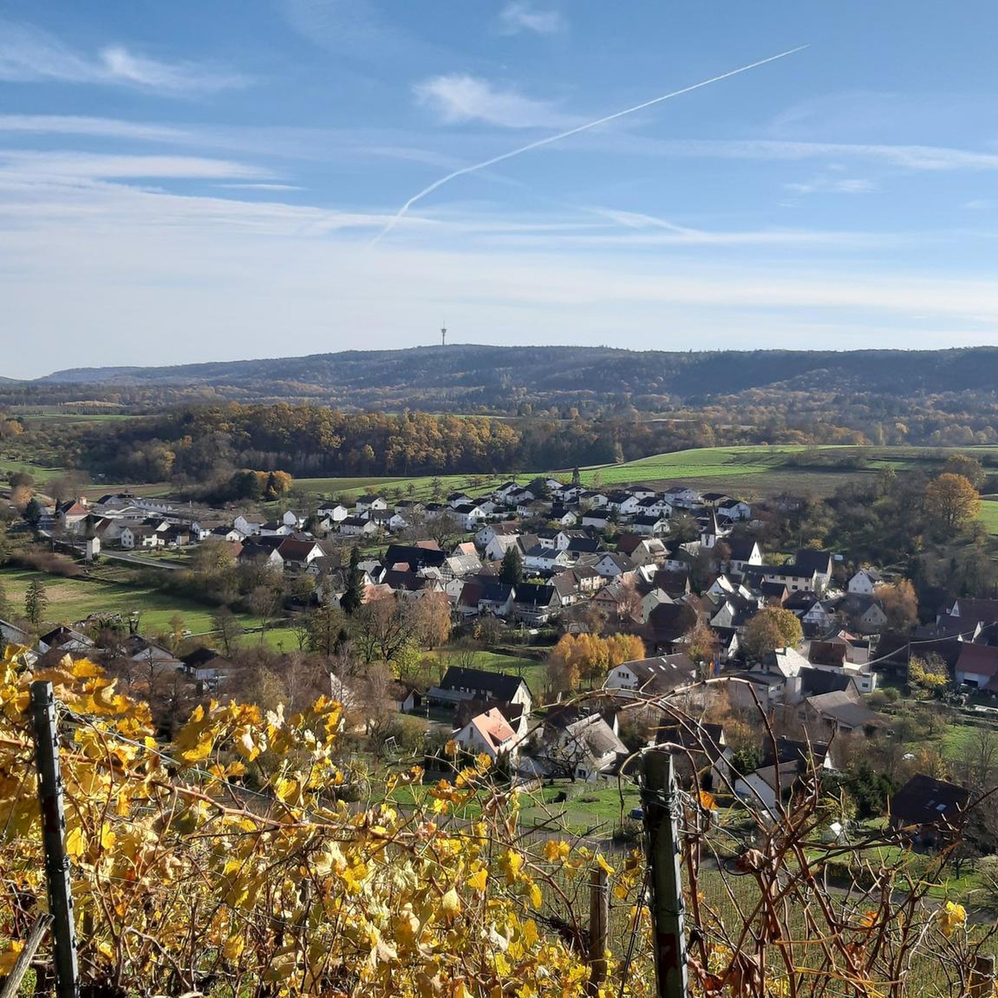
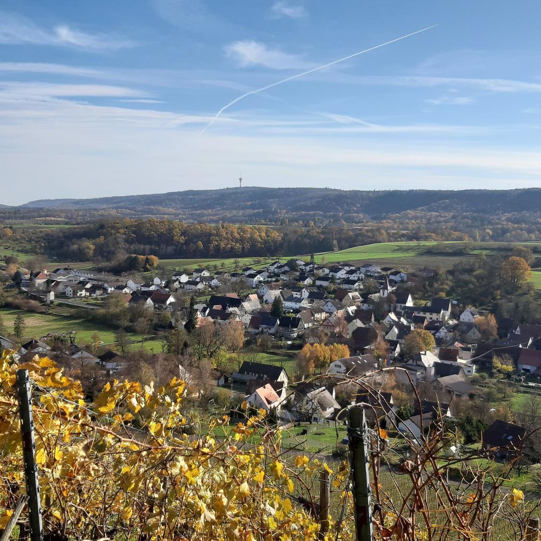
While many summits are wooded, some elevated points and hiking trails offer panoramic views of the surrounding countryside, including lush meadows, forests, and charming villages. On clear days, you might even catch distant glimpses of the Alps. For example, Michaelsberg, Cleebronn provides impressive views of vineyards and the Neckarland.
Are there family-friendly peaks or trails in the region?
Yes, the region offers several family-friendly options. The area around St. Ottilien Chapel on the Ottilienberg is considered family-friendly, featuring a small chapel with a hut and barbecue area, perfect for a day out. The district's rolling hills provide numerous marked hiking trails suitable for various fitness levels, including easier routes for families.
What historical or cultural sites can be found on these peaks?
Several peaks have historical or cultural significance. St. Ottilien Chapel on the Ottilienberg is a 15th-century pilgrimage chapel. Michaelsberg, Cleebronn features the historic pilgrimage church of St. Michael, dating back to the 12th century, and has ancient roots with Celtic and Roman sanctuaries. Even the Heuchelberg Summit has historical ties as a former rocket launch base.
What outdoor activities can I do near the mountain peaks around Pfaffenhofen?
Beyond hiking, the region is excellent for various outdoor activities. You can explore the area through gravel biking, running, or road cycling. For gravel biking, check out the routes in the Gravel biking around Pfaffenhofen guide. Runners can find trails in the Running Trails around Pfaffenhofen guide, and road cyclists have options in the Road Cycling Routes around Pfaffenhofen guide.
Are there specific hiking trails near these peaks?
Yes, the district offers numerous marked hiking trails. The 'Ilmtal hiking trail' provides scenic views along the Ilm river, and the 'Panorama Trail Kloster Scheyern' is another popular option. Many routes also lead to or around the elevated points, allowing you to explore the diverse landscapes. For more detailed hiking options, you can explore the various guides available on komoot for the Pfaffenhofen region.
What is special about Baiselsberg, the highest point in the Stromberg?
Baiselsberg — Highest Point in the Stromberg marks the highest elevation in the Stromberg region. While the summit itself is wooded and doesn't offer panoramic views, it is known for its forest trails and provides a rewarding downhill experience for hikers and bikers.
Can I find facilities like huts or barbecue areas on these peaks?
Yes, some locations offer facilities for visitors. For instance, St. Ottilien Chapel on the Ottilienberg features a small chapel with a hut and a barbecue area, which is often managed by the Heilbronn section of the Alpine Club on certain Sundays.
What do visitors enjoy most about the peaks around Pfaffenhofen?
Visitors appreciate the diverse terrain, including lush meadows, forests, and charming villages. The opportunities for leisurely hikes, nature exploration, and enjoying the tranquil Bavarian countryside are highly valued. The scenic views from various elevated points and the mix of natural beauty with cultural significance, such as pilgrimage sites, also contribute to the positive experience.
Is the Schlierkopf Summit worth visiting, and what can I expect?
The Schlierkopf Summit, at 449.6 meters, is part of the Stromberg ridge and features a summit cross accessible by wooden steps. While the summit itself is surrounded by high forest and lacks a panoramic view, the descent towards Katzenbachsee is often described as phenomenal, offering a long trail with small challenges, making it popular among mountain bikers.
Are there any dog-friendly hiking trails near the peaks?
The rolling hills and extensive forest trails around Pfaffenhofen an der Ilm generally welcome dogs, making many of the hiking routes dog-friendly. Always ensure your dog is on a leash where required, especially in nature reserves or near wildlife, and be mindful of other hikers and local regulations.
Most popular routes around Pfaffenhofen
Most popular attractions around Pfaffenhofen

Get inspired with the komoot mobile app


Explore more
See even more amazing summits around Pfaffenhofen with these guides:
