The best road cycling routes around Bridgehampton
4.1
(31)
1,086
riders
80
rides
Road cycling around Bridgehampton features a landscape characterized by coastal stretches, state parks, and rural roads. The region offers generally flat to gently rolling terrain, making it suitable for various road cycling experiences. Routes often traverse scenic areas, including natural preserves and agricultural land. The overall elevation gain across routes is moderate, reflecting the area's coastal geography.
Best road cycling routes around Bridgehampton
- The most popular road cycling route is Long Island Greenway—Phase II, a 63.1 miles (101.5 km)…
Last updated: September 27, 2026
4.0
(3)
98
riders
101km
04:01
420m
420m
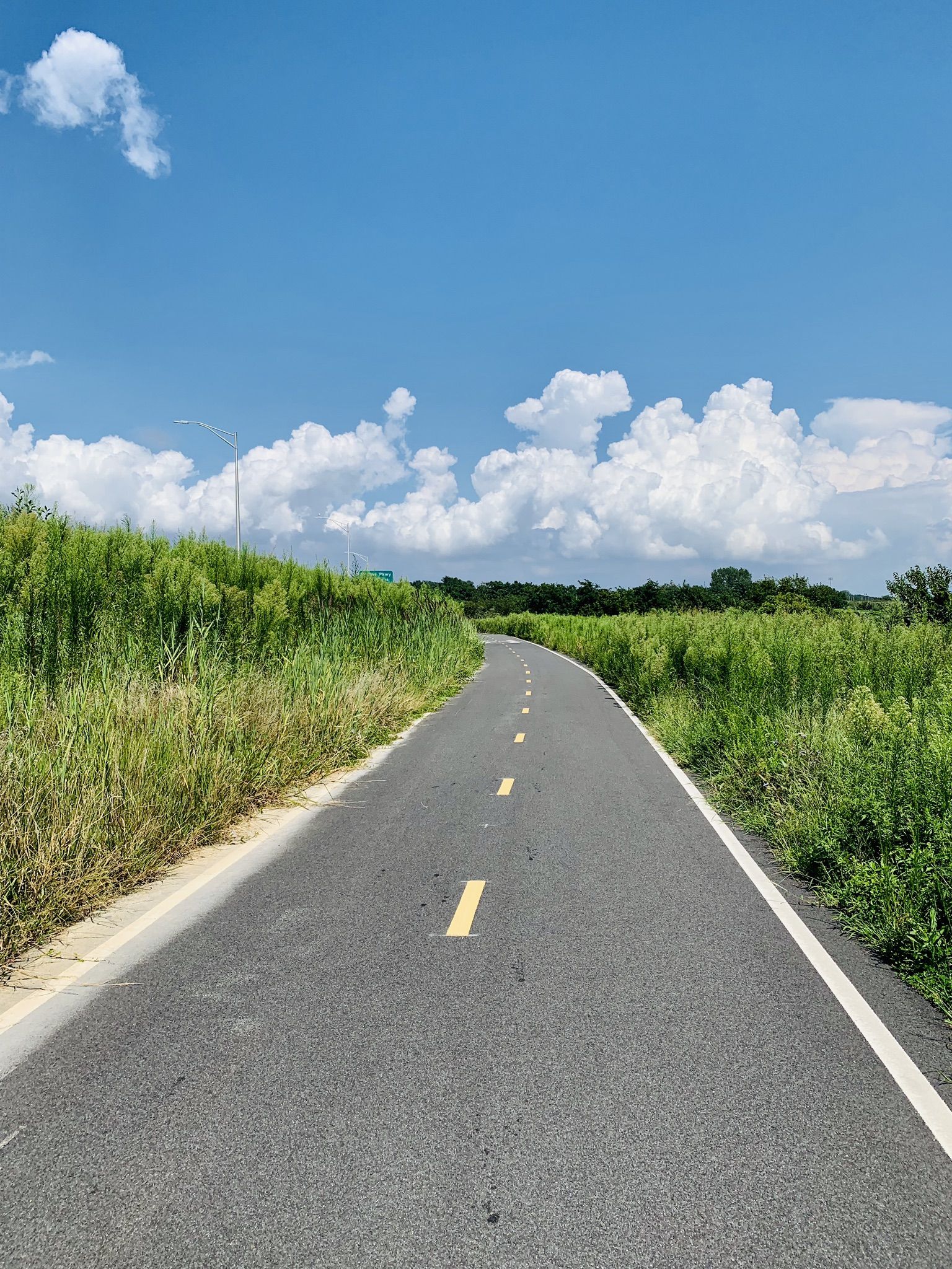
Embark on the Long Island Greenway—Phase II, a moderate road cycling route spanning 63.1 miles (101.5 km) with an elevation gain of 1365 feet (416 metres). You can expect to…
54
riders
78.1km
03:06
270m
270m
Moderate road ride. Good fitness required. Mostly well-paved surfaces and easy to ride.

12
riders
Easy road ride. Great for any fitness level. Mostly well-paved surfaces and easy to ride.
6
riders
32.7km
01:29
150m
150m
Easy road ride. Great for any fitness level. Mostly well-paved surfaces and easy to ride.
15
riders
46.4km
01:48
160m
160m
Easy road ride. Great for any fitness level. Mostly well-paved surfaces and easy to ride.
Get access to more routes and recommendations from other explorers.
Already have an account?
Our route recommendations are based on thousands of hikes, rides, and runs completed by other people on komoot.
Start today with a free account
Your next adventure awaits.



Other adventures around Bridgehampton

Tips from the Community

A save beach, and one of a lot one Long Island
0
0

The Old Montauk Highway leads to a trail through the woods with a gate that says closed to traffic. We took it and it’s fine. There’s a nice parking area with a cliff view at the end just before you get to the lighthouse, check it out.
0
0
This is really a stunning area. Beaches as long your look is reaching. And please do a stop
0
0

Otter Pond is part of the Long Pond Greenbelt, known as the "string of pearls" due to its chain of 13 rare coastal plain ponds. These fragile ecosystems are crucial habitats for diverse plant and animal life, making them a significant conservation area.
0
0

Napeague State Park, in Long Island, offers a pristine coastal respite. Its unspoiled beaches stretch for miles, providing a perfect setting for sunbathing, beach going and hiking. The park's natural beauty, encompassing dunes and diverse wildlife, inviting you to enjoy its natural beauty in this largely undeveloped and unspoiled park.
1
0
Grace Estate Preserve, on Long Island, is a natural sanctuary, encompassing diverse habitats and scenic trails.
0
0

Sag Harbor is a picturesque village on the East End of Long Island, New York. It boasts a rich maritime history dating back to the 18th and 19th centuries and served as a vital port for whaling and shipping industries. With historic landmarks like the Old Whaler's Church and the Sag Harbor Whaling and Historical Museum, the village preserves its seafaring heritage. The scenic waterfront is dotted with boats and surrounded by historic architecture, adding to the village's charm. Sag Harbor also has theaters, galleries, local shops, and great restaurants and coffee shops making it an awesome place to relax after a long ride.
0
0
Grace Estate Preserve, on Long Island, is a natural sanctuary, encompassing diverse habitats and scenic trails.
0
0
Frequently Asked Questions
How many road cycling routes are available around Bridgehampton?
There are over 85 road cycling routes around Bridgehampton, offering a wide range of options for different skill levels and preferences.
Are there easy road cycling routes suitable for beginners or families in Bridgehampton?
Yes, Bridgehampton offers many easy routes. More than 50 routes are classified as easy, featuring generally flat to gently rolling terrain. A great option is the Water Mill Windmill – Lake Agawam loop from Water Mill, which is 19.1 miles (30.7 km) and leads through rural landscapes.
What are some of the longer road cycling routes in the Bridgehampton area?
For those seeking longer rides, options like the Long Island Greenway—Phase II offer a substantial challenge, covering 63.1 miles (101.5 km). Another excellent long-distance route is the Napeague State Park – Hither Hills State Park loop from Bridgehampton, which is 48.5 miles (78.1 km).
What kind of terrain can I expect on road cycling routes in Bridgehampton?
Road cycling around Bridgehampton is characterized by generally flat to gently rolling terrain. Routes often traverse coastal stretches, state parks, and rural roads, providing varied scenery without significant elevation gains.
Are there any challenging or advanced road cycling routes in Bridgehampton?
While the region is mostly flat to gently rolling, there are a few routes with slightly more elevation. The komoot community has identified 2 routes as difficult, though the overall elevation gain across routes remains moderate.
What are the best seasons for road cycling in Bridgehampton?
The spring and fall seasons typically offer the most pleasant conditions for road cycling in Bridgehampton, with mild temperatures and beautiful scenery. Summer can be warm, while winter may bring colder weather, though many routes remain accessible.
What scenic views can I expect along road cycling routes in Bridgehampton?
Many routes offer scenic views, including coastal paths, natural preserves, and agricultural land. You can enjoy vistas of the Atlantic coastline, pass through state parks, and experience the quiet charm of rural landscapes.
Are there any interesting landmarks or attractions to see along the road cycling routes?
Yes, several routes pass by notable attractions. You might encounter historical sites like the Gardiner Windmill and Rev. Thomas James Homesite, or natural features such as Lake Agawam. The Foster Memorial Bathing Beach – Water Mill Windmill loop from Village of Sag Harbor, for example, offers coastal views and passes by the Water Mill Windmill.
What do other road cyclists say about their experience in Bridgehampton?
The road cycling routes in Bridgehampton are highly rated by the komoot community, with an average score of 4.2 stars from over 23 reviews. Cyclists often praise the varied terrain, from coastal paths to quiet rural roads, and the well-maintained routes.
Are there any loop road cycling routes in Bridgehampton?
Yes, many routes in Bridgehampton are designed as loops, allowing you to start and end at the same point. Examples include the Water Mill Windmill – Lake Agawam loop from Water Mill and the Northwest Woods Trails – Grace Estate Preserve loop from East Hampton Airport.
Can I find quiet road cycling routes away from traffic in Bridgehampton?
Bridgehampton offers numerous quiet rural roads and routes that traverse natural preserves, providing a peaceful cycling experience away from heavy traffic. Look for routes that pass through agricultural land or state parks for a more serene ride.
Most popular routes around Bridgehampton
Most popular attractions around Bridgehampton

Get inspired with the komoot mobile app


Explore more
Browse the best Road cycling routes in other regions.
