The best road cycling routes around Calverton
4.4
(26)
502
riders
50
rides
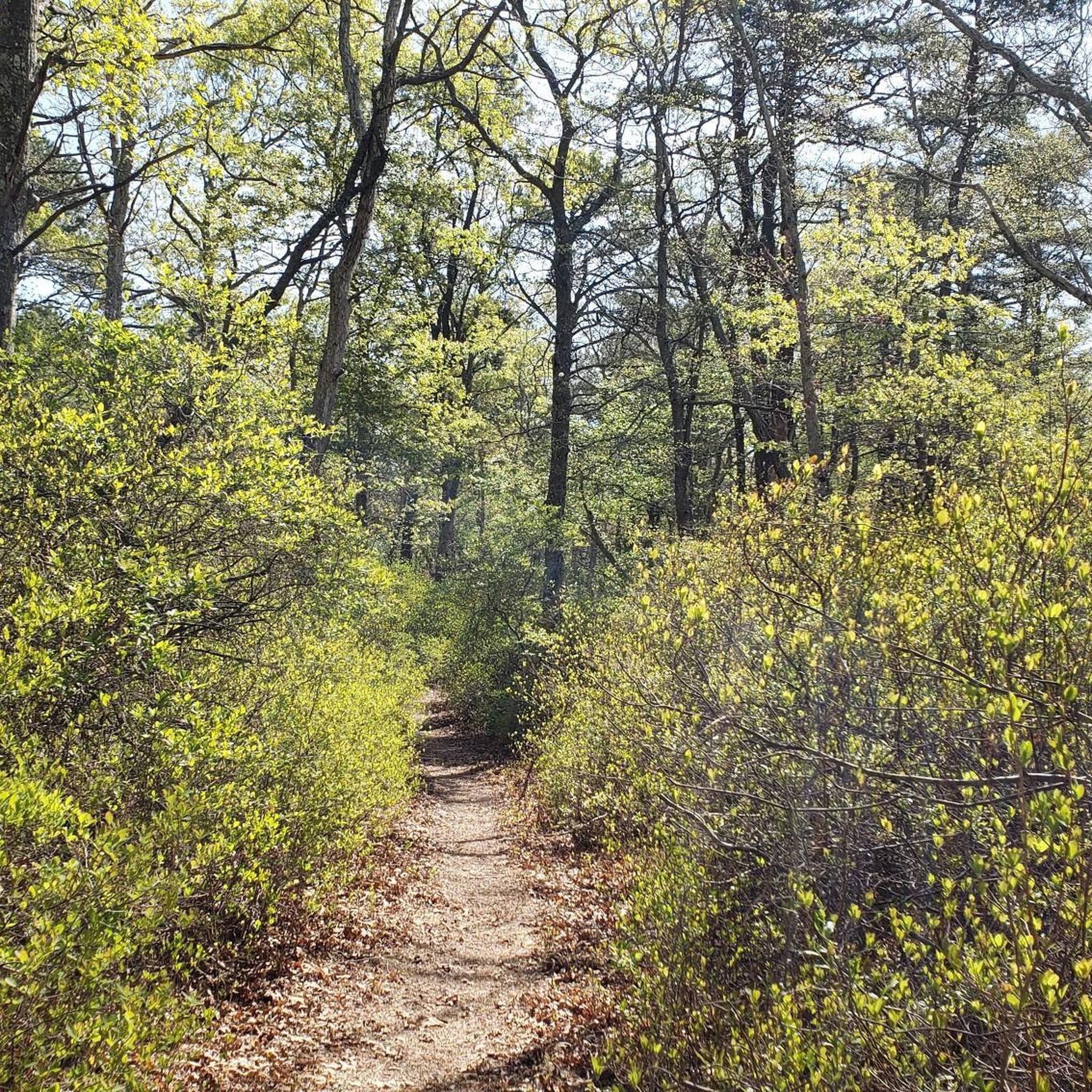
Road cycling around Calverton, New York, features diverse landscapes, including extensive paved bike paths and routes through natural areas. The region is characterized by oak-pine forests, pine barrens, and meadowlands, offering varied scenery for cyclists. Notable features include the Veterans Memorial Park/Calverton Airport (EPCAL) Bike Path, which provides a well-maintained, expansive route. These paths traverse wooded areas and sections with unique coastal plain ponds, offering a naturally engaging experience.
Best road cycling routes around Calverton
- The most popular road cycling…
Last updated: October 5, 2026
4.5
(2)
38
riders
48.2km
02:02
310m
320m
Moderate road ride. Good fitness required. Mostly well-paved surfaces and easy to ride.
4.2
(9)
42
riders
Easy road ride. Great for any fitness level. Mostly well-paved surfaces and easy to ride.

30
riders
88.3km
03:42
260m
260m
Moderate road ride. Good fitness required. Some segments of this route may be unpaved and difficult to ride.
11
riders
57.6km
02:18
180m
180m
Moderate road ride. Good fitness required. Mostly well-paved surfaces and easy to ride.
17
riders
Moderate road ride. Good fitness required. Some segments of this route may be unpaved and difficult to ride.
Get access to more routes and recommendations from other explorers.
Already have an account?
Our route recommendations are based on thousands of hikes, rides, and runs completed by other people on komoot.
Start today with a free account
Your next adventure awaits.

Tips from the Community

Canoe Place is a luxury resort town on the Shinnecock Canal with upscale hotels, restaurants, and water access. The Paumanok Path passes through the center of town, and on some maps detours down Gate Street to the canal, where there is often a porta potty, and where you can get excellent views of the canal bridge.
0
0

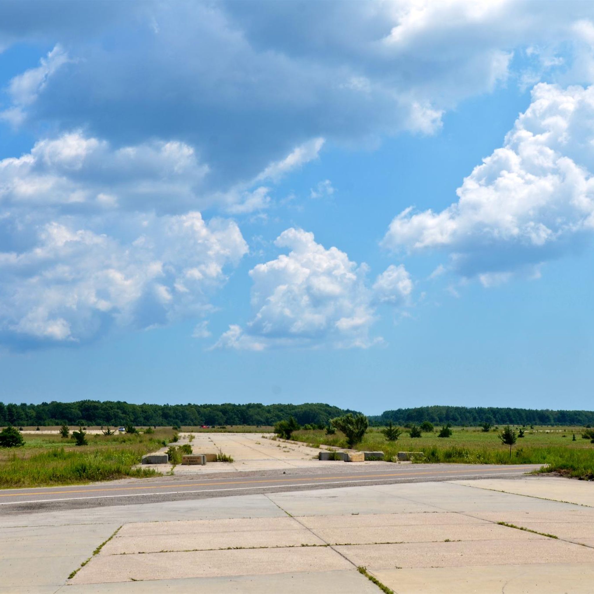
Long Island is known as the cradle of aviation and is the scene of many aviation premieres. Many aircraft manufacturers such as Grumman, Republic and Brewster had their headquarters on the island.
0
0

An unbelievable view. Please take use that way and see yourself
0
0
Dune Road spans over 14 miles, drawing a straight line down the island from Cupsogue Beach to Ponquogue State Park. Your views of the scenic shoreline and Hampton beach homes are uninterrupted the entire way. There isn't much shoulder, but you generally won't find too much traffic and this makes for a great way to explore the island.
0
0

From this spot on Dune Road you get a fantastic view of the bay and marshes on one side and the vast Atlantic on the other. This is a great bit of riding in the Hampton Bays.
0
0

The Shinnecock Canal was the first saltwater canal in New York State, built between 1884 and 1892. Once a site used by Native Americans to carry canoes over land, the Canal today connects two of the most stunning bays on Long Island's eastern side, Shinnecock Bay and Great Peconic Bay, which had become landlocked over time. Though the Hamptons officially begin 10 miles (16.09 km) west of the Canal, it is known as the starting point of this exclusive summer resort, as every modern bridge leading to the Hamptons crosses the Canal.
0
0

The Vietnam Veterans Memorial Recreational Trail is a 9.5-mile trail that is mostly paved and, in some places, hard-packed dirt. It is mostly flat and takes bikers on long stretches around the Calverton Executive Airpark.
0
0

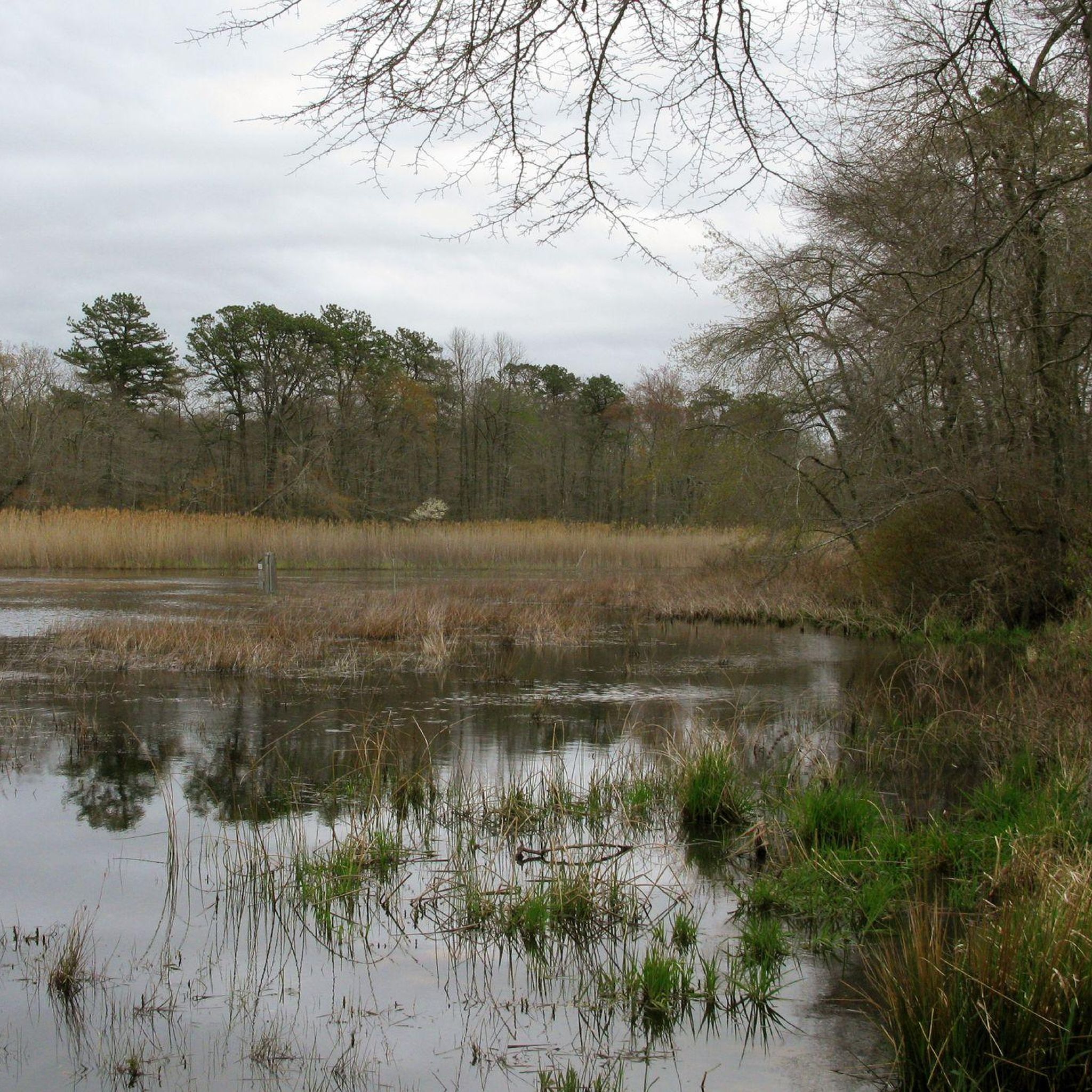
Robert Cushman Murphy County Park, featuring coastal plain pondshore habitat, is ideal for observing a diverse range of wildlife and plants. With miles of trails traversing the area and several ponds providing scenic break points, you can enjoy a rich natural experience.
1
0
Frequently Asked Questions
How many road cycling routes are available in Calverton?
Calverton offers a wide selection of road cycling routes, with over 50 different tours available. These routes cater to various skill levels, ensuring there's something for everyone.
What are the general difficulty levels of road cycling routes in Calverton?
The road cycling routes in Calverton are quite diverse in difficulty. You'll find 25 easy routes, 31 moderate routes, and 1 difficult route, providing options for beginners to more experienced cyclists.
What kind of terrain can I expect on road cycling routes in Calverton?
Road cycling in Calverton features diverse landscapes. You can expect to ride through extensive oak-pine forests, distinctive pine barrens, and open meadowlands. Many routes, like those around the EPCAL Bike Path, are well-maintained and paved, offering a smooth ride through varied natural scenery.
Are there easy road cycling routes suitable for beginners in Calverton?
Yes, Calverton has numerous easy road cycling routes perfect for beginners. For example, the Grumman Memorial Park loop from Wildwood State Park is an easy 15.8-mile (25.5 km) ride through wooded areas. Another great option is the Grumman Memorial Park loop from Calverton Pine Barrens State Forest, an easy 9.4-mile (15.2 km) path that takes you through the unique pine barrens.
Are there challenging road cycling routes with significant elevation gain in Calverton?
While Calverton is generally known for its relatively flat terrain, some routes offer more significant elevation changes. The Grumman Memorial Park loop from Calverton, for instance, is a moderate 49.5-mile (79.7 km) route with over 400 meters of elevation gain, providing a more challenging experience.
What natural features can I see along the road cycling routes in Calverton?
Calverton's road cycling routes often traverse areas rich in natural beauty. You can expect to see extensive oak-pine forests, unique pine barrens, and meadowlands. The region is also home to rare coastal plain ponds, such as those found in the Calverton Ponds Preserve, which support diverse plant and animal life. For more information on the preserve, you can visit nature.org.
Are there any interesting landmarks or points of interest along the road cycling routes?
Yes, several points of interest can be found along or near Calverton's cycling routes. The Veterans Memorial Park/Calverton Airport (EPCAL) Bike Path features aviation exhibits and a restored historic family cemetery plot. You might also pass by the Grumman Memorial Park, which is a notable landmark in the area. Other natural highlights include Terrell River County Park and sections of the Paumanok Path.
Are there any circular road cycling routes in Calverton?
Many of the road cycling routes in Calverton are designed as loops, offering convenient circular rides. Examples include the Grumman Memorial Park loop from Wildwood State Park and the Dune Road – Ponquogue Bridge View loop from Manorville, allowing you to start and end at the same point.
What do other cyclists say about road cycling in Calverton?
The road cycling routes in Calverton are highly rated by the komoot community, with an average score of 4.3 stars from over 20 reviews. Cyclists often praise the varied terrain, the well-maintained paths, and the scenic beauty of the oak-pine forests and pine barrens.
Is parking available for road cyclists in Calverton?
Yes, parking is generally available near popular cycling areas in Calverton. For routes like the Veterans Memorial Park/Calverton Airport (EPCAL) Bike Path, designated parking areas are provided to accommodate cyclists. It's always a good idea to check specific starting points for parking information.
What is the best time of year for road biking in Calverton?
The best time for road biking in Calverton is typically during the spring, summer, and fall months. These seasons offer pleasant temperatures and vibrant natural scenery. Spring brings blooming flora, summer provides warm weather, and fall showcases beautiful foliage. Winter cycling is possible but may require appropriate gear due to colder temperatures and potential for icy conditions.
Are there any long-distance road cycling routes near Calverton?
Yes, for those looking for longer rides, Calverton offers several extended routes. The Dune Road – Ponquogue Bridge View loop from Manorville is a substantial 52.7-mile (84.9 km) trail, and the Speonk River – Apaucuck Cove loop from Manorville covers 34.2 miles (55.1 km), providing excellent options for longer excursions.
Most popular attractions around Calverton

Get inspired with the komoot mobile app


Explore more
Browse the best Road cycling routes in other regions.
