The 20 Most Amazing Peaks around Pretzfeld
Best mountain peaks around Pretzfeld are found in the heart of Franconian Switzerland, a region characterized by its distinctive limestone formations and verdant valleys. This area offers a diverse natural landscape, making it a notable destination for outdoor activities. The peaks provide elevated perspectives of the surrounding countryside and the Wiesent Valley. Pretzfeld serves as a central point for exploring these geological features and the broader Frankenjura mountains.
Best mountain peaks around Pretzfeld
- The most popular mountain peaks is View…
Last updated: October 11, 2026
Hohes Kreuz Observation Tower
Highlight • Viewpoint
Translated by Google •
Tip by

Rodenstein
Highlight • Summit
Translated by Google •
Tip by

Sign up now to discover places like this
Get recommendations on the best single tracks, peaks, & plenty of other exciting outdoor places.
View of the Wiesent Valley from the Walberla
Highlight • Viewpoint
Translated by Google •
Tip by

View of Kirchehrenbach from the Pre-Summit Cross
Highlight • Viewpoint
Translated by Google •
Tip by
Nice view of the "Steinerne Frau"
Highlight • Natural Monument
Translated by Google •
Tip by

Sign up for free to discover even more peaks around Pretzfeld.
Already have an account?
Start today with a free account
Your next adventure awaits.
Popular around Pretzfeld
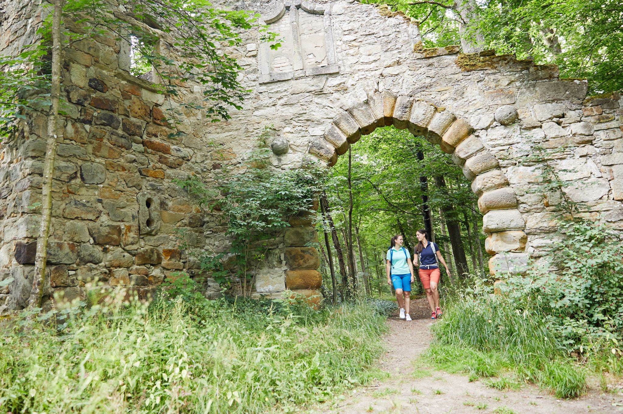
Full of views and fun – VGN leisure tips 2022
Explore southern Germany – hiking and biking with the VGN
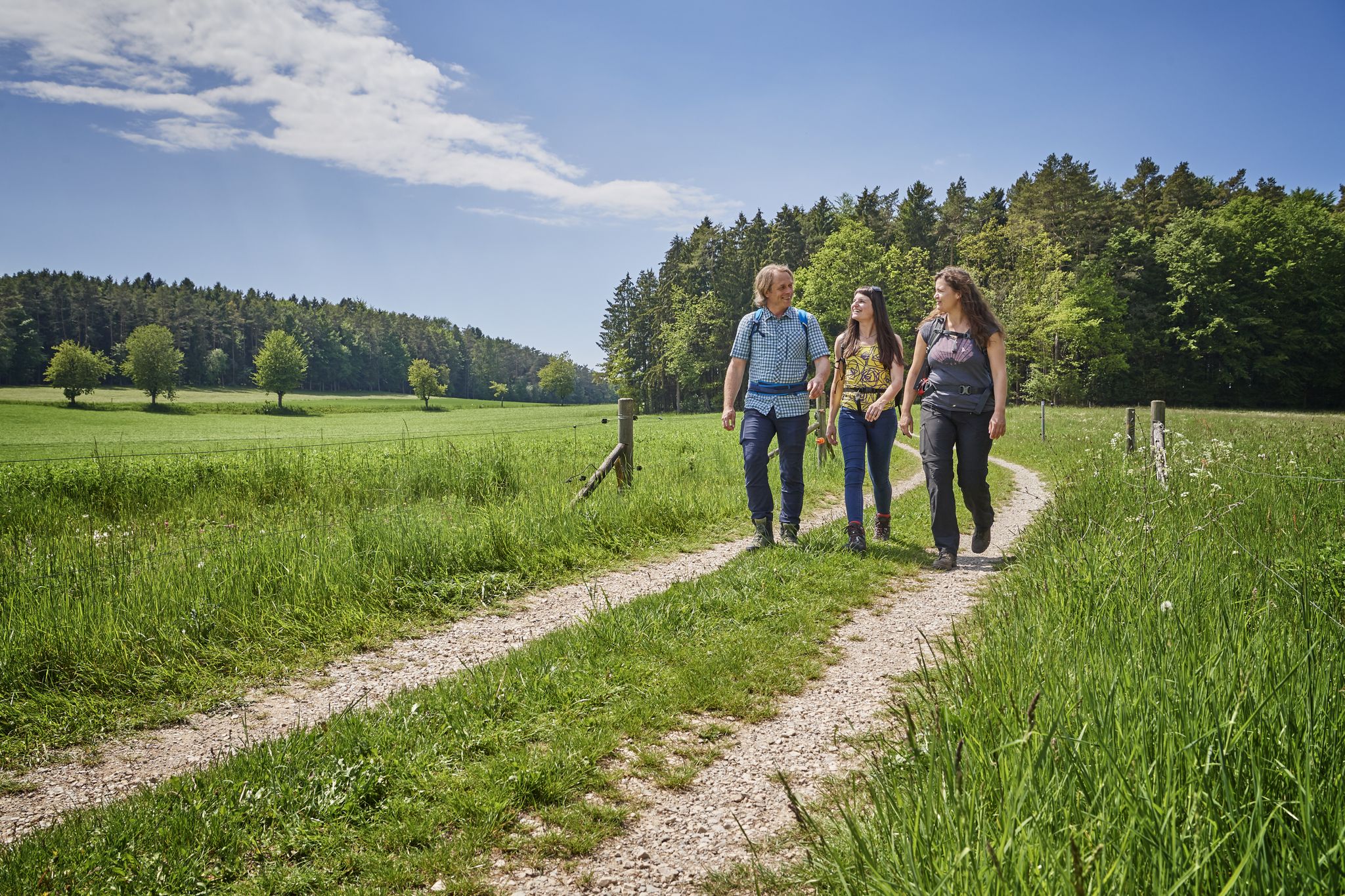
Hops, barley & beer — hiking with VGN leisure tips through Franconia

Hike & Beer in Franconia and Upper Palatinate — the VGN leisure tips
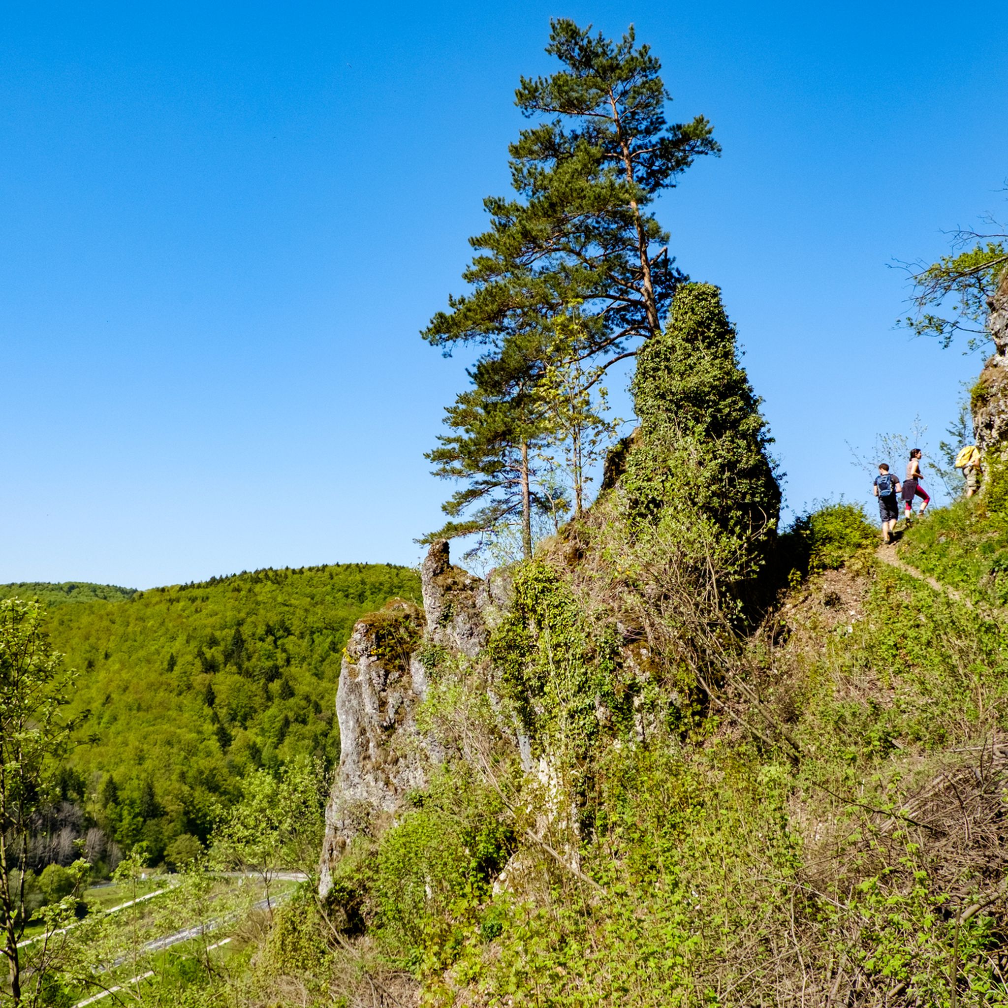
Hiking around Pretzfeld
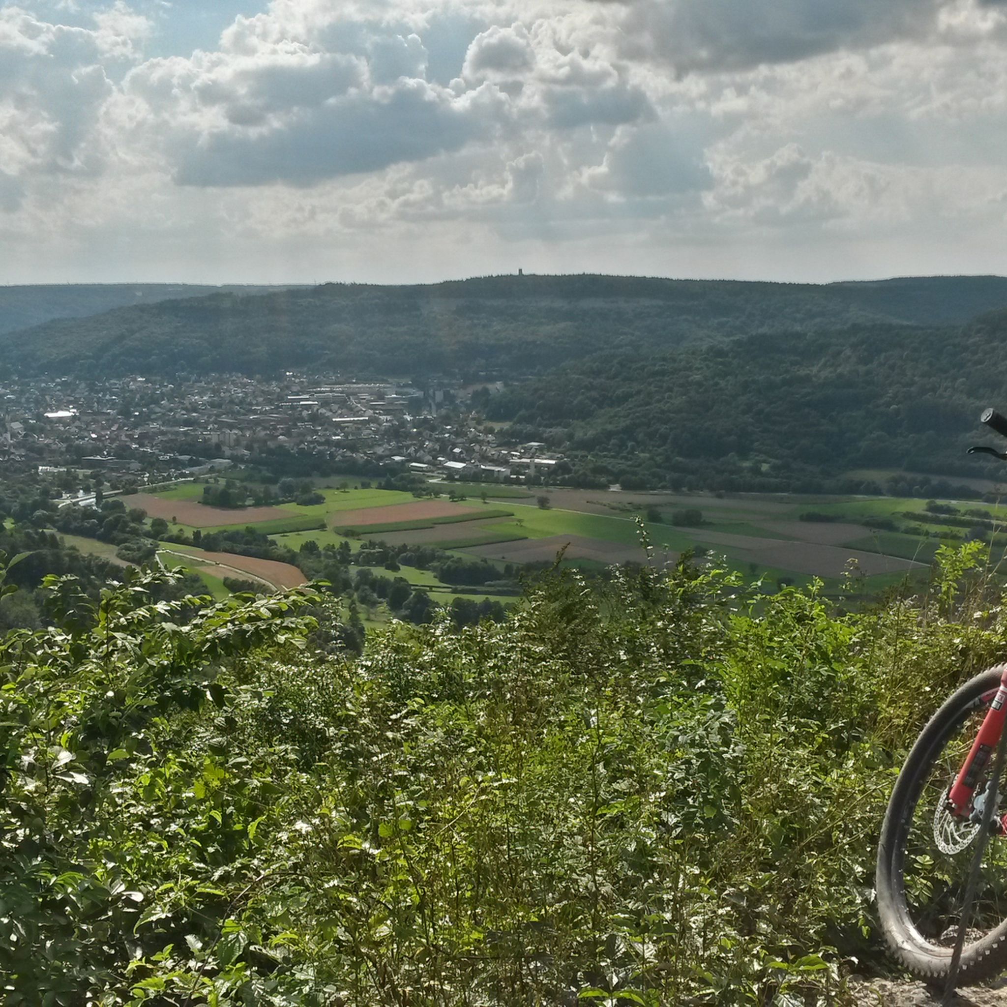
MTB Trails around Pretzfeld
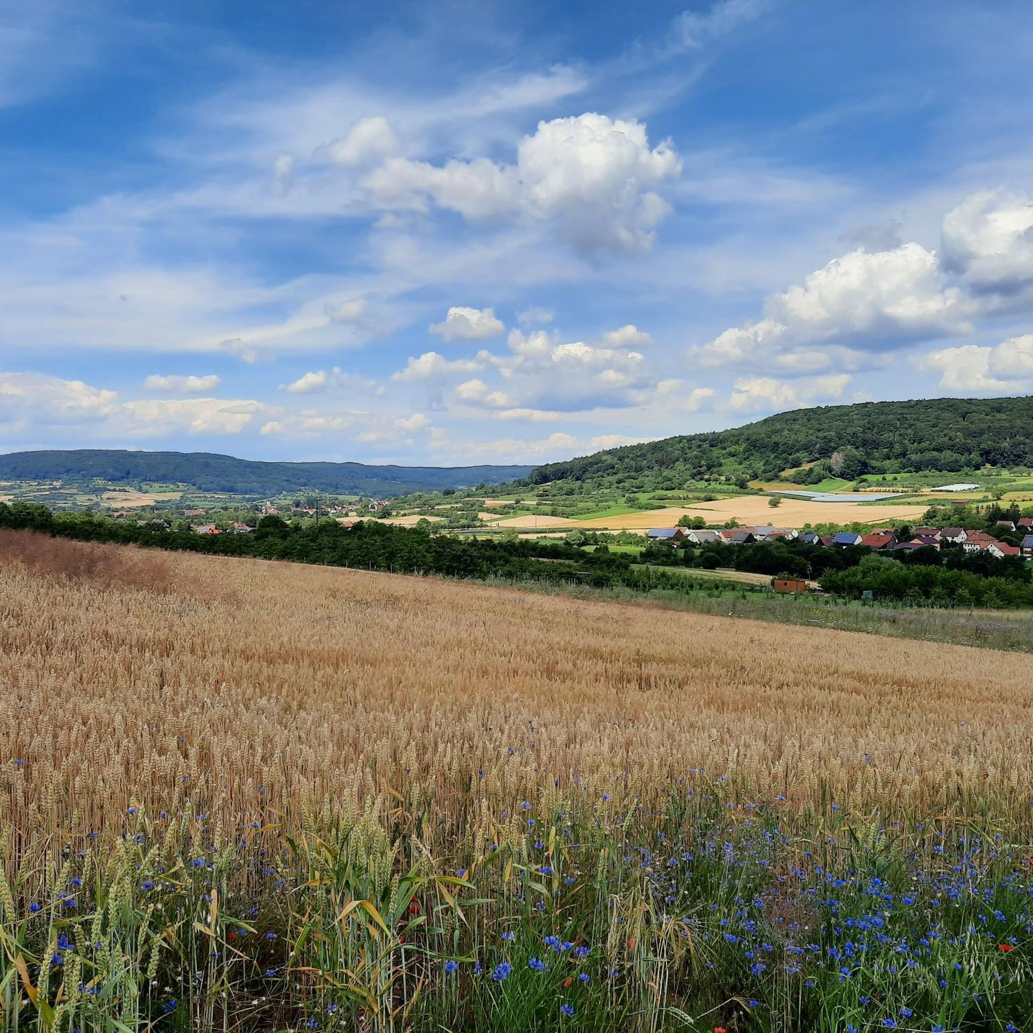
Road Cycling Routes around Pretzfeld
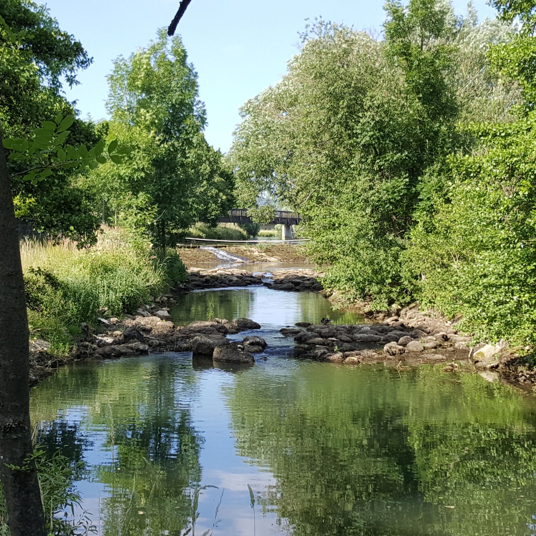
Cycling around Pretzfeld
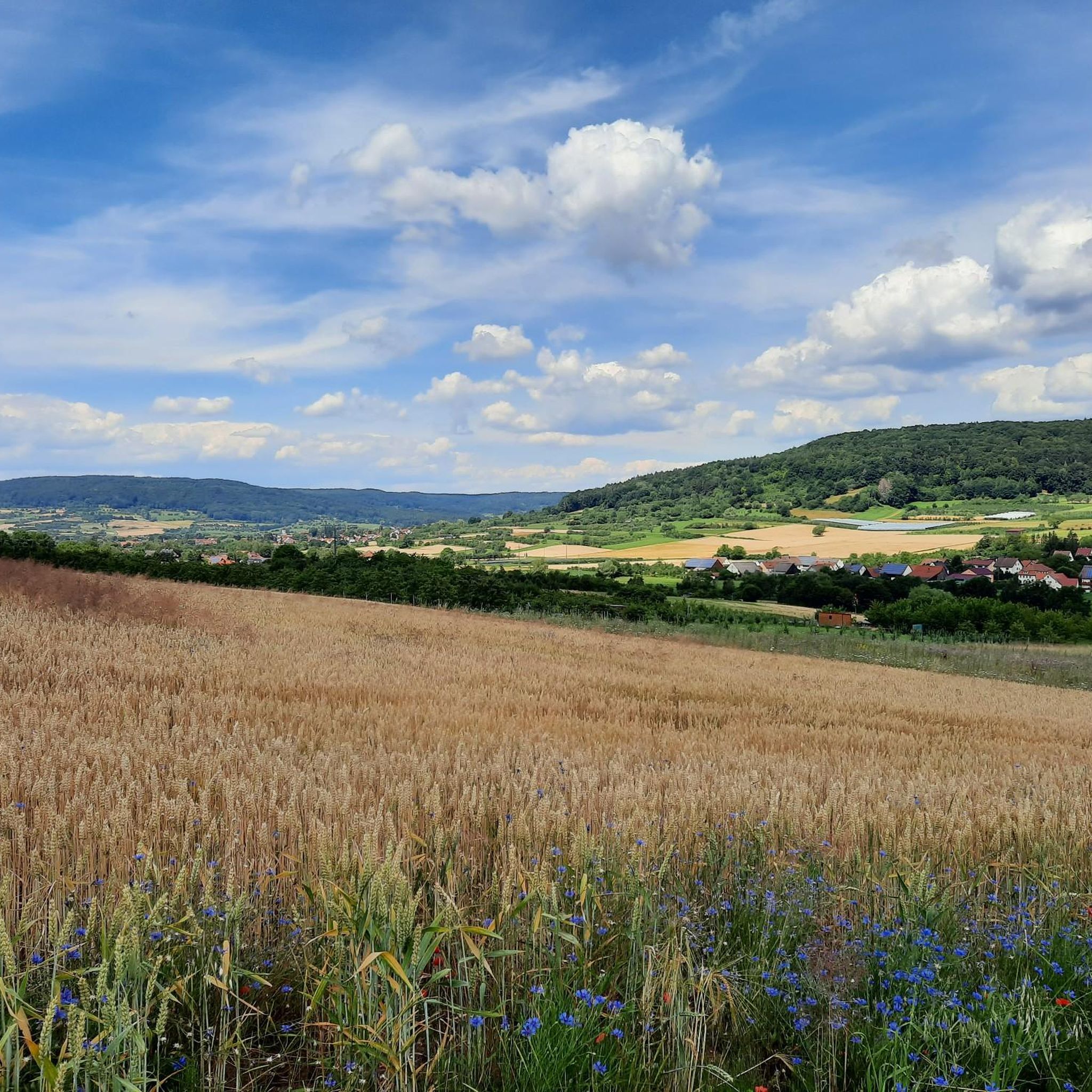
Running Trails around Pretzfeld
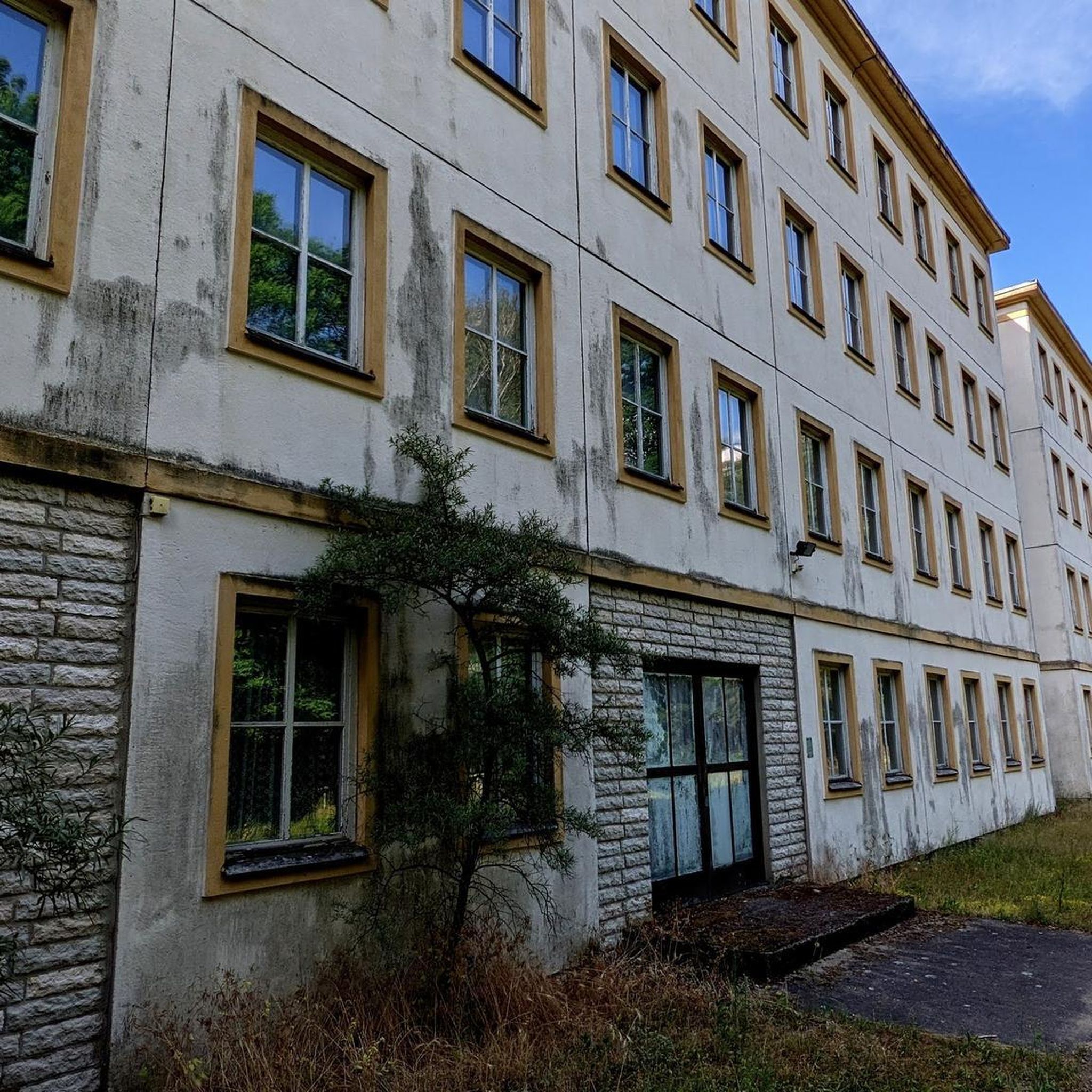
Mountain Hikes around Pretzfeld
Other adventures around Pretzfeld

Tips from the Community

Fascinating rock formations at the Franconian landmark Walberla.
1
0

At almost any time of the year you have a beautiful view of Kirchenehrenbach and the surrounding region from here
5
0

Stone woman, well I would say it's a fat sleeping witch 😂
6
4

There is a bench just below the tower. Ideal for snacks.
15
0

Looks like a rhino. These stones are awesome!
6
4
From here you have the first view. Now it's not far up 🤗 catch one more breath on the bench and let's go!
6
0

Just one of several interesting rock formations in Ehrenbürg
8
1

With its new (built in 2012), 12-meter-high observation tower, the Hohe Kreuz – the highest point of the "hollow mountain" (522 + 12 m) – is now on par with the Adlerstein in height. The view extends over 270° from the Wiesent Valley with the Neideck, across the Aufseß Valley, to the Ochsenkopf in the Fichtel Mountains, and eastward into the Upper Palatinate region – on a clear day! https://www.fraenkische-schweiz.com/detail/id=5f5773735f7f9b38066ef2d9
16
0
Frequently Asked Questions
What are some of the most highly-rated mountain peaks to visit near Pretzfeld?
Visitors frequently praise the View of the Wiesent Valley from the Walberla for its phenomenal 360-degree panorama. Another popular spot is the Hohes Kreuz Observation Tower, offering excellent all-round views near the Oswaldhöhle. The Rodenstein Summit (Ehrenbürg — South Peak) is also a favorite, providing magnificent views from its benches after the ascent.
Are there family-friendly mountain walks around Pretzfeld?
Yes, several routes are suitable for families. The area around the View of Kirchehrenbach from the Pre-Summit Cross is considered family-friendly, offering a rewarding view over the landscape. For an easy hike, consider the Jewish Cemetery Pretzfeld – Pretzfeld Cherry Trail loop, which is a pleasant 5.3 km walk.
What is the best time of year to hike the mountain peaks near Pretzfeld?
The Franconian Switzerland region is beautiful year-round, but the best time for hiking the mountain peaks is typically from spring to autumn (April to October). During these months, the weather is generally mild, and the landscapes are lush. Autumn offers particularly stunning views with vibrant fall foliage.
Are there easy or beginner-friendly mountain hikes in the Pretzfeld area?
Absolutely. For beginners or those seeking an easier path, the View of Walberla – Schlüsselstein Viewpoint loop from Pretzfeld is an easy 6.5 km hike. Another accessible option is the Jewish Cemetery Pretzfeld – Pretzfeld Cherry Trail loop, which is also rated as easy.
Where can I find parking for hiking trails in the Pretzfeld mountains?
Parking is generally available in the villages surrounding the peaks, such as Pretzfeld, Kirchehrenbach, or Muggendorf. Look for designated hiking parking lots (Wanderparkplatz) near popular trailheads. For example, when visiting the Walberla, parking is often found at the base of the Ehrenbürg.
What kind of natural features can I expect to see on these mountain peaks?
The mountain peaks around Pretzfeld are characterized by distinctive limestone formations and verdant valleys. You'll encounter numerous viewpoints offering panoramic vistas, natural rock formations like those on the Ehrenbürg (Walberla), and lush forests. The region is part of Franconian Switzerland, known for its unique geological landscape.
Can I spot wildlife while hiking in the Frankenjura mountains near Pretzfeld?
Yes, the diverse natural landscape of the Frankenjura mountains provides habitats for various wildlife. While hiking, you might spot common forest animals like deer, foxes, and various bird species. Keep an eye out, especially during quieter times of day, for a chance to observe local fauna.
Are there circular mountain walks available near Pretzfeld?
Many of the hiking routes in the region are designed as circular walks, allowing you to return to your starting point. For instance, the Weißenbach Sinter Terraces – Orchards Along the Trubach loop from Pretzfeld is a moderate 10.7 km circular hike that showcases the local scenery.
What other outdoor activities can I do near the mountain peaks around Pretzfeld?
Beyond hiking, the area offers excellent opportunities for road cycling. You can explore routes like the View of Walberla – Burg Feuerstein Pass loop from Pretzfeld. There are also dedicated Mountain Hikes around Pretzfeld for more challenging ascents.
How long does it typically take to hike to the Walberla viewpoint?
The Walberla (part of the Ehrenbürg) is a popular destination. A typical hike to the View of the Wiesent Valley from the Walberla and back, often combined with the Rodenstein Summit, can take anywhere from 1.5 to 3 hours, depending on your pace and the specific route chosen. Shorter loops are available for a quicker visit.
Are there cafes or refreshment stops near the Walberla hike?
While there might not be cafes directly on the Walberla summit, you will find traditional Franconian inns and breweries (Gasthöfe and Brauereien) in the nearby villages such as Kirchehrenbach or Leutenbach. These offer refreshments and local cuisine, perfect for a break before or after your hike.
Can I reach the mountain peaks near Pretzfeld using public transport?
Public transport options, primarily regional bus services, connect Pretzfeld with surrounding villages. While some trailheads might be accessible by bus, direct access to all mountain peaks can be limited. It's advisable to check local bus schedules and routes in advance, especially for specific starting points.
Most popular routes around Pretzfeld
Most popular attractions around Pretzfeld

Get inspired with the komoot mobile app


Explore more
See even more amazing summits around Pretzfeld with these guides:
