The best walks and hikes around Elchesheim-Illingen
4.5
(91)
494
hikers
30
hikes
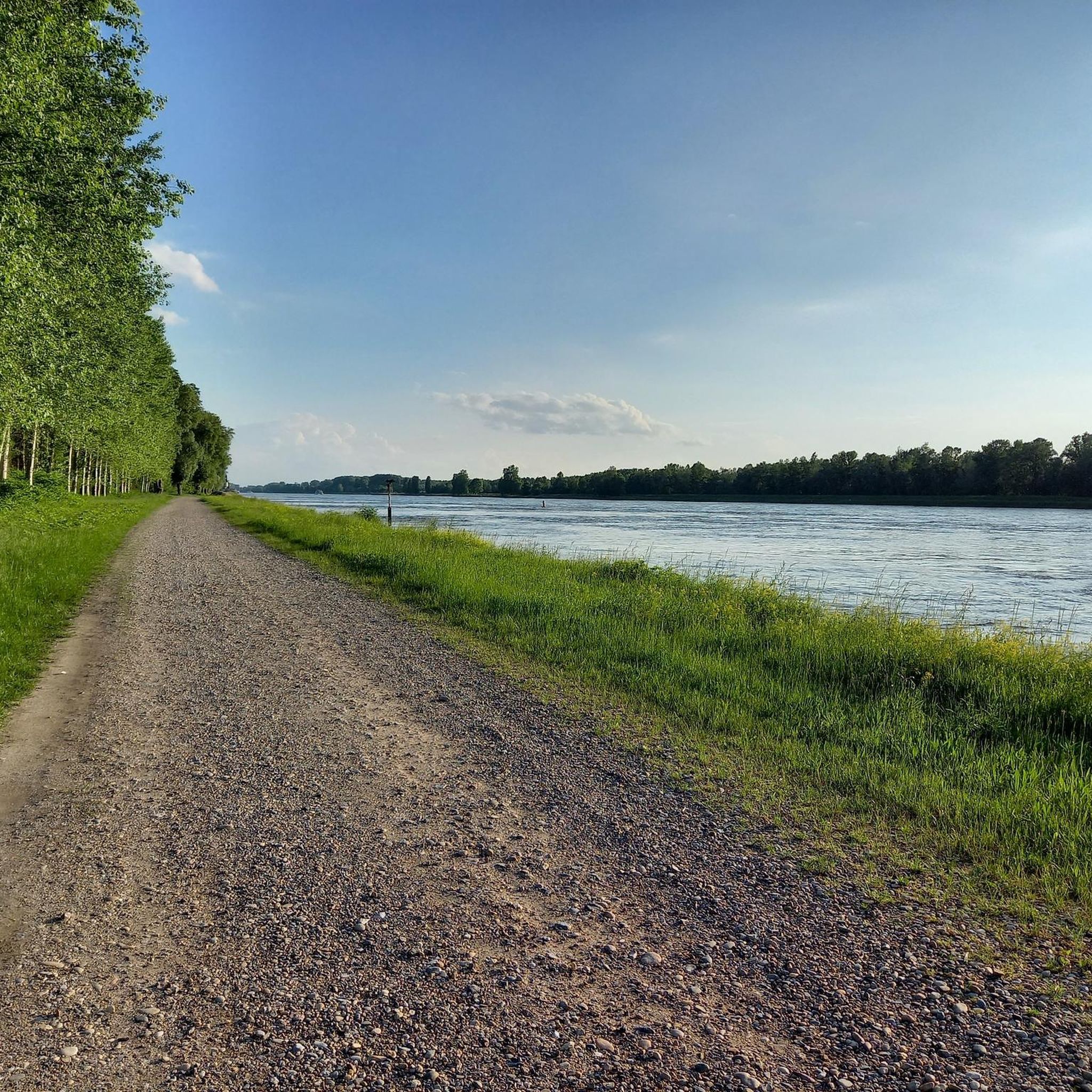
Hiking around Elchesheim-Illingen offers diverse natural landscapes, situated on the western edge of the Black Forest. The region is characterized by scenic forests, the Rhine River, and ancient oxbow lakes known as the "Altrhein." Key features include the Illinger Altrhein, the Illinger Baggersee (gravel pit lake), and the Auer Köpfle – Illinger Altrhein – Motherner Wörth Nature Reserve. This area provides a variety of trails through its unique riverine and forested terrain.
Best hiking trails around Elchesheim-Illingen
- The most popular…
Last updated: July 8, 2026
4.6
(28)
105
hikers
Easy hike. Great for any fitness level. Easily-accessible paths. Suitable for all skill levels.
4.6
(24)
106
hikers
5.09km
01:17
10m
10m
Easy hike. Great for any fitness level. Easily-accessible paths. Suitable for all skill levels.

Sign up for free
3.9
(7)
38
hikers
Moderate hike. Good fitness required. Easily-accessible paths. Suitable for all skill levels.
4.7
(12)
51
hikers
Easy hike. Great for any fitness level. Easily-accessible paths. Suitable for all skill levels.
3.0
(1)
16
hikers
Easy hike. Great for any fitness level. Easily-accessible paths. Suitable for all skill levels.
Get access to more routes and recommendations from other explorers.
Sign up for free
Already have an account?
Our route recommendations are based on thousands of hikes, rides, and runs completed by other people on komoot.
Start today with a free account
Your next adventure awaits.
Login or Signup
Tips from the Community

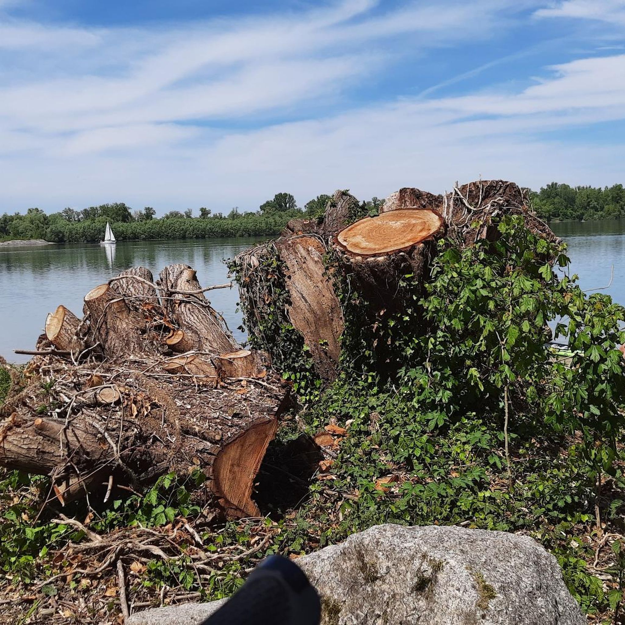
Beautiful sandy beach - good for swimming here, if the beach isn't underwater due to high water levels 😉
3
0
Very large excavated lake in the Rhine floodplains - the largest in Baden-Württemberg. Great hiking trails and all kinds of water sports. Accessible by large cargo ships via a navigable connection to the Rhine. Interesting history: in the early 1930s, gravel wasn't being excavated yet, but gold - the Nazis were searching for the legendary Rhine gold here. However, the yield was so low that they switched to gravel excavation after a few years.
4
0
Beautiful lake in the nature reserve, where dredging has not taken place since 2004. A small path leads around the lake. Not recommended during or after heavy rain, as it gets quite muddy and the fords (connections between the lake and the Goldkanal) are then no longer passable with dry feet.
4
0
The largest of several connections between the Illinger Baggersee and the Goldkanal. Mostly crossable with dry feet. Very beautiful views in both directions.
4
0
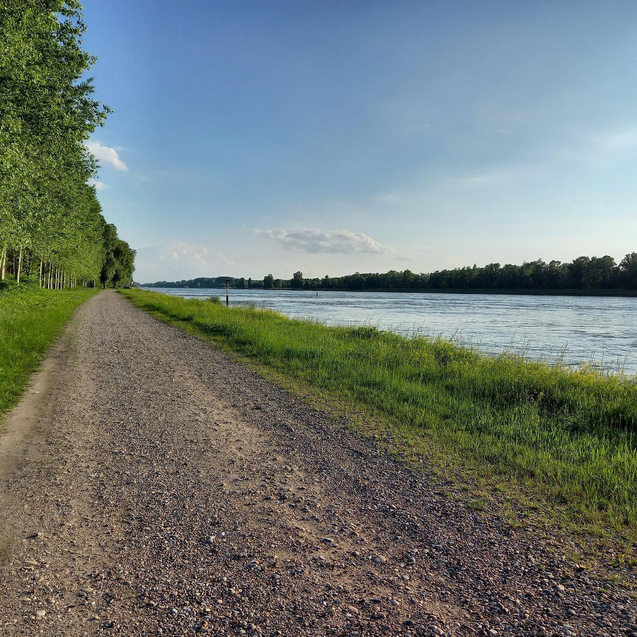
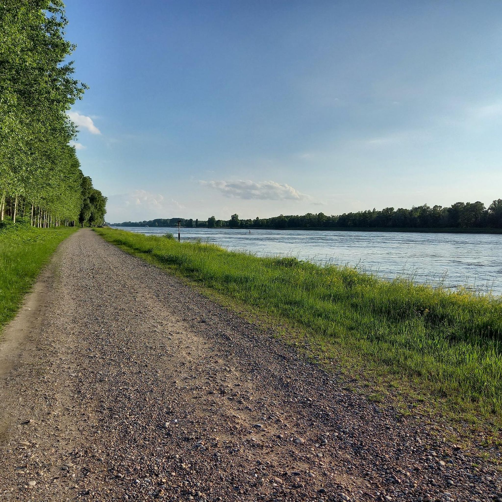
Small bridge on the main path with beautiful views of the water-rich Rhine floodplains on both sides.
4
0
After the merger of the municipalities of Illingen and Elchesheim in 1971, a new church was built. The previous churches were deconsecrated - in Illingen, the local history museum „Arbeit am Rhein“ has been housed in the old church since 1994.
3
0
Since 1990, designated nature reserve on the municipal areas of Illingen and Au am Rhein. Large Rhine floodplains, a gravel pit lake, and many nesting sites for birds.
3
0
View over the Tomateninseln to the French side towards Lauterbourg.
6
0
Frequently Asked Questions
How many hiking trails are available around Elchesheim-Illingen, and what are their difficulty levels?
Elchesheim-Illingen offers a wide range of hiking opportunities, with over 30 trails to explore. The majority of these, 26 to be exact, are classified as easy, making them suitable for most hikers. There are also 5 moderate trails for those seeking a bit more challenge, but no difficult routes.
What kind of natural landscapes can I expect to see while hiking in Elchesheim-Illingen?
The region is characterized by its unique riverine and forested terrain. You'll encounter picturesque forests, the majestic Rhine River, and ancient oxbow lakes known as the "Altrhein." Key features include the serene Illinger Altrhein, the Illinger Baggersee (a gravel pit lake), and the expansive Auer Köpfle – Illinger Altrhein – Motherner Wörth Nature Reserve.
Are there any family-friendly hiking trails in Elchesheim-Illingen?
Yes, Elchesheim-Illingen is an excellent destination for family hikes, with many easy trails. A great option is the Illinger Baggersee – Illinger Ford loop from Elchesheim-Illingen, which is an easy 3.2-mile (5.1 km) path exploring the area around the Illinger Baggersee, providing accessible walking for all ages.
Can I bring my dog on the hiking trails in Elchesheim-Illingen?
Many trails in Elchesheim-Illingen are dog-friendly, allowing you to enjoy the natural beauty with your canine companion. It's always recommended to keep dogs on a leash, especially within nature reserves like the Auer Köpfle – Illinger Altrhein – Motherner Wörth, to protect local wildlife.
Are there any circular hiking routes available?
Yes, many of the trails around Elchesheim-Illingen are circular, offering convenient starting and ending points. For example, the Illinger Baggersee – South Shore of Goldkanal loop from Silberweidenwald Steinmauern is an easy 3.5-mile (5.7 km) circular route that takes about 1 hour 26 minutes to complete.
What are some notable natural features or landmarks to look out for on the trails?
Hikers can discover several interesting natural features. The Illinger Altrhein is a central element with beautiful narrow paths and giant poplars. The Fermasee South Shore and the Federbachbruch Nature Reserve are also nearby. Keep an eye out for the unique Tomateninseln (Tomato Islands) within the nature reserve, which are gravel breeding areas for birds.
Are there opportunities for swimming along the hiking routes?
Yes, the breathtaking landscape around the Illinger Altrhein quarry pond (Illinger Baggersee) is ideal for swimming and sunbathing, especially during warmer months. Some trails, like the Sandy Beach at Goldkanal – Gold Canal loop from Elchesheim-Illingen, offer views of the Goldkanal, which also features a sandy beach.
What is the typical duration of hikes in this area?
Hikes in Elchesheim-Illingen vary in length and duration. Many easy loops, such as the Netze BW Utility Box Murals – Scheidgraben loop from Elchesheim-Illingen, can be completed in about 1.5 to 2 hours. Longer, moderate routes like the Along the Old Rhine – Concrete bridge in the Rhine meadows loop from Elchesheim-Illingen can take around 3.5 hours.
What do other hikers enjoy most about hiking in Elchesheim-Illingen?
The area is highly rated by the komoot community, with an average score of 4.5 stars from around 80 reviews. Hikers often praise the diverse natural landscapes, the serene beauty of the Altrhein oxbow lakes, and the well-maintained network of trails that cater to various ability levels.
Is there public transport access to the hiking trails?
While specific public transport connections to every trailhead may vary, Elchesheim-Illingen is generally accessible. It's advisable to check local bus schedules or regional train connections to nearby towns and then plan your route to the trailheads. Many trails are easily accessible from the town center.
Are there any long-distance hiking trails that pass through Elchesheim-Illingen?
Yes, the Rheinauenweg Karlsruhe-Kehl, a notable long-distance hiking trail, passes through the area. This offers seasoned hikers the opportunity to explore extensive routes and experience the region's natural beauty over a longer period.
Most popular routes around Elchesheim-Illingen
Most popular attractions around Elchesheim-Illingen

Get inspired with the komoot mobile app


Explore more
Browse the best Hikes in other regions.
