The best running trails around Danby
4.4
(7)
632
runners
40
runs
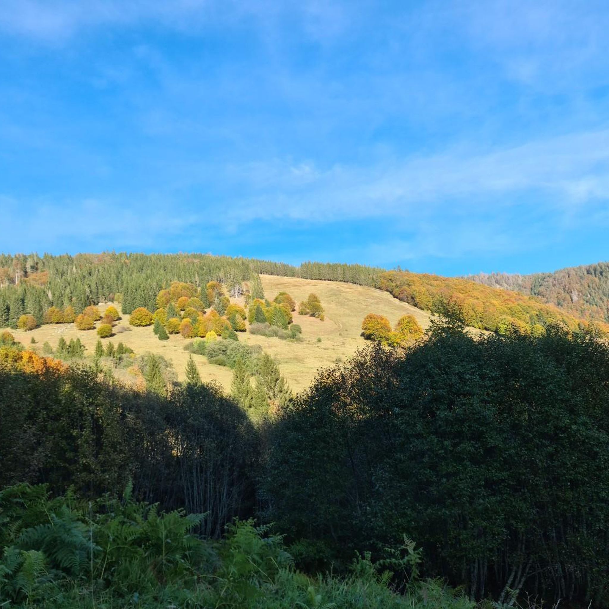
Jogging around Danby offers diverse landscapes, from the moorland and farmland of the North York Moors in the UK to the valley panoramas of Vermont, USA. The region features a mix of flatland, rolling hills, and steeper ridgelines, providing varied terrain for runners. Trails often traverse areas with significant elevation changes, alongside natural features like streams and forests. This geographical variety ensures a range of running experiences for different fitness levels.
Best jogging routes around Danby
- The most popular jogging…
Last updated: October 1, 2026
27
runners
Hard run. Very good fitness required. Mostly paved surfaces. Suitable for all skill levels.
5.0
(1)
16
runners
Moderate run. Good fitness required. Mostly paved surfaces. Suitable for all skill levels.

8
runners
5.96km
00:41
100m
100m
Moderate run. Good fitness required. Mostly paved surfaces. Suitable for all skill levels.
16
runners
10.7km
01:18
220m
220m
Moderate run. Good fitness required. Mostly paved surfaces. Suitable for all skill levels.
13
runners
9.21km
00:58
80m
80m
Moderate run. Good fitness required. Mostly paved surfaces. Suitable for all skill levels.
Get access to more routes and recommendations from other explorers.
Already have an account?
Our route recommendations are based on thousands of hikes, rides, and runs completed by other people on komoot.


Tips from the Community


The South Hill Recreation Way is a great rail trail that follows an edge of the Six Mile Creek gorge. The trail is made of gravel and is mostly flat, so it is not too challenging.
0
0

The Rim Trail, just about a mile long, leads visitors to breathtaking views of Buttermilk Creek as it drops 600 feet through a gorge on the eastern slope of the Cayuga Valley, at the southern edge of Ithaca. This trail is one of six featured in Buttermilk Falls State Park. The interconnected trail system has an earth surface marked with blue blazes. The trail is open year-round and is beautiful anytime.
0
0
The Old Mill at Robert H. Treman State Park is a historic gristmill from 1839. It has three runs of stones designed for grinding buckwheat, wheat, and coarser grains. Today, the Old Mill has a small museum where visitors can learn about the area's history.
0
0
The Rim Trail Trailhead is where the Gorge Trail and Rim Trail begin. There is a parking area with restrooms and a drinking fountain.
1
0

This paved bike path takes you from the edge of Cornell University just over a mile to Game Farm Road. The path parallels Cascadilla Creek and is in the trees almost the whole way. This is a fantastic way to get out of town and into the green countryside east of Ithaca.
0
0
Wooden structure with slides and different areas to climb. There is also a picnic table, so it is a good place to stop for a break as you walk along the South Hill Recreation Way.
1
0
The Rim Trail, just about a mile long, leads visitors to breathtaking views of Buttermilk Creek as it drops 600 feet through a gorge on the eastern slope of the Cayuga Valley, at the southern edge of Ithaca. This trail is one of six featured in Buttermilk Falls State Park. The interconnected trail system has an earth surface marked with blue blazes. The trail is open year-round and is beautiful anytime.
0
0
Frequently Asked Questions
How many running routes are available around Danby?
There are over 40 running routes around Danby, offering a wide range of options for different fitness levels. You'll find everything from easy paths to more challenging trails with significant elevation changes.
Are there any easy jogging routes for beginners in Danby?
Yes, Danby offers some easier jogging routes, though the majority are considered moderate. These routes typically feature less elevation gain and more even terrain, making them suitable for those new to running or looking for a more relaxed pace.
What kind of terrain can I expect on jogging trails in Danby?
The terrain around Danby is quite varied. You can expect a mix of flatlands, rolling hills, and steeper sections. Some trails, particularly in areas like Danby State Forest (Vermont), feature uneven ground, rocks, and roots, while others might traverse farmland or moorland, offering different surfaces.
Are there any running routes in Danby that feature waterfalls?
Absolutely! Several running routes in the Danby area offer stunning views of waterfalls. For example, the Lucifer Falls – Lick Brook Falls loop takes you past impressive cascades like Lucifer Falls. You can also explore routes near Buttermilk Falls and Triphammer Falls.
What do other runners enjoy most about jogging in Danby?
The running routes in Danby are highly rated by the komoot community, with an average score of 4.3 stars from over 4 reviews. Runners often praise the diverse landscapes, from scenic valley panoramas to forested trails, and the variety of options for different ability levels.
Are there any long-distance running trails for experienced runners?
Yes, for experienced runners seeking a challenge, Danby offers several longer and more difficult routes. The Rim Trail – Lake Treman loop, for instance, is a challenging 17.5-mile (28 km) route with significant elevation changes, perfect for a longer run.
Can I find circular running routes in Danby?
Many of the running routes around Danby are designed as loops, allowing you to start and finish in the same location. Examples include the Lucifer Falls – Lick Brook Falls loop and the Lake Treman – Rim Trail loop, providing convenient options for your run.
Are there any specific landmarks or points of interest I can see while running?
Beyond the natural beauty, you can encounter several points of interest. The Rim Trail at Buttermilk Falls State Park and the Rim Trail Trailhead at Robert H. Treman State Park are notable features. You'll also find various scenic overlooks and natural preserves along the routes.
What are the elevation changes like on Danby's running trails?
Danby's running trails feature a wide range of elevation changes. Some routes offer gentle inclines, while others, particularly those in the North York Moors (UK) or Danby State Forest (Vermont), can have significant elevation gains, sometimes exceeding 1000 feet over several miles, providing a good workout.
Are there any running routes that are particularly scenic?
Many routes in Danby are highly scenic. The region is known for its beautiful valley panoramas, views across Esk Dale and Little Fryup Dale (UK), and forested trails. Routes like the Lake Treman – Rim Trail loop offer particularly picturesque views around the lake and along the gorge.
How can I find a running route that suits my fitness level?
Komoot categorizes routes by difficulty: easy, moderate, and difficult. You can filter routes to find those that match your fitness level. Danby offers a good mix, with 1 easy route, 28 moderate routes, and 11 difficult routes, ensuring options for everyone.
Are there any running routes that are less crowded?
While specific crowd levels can vary, exploring routes during off-peak hours or choosing trails slightly further from popular attractions can often lead to a more solitary running experience. Many of Danby's trails traverse natural preserves and less-traveled areas, offering opportunities for peaceful runs.
Most popular routes around Danby
Most popular attractions around Danby

Get inspired with the komoot mobile app


Explore more
Browse the best Running Trails & Routes in other regions.
