The best road cycling routes around Myers Corner
4.9
(26)
789
riders
71
rides
Road cycling routes around Myers Corner traverse a landscape characterized by varied terrain, including rolling hills and routes that follow the shores of Whaley Lake. The region features a mix of open roads and paths that connect local towns and natural areas. Elevation changes are present, with some routes offering climbs over 400 meters.
Best road cycling routes around Myers Corner
- The most popular road cycling route is Whaley Lake – Whaley Lake loop from Lake Walton Trailhead, a…
Last updated: October 9, 2026
5.0
(12)
124
riders
Easy road ride. Great for any fitness level. Mostly well-paved surfaces and easy to ride.
5.0
(1)
8
riders
41.6km
02:01
440m
440m
Moderate road ride. Good fitness required. Mostly well-paved surfaces and easy to ride.

8
riders
66.3km
03:23
640m
640m
Moderate road ride. Good fitness required. Mostly well-paved surfaces and easy to ride.
4
riders
39.5km
01:48
330m
330m
Moderate road ride. Good fitness required. Mostly well-paved surfaces and easy to ride.
5
riders
44.2km
02:10
370m
370m
Moderate road ride. Good fitness required. Mostly well-paved surfaces and easy to ride.
Get access to more routes and recommendations from other explorers.
Already have an account?
Our route recommendations are based on thousands of hikes, rides, and runs completed by other people on komoot.
Start today with a free account
Your next adventure awaits.
Popular around Myers Corner
Tips from the Community

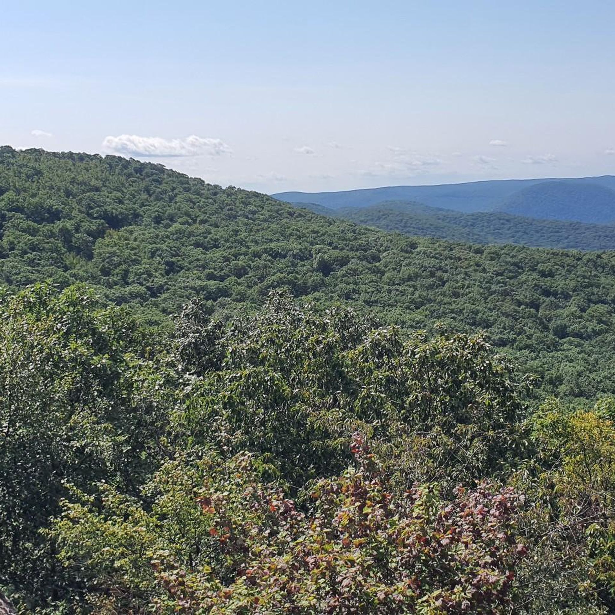
If you're in New York and want to go hiking, this is the ideal place. Easily accessible by train, scenically beautiful, and interwoven with many trails of varying difficulty.
1
0


Mount Beacon Park, part of the Hudson Highlands State Park Preserve, is beautiful, with fantastic hiking trails and spectacular panoramic views. The park's trails, which range from moderate to challenging, lead to the summit of South Beacon Mountain, with a restored 60-foot fire tower, offering breathtaking vistas that stretch from the Manhattan skyline to the Catskill Mountains, especially on a clear day. The park is also home to the remnants of the historic Mount Beacon Incline Railway, once the world's steepest, and the foundations of an old casino and hotel, adding a unique historical dimension to the natural beauty of this area.
0
0

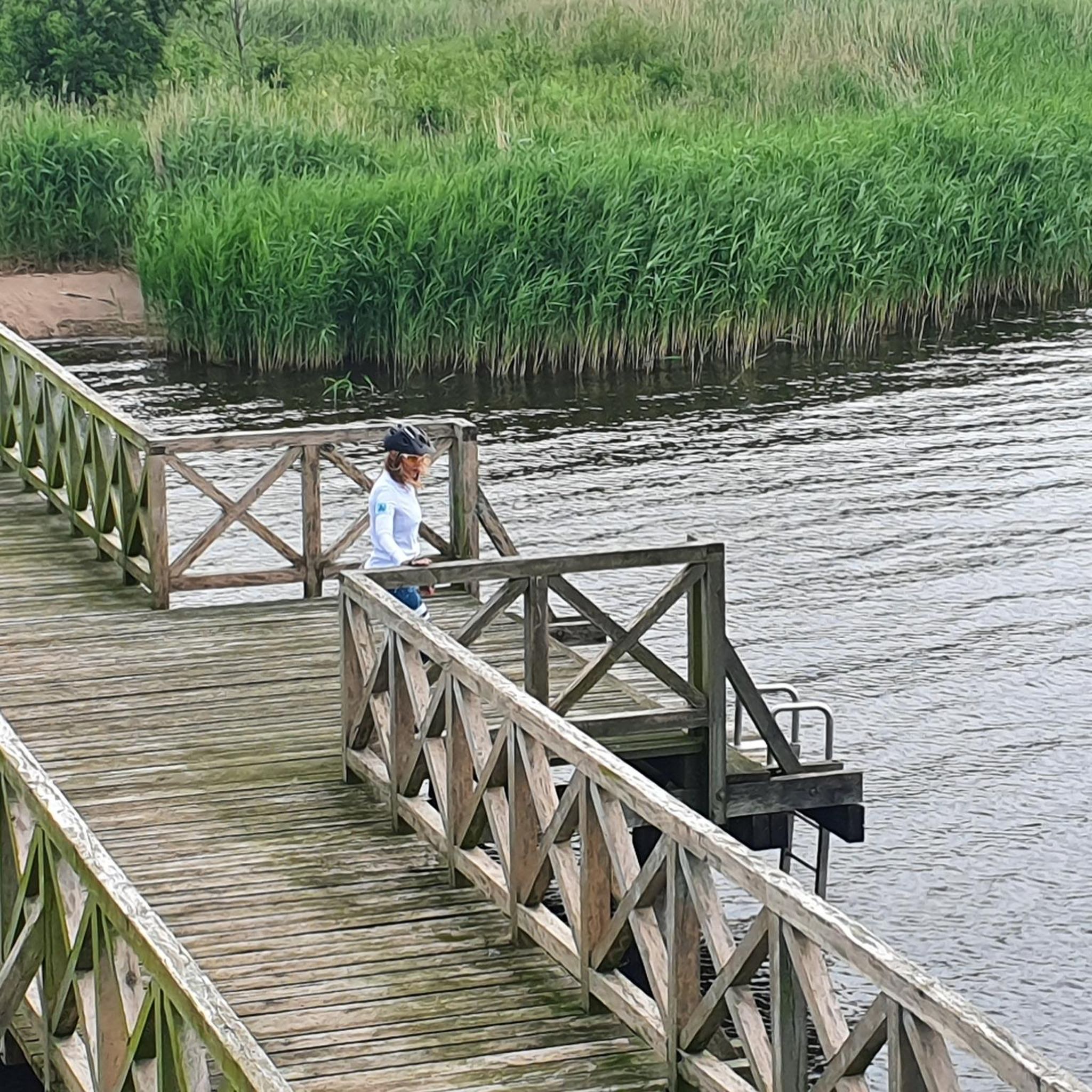
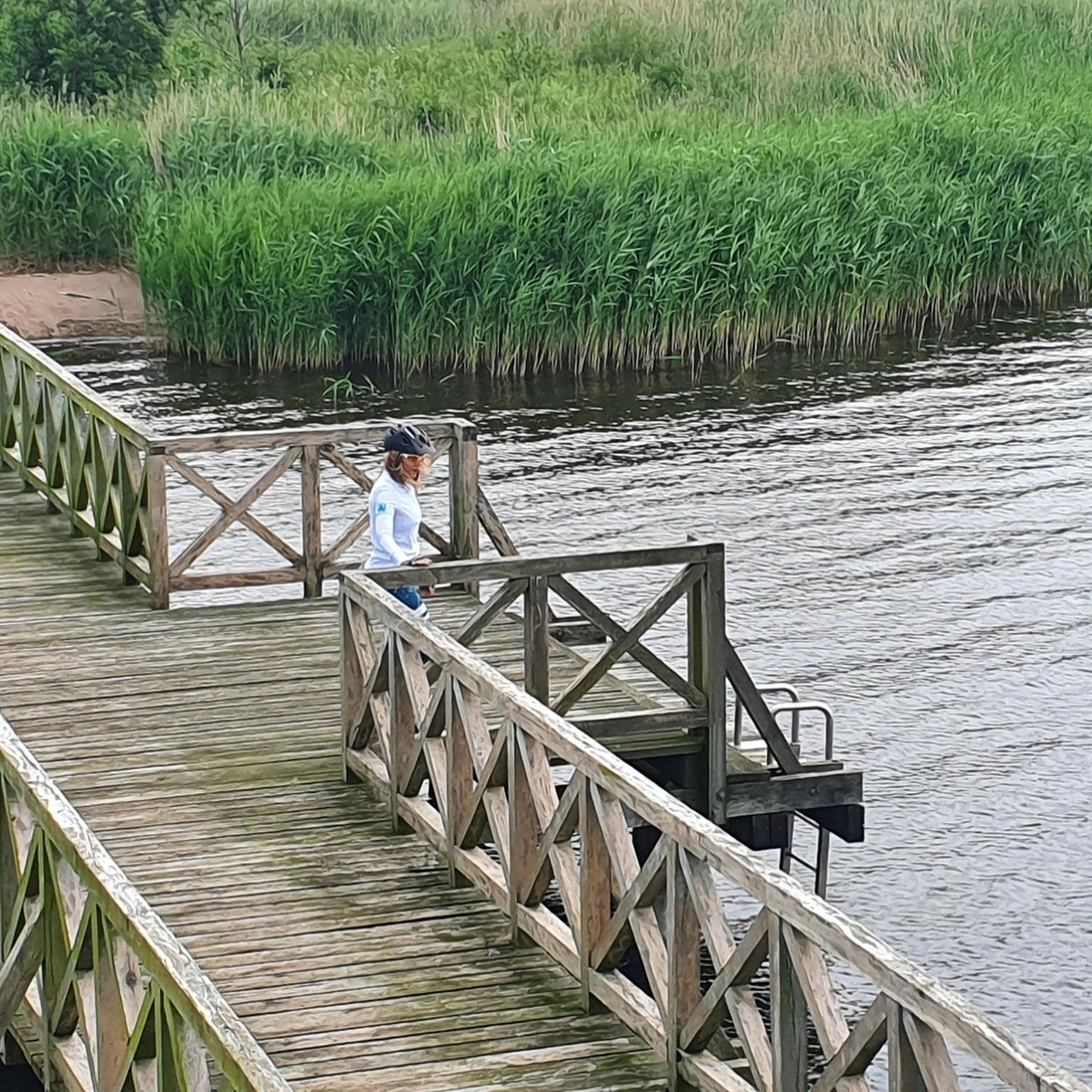
The Walkway Over the Hudson, also known as the Poughkeepsie Bridge, is a steel cantilever bridge spanning the Hudson River between Poughkeepsie and Highland. Originally it was built as a railroad bridge in 1889, then closed in 1974 due to fire damage and later reopened as a pedestrian walkway in 2009. It connects the Hudson Valley Rail Trail with the Dutchess Rail Trail and is part of the Empire State Trail. Stretching 6,768 feet, it was the world’s longest pedestrian footbridge until 2016. The bridge is free to access and welcomes cyclists as well as foot traffic.
0
0

The Dutchess Rail Trail is a 13 mile traffic free path. It is built on an abandoned railway line. The trail runs from Hopewell Junction to the Walkway Over the Hudson in the City of Poughkeepsie
0
0


Quiet and not busy for cyclists compared to Tapan Zee or GWB.
0
0
Frequently Asked Questions
What kind of terrain can I expect on road cycling routes around Myers Corner?
Road cycling routes in Myers Corner feature a diverse landscape, including rolling hills and paths that follow the shores of Whaley Lake. You'll find a mix of open roads and routes connecting local towns and natural areas. Expect elevation changes, with some climbs exceeding 400 meters.
How many road cycling routes are available in Myers Corner?
There are nearly 70 road cycling routes available around Myers Corner, catering to various skill levels. This includes 18 easy, 46 moderate, and 5 difficult routes.
Are there any easy road cycling routes suitable for beginners in Myers Corner?
Yes, Myers Corner offers 18 easy road cycling routes perfect for beginners or those looking for a relaxed ride. An example is the Whaley Lake – Whaley Lake loop from Fishkill Plains Trail Side Access, which is about 45.7 km with moderate elevation gain.
What are some challenging road cycling routes in the Myers Corner area?
For experienced cyclists seeking a challenge, Myers Corner has 5 difficult routes. These often feature significant elevation changes and longer distances. Consider routes that explore the more mountainous parts of the region for a demanding ride.
What do other road cyclists enjoy most about the routes in Myers Corner?
The road cycling routes in Myers Corner are highly rated by the komoot community, with an average score of 4.9 stars from over 30 reviews. Cyclists often praise the varied terrain, scenic lake views, and the well-connected network of roads that allow for diverse riding experiences.
Are there any loop road cycling routes around Myers Corner?
Yes, many routes in Myers Corner are designed as loops, offering convenient starting and ending points. For instance, the Mount Beacon Park loop from Village of Wappingers Falls is a moderate 41.6 km route with over 430 meters of elevation gain.
What kind of elevation changes can I expect on road cycling routes in Myers Corner?
Road cycling routes in Myers Corner feature noticeable elevation changes, ranging from gentle inclines to more challenging climbs. Some routes include ascents of over 400 meters, providing good opportunities for training and scenic views from higher points.
What interesting landmarks or attractions can I see along road cycling routes in Myers Corner?
While cycling around Myers Corner, you can encounter several points of interest. Notable attractions include the Ruins of the Mount Beacon Incline Railway Powerhouse, the historic Hopewell Junction Train Station, and the natural beauty of Brook Falls. Many routes also offer views of Whaley Lake and the Newburgh-Beacon Bridge.
Are there any family-friendly road cycling options in Myers Corner?
While many road cycling routes involve public roads, some of the easier routes or those utilizing rail trails can be more suitable for families. Look for routes with lower elevation gains and less traffic, often found on designated paths or quieter country roads.
What is the best time of year to go road cycling in Myers Corner?
The best time for road cycling in Myers Corner is typically from spring through fall, when the weather is mild and the scenery is vibrant. Summer offers warm temperatures, while spring and autumn provide cooler rides and beautiful foliage. Winter cycling is possible but requires appropriate gear for colder conditions.
Are there road cycling routes that offer scenic views of lakes or rivers in Myers Corner?
Yes, many road cycling routes in Myers Corner are designed to showcase the region's natural beauty. You can find routes that follow the shores of Whaley Lake, offering picturesque water views. Other routes may provide glimpses of the Hudson River, particularly those near the Newburgh-Beacon Bridge.
Most popular routes around Myers Corner
Most popular attractions around Myers Corner

Get inspired with the komoot mobile app


Explore more
Browse the best Road cycling routes in other regions.
