The best MTB trails around Ellersleben
4.5
(72)
114
riders
39
rides
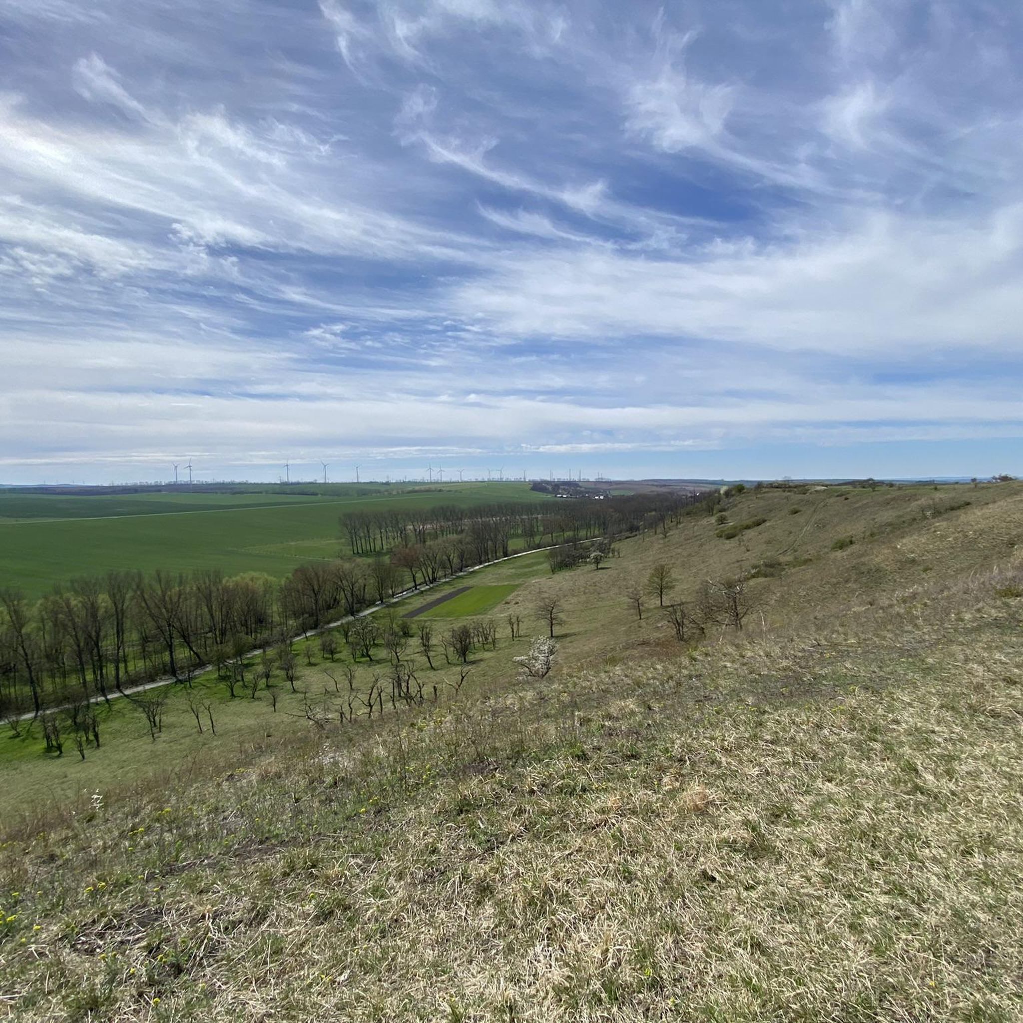
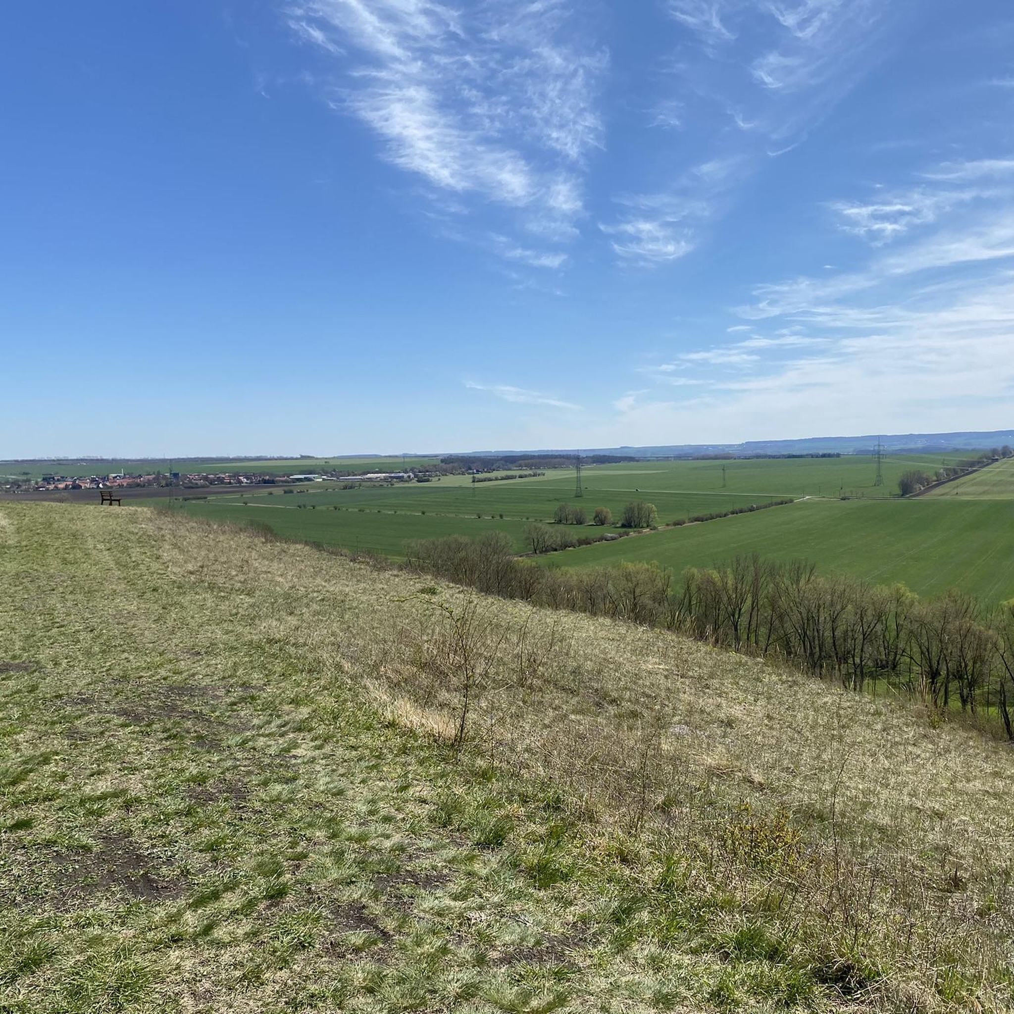
Mountain biking around Ellersleben features a landscape characterized by rolling hills, river valleys, and forested areas. The region offers a mix of open paths and trails winding through woodlands. Elevation changes are generally moderate, providing varied terrain for mountain bikers. The area includes natural features such as the Unstrut river and several forest sections.
Best mountain bike trails around Ellersleben
- The most popular mountain bike trail is Rabenswald Trail – Wiehe Outdoor Pool loop from Kölleda, a 23.6 miles…
Last updated: October 11, 2026
5.0
(1)
8
riders
37.9km
02:59
470m
470m
Moderate mountain bike ride. Good fitness required. Suitable for all skill levels.
5.0
(1)
6
riders
Moderate mountain bike ride. Good fitness required. Suitable for all skill levels.

5.0
(4)
9
riders
45.0km
03:40
660m
660m
Moderate mountain bike ride. Good fitness required. Suitable for all skill levels.
4
riders
32.2km
01:49
60m
60m
Easy mountain bike ride. Great for any fitness level. Suitable for all skill levels.
2
riders
Moderate mountain bike ride. Good fitness required. Advanced riding skills necessary.
Get access to more routes and recommendations from other explorers.
Already have an account?
Our route recommendations are based on thousands of hikes, rides, and runs completed by other people on komoot.
Start today with a free account
Your next adventure awaits.
Tips from the Community

Beautiful suspension bridge completed in 2019. It is 180 meters long and 23 meters high. The maximum passage width is 0.85 meters. A highlight, in my opinion, is the "Brüchenbuch", where you can document your impressions. The signage and parking facilities leave something to be desired.
1
0
Beautiful suspension bridge completed in 2019. It is 180 meters long and 23 meters high. The maximum passage width is 0.85 meters. A highlight, in my opinion, is the "Brüchenbuch" (book of impressions) where you can document your experiences. The signage and parking facilities leave something to be desired.
1
0

Buchenwald Concentration Camp, officially KL Buchenwald, was one of the largest concentration camps on German soil. It operated as a forced labor camp on the Ettersberg hill near Weimar between July 1937 and April 1945. A total of approximately 277,800 people from 50 countries were imprisoned in Buchenwald during this period.[1] The death toll is estimated at around 56,000, including 15,000 Soviet citizens, 7,000 Poles, 6,000 Hungarians, and 3,000 French citizens.[2] As the 3rd US Army approached on April 11, 1945, the prisoners took control of the camp from the retreating SS, arrested 125 of the guards, opened the gates, and raised a white flag.
7
0
If you are here, you should also stop at the memorial.
2
0

The restaurant is still open - good for all hikers, cyclists...
1
0

What good is a restaurant for a hiker in the late afternoon? It's a shame. I rely on self-catering and no longer rely on opening hours from 5 PM Thursday to Saturday. It's best to bring everything yourself. 🤷♂️😉
1
0

Lossa crossing, bridge near Leubingen
3
0

Rest area at the Thuringian Gate
0
0
Frequently Asked Questions
How many mountain bike trails are there around Ellersleben?
There are over 40 mountain bike trails available around Ellersleben on komoot, offering a variety of experiences for different skill levels.
What is the general difficulty level of mountain bike trails in Ellersleben?
The mountain bike trails around Ellersleben are predominantly moderate, with 38 routes falling into this category. There are also 5 easy trails suitable for beginners, but no difficult trails are listed.
Are there any beginner-friendly mountain bike trails in Ellersleben?
Yes, there are 5 easy mountain bike trails around Ellersleben. A good option for beginners is the Unstrut Cycle Path – Lossa Bridge at Leubingen loop from Kölleda, which is 32.2 km long with minimal elevation gain.
What kind of terrain can I expect on mountain bike trails near Ellersleben?
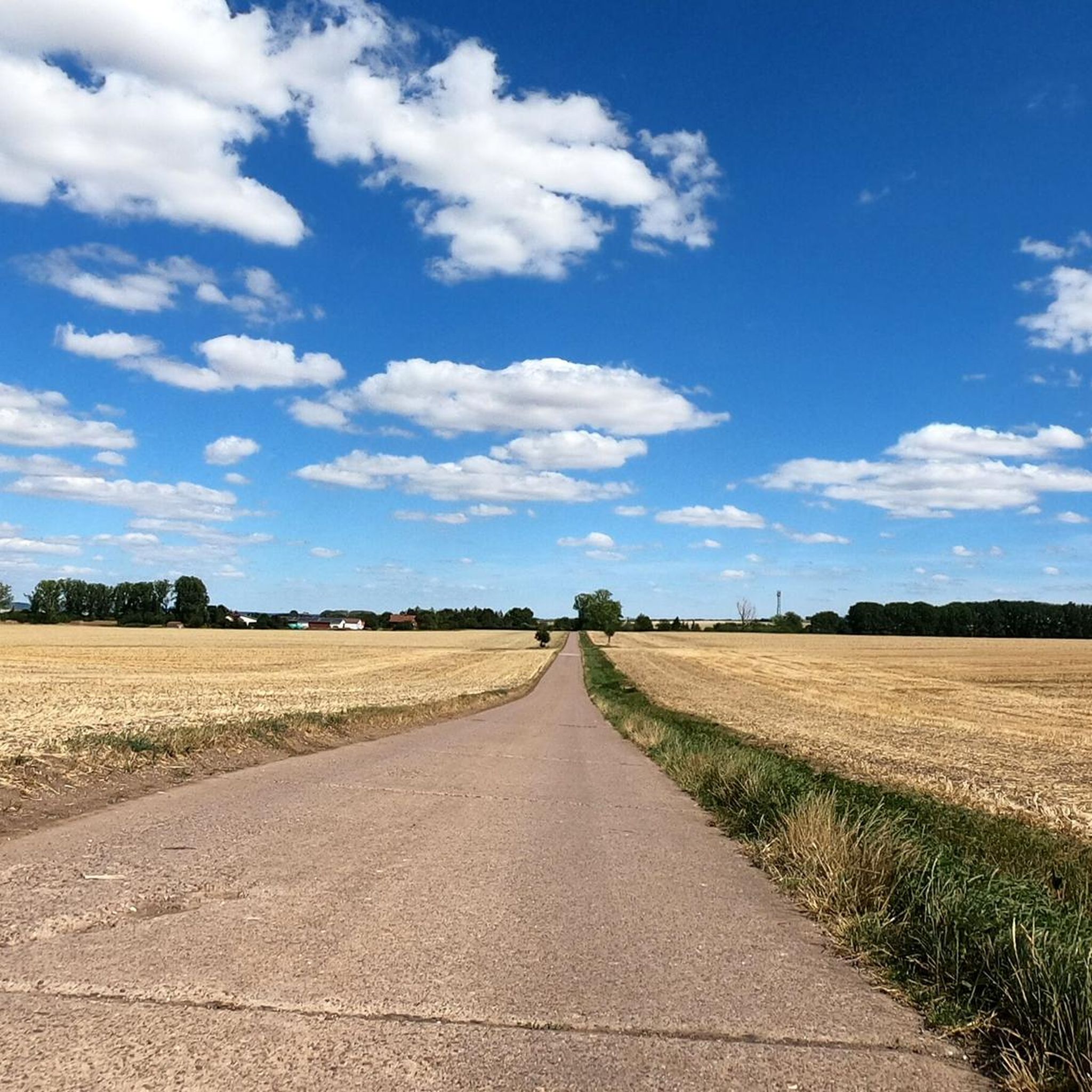
The region features a mix of rolling hills, river valleys, and forested areas. You'll find open paths and trails winding through woodlands, with generally moderate elevation changes. Natural features like the Unstrut river and various forest sections define the landscape.
Are there any mountain bike trails in Ellersleben that are suitable for families?
For families looking for a less strenuous ride, the easy trails are a great starting point. The Unstrut Cycle Path – Lossa Bridge at Leubingen loop from Kölleda, with its gentle terrain along the river, is particularly well-suited for a family outing.
Can I bring my dog on the mountain bike trails in Ellersleben?
Many trails in the Ellersleben region pass through natural areas and forests where dogs are generally welcome, provided they are kept on a leash and under control. Always be mindful of local regulations and other trail users. The varied terrain, including forest paths and open areas, offers a pleasant experience for you and your dog.
What are some notable landmarks or attractions I can see while mountain biking around Ellersleben?
You can explore several interesting sites. For historical context, consider visiting the Finne rampart (Stamping point 372) or the Raspenburg Ruins. If you're interested in castles, the Abandoned Gate of Beichlingen Castle is also nearby. Some routes, like the Bear Valley Suspension Bridge – View of the Sachsenburg castles loop from Kölleda, specifically highlight historical views.
Are there mountain bike trails in Ellersleben that are loop trails?
Yes, many of the mountain bike routes around Ellersleben are designed as loops, allowing you to start and end at the same point. Examples include the Rabenswald Trail – Wiehe Outdoor Pool loop from Kölleda and the Wetzelshain Cross – Forest pond in Borntal loop from Kölleda.
What is the best time of year for mountain biking in Ellersleben?
The spring, summer, and autumn months generally offer the best conditions for mountain biking in Ellersleben. During these seasons, the weather is typically mild, and the trails are dry and well-maintained. Autumn also provides beautiful foliage views, especially in the forested sections.
What do other mountain bikers enjoy the most about mountain biking in Ellersleben?
The area is highly rated by the komoot community, with an average score of 4.6 stars from over 60 reviews. Reviewers often praise the varied terrain, which includes a good mix of forest paths, river valleys, and rolling hills, catering to different skill levels.
Are there any mountain bike trails near Ellersleben with cafes or refreshment stops nearby?
While specific cafes directly on every trail are not guaranteed, many routes pass through or near villages and towns where you can find refreshment options. Planning your route with komoot allows you to identify potential stops along the way. For example, the Rabenswald Trail – Wiehe Outdoor Pool loop from Kölleda passes by the Wiehe Outdoor Pool, which might offer facilities.
Are there any mountain bike routes in Ellersleben accessible by public transport?
While many routes start from Kölleda, a town with some public transport connections, direct access to trailheads via public transport can vary. It's advisable to check local bus or train schedules to see which routes align best with your chosen starting point. Many routes are designed as loops, making them convenient for those arriving by car.
What is the average length of mountain bike trails in Ellersleben?
The mountain bike trails around Ellersleben vary in length, but many moderate routes are between 30 km and 60 km. For instance, the Memorial Path Concentration Camp Railway Route – Buchenwald Memorial Bell Tower loop from Krautheim is 35.3 km, offering a substantial ride.
Most popular routes around Ellersleben
Most popular attractions around Ellersleben

Get inspired with the komoot mobile app


Explore more
Browse the best MTB trails in other regions.
