The 3 Most Amazing Peaks around Waldenbuch
Best mountain peaks around Waldenbuch are characterized by rolling hills and elevated areas within the Schönbuch Nature Park. The town itself ranges from 340 to 460 meters above sea level, with its highest point reaching approximately 504 meters. This region provides a natural landscape for hiking and exploring, featuring an extensive forest environment. The area offers various high points and scenic outlooks, including panoramic views over the Aich Valley.
Best mountain peaks around Waldenbuch
- The most popular mountain peaks is…
Last updated: August 25, 2026
Uhlberg Tower
Highlight • Viewpoint
Translated by Google •
Tip by

Goldersbachtalweg
Highlight • Trail
Better to avoid the byways
Translated by Google •
Tip by

Sign up now to discover places like this
Get recommendations on the best single tracks, peaks, & plenty of other exciting outdoor places.
Sign up for free
Rohrer Höhe Cobblestone Path
Highlight • Cycleway
Translated by Google •
Tip by

Bernhartshöhe – Highest Point in Stuttgart
Highlight • Summit
Translated by Google •
Tip by
Bromberg
Highlight • Summit
Translated by Google •
Tip by

Sign up for free to discover even more peaks around Waldenbuch.
Sign up for free
Already have an account?
Start today with a free account
Your next adventure awaits.
Login or Signup
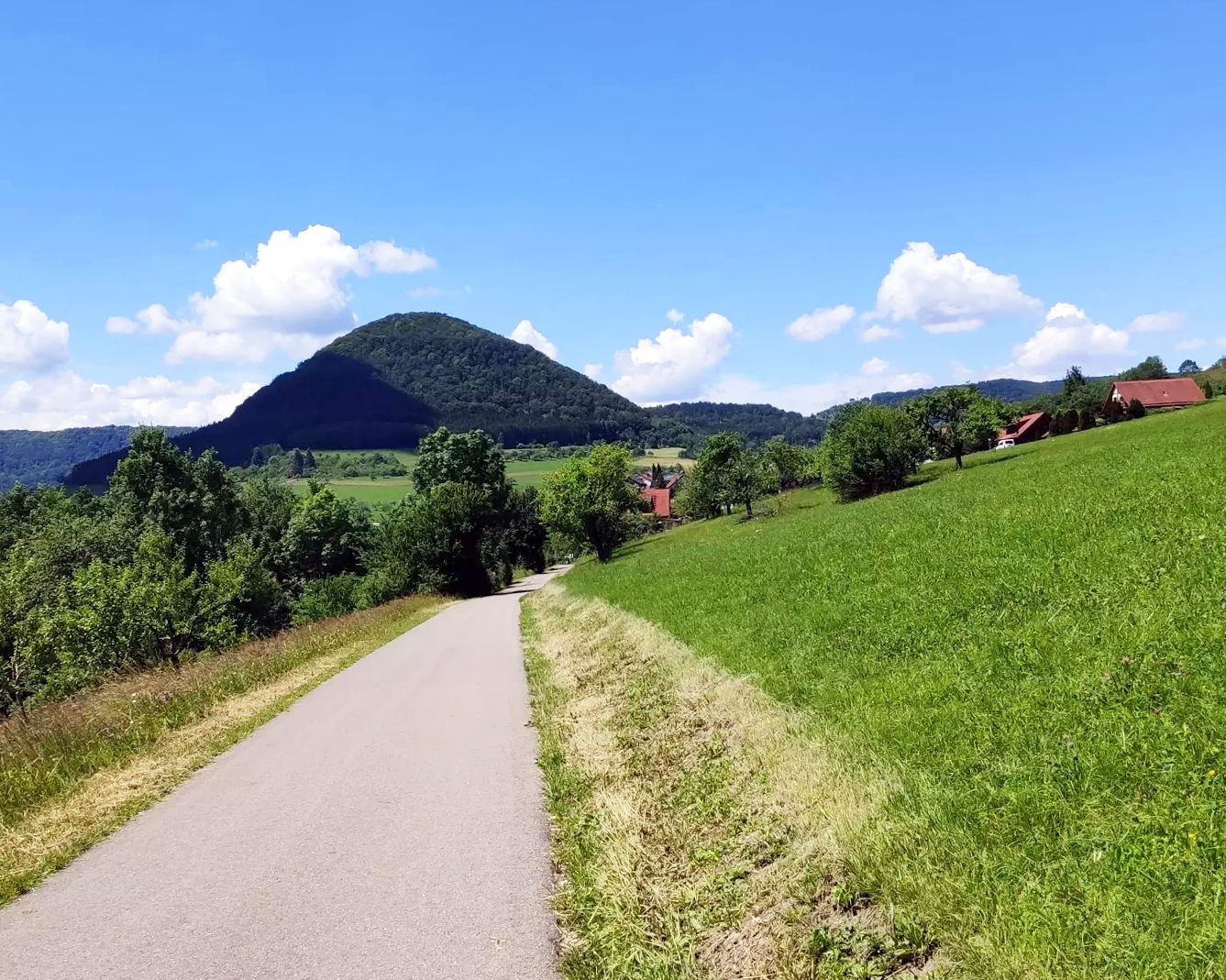
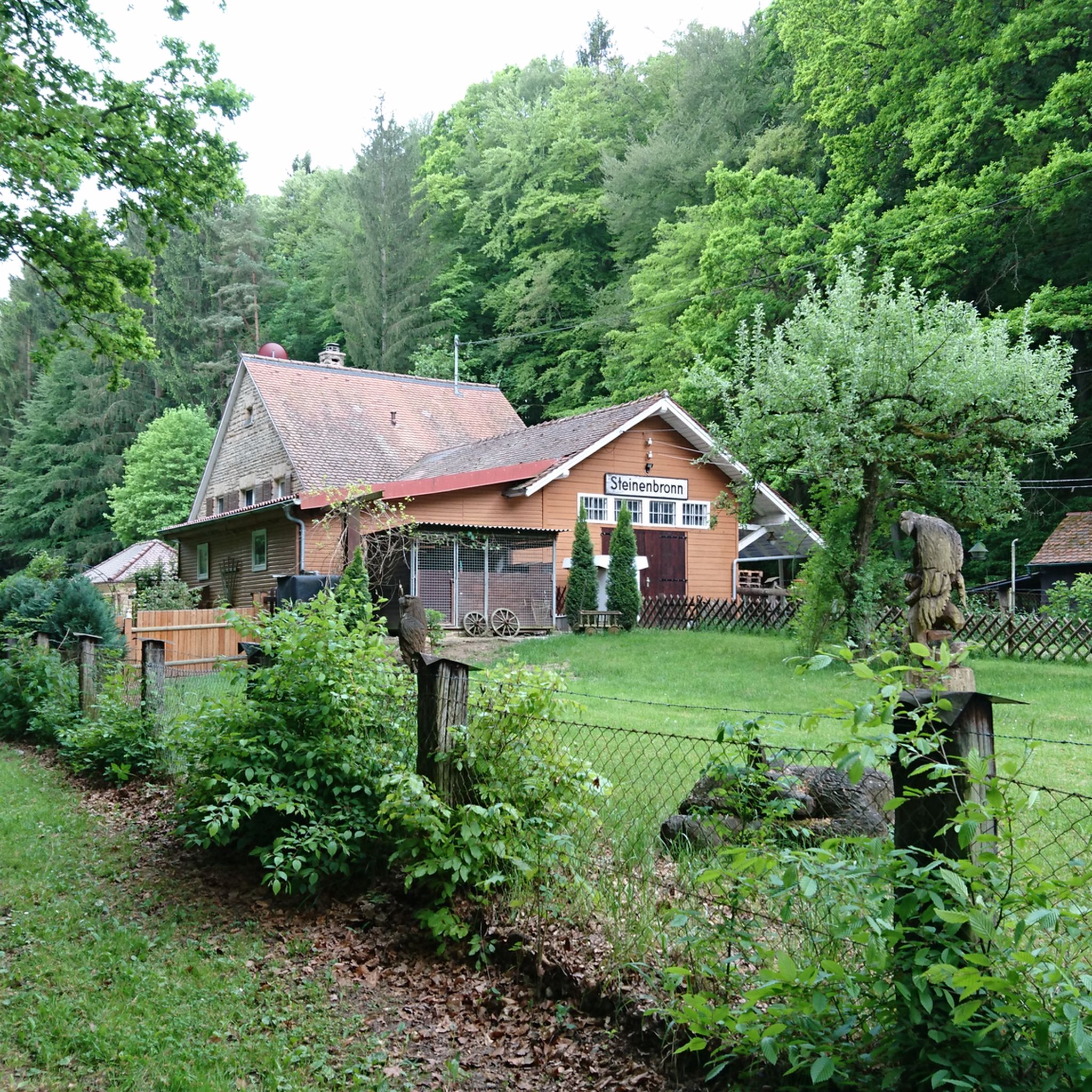
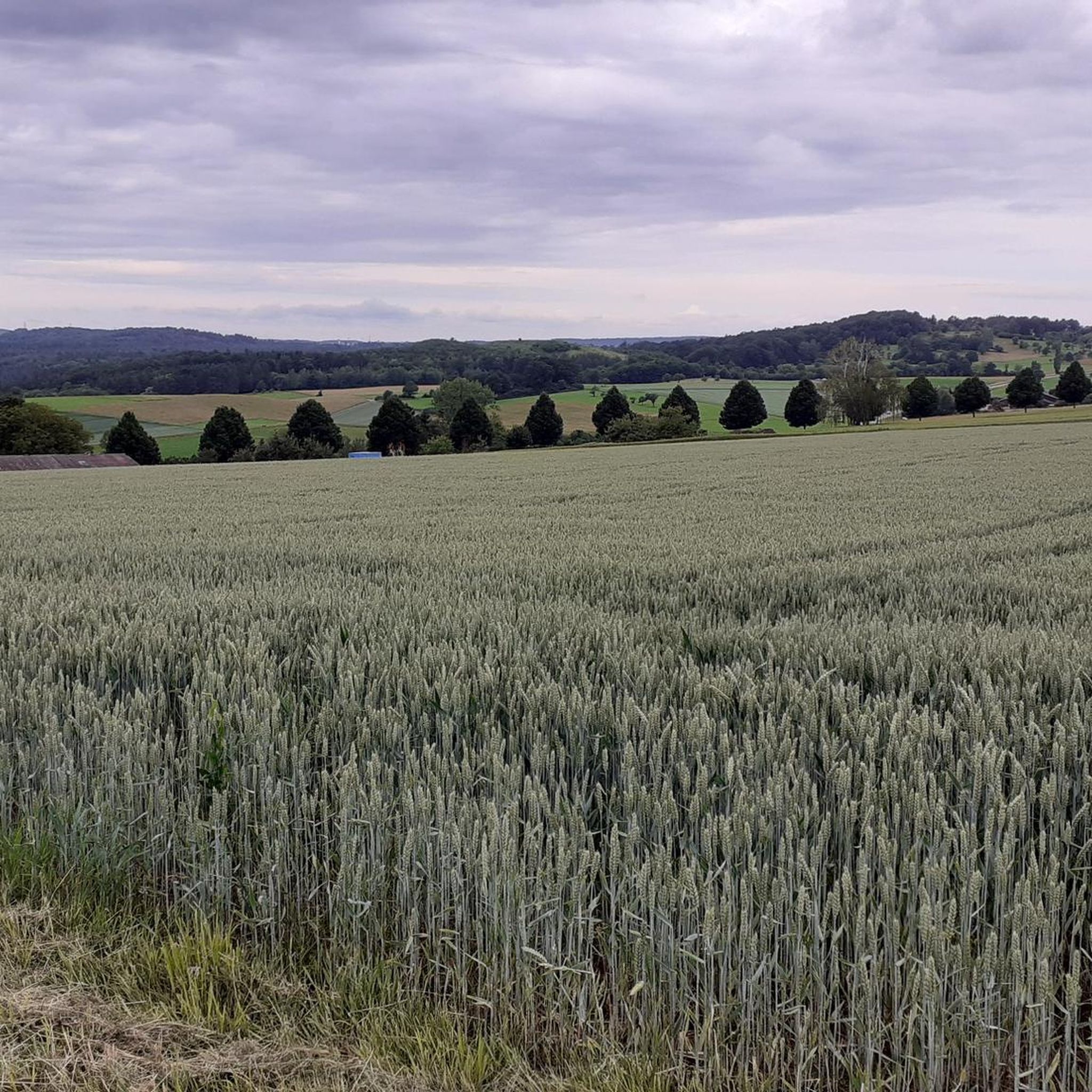
Other adventures around Waldenbuch

Tips from the Community

This is the valley of the "Little" Goldersbach. It rises near the "Tübinger Sträßle" and joins the "Great Goldersbach" at the "Devil's Bridge" to form the Goldersbach. Only then is the valley through which it flows called the "Goldersbachtal"
1
0

First and foremost a place of statistical value, as it is home to the highest elevation in Stuttgart at 549m. Unfortunately, apart from a large marker stone that stands on a large meadow, there is no view here. From the benches that stand here, you only see dense bushes, and even in autumn and winter there is no view at all. Instead, there is a monotonous background noise from the nearby motorway junction.
9
0

The large forecourt is equipped with solid table sets and there is also a covered grill.
10
0

It may be the highest point in Stuttgart, but the trees around it have now grown so dense and tall that the view is virtually nil
12
0
This main artery through the Schönbuch is very busy on weekends when the weather is good. Better to avoid the byways
8
0

This track is for speed junkies, good brakes are required there, I admittedly drove down there carefully because it was wet, otherwise it's not really for me.
3
0
Frequently Asked Questions
What kind of elevated areas or 'mountain peaks' can I expect around Waldenbuch?
Waldenbuch is situated amidst rolling hills rather than towering mountain peaks. The region offers numerous high points and scenic areas within the Schönbuch Nature Park, providing excellent views and opportunities for hiking. You'll find elevated areas like the Uhlberg Tower, which is a well-known observation point, and other significant hills such as Bromberg and Betzenberg within the broader nature park.
Where can I find the best panoramic views near Waldenbuch?
For expansive views, the Uhlberg Tower is a prominent observation point offering panoramic vistas over the Schönbuch Nature Park. The Schönbuch Tower, with its unique double helix staircase, is also highly popular for its views. Additionally, various hill ridges overlooking the Aich Valley directly within Waldenbuch provide pleasant scenic outlooks.
Are there family-friendly high points or trails around Waldenbuch?
Yes, several high points and trails are suitable for families. The Uhlberg Tower is considered family-friendly and offers facilities like a kiosk and toilets on weekends. The Bernhartshöhe – Highest Point in Stuttgart and the Häule forest area are also categorized as family-friendly. The Schönbuch Nature Park generally provides a rich environment for nature observation and tranquil walks suitable for all ages.
What facilities are available at the viewpoints or high points?
At the Uhlberg Tower, you'll find a kiosk, toilets, and a barbecue area. It's important to note that these facilities, along with the tower itself, are typically open on weekends and public holidays. Other high points in the Schönbuch Nature Park may have benches or picnic areas, but specific facilities vary.
What is the best time of year to visit the high points around Waldenbuch?
The Schönbuch Nature Park is enjoyable year-round for hiking and exploring. Spring and autumn offer pleasant temperatures and beautiful foliage. While the region is accessible in winter, specific observation towers like the Uhlberg Tower have reduced winter opening hours, so it's advisable to check their schedule before planning your visit.
Are there any historical or cultural points of interest on these elevated areas?
While not directly on a 'peak,' the region offers historical context. The 'Gräfin-von-Mantua-Tour' leads up a steep hill to Hasenhof, a historical area where the first Duchess of Württemberg once owned a dairy farm. Further afield in the Schönbuch, Bromberg features a former chapel of a hermitage and a military cemetery, adding historical depth to the natural landscape.
What outdoor activities can I do near the high points around Waldenbuch?
The area around Waldenbuch is excellent for various outdoor activities. You can enjoy hiking on trails like the 'Nice trail in the Schaich Valley' or the 'Segelbach Reservoir' loop. For mountain biking, there are routes such as the 'Seven Mills Valley Cycle Path' or the 'Museum Ritter' loop. You can find more details on these activities in the Hiking around Waldenbuch and MTB Trails around Waldenbuch guides.
Are there easy hiking trails suitable for beginners near Waldenbuch's high points?
Yes, there are several easy hiking trails. For instance, the 'Segelbachtal – Fäulbach Lake loop from Neuweiler Viehweide' and the 'Treehouse Hotel OaseWeil loop from Neuweiler Viehweide' are both rated as easy. These routes offer a gentle introduction to the Schönbuch Nature Park. More easy options can be found in the Easy hikes around Waldenbuch guide.
What is the significance of the <a href="https://www.komoot.com/highlight/212194" target="_blank" rel="noopener">Bernhartshöhe – Highest Point in Stuttgart</a>?
The Bernhartshöhe is notable as the highest elevation in Stuttgart at 549 meters, primarily holding statistical value. It was actually piled up in the 1970s using material from tunneling projects. While it marks the highest point, the surrounding trees have grown tall, meaning there isn't a panoramic view from the summit itself.
Can I bring my dog on trails around the high points near Waldenbuch?
The Schönbuch Nature Park is generally dog-friendly, with many trails suitable for walks with your canine companion. It's always recommended to keep dogs on a leash, especially in nature reserve areas, and to be mindful of local regulations. Specific information for each trail can often be found in individual route descriptions on Komoot.
What is the <a href="https://www.komoot.com/highlight/7948841" target="_blank" rel="noopener">Red Mountain</a> and what can I find there?
The Red Mountain (Roter Berg) is a hill in Weil im Schönbuch, near Waldenbuch, with an elevation of 370 meters. It features a sculpture and information related to 'Markets and Water Rights' as part of the adventure tour 'Cultural Landscape between Heckengäu and Schönbuch'. It offers a mix of forest environment and cultural insight.
Are there any circular walks that include these high points?
Yes, the Schönbuch Nature Park is well-suited for circular walks. Many routes originating from Waldenbuch incorporate various high points and scenic areas. For example, the 'Segelbach Reservoir – Segelbachtal loop from Waldenbuch' is a moderate circular route. You can explore more options in the Hiking around Waldenbuch guide, which lists several circular trails.
Most popular routes around Waldenbuch
Most popular attractions around Waldenbuch

Get inspired with the komoot mobile app


Explore more
See even more amazing summits around Waldenbuch with these guides:
