The best road cycling routes around Dayton
4.5
(54)
930
riders
24
rides
Road cycling routes around Dayton benefit from the region's extensive network of paved multi-use trails, primarily following river corridors. The terrain is generally flat to gently rolling, making it accessible for various skill levels. Cyclists can navigate through urban areas, suburban green spaces, and along the Great Miami River and Little Miami River, which define much of the landscape. This provides a diverse cycling experience across the Miami Valley.
Best road cycling routes around Dayton
- The most popular road cycling…
Last updated: September 30, 2026
5.0
(3)
71
riders
50.1km
02:26
180m
180m
Moderate road ride. Good fitness required. Mostly well-paved surfaces and easy to ride.
5.0
(4)
52
riders
42.8km
02:09
150m
150m
Moderate road ride. Good fitness required. Mostly well-paved surfaces and easy to ride.

32
riders
43.5km
02:02
100m
100m
Moderate road ride. Good fitness required. Mostly well-paved surfaces and easy to ride.
5.0
(2)
31
riders
Easy road ride. Great for any fitness level. Mostly well-paved surfaces and easy to ride.
26
riders
56.6km
02:36
130m
130m
Moderate road ride. Good fitness required. Mostly well-paved surfaces and easy to ride.
Get access to more routes and recommendations from other explorers.
Already have an account?
Our route recommendations are based on thousands of hikes, rides, and runs completed by other people on komoot.
Start today with a free account
Your next adventure awaits.
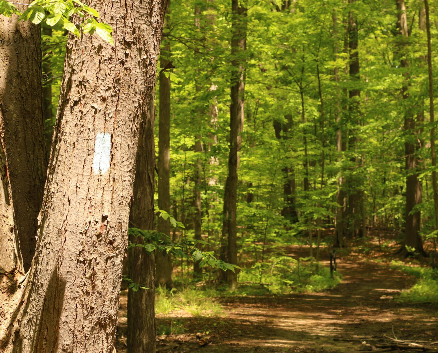
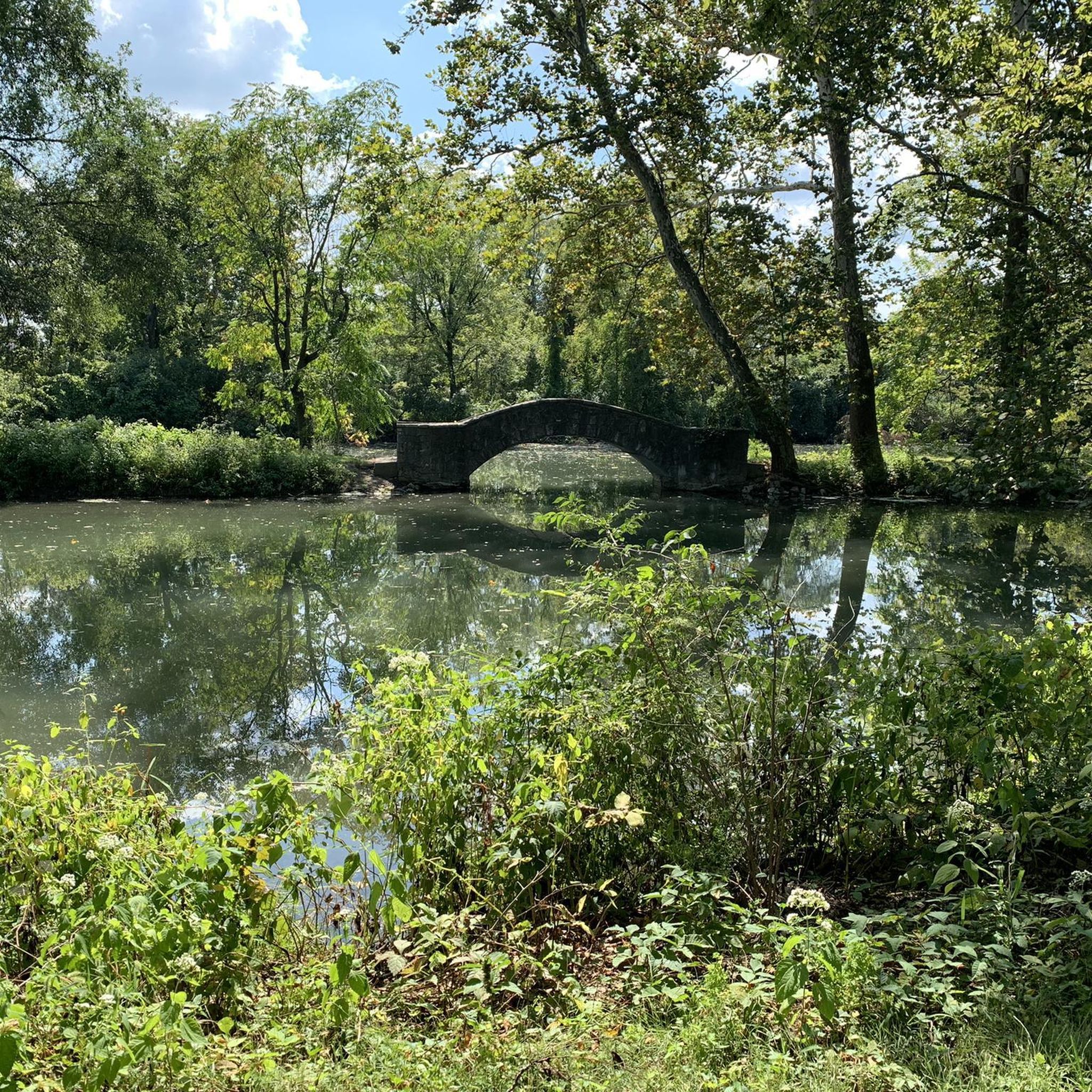
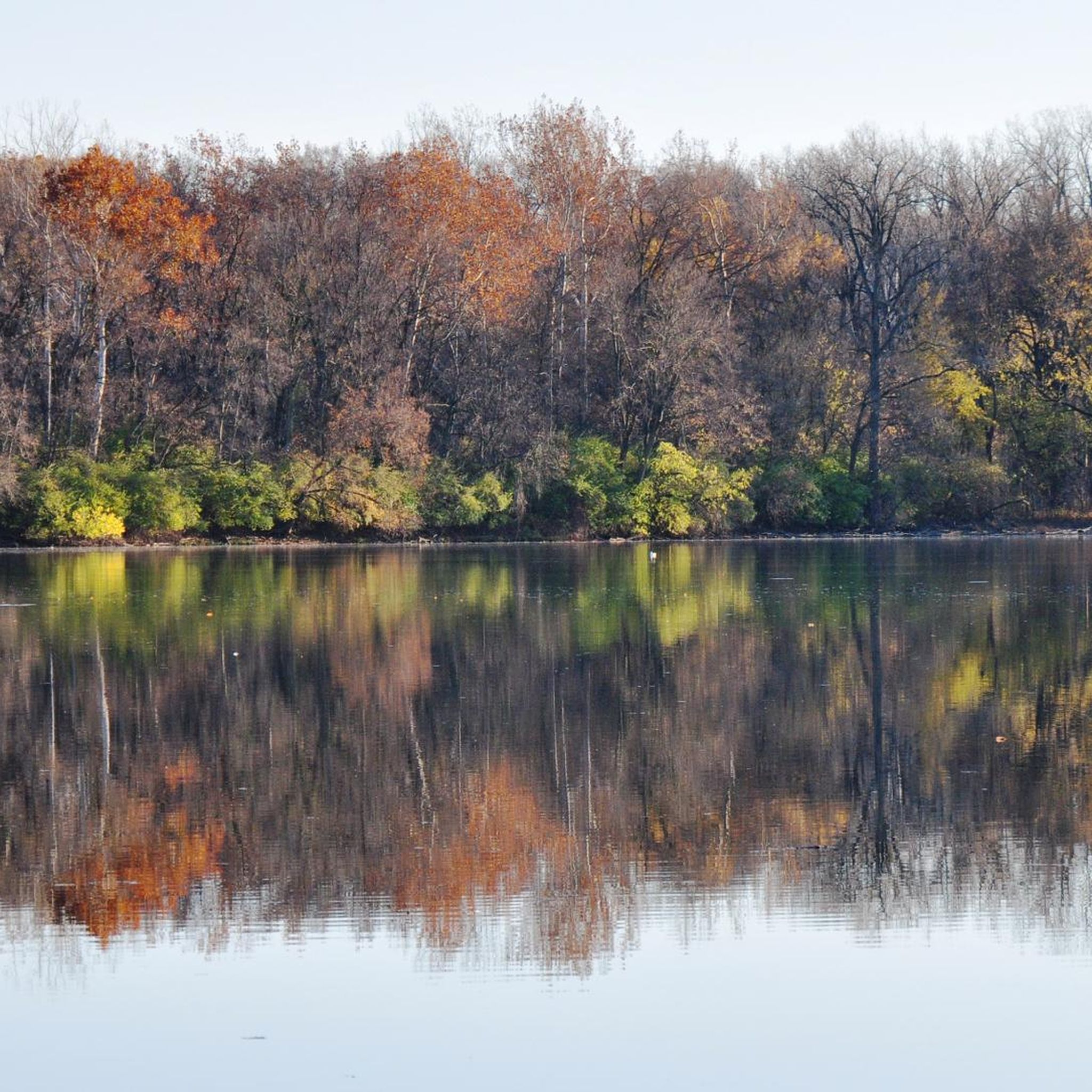
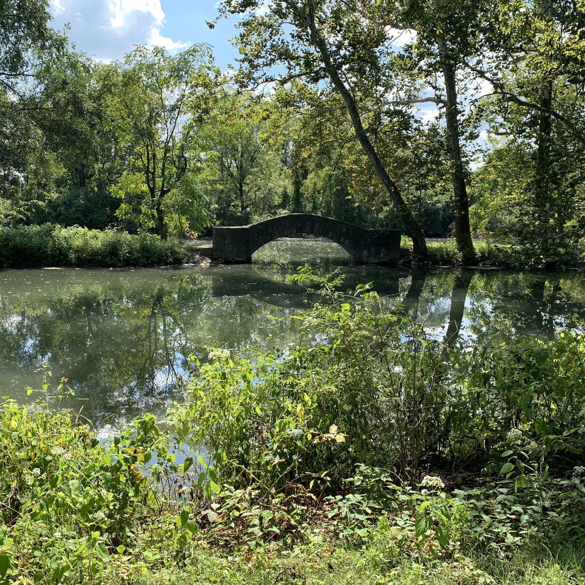
Other adventures around Dayton

Tips from the Community

Here the trail passes over the Great Miami River, which runs for a total of 160 miles through southwest Ohio and Indiana.
0
0

The Creekside Trail is a great 16-mile long trail that connects Dayton and Xenia. The trail is fully paved and is popular with walkers and cyclists. This section runs through several parks and green spaces, so it is a wonderful segment to ride.
0
0

This is a wonderful view of the city from the new bridge!
0
0

The Xenia Station is a replica of an old brick train station that used to be in the area. It now holds a museum and meeting space, and serves as a trail head for several trails that intersect at this point.
1
0
The Creekside Trail is a great 16-mile long trail that connects Dayton and Xenia. The trail is fully paved and is popular with walkers and cyclists. This section runs through several parks and green spaces, so it is a wonderful segment to walk.
0
0

Standing tall at 151 feet, the Deeds Carillon is a landmark that dominates the skyline of Dayton, and boasts the title of the largest musical instrument in the entire state. Be sure to catch one of the free daily concerts performed by a skilled carillonneur, filling the air with beautiful melodies at 10 am, noon, 2 pm, and 5 pm.
1
0
Originally constructed in the mid-1800s, the bridge faithfully served its purpose by carrying horse-drawn carriages and pedestrians across Little Sugar Creek. Today, the Carillon Park Covered Bridge stands proudly relocated within the historical park.
0
0
Frequently Asked Questions
What makes Dayton an ideal destination for road cycling?
Dayton is recognized as the "Outdoor Adventure Capital of the Midwest" and a "Bronze Level Bike Friendly City" due to its extensive network of over 340 miles of paved multi-use trails. These trails offer diverse scenic routes through meadows, countryside, forested areas, and city centers, catering to all skill levels.
How many road cycling routes are available around Dayton?
There are over 20 road cycling routes around Dayton documented on komoot, offering a variety of experiences. These include 7 easy routes and 13 moderate routes, ensuring options for different fitness levels.
Are there road cycling routes suitable for beginners or families in Dayton?
Yes, Dayton offers several routes perfect for beginners and families. The region's terrain is generally flat to gently rolling, and many routes utilize the extensive paved trail network, making them accessible and safe. You can find 7 easy routes on komoot, ideal for a relaxed ride.
What kind of landscapes and terrain can I expect on Dayton's road cycling routes?
Dayton's road cycling routes offer a diverse experience, ranging from urban areas and suburban green spaces to scenic river corridors along the Great Miami River and Little Miami River. You'll encounter flat to gently rolling terrain, passing through meadows, forested areas, and connecting to various parks within the Five Rivers MetroParks system.
Where can I park my car when planning a road cycling trip in Dayton?
Many trailheads and parks throughout Dayton offer convenient parking. For example, the Fifth Third Gateway Park and Ride Facility is a good option for accessing routes. Additionally, many MetroParks locations provide parking with direct access to the paved trail network.
Are there any loop routes for road cycling in Dayton?
Yes, many of Dayton's road cycling routes are designed as loops, offering a convenient way to start and end your ride at the same point. Examples include the Taylorsville Dam – Kyle Park loop from Dayton and the Five Rivers Fountain of Lights – Eastwood Metro Park loop from Carillon Park Railroad.
What natural features or attractions can I see along the road cycling routes?
Dayton's routes are rich with natural beauty. You can cycle along the Great Miami River and Little Miami River, explore various Five Rivers MetroParks, and pass by features like the Taylorsville Dam. The region also boasts nature preserves like Aullwood Audubon Center and Farm, and Glen Helen Nature Preserve, offering diverse ecosystems.
Are there any historic landmarks I can visit while cycling in Dayton?
Absolutely. Many routes incorporate historic elements. You can pass by the Wright Brothers Memorial lookout, Huffman Dam, and the Wright Brothers' original bike shop. The Carillon Park covered bridge – Deeds Carillon loop from Oakwood, for instance, takes you past Carillon Park and the Deeds Carillon, significant cultural landmarks.
What do other road cyclists enjoy most about road cycling in Dayton?
The komoot community highly rates road cycling in Dayton, with an average score of 3.5 stars from over 13 reviews. Cyclists often praise the extensive paved trail network, the scenic river corridors, and the accessibility of routes through green spaces, making for enjoyable and varied rides.
Can I access road cycling routes using public transport in Dayton?
Dayton is a bike-friendly city with enhanced bike lanes and a bike-share program, particularly in downtown areas. While specific public transport connections to all trailheads may vary, the city's commitment to cycling infrastructure makes it feasible to combine public transport with cycling, especially for reaching central trail access points.
What is the best season for road biking in Dayton?
Spring, summer, and fall generally offer the most pleasant conditions for road biking in Dayton. The mild temperatures and vibrant foliage during spring and fall make for particularly scenic rides. Summer is also popular, though it's advisable to ride earlier in the day to avoid peak heat.
Are there cafes or places to stop for refreshments along the road cycling routes?
Yes, many routes pass through or near communities like downtown Dayton, Yellow Springs, and Tipp City, which offer various cafes, restaurants, and shops where you can stop for refreshments. The extensive trail network often connects these towns, providing convenient breaks during your ride.
Most popular attractions around Dayton

Get inspired with the komoot mobile app


Explore more
Browse the best Road cycling routes in other regions.
