The best road cycling routes around Westerville
4.6
(55)
1,114
riders
17
rides
Road cycling routes around Westerville feature an extensive network of over 51 miles of recreational trails, bike lanes, and marked streets, set within a "City within a Park" environment. The terrain is characterized by well-maintained paved paths, urban green spaces, and scenic corridors along natural features like Alum Creek and Hoover Reservoir. While generally flat, routes offer gentle elevation changes, providing varied experiences through parkland and natural preserves.
Best road cycling routes around Westerville
- The most popular road cycling route…
Last updated: October 1, 2026
5.0
(2)
67
riders
111km
05:02
320m
320m
Hard road ride. Very good fitness required. Mostly well-paved surfaces and easy to ride.
4.5
(2)
58
riders
33.8km
01:27
100m
100m
Easy road ride. Great for any fitness level. Mostly well-paved surfaces and easy to ride.

5.0
(2)
53
riders
64.5km
02:43
180m
180m
Moderate road ride. Good fitness required. Mostly well-paved surfaces and easy to ride.
5
riders
46.7km
01:49
180m
180m
Easy road ride. Great for any fitness level. Mostly well-paved surfaces and easy to ride.
61
riders
40.2km
01:34
110m
110m
Easy road ride. Great for any fitness level. Mostly well-paved surfaces and easy to ride.
Get access to more routes and recommendations from other explorers.
Already have an account?
Our route recommendations are based on thousands of hikes, rides, and runs completed by other people on komoot.
Tips from the Community

This almost 30-acre park has restrooms, picnic tables and grills, a playground, cornhole, outdoor fitness equipment and great trail access.
0
0
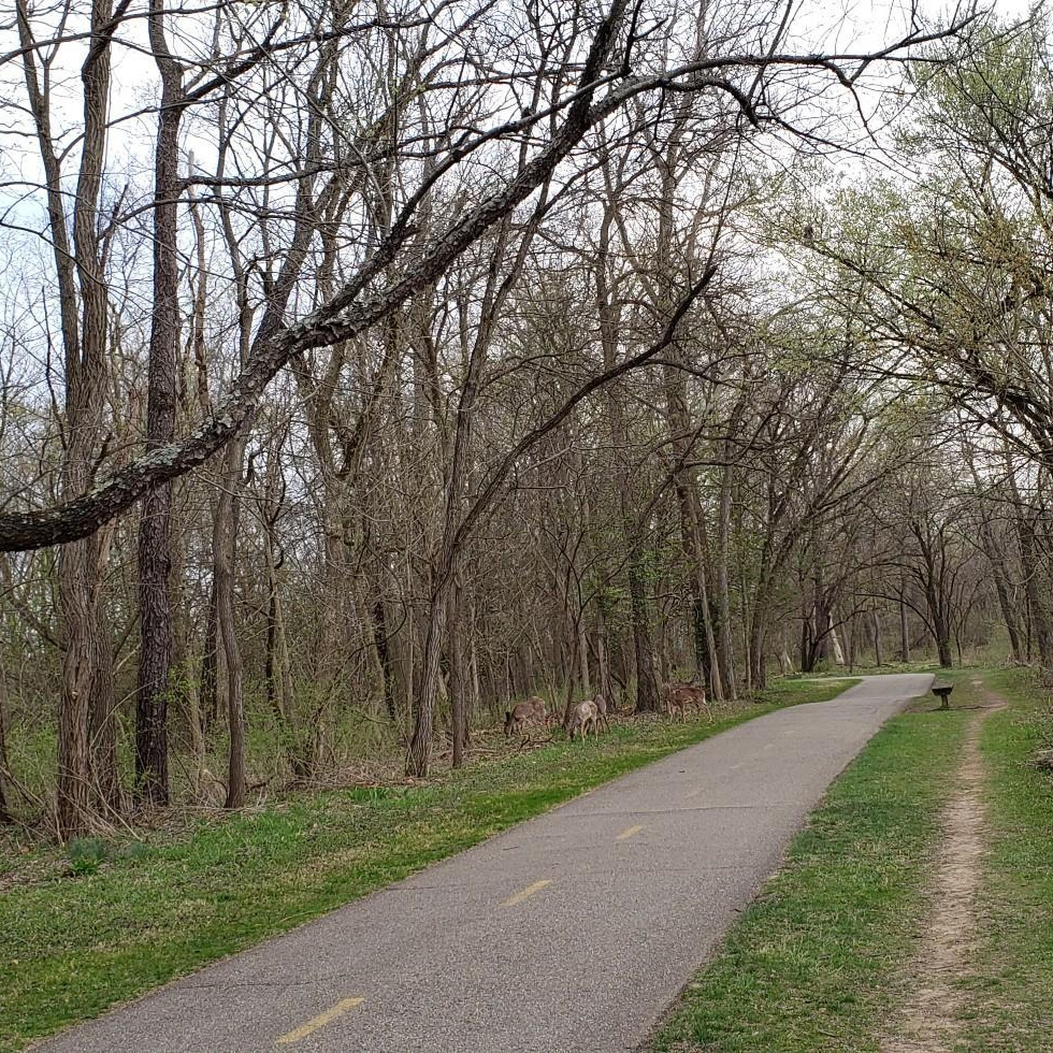
This used to be a railroad line — now it's four miles of pavement, nicely separated from the road and shaded by a line of trees.
0
0

Mount Vernon, named after George Washington's famous estate, is a charming small town full of historic buildings. The Woodward Opera House is perhaps the most famous of all, as it is the oldest such Opera House in the USA. Along with the beautiful buildings and parks you'll find plenty of restaurants, shops, and accommodations that invite you to stay a while.
0
0

Sunbury is a charming place to pass by. The town features a historic town square, local dining options, and places to rest. It’s a great spot to refuel and explore during your ride.
0
0
The Genoa Trail is a 4-mile smooth, paved path that runs straight through the trees, making it ideal for road and race bikes. It connects Genoa Township to Hoover Reservoir.
0
0

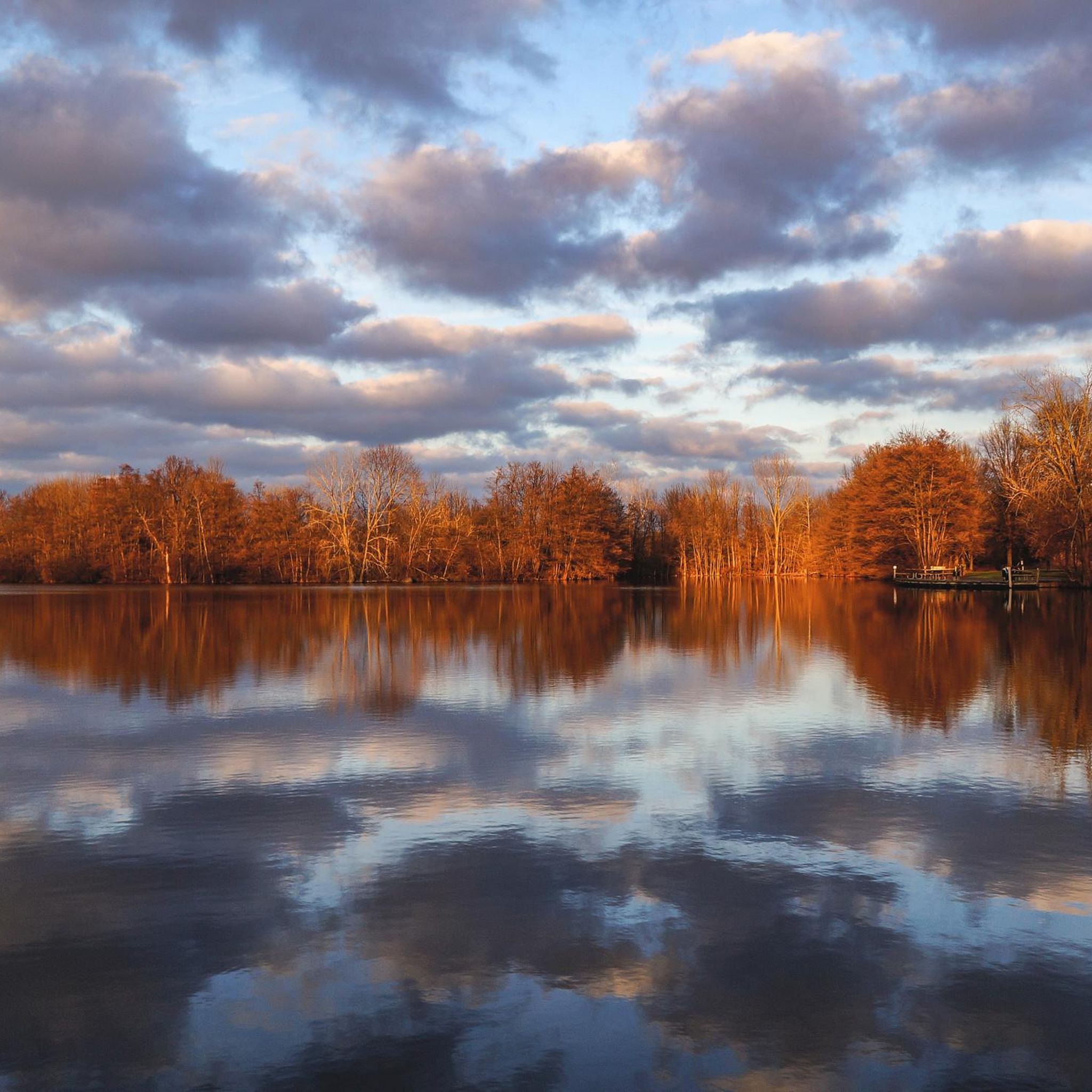
Alum Creek streches 58 miles until it drains into the Scioto River. The creek porvides drinking water source for Westerville, and historicly 2,000 years ago, the Adena built mounds along its valley, later inhabited by the Lenape tribe. During the War of 1812, locals built defensive blockhouses, such as Fort Cheshire, a vital role in the Underground Railroad, with the Sycamore Trail aiding escaped slaves. Today, Alum Creek flows through Alum Creek Lake, Westerville, and Columbus before joining Big Walnut Creek at Three Creeks Metro Park.
0
0

The Heart of Ohio Trail crosses US 36 about 2 miles northeast of Centerburg, where a monument marks the highest point on the trail at 1,285 feet—also the highest point along the entire Ohio to Erie Trail. The monument, shaped as an obelisk that marks this point, is about 5 feet high. This 15.7-mile trail starts in Mount Vernon and heads southwest through Mount Liberty and Centerburg, ending at Huffman Road. For much of its route, the trail runs parallel to US-36 between Mount Vernon and Sunbury.
0
0
Frequently Asked Questions
How extensive is the road cycling trail network in Westerville?
Westerville boasts an extensive network of over 51 miles of recreational trails, bike lanes, and marked streets. This system, often referred to as the Westerville B&W (Bike & Walk Route), connects various parks and natural features, making it a true "City within a Park" for cyclists. You can find more information about the city's bike trails on the Visit Westerville website.
Are there road cycling routes suitable for beginners or families in Westerville?
Yes, Westerville offers many easy road cycling routes perfect for beginners and families. Out of the 17 routes available, 13 are classified as easy. These routes typically feature well-maintained paved paths and gentle elevation changes, providing a pleasant experience for all skill levels. A good example is the Alum Creek – Alum Creek Bridge loop from Westerville, which is 17.3 miles long and leads through scenic areas.
What are some of the longer road cycling routes available in Westerville?
For those looking for longer rides, Westerville connects to significant regional and national trails. The Char-Mar Ridge Park – McNamara Park loop from GetGo Gas Station is a moderate 42.1-mile route that provides an extended exploration. Additionally, a 4.5-mile segment of the nationally acclaimed Ohio to Erie Trail runs through Westerville, offering connections for even longer journeys. The Ohio to Erie Trail is a major draw for long-distance cyclists.
Where can I find parking or good starting points for road cycling in Westerville?
Westerville is bike-friendly, and many parks and trailheads offer convenient parking. While specific starting points vary by route, areas near major parks like McNamara Park or Char-Mar Ridge Park are often good options. The Westerville Bike Depot in Hanby Park also provides amenities like bike racks and tools, making it a convenient hub.
What kind of scenery or natural features can I expect to see along the road cycling routes?
Road cycling routes in Westerville offer diverse scenery, from urban green spaces to natural preserves. You'll often ride along scenic corridors like the Alum Creek and Hoover Reservoir. The area is known for its parkland, including the 123-acre Hoover Reservoir Park, which is excellent for birdwatching, and the Alum Creek corridor, which offers river views and urban nature. You might also encounter highlights like Alum Creek itself or the Olentangy River Trail.
Are there any loop road cycling routes in Westerville?
Yes, many road cycling routes in Westerville are designed as loops, allowing you to start and end at the same point. Popular loop options include the McNamara Park – Char-Mar Ridge Park loop from Westerville, a 24.1-mile ride, and the Alum Creek – Alum Creek Bridge loop from Westerville. The Hoover Reservoir loop is also a well-known option for cyclists.
What do other road cyclists enjoy most about road cycling in Westerville?
The road cycling experience in Westerville is highly rated by the komoot community, with an average score of 4.6 stars from over 30 reviews. Cyclists often praise the extensive, well-maintained trail system, the variety of routes suitable for different skill levels, and the scenic beauty of the parkland and creek corridors. The integration with regional trails like the Ohio to Erie Trail is also a significant highlight.
Are there any challenging road cycling routes for experienced riders?
While Westerville's terrain is generally flat, offering gentle elevation changes, there are moderate routes that provide a more extended challenge. For instance, the Alum Creek Trail – Olentangy River loop from Westerville is a moderate 35-mile route. For more significant elevation or distance, connecting to segments of the Ohio to Erie Trail or exploring routes further afield might offer the challenge you seek.
What is the best time of year for road biking in Westerville?
Westerville is enjoyable for road biking through much of the year. Spring and fall offer pleasant temperatures and beautiful foliage. Summer is also popular, though it can be warmer. While winter biking is possible, trail conditions may vary, and it's always advisable to check local weather and trail reports before heading out.
Are there places to stop for refreshments or explore along the routes?
Yes, Westerville is a bike-friendly city with amenities for cyclists. Uptown Westerville offers convenient bike racks, allowing you to stop and explore local shops or restaurants. The Westerville Bike Depot in Hanby Park also provides picnic tables. Many routes pass through or near areas where you can find coffee shops or other places to refuel.
What other outdoor activities can be combined with a road cycling trip to Westerville?
Westerville's "City within a Park" designation means there are many other outdoor activities to enjoy. The Hoover Reservoir is excellent for birdwatching, kayaking, fishing, and picnicking. Inniswood Metro Gardens offers beautiful walking trails and nature photography opportunities. Nearby Alum Creek State Park provides hiking, swimming, and boating. You can explore more about the city's parks and recreation on the Visit Westerville website.
Most popular attractions around Westerville

Get inspired with the komoot mobile app


Explore more
Browse the best Road cycling routes in other regions.
