The best road cycling routes around St. Bernard
4.2
(25)
1,313
riders
73
rides
Road cycling routes around St. Bernard are characterized by high Alpine passes and challenging ascents, offering diverse terrain for cyclists. The region features iconic passes like the Great St. Bernard and Little St. Bernard, which connect Switzerland, France, and Italy. Riders encounter dramatic rock formations, mountain lakes, and varied scenery including pastures and historic hamlets, all within a high-mountain environment.
Best road cycling routes around St. Bernard
- The most popular road cycling route is Mount Storm to Mount Airy via…
Last updated: October 2, 2026
36.1km
01:54
590m
590m
The Mount Storm to Mount Airy via Downtown Loop offers a compelling road cycling experience through Cincinnati, Ohio, blending urban park serenity with vibrant cityscapes. You'll pedal past the green…
5.0
(5)
198
riders
42.6km
01:52
140m
140m
Easy road ride. Great for any fitness level. Mostly well-paved surfaces and easy to ride.

26
riders
35.5km
01:56
200m
200m
Easy road ride. Great for any fitness level. Mostly well-paved surfaces and easy to ride.
12
riders
49.1km
02:15
320m
320m
Moderate road ride. Good fitness required. Mostly well-paved surfaces and easy to ride.
5.0
(1)
13
riders
11.0km
00:29
60m
60m
Easy road ride. Great for any fitness level. Mostly well-paved surfaces and easy to ride.
Get access to more routes and recommendations from other explorers.
Already have an account?
Our route recommendations are based on thousands of hikes, rides, and runs completed by other people on komoot.

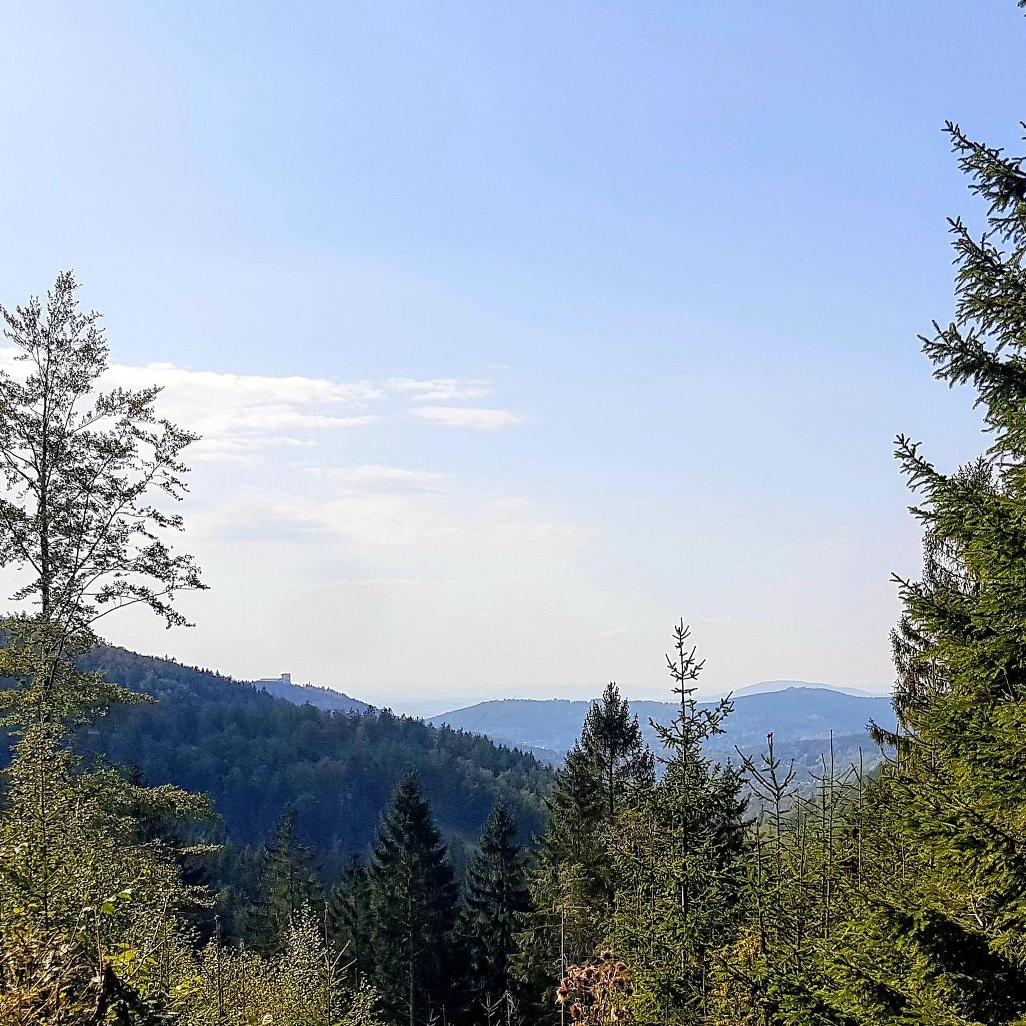

Tips from the Community

The Little Miami Scenic Trail is a 78-mile multi-use trail that runs through southwestern Ohio, connecting Newtown to other communities and scenic areas. The trail is part of the larger Ohio to Erie Trail network, offering a paved, multi-use path for cyclists, walkers, and runners. In Newtown, the trail runs right alongside the Little Miami River, providing nice views and a peaceful setting. It features well-maintained, paved surfaces, making it suitable for all ages and fitness levels.
0
1
Wasson Way is a new, still-developing multi-use greenway in Cincinnati, Ohio, aiming to transform over 6 miles of unused railway into a trail for pedestrians and cyclists. The trail extends from Victory Parkway near Xavier University through twelve local neighborhoods. As of now, Wasson Way is open from Ault Park to Montgomery Road. Future expansions are planned to connect the trail further east to the Little Miami Scenic Trail and westward to the Ohio River Trail, integrating it into the larger CROWN (Cincinnati Riding Or Walking Network), a 34-mile trail loop connecting various paths across the city.
1
0
The Lunken Loop Trail is a popular 5-mile paved trail located in Cincinnati, Ohio, encircling the Lunken Airport. This flat, multi-use trail is great for walking, running, and biking. The loop offers a unique experience, with portions of the trail running adjacent to the airport, which allow you to watch planes take off and land. This viewpoint overlooks the open, green field on the southern end of the airport.
1
0

The Cincinnati Observatory is the oldest professional observatory in the United States, at 178-year-old. Locally known as the Mt. Lookout Observatory, it allows public access for tours and regular viewings through both historical telescopes.
0
0
Hyde Park Square is a beautiful, green micro-park in the middle of Hyde Park. The park has benches and a manicured green lawn. It is a great place for a rest while walking through Cincinnati.
0
0
Wasson Way is a 6-mile long multi-use trail that is popular with walkers, runners and cyclists. It passes through several parks and links up with multiple other trails, so it is a great place for a long walk.
1
0
The Ohio River Trail is a 22-mile trail from Smale Park in Cincinnati to New Richmond, Ohio. This section of the trail runs alongside downtown Cincinnati. It passes through several riverside parks and has many opportunities for a relaxed picnic spot next to the water.
0
0
The Cincinnati Observatory is the oldest professional observatory in the United States and was built in 1843. The observatory is now open to the public for tours and viewings through historical telescopes. You can find more information about opening hours and current programs here: https://www.cincinnatiobservatory.org/home/
0
0
Frequently Asked Questions
How many road cycling routes are available in the St. Bernard region?
The St. Bernard region offers a wide selection of road cycling routes, with over 70 tours available on komoot. These routes cater to various skill levels, from easier valley rides to challenging Alpine ascents.
What are the typical difficulty levels for road cycling routes in St. Bernard?
Road cycling routes in St. Bernard range from easy to difficult. You'll find 18 easy routes, 47 moderate routes, and 7 difficult routes, ensuring options for every cyclist, from beginners to experienced climbers.
What kind of terrain can I expect when cycling the Great St. Bernard Pass?
The Great St. Bernard Pass features challenging climbs with significant elevation gains. The Italian side from Aosta involves a 32 km climb with an average gradient of 5.8%, while the Swiss side from Sembrancher is 30.6 km at 5.7%. The final 4 km on the Swiss side can be particularly steep, averaging 9%. Expect dramatic rock formations and a high-mountain environment.
Are there any less challenging Alpine passes for road cycling in the St. Bernard region?
Yes, the Little St. Bernard Pass offers a more accessible Alpine climb. It stretches 30 km with approximately 1,400 meters of climbing at an average gradient of less than 5%, rarely exceeding 6%. This consistent gradient makes it suitable for cyclists seeking a long, steady ascent without extreme steepness.
What historical landmarks or points of interest can I see along the road cycling routes?
The St. Bernard passes are rich in history. At the summit of both the Great and Little St. Bernard Passes, you'll find hospices that have provided shelter for centuries. The Great St. Bernard Monastery, founded in 1049, is famous for its St. Bernard dogs. The passes were also traversed by Romans and Napoleon's army. For specific local attractions, consider visiting the Serpentine Wall or the Cincinnati Flying Pig Statues near some routes.
When is the best time of year to road cycle in the St. Bernard region?
The best time to road cycle in the St. Bernard region is typically when the high Alpine passes are open and free of snow, usually from late spring through early autumn. The Little St. Bernard Pass, being south-facing, receives a lot of sun, making it rideable for a larger portion of the year compared to the Great St. Bernard Pass.
Are there any family-friendly road cycling routes in St. Bernard?
While the region is known for its challenging passes, there are easier routes suitable for families. For instance, the Kroger Hills loop from Norwood is an easy 42.0 km path with a moderate elevation gain, offering a pleasant ride through rolling hills.
What do other cyclists say about road cycling in St. Bernard?
The komoot community highly rates road cycling in St. Bernard, with an average score of 4.6 stars from over 14 reviews. Cyclists often praise the diverse terrain, from high Alpine passes to scenic valley roads, and the challenging yet rewarding ascents.
Are there any routes that offer panoramic views of Mont Blanc?
Yes, the Little St. Bernard Pass offers blissful views, especially after La Rosière, and panoramic views including Mont Blanc and the Tarentaise Valley. This route provides stunning vistas without the extreme steepness of some other Alpine climbs.
Can I find loop routes for road cycling in the St. Bernard area?
Yes, several loop routes are available. A popular moderate option is the Mount Storm to Mount Airy via Downtown Loop, which covers 36.1 km with a significant elevation gain. Another longer, moderate loop is the Purple People Bridge – Cincinnati Flying Pig Statues loop from William Howard Taft National Historic Site, spanning 66.0 km.
What natural features can I expect to see along the road cycling routes?
The St. Bernard region is characterized by stunning natural beauty. Along the routes, you'll encounter dramatic rock formations, beautiful mountain lakes, and varied scenery including pastures and historic hamlets. The Val Ferret, in the upper Great St. Bernard area, is particularly noted for its rich alpine flora and beautiful landscapes.
Are there any specific attractions related to lakes near the cycling routes?
Yes, the region features several beautiful lakes. You can find highlights such as Spring House Gazebo and Mirror Lake Fountain, Mirror Lake, and Burnet Woods Lake, which are accessible from various points in the St. Bernard area.
Most popular routes around St. Bernard
Most popular attractions around St. Bernard

Get inspired with the komoot mobile app


Explore more
Browse the best Road cycling routes in other regions.
