The best walks and hikes around Enge-Sande
4.6
(810)
3,327
hikers
19
hikes
Hiking around Enge-Sande offers diverse and unspoiled natural landscapes in Schleswig-Holstein, Germany. The region features wide fields, expansive meadows, and serene small lakes, alongside woodlands like the Langenberger Forst. Hikers can explore sandy paths, discover the significant mill pond, and encounter features such as the Heideberg and various forest ponds.
Best hiking trails around Enge-Sande
- The most popular hiking route is Heideberg Picnic Area – Forest Pond loop from Café Kränzchen - Rösterei, an easy 3.7 miles (6.0 km)…
Last updated: June 26, 2026
4.3
(3)
20
hikers
Easy hike. Great for any fitness level. Easily-accessible paths. Suitable for all skill levels.
5.0
(1)
22
hikers
Moderate hike. Good fitness required. Easily-accessible paths. Suitable for all skill levels.

Sign up for free
5.0
(1)
12
hikers
4.41km
01:08
20m
20m
Easy hike. Great for any fitness level. Easily-accessible paths. Suitable for all skill levels.
5.0
(4)
9
hikers
7.44km
01:56
50m
50m
Easy hike. Great for any fitness level. Easily-accessible paths. Suitable for all skill levels.
10
hikers
Easy hike. Great for any fitness level. Easily-accessible paths. Suitable for all skill levels.
Get access to more routes and recommendations from other explorers.
Sign up for free
Already have an account?
Our route recommendations are based on thousands of hikes, rides, and runs completed by other people on komoot.
Start today with a free account
Your next adventure awaits.
Login or Signup
Other adventures around Enge-Sande

Tips from the Community


We actually wanted to explore the Legerader Forest, but we only got as far as the dog run. Our Max had such a romp with other dogs there that he was completely exhausted afterward. So, it's better to schedule the dog run at the end of the hike.
1
0
The dog run is truly fantastic. Large, well-designed, and fenced in. Our wire-haired dachshund thoroughly enjoyed it and found some nice playmates.
0
0


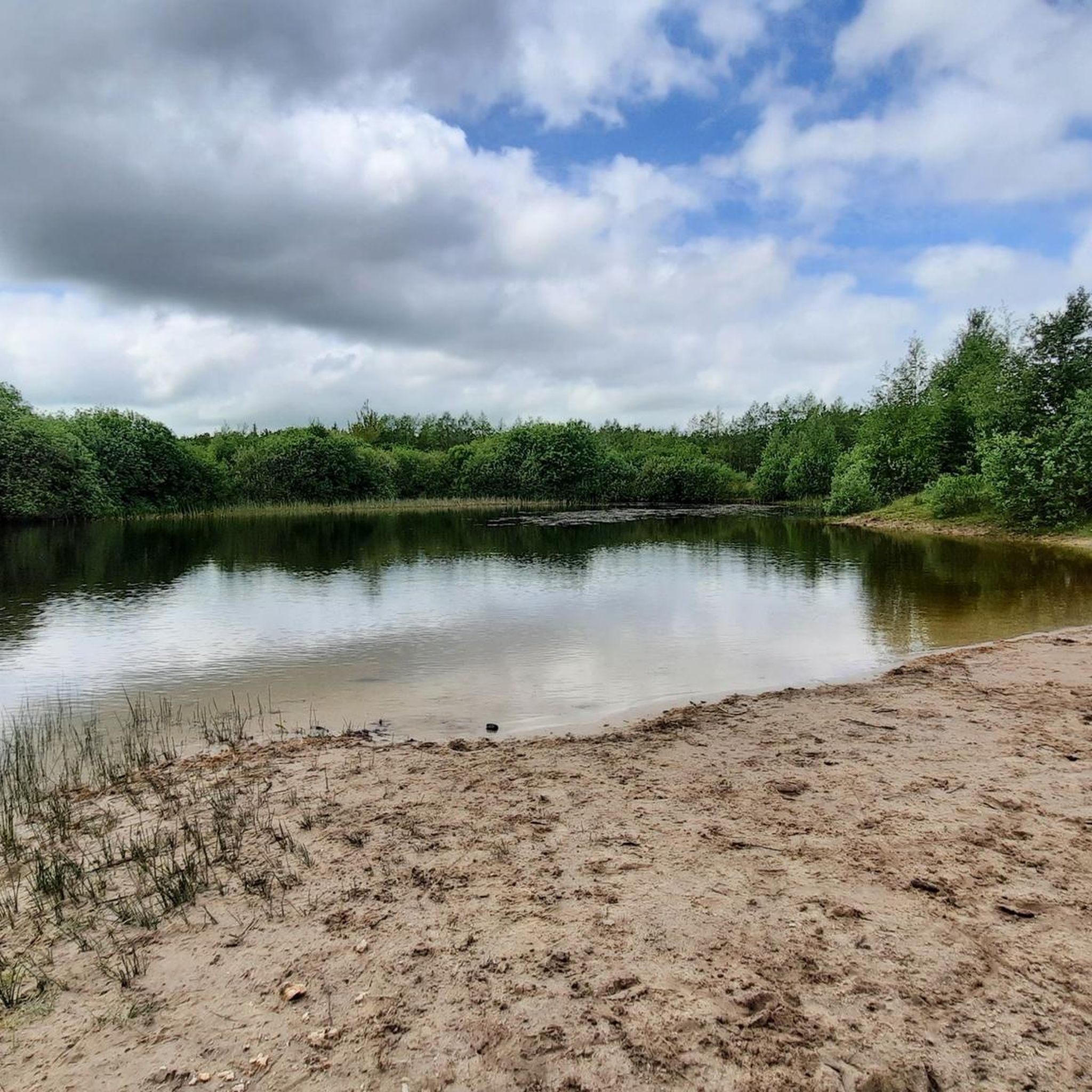
Very nice place to take a little break.
1
0
Very beautiful, but unfortunately without water lilies
0
0
Very beautiful, but unfortunately without water lilies.
0
0
Frequently Asked Questions
What kind of terrain can I expect on hiking trails around Enge-Sande?
The region around Enge-Sande offers a diverse landscape, characterized by wide fields, expansive meadows, and serene small lakes. You'll find many trails winding through woodlands, including the Langenberger Forst, often on sandy paths. Some routes feature gentle ascents and descents, providing varied scenery for your hike.
Are there many easy hiking trails suitable for beginners or families in Enge-Sande?
Yes, Enge-Sande is an excellent destination for easy hikes. Out of the 20 available trails, 14 are classified as easy, making them suitable for various fitness levels, including families. These routes often feature easily walkable paths through pleasant natural settings.
Are there any circular hiking routes in the Enge-Sande area?
Many of the trails around Enge-Sande are designed as circular routes, allowing you to start and end at the same point. For example, the Heideberg Picnic Area – Forest Pond loop from Café Kränzchen - Rösterei is an easy 6 km circular trail that takes you through woodlands and past a tranquil forest pond.
What natural features or landmarks can I see while hiking in Enge-Sande?
Hikers can discover several interesting natural features and landmarks. The significant mill pond is a central attraction, surrounded by trails. You might also encounter the Heideberg, various peaceful forest ponds, and even historical elements like a burial mound on routes such as the Barrow 36 – Forest Pond loop from Enge-Sande. Additionally, some trails offer views towards the historic Ochsenweg Trail.
Are the hiking trails around Enge-Sande dog-friendly?
Generally, the natural landscapes and wide-open spaces around Enge-Sande are welcoming for dogs. Many trails through fields, meadows, and woodlands are suitable for walks with your canine companion. However, it's always advisable to keep dogs on a leash, especially near livestock or in nature protection areas, and to respect local regulations.
What do other hikers say about the trails in Enge-Sande?
The hiking trails in Enge-Sande are highly regarded by the komoot community, with an average rating of 4.5 stars from over 400 reviews. Hikers often praise the tranquil escape, the diverse and unspoiled natural landscape, and the well-maintained, easily walkable paths that cater to various fitness levels.
Are there any moderate hiking options for those looking for a bit more challenge?
Yes, while many trails are easy, there are also moderate options available. For instance, the View of the Ochsenweg – Sandy Heathland Trail loop from Enge-Sande is a moderate 8.2 km path that explores sandy heathland terrain, offering a slightly more challenging experience than the easier loops.
Where can I find parking for hiking trailheads in Enge-Sande?
Parking facilities are generally available near popular trailheads and points of interest in and around Enge-Sande. Specific parking information can often be found on individual route pages on komoot, or near local amenities like the Café Kränzchen - Rösterei, which serves as a starting point for some tours.
Are there any rest areas or picnic spots along the hiking trails?
Yes, the region is known for its pleasant spots for breaks. The Rantzauhöhe Rest Area loop from Enge-Sande leads directly to a designated rest area, and routes like the Heideberg Picnic Area loop highlight specific picnic spots, often near tranquil forest ponds.
What is the best time of year to go hiking in Enge-Sande?
Enge-Sande offers enjoyable hiking experiences throughout much of the year. Spring brings blooming meadows, while summer provides lush green landscapes. Autumn showcases beautiful fall foliage in the woodlands. Even in winter, the serene landscapes can be appealing for a quiet walk, though some paths might be muddy after rain or snow.
Can I reach hiking trails in Enge-Sande using public transport?
While Enge-Sande is a smaller community, local bus services connect it to nearby towns. It's advisable to check specific bus routes and schedules to see if they align with your desired trailhead. For some routes, starting points might be more easily accessible by car.
Are there any other interesting places to explore near Enge-Sande after a hike?
Absolutely! Beyond the trails, you can explore nearby attractions such as the Niebüll Town Centre for local culture, or visit historical sites like the Schafflund Watermill or the Historic Water Mill Lindewitt. The region also features several beautiful lakes, including Bottschlotter Lake and Mühlenteich Bredstedt, which offer additional scenic spots.
Most popular attractions around Enge-Sande

Get inspired with the komoot mobile app


Explore more
Browse the best Hikes in other regions.
