The 18 Most Amazing Peaks around Ottensheim
Best mountain peaks around Ottensheim are found in a region characterized by its position on the Danube River in Upper Austria, at an elevation of 270 meters. While not featuring towering peaks, the area includes notable elevated points within its municipality and offers access to popular nearby mountains for recreation. The local topography includes the Dürnberg, the highest point within Ottensheim, and the accessible Koglerauer Spitz. This landscape provides opportunities for local walks and more extensive hiking experiences in the…
Last updated: October 11, 2026
View of Linz from the Euphemia Viewing Platform (Pöstlingberg)
Highlight • Viewpoint
Translated by Google •
Tip by

Pilgrims' Cross on the Kürnberg summit
Highlight • Summit
Translated by Google •
Tip by

Sign up now to discover places like this
Get recommendations on the best single tracks, peaks, & plenty of other exciting outdoor places.
Koglerauer Spitz
Highlight • Summit
Translated by Google •
Tip by

Pöstlingberg
Highlight • Religious Site
And don't forget to light a candle ;-)
Translated by Google •
Tip by

Gisela Tower and Gisela Cross on Lichtenberg
Highlight • Viewpoint
Translated by Google •
Tip by

Sign up for free to discover even more peaks around Ottensheim.
Already have an account?
Start today with a free account
Your next adventure awaits.
Popular around Ottensheim

Danube Trail – Legendary long-distance hiking along the Danube River

E-bike Tours in the Danube region in Upper Austria

The most beautiful leisurely cycling routes in Upper Austria

Simply amazing – 13 hikes along the Donausteig
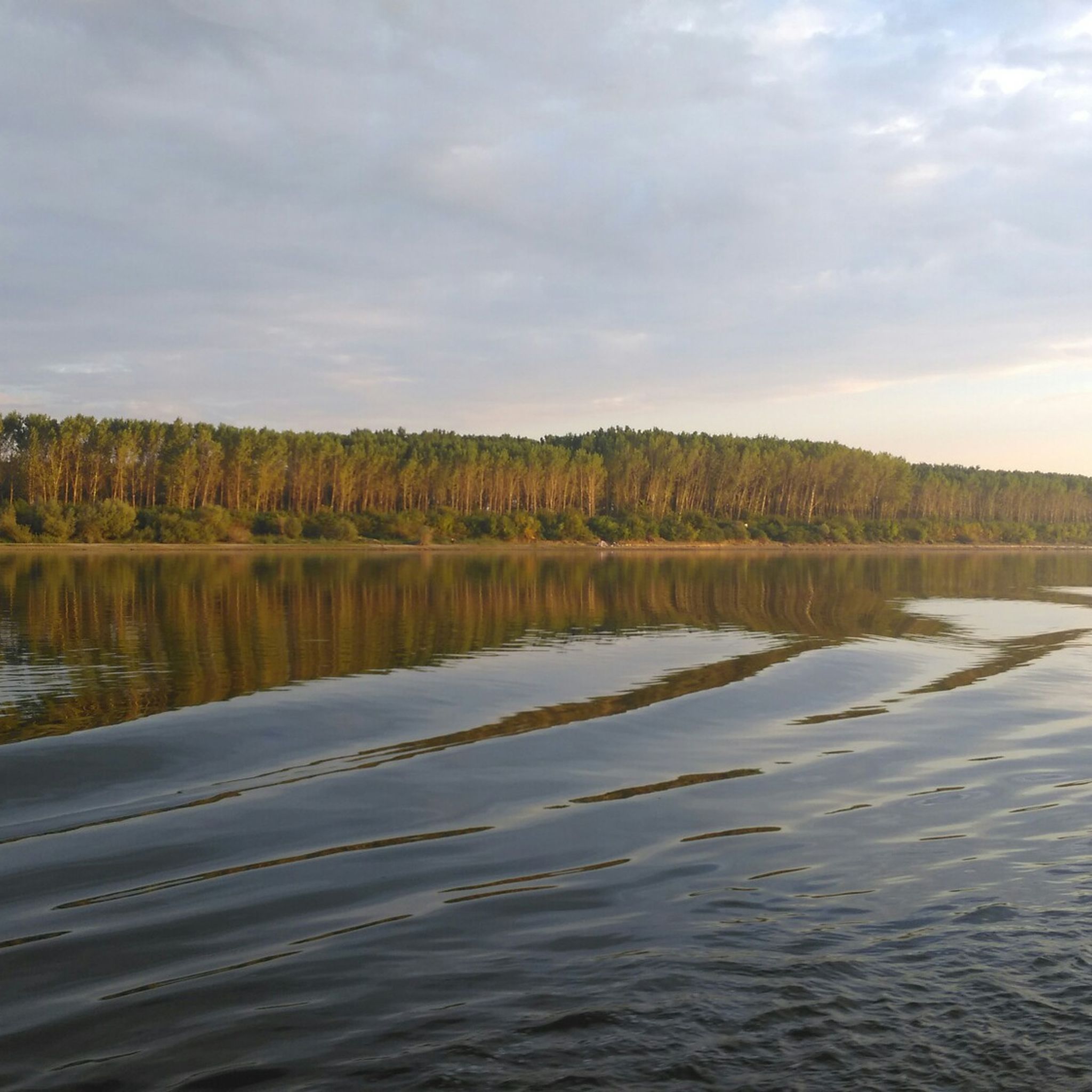
Cycling around Ottensheim
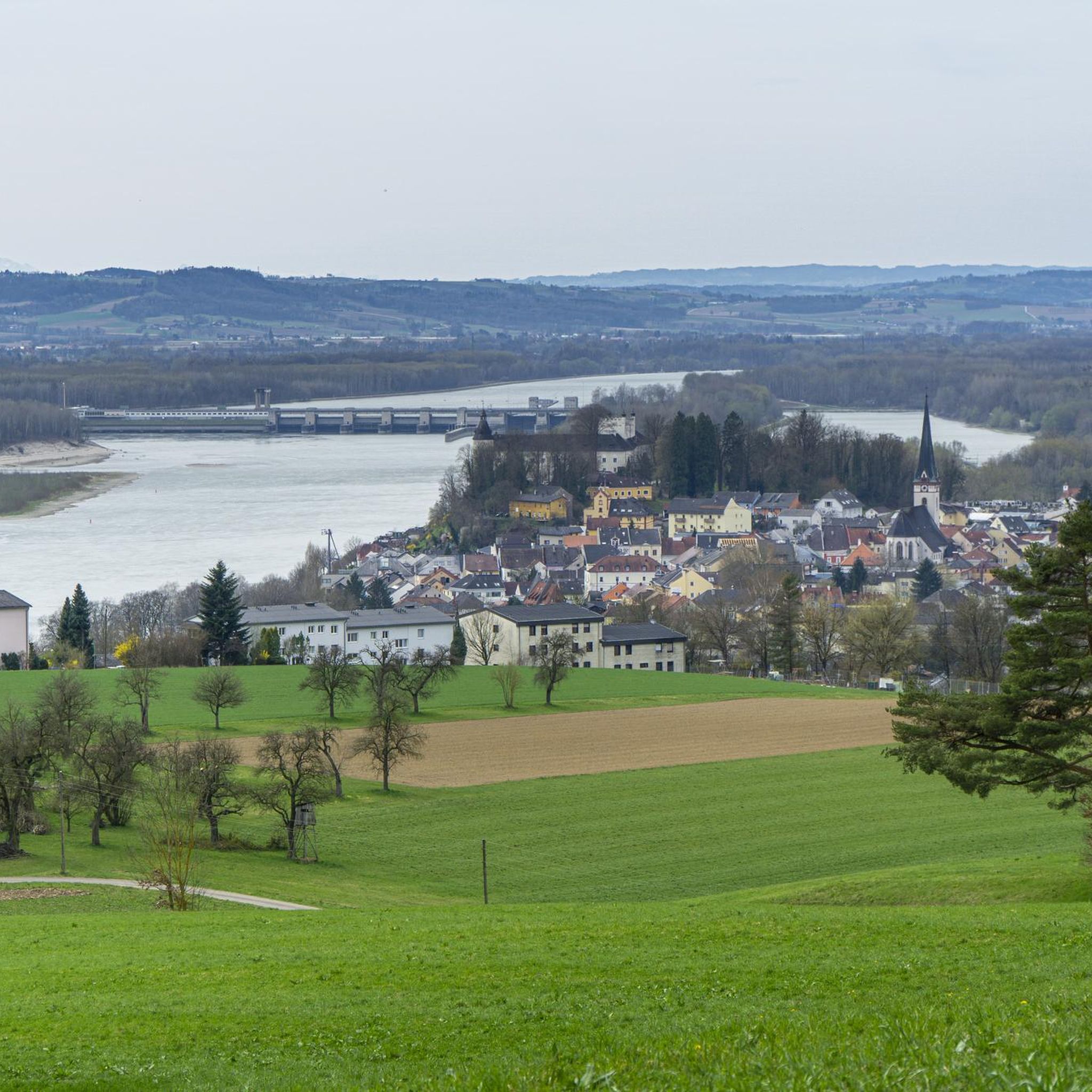
Road Cycling Routes around Ottensheim
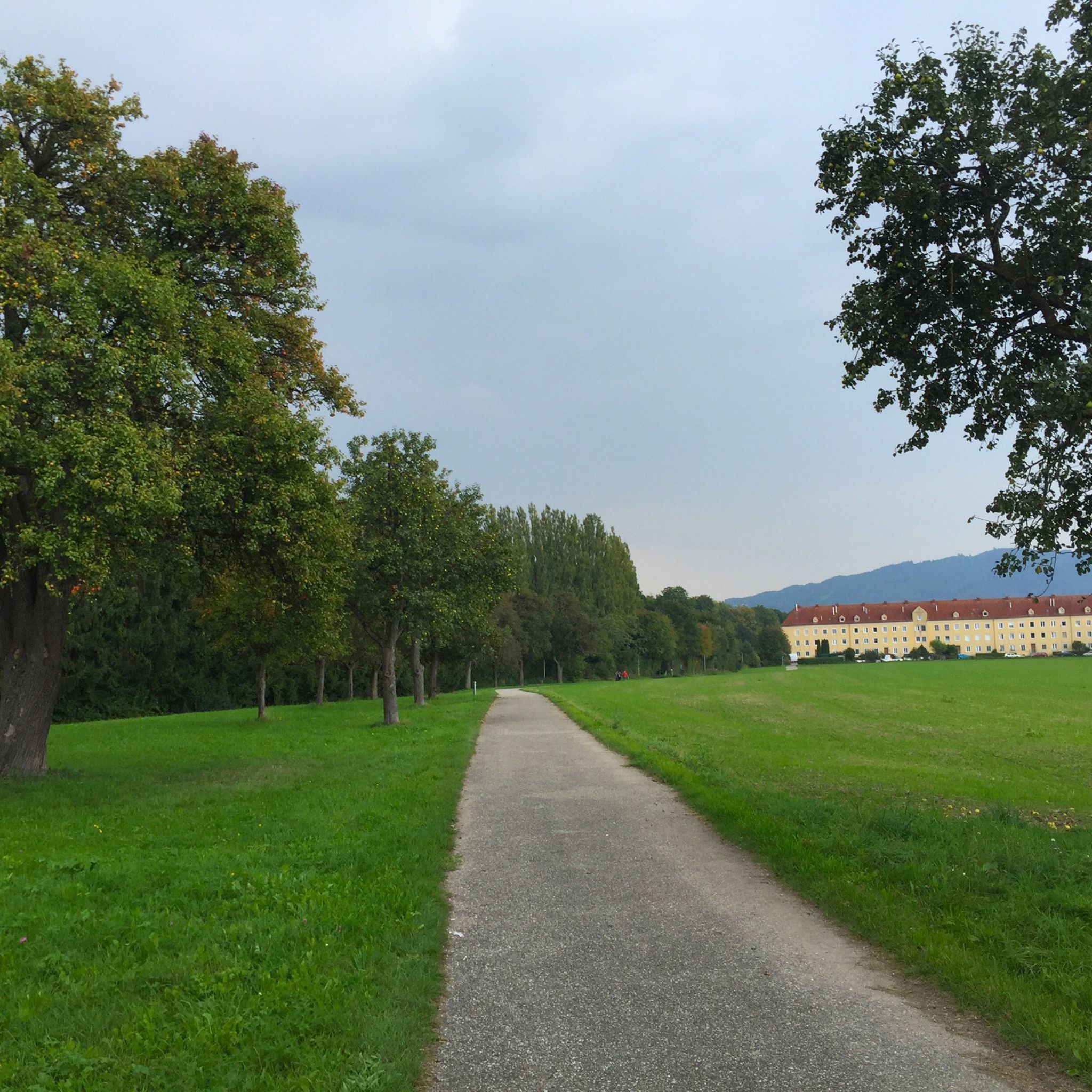
Hiking around Ottensheim
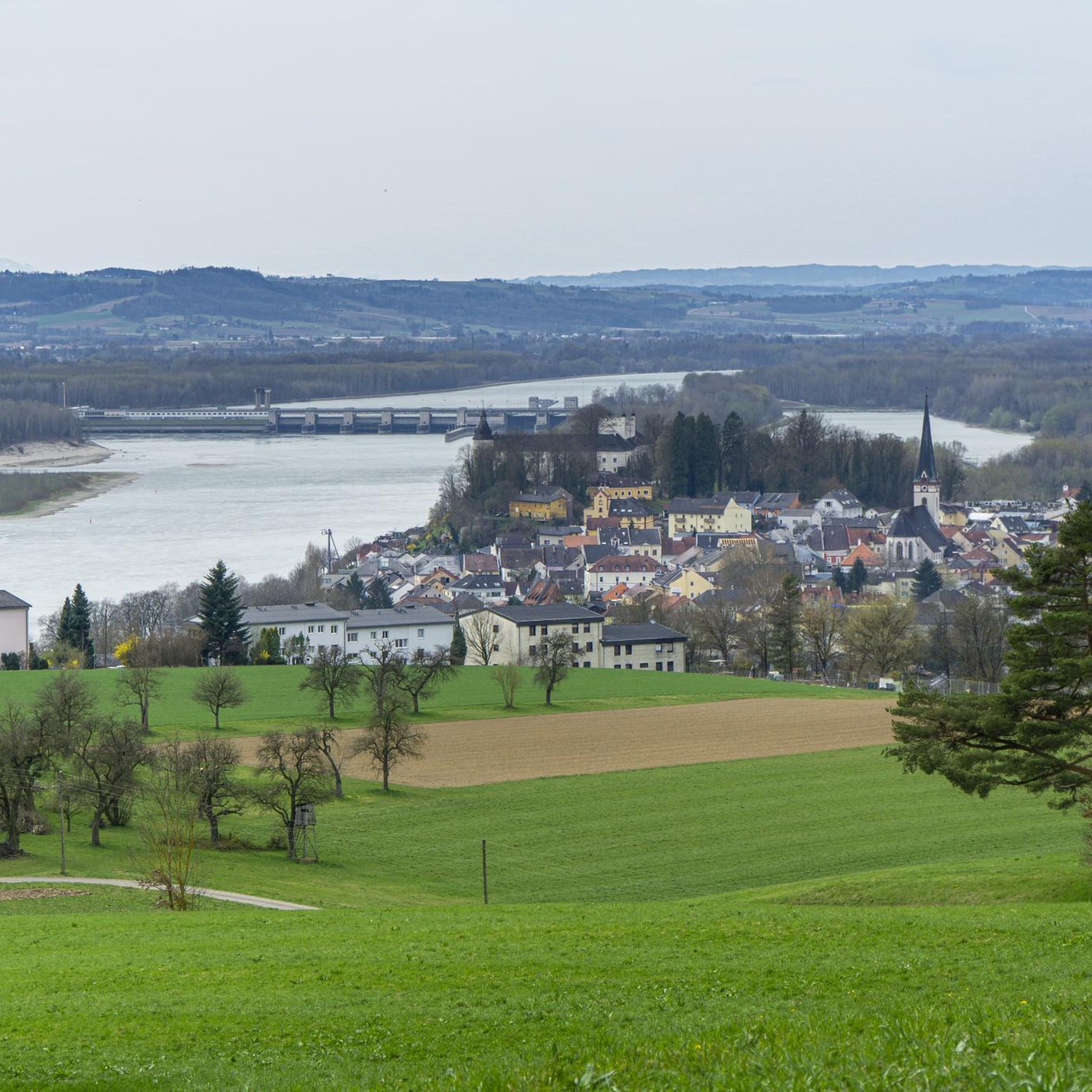
MTB Trails around Ottensheim
Running Trails around Ottensheim
Mountain Hikes around Ottensheim
Other adventures around Ottensheim


Tips from the Community

Giselawarte was built in 1856 and named after Princess Gisela, a daughter of Emperor Franz Joseph. In 1960, it was increased by two stories.
4
0

Modern summit cross in a beautiful clearing.
0
0

The pilgrim's cross is easily accessible from the Kürnbergerwald parking lot. Today the path was a bit slippery in places due to the frozen and melted snow – hiking poles are advisable at the moment. But the panorama of the winter landscape is simply magnificent! 🤩 Definitely worth a hike.
0
0
A metallic cross on a stone base.
2
0

Cross at the Gisela Tower
6
0

The view of Linz from the viewing platform on Pöstlingberg is breathtaking! From there, you have a magnificent view of the city and the surrounding landscape.
9
0

Quiet clearing on the summit, with a bench for resting.
0
0

The Koglerauer Spitz is a 685 meter high mountain. The view, especially of the Danube, is not that fantastic due to the tall trees. But the path from Pöstlingberg with the Alpine panorama is really great.
9
0
Frequently Asked Questions
What are the most notable elevated points directly within Ottensheim's municipality?
Within Ottensheim itself, the Dürnberg stands out as the highest point, reaching 549 meters. While not a dramatic peak, it contributes to the local topography and is suitable for local walks and enjoying the natural landscape.
Which mountain peaks are popular for excursions and easily accessible from Ottensheim?
The Koglerauer Spitz, at 685 meters, is a popular excursion destination just outside Ottensheim's immediate boundaries. It features a summit cross and a rest area, offering a rewarding hiking experience. Another accessible option is the Pöstlingberg, known for its views and amenities.
Are there family-friendly mountain peaks or viewpoints around Ottensheim?
Yes, several spots are considered family-friendly. The View of Linz from the Euphemia Viewing Platform (Pöstlingberg) is a great option, offering views and amenities like a restaurant and hotel. The Pilgrims' Cross on the Kürnberg summit is also listed as family-friendly, providing a pleasant walk to a significant landmark.
What kind of views can I expect from the peaks near Ottensheim?
From the Euphemia Viewing Platform on Pöstlingberg, you can enjoy a fantastic view of Linz and the Danube. While the Koglerauer Spitz offers a summit experience, views of the Danube can sometimes be obscured by trees, though an alpine panorama is often visible on clear days.
Are there any unique monuments or landmarks on the peaks in the region?
Yes, the Pilgrims' Cross on the Kürnberg summit features a small summit cross and a stainless steel sculpture. The Koglerauer Spitz also has a summit cross and a rest area. Additionally, the Gisela Tower and Gisela Cross on Lichtenberg offer another notable man-made monument and viewpoint.
What hiking opportunities are available near the mountain peaks around Ottensheim?
The region offers an extensive network of hiking trails. For example, a moderately difficult, approximately three-hour round trip route leads to the Koglerauer Spitz from Ottensheim via the Bleicherbachtal. You can find more hiking routes, including a moderate 13.3 km loop to Koglerauer Spitz, in the Hiking around Ottensheim guide.
Are there circular hiking routes around the peaks near Ottensheim?
Yes, there are several circular hiking routes. For instance, a moderate 13.3 km loop, 'Bleicherbach Valley – Koglerauer Spitz loop from Ottensheim', is available. Another option is the 'View of Wilhering Abbey – Hoher Dürnberg Summit (549 m) loop from Dürnberg bei Ottensheim', which is an 8 km moderate hike. Explore more options in the Hiking around Ottensheim guide.
What other outdoor activities can I do near the mountain peaks in the Ottensheim area?
Beyond hiking, the area around Ottensheim is excellent for cycling and mountain biking. You can find various routes, such as the 'Ottensheim Market Square – Feldkirchen Bathing Lake loop' for cycling in the Cycling around Ottensheim guide, or the 'Walding Zoo – Panoramic View from Limberg loop' for mountain biking in the MTB Trails around Ottensheim guide.
When is the best time to visit the mountain peaks around Ottensheim?
The region is generally pleasant for outdoor activities from spring through autumn. While specific peak conditions vary, these seasons offer favorable weather for hiking and enjoying the views. Winter hiking is also possible on some trails, but it's always advisable to check local weather conditions beforehand.
Are there places to stop for refreshments or accommodation near the peaks?
Yes, the Pöstlingberg is well-equipped with a restaurant and hotel, making it an ideal spot for a break or an overnight stay. Other peaks like the Koglerauer Spitz offer rest areas at the summit for a packed lunch.
What do visitors enjoy most about the mountain peaks around Ottensheim?
Visitors frequently appreciate the stunning views, especially from viewpoints like the Euphemia Viewing Platform. The sense of achievement from reaching summits like the Koglerauer Spitz, combined with the fresh air and natural beauty, are also highly valued. The presence of unique landmarks like the Pilgrims' Cross adds to the experience.
Most popular routes around Ottensheim
Most popular attractions around Ottensheim

Get inspired with the komoot mobile app


Explore more
See even more amazing summits around Ottensheim with these guides:
