The 6 Most Amazing Peaks around Langenlois
Mountain peaks around Langenlois offer elevated areas and ridges that provide recreational opportunities and views. The region, situated in the Kamptal valley, features a landscape shaped by wine culture and geological formations. These elevated points are integral to experiencing the local natural landscape and its connection to viticulture. The area is characterized by low mountain ridges and prominent rock formations rather than towering alpine peaks.
Best mountain peaks around Langenlois
- The most popular mountain peaks is Danube Lookout on Braunsdorfer…
Last updated: July 1, 2026
Danube Lookout on Braunsdorfer Hill
Highlight • Viewpoint
Translated by Google •
Tip by

Kampthalerwarte
Highlight • Viewpoint
Translated by Google •
Tip by

Sign up now to discover places like this
Get recommendations on the best single tracks, peaks, & plenty of other exciting outdoor places.
Sign up for free
Pyramids on the Manhartsberg
Highlight • Monument
Translated by Google •
Tip by

Manhartsberg Summit and Memorial Cross
Highlight • Summit
Translated by Google •
Tip by

Summit of the Stiefern Way of the Cross
Highlight • Religious Site
Translated by Google •
Tip by

Sign up for free to discover even more peaks around Langenlois.
Sign up for free
Already have an account?
Start today with a free account
Your next adventure awaits.
Login or Signup
Popular around Langenlois
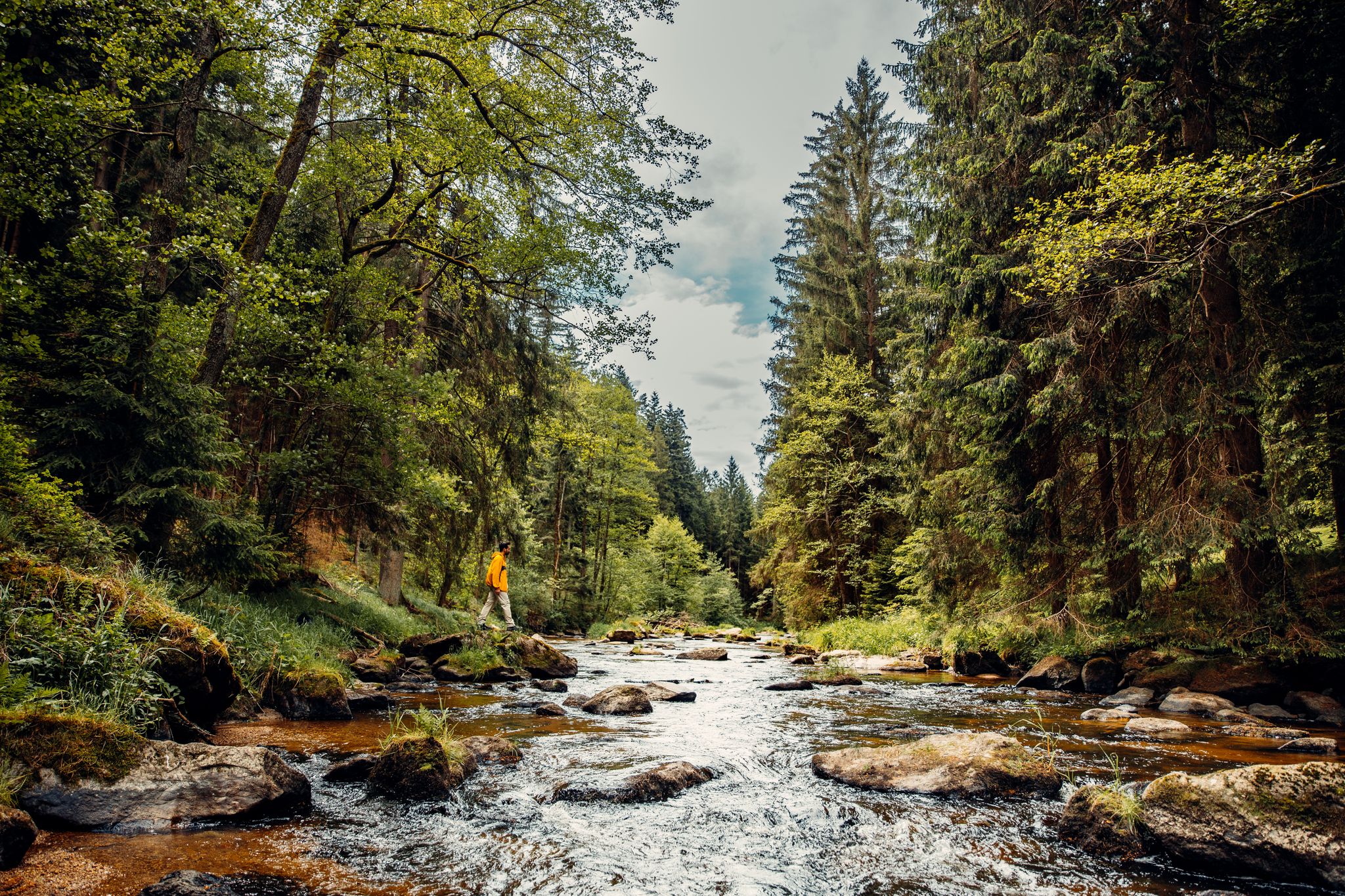
Cliffs, a gorge and vineyards – day hikes in the Waldviertel
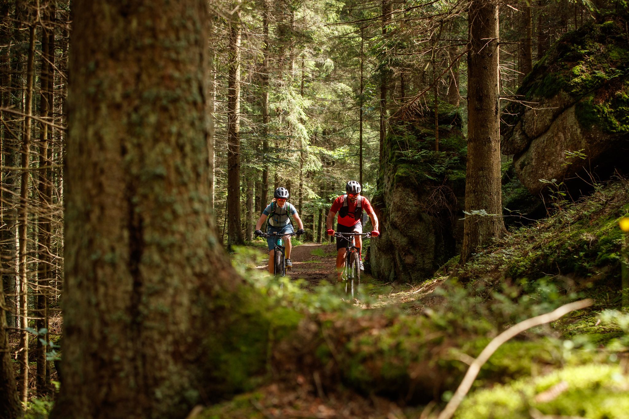
Between bizarre rocks and pristine forests – MTB in the Waldviertel
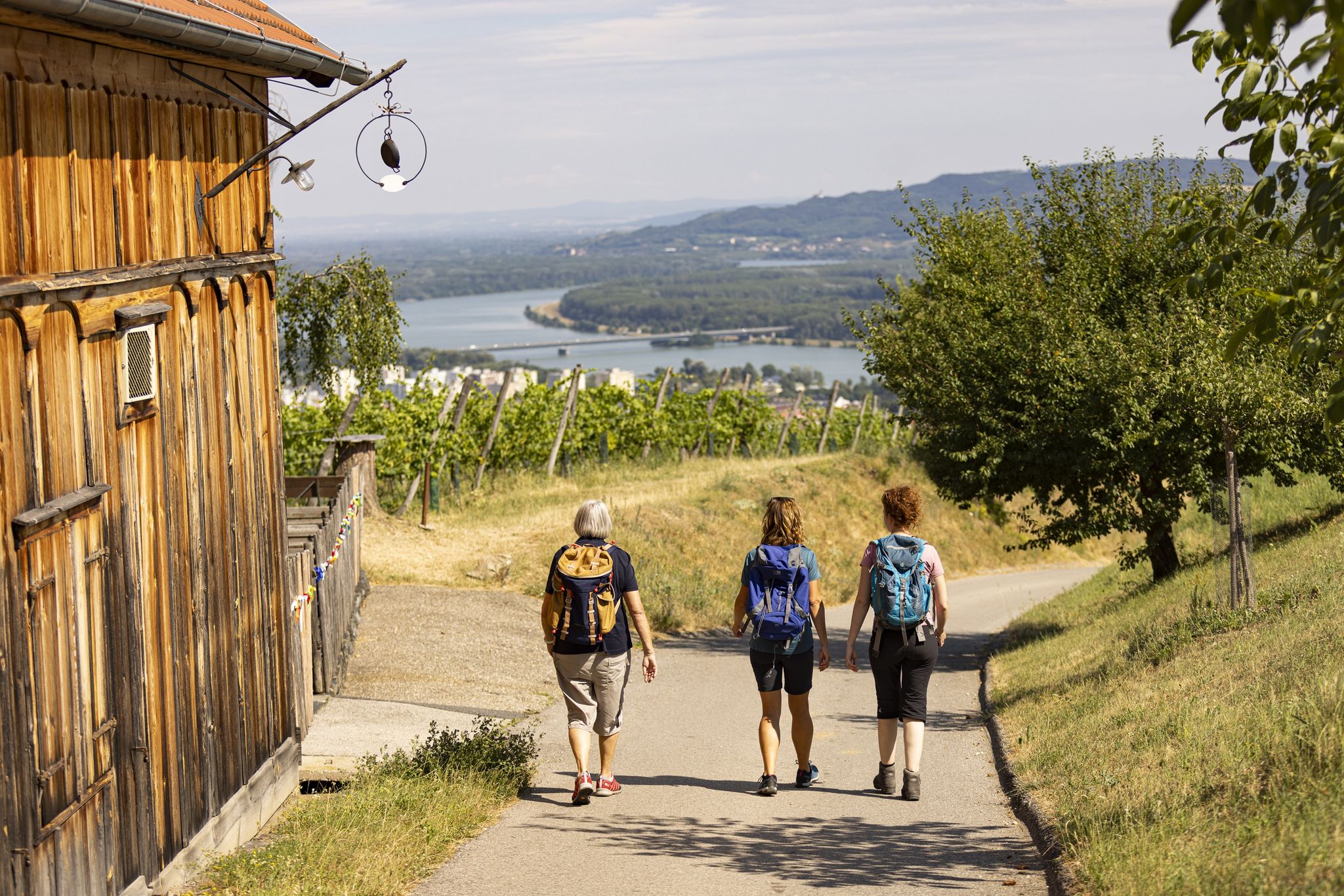
Into the valley of wine - Kremstal-Danube Long Distance Trail

Cycling Tours in Austria’s wine regions
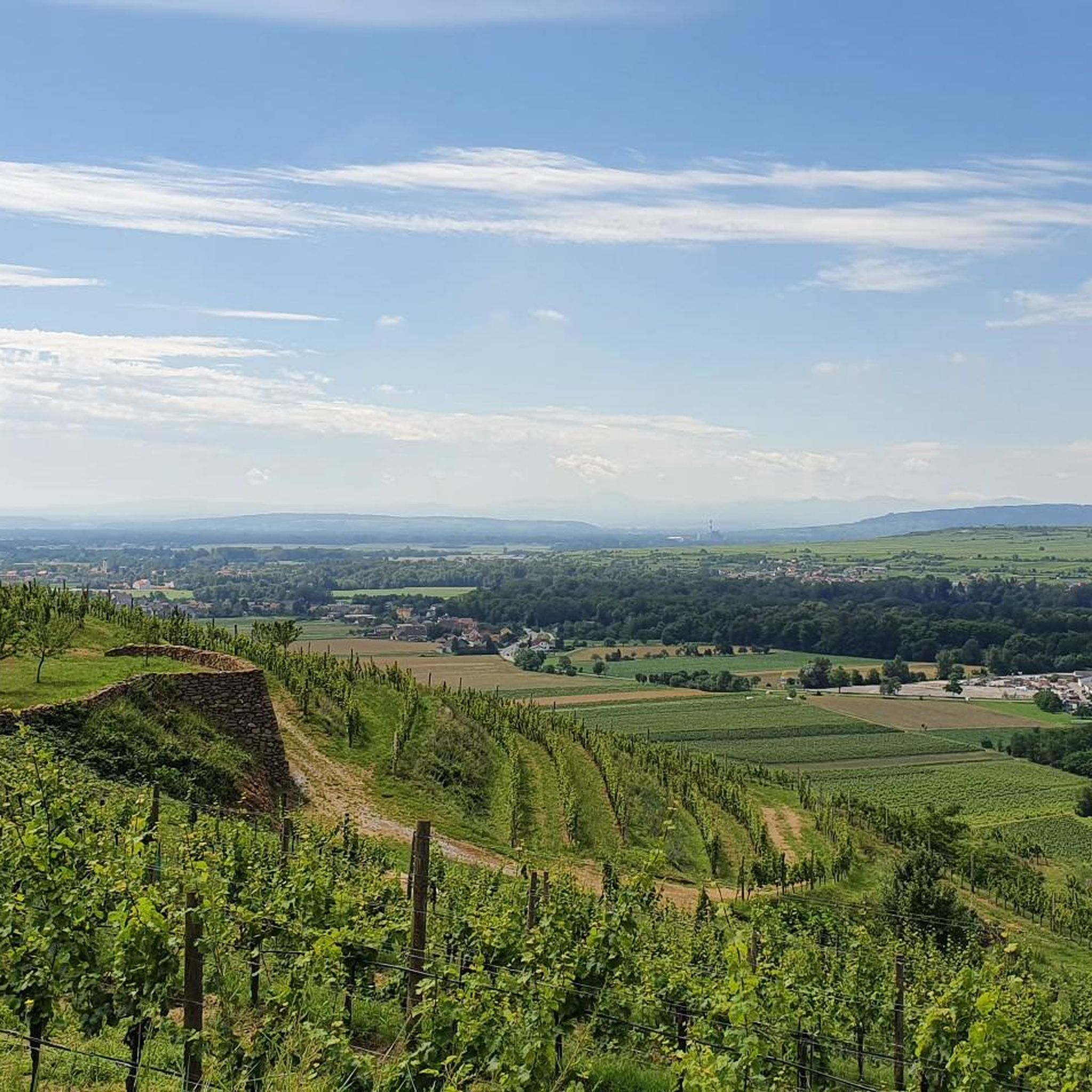
Hiking around Langenlois
Cycling around Langenlois
MTB Trails around Langenlois
Road Cycling Routes around Langenlois
Running Trails around Langenlois

Gravel biking around Langenlois
Other adventures around Langenlois


Tips from the Community

Very beautiful Way of the Cross from STiefern to Schönberg.
0
0
The lookout tower is actually called Kamtalwarte and is 21 m high.
0
0

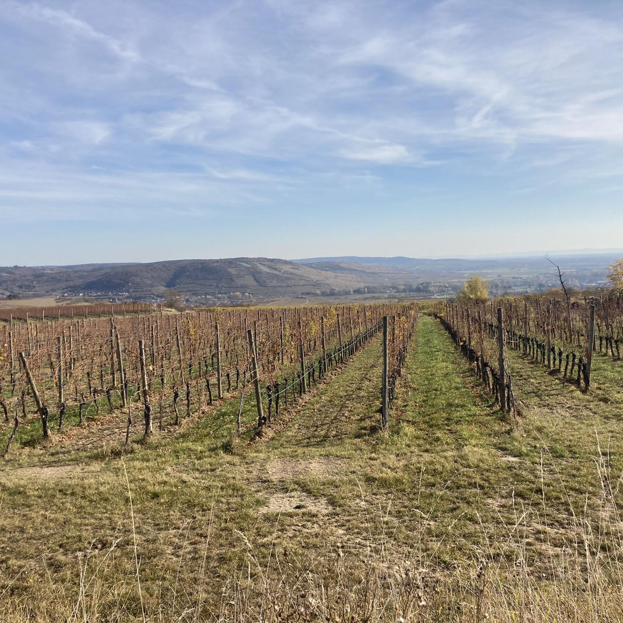
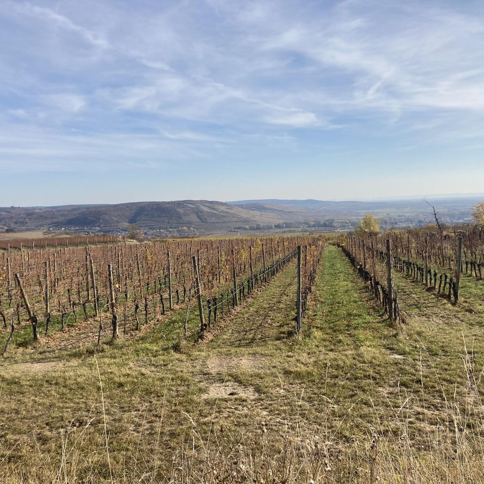
The Manhartsberg region on the border between the Waldviertel and Weinviertel is a centuries-old settlement area with natural beauty, fertile landscapes, good infrastructure and a high quality of life. Around 11,200 people live in the seven communities on the ridge of the Manhartsberg (537 m), which forms the gateway to the Waldviertel, on 240 km2.
1
0


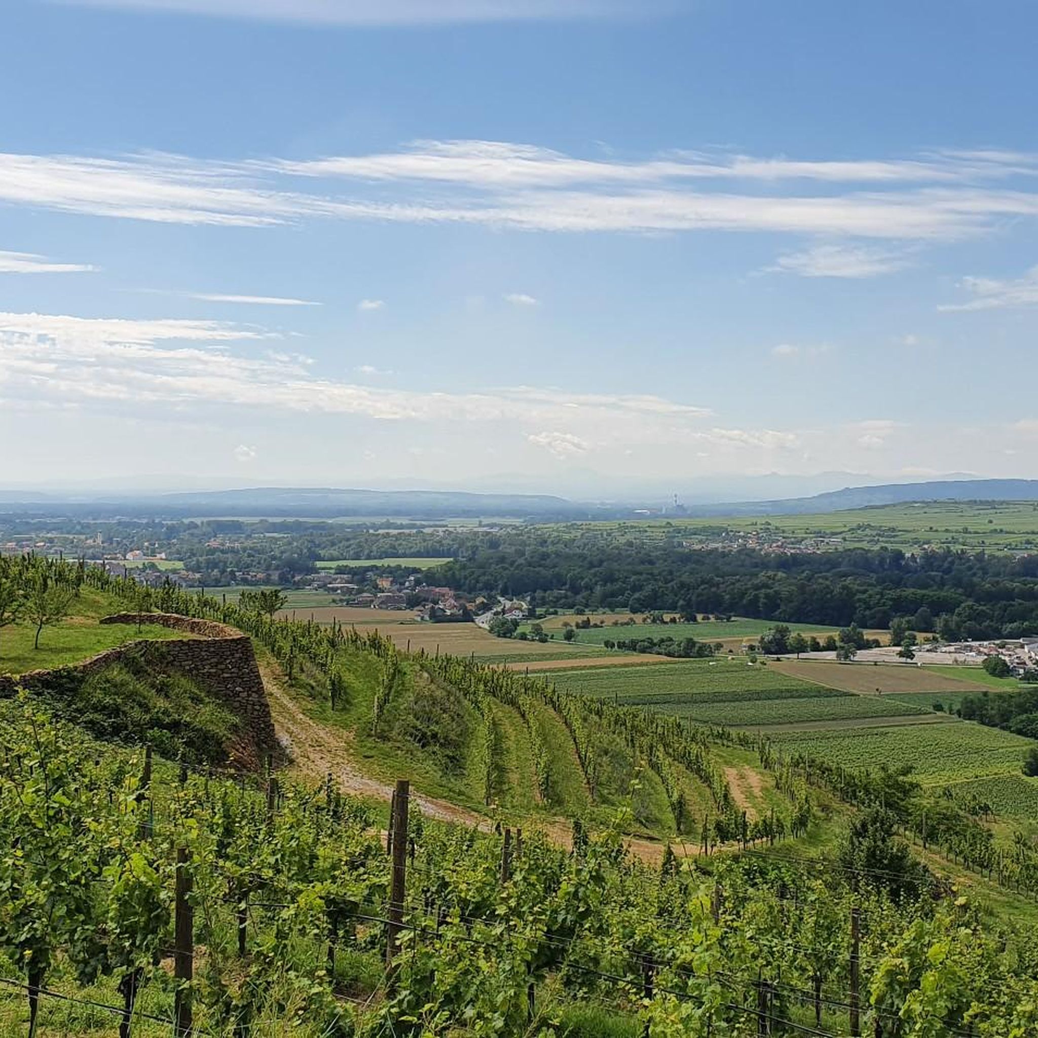
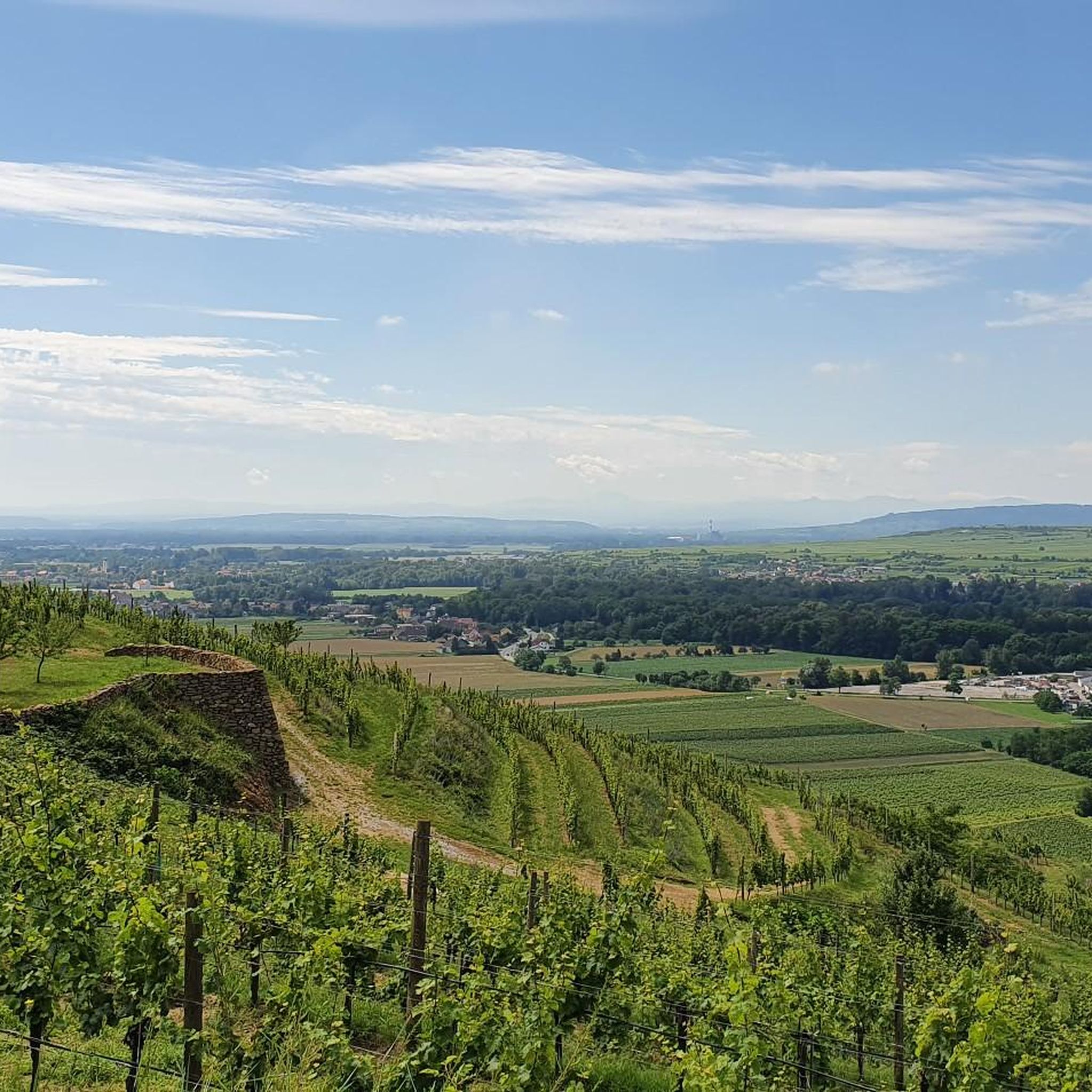
Wonderful view over Krems into the Tullnerfeld, over the Danube to Göttweig Abbey and into the Dunkelsteinerwald, located on the Großer Tullnerfeld circular hiking trail 675 and the Waldviertel long-distance hiking trail 606, one of the Mariazell pilgrim paths also passes through here, the 06er.
5
1

The hiking trail to the observation point leads through a really beautiful forest or beautiful vineyards and the view rewards the climb.
1
0
The control room, also known as the “Heiligensteinerwarte”, is famous for its magnificent view. When the weather is good, the view extends as far as the Alpine peaks of the Ötscher and Schneeberg! In 1889 the Kamptalbahn started its first train journey. At this time, the development of tourism in the Kamp Valley also began. Summer freshness was the order of the day and many people from Vienna and other cities flocked to the wine-filled idyll on the Kamp. In order to give summer visitors a view from Heiligenstein, the Austrian Tourist Club built the pretty “Kampthalwarte” (as it was then spelled) in the neo-Gothic style in 1897.
3
0

Open: May, June, September and October: Saturday and Sunday 2 p.m. to 5 p.m. (if the weather is fine, a flag will be hoisted as a visible sign that the control room is open; the rest of the time, a key for the control room is available here: Ursin Haus and Fiakerwirt in Langenlois and Gasthaus Gutmann in Zöbing (Admission: €1.00 for adults, €0.50 for children)
2
0
Frequently Asked Questions
What are some notable elevated areas or "mountain peaks" in the Langenlois region?
While Langenlois isn't known for towering alpine peaks, the region offers several elevated areas that provide excellent views and recreational opportunities. Key spots include the Danube Lookout on Braunsdorfer Hill, the Kampthalerwarte on Heiligenstein, and the Pyramids on the Manhartsberg. Other notable points are the Loiser Berg and Schilterner Berg.
Which elevated areas offer the best panoramic views around Langenlois?
For expansive vistas, the Danube Lookout on Braunsdorfer Hill provides beautiful panoramic views over Krems, the Tullnerfeld, and the Danube. The Kampthalerwarte on Heiligenstein is also renowned for its magnificent views over the entire region, extending to the Alpine peaks on clear days. The Hießbergwarte Viewpoint also offers an excellent vantage point of the Kremstal.
Are there family-friendly elevated spots or viewpoints in Langenlois?
Yes, the Danube Lookout on Braunsdorfer Hill is categorized as family-friendly and is a beautiful place that invites visitors to linger and enjoy the scenery. Many of the hiking trails leading to these viewpoints are also suitable for families, offering a chance to experience the region's nature and wine culture.
What kind of terrain can I expect when hiking the elevated areas near Langenlois?
The terrain around Langenlois's elevated areas typically involves low mountain ridges, prominent rock formations, and gentle slopes through vineyards and natural landscapes. Trails range from easy to moderate, often featuring well-maintained paths. The Heiligenstein, for example, is known for its steep wine terraces, offering a unique hiking experience.
What is the significance of the Manhartsberg near Langenlois?
The Manhartsberg is a low, flat mountain ridge reaching 537 meters (1,762 feet) above sea level. It's geologically significant as the southern and eastern flank of the Bohemian Massif in Austria. It's also considered the historical border between the Waldviertel and Weinviertel regions. The Pyramids on the Manhartsberg are a notable man-made monument on this ridge.
Are there hiking trails associated with the Heiligenstein?
Yes, the Heiligenstein is a popular spot for hiking. Several trails lead to its summit, including a recommended route from the Kamp valley. An easy hiking trail known as the "Wine and Water Round to the Kamptalwarte on Heiligenstein" allows visitors to explore this area, famous for its steep wine terraces and the Kampthalerwarte lookout tower.
What outdoor activities can I do near the mountain peaks around Langenlois?
The region around Langenlois offers diverse outdoor activities. You can enjoy gravel biking on routes like the "Langenlois and Gföhl Gravel Tour" or "Wagram Peace Stupa – Grafenegg Castle loop from Langenlois" (find more at Gravel biking around Langenlois). Running trails are also popular, such as the "LOISIUM Wine Experience World loop from Langenlois" (explore more at Running Trails around Langenlois). Cycling is another great option, with routes like the "Kamp Bridge Zöbing – Bridge Over the Kamp loop from Langenlois" (see more at Cycling around Langenlois).
When is the best time of year to visit the elevated areas around Langenlois for hiking?
The best time to visit for hiking is generally between grape harvest and spring for better visibility, especially on spots like Loiser Berg where grapevines might restrict views during certain seasons. Spring and autumn offer pleasant temperatures and beautiful scenery, with autumn being particularly stunning due to the changing colors of the vineyards.
Are there any historical or cultural landmarks on these elevated points?
Yes, several elevated points feature historical or cultural significance. The Kampthalerwarte on Heiligenstein is a historical lookout tower built in 1897. The Pyramids on the Manhartsberg are a man-made monument with geological importance. Additionally, the Summit of the Stiefern Way of the Cross features a religious building and historical site.
What do visitors particularly enjoy about the elevated areas and viewpoints in Langenlois?
Visitors highly appreciate the magnificent panoramic views, especially from spots like the Danube Lookout on Braunsdorfer Hill and the Kampthalerwarte. The opportunity to linger and enjoy the scenery, the unique geological features like the Manhartsberg, and the integration of hiking trails through picturesque vineyards are also frequently highlighted.
Are there options for food and drink near the mountain peaks or hiking trails?
Langenlois is a wine town, so you'll find numerous opportunities for food and drink. While specific cafes or pubs might not be directly on every summit, many trails, such as the WEINWEG Langenlois, lead through vineyards and past wineries where you can enjoy local wines and cuisine. The key to the Kampthalerwarte can even be borrowed from inns in Zöbing, suggesting nearby establishments.
How accessible are the elevated areas around Langenlois by public transport?
Langenlois itself is accessible by public transport. For specific elevated areas like Heiligenstein, public transport options might require a combination of bus and walking. It's advisable to check local bus schedules for routes connecting to villages near the trailheads, such as Zöbing for Heiligenstein.
Can I bring my dog on hikes to the elevated areas in Langenlois?
Generally, dogs are welcome on hiking trails in the Langenlois area. However, it's always recommended to keep them on a leash, especially when passing through vineyards or near livestock, and to be mindful of other hikers and local regulations. Ensure you carry water for your dog, especially on warmer days.
Most popular routes around Langenlois
Most popular attractions around Langenlois

Get inspired with the komoot mobile app


Explore more
See even more amazing summits around Langenlois with these guides:
