The best walks and hikes around Eppertshausen
4.3
(207)
849
hikers
78
hikes
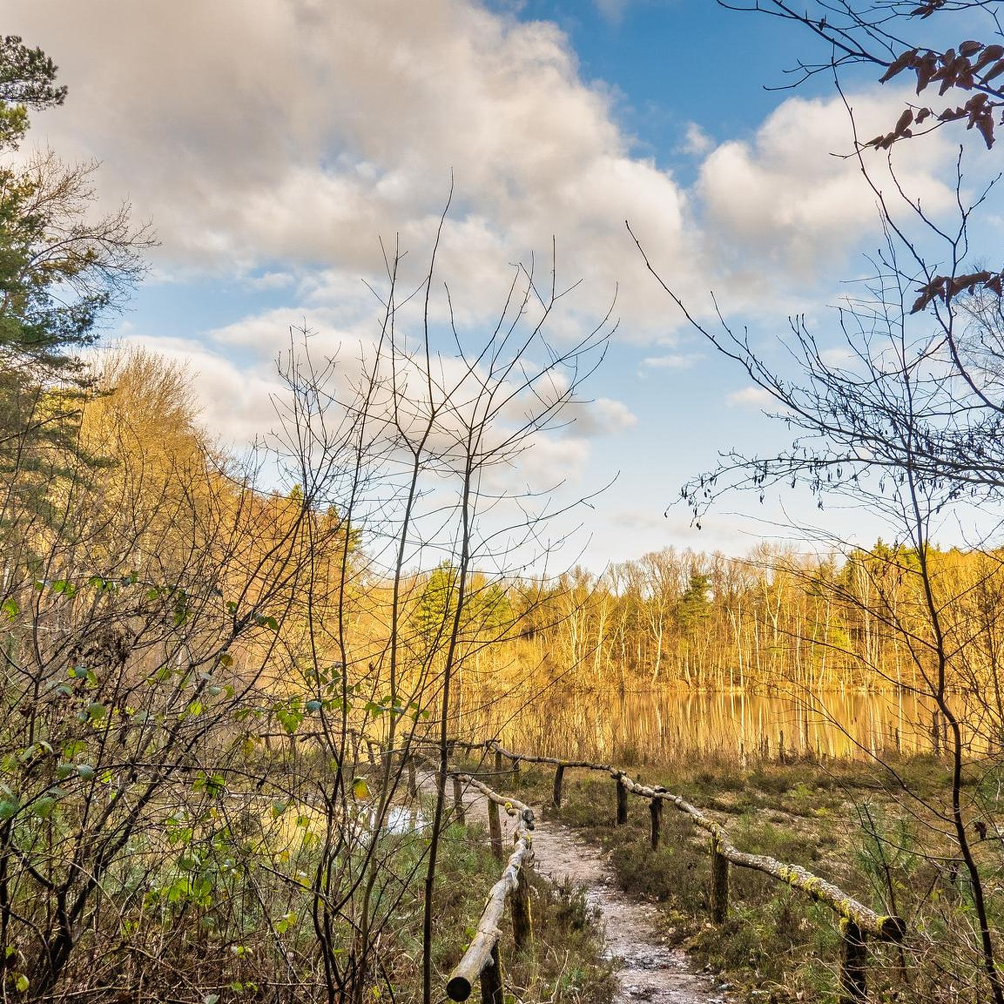
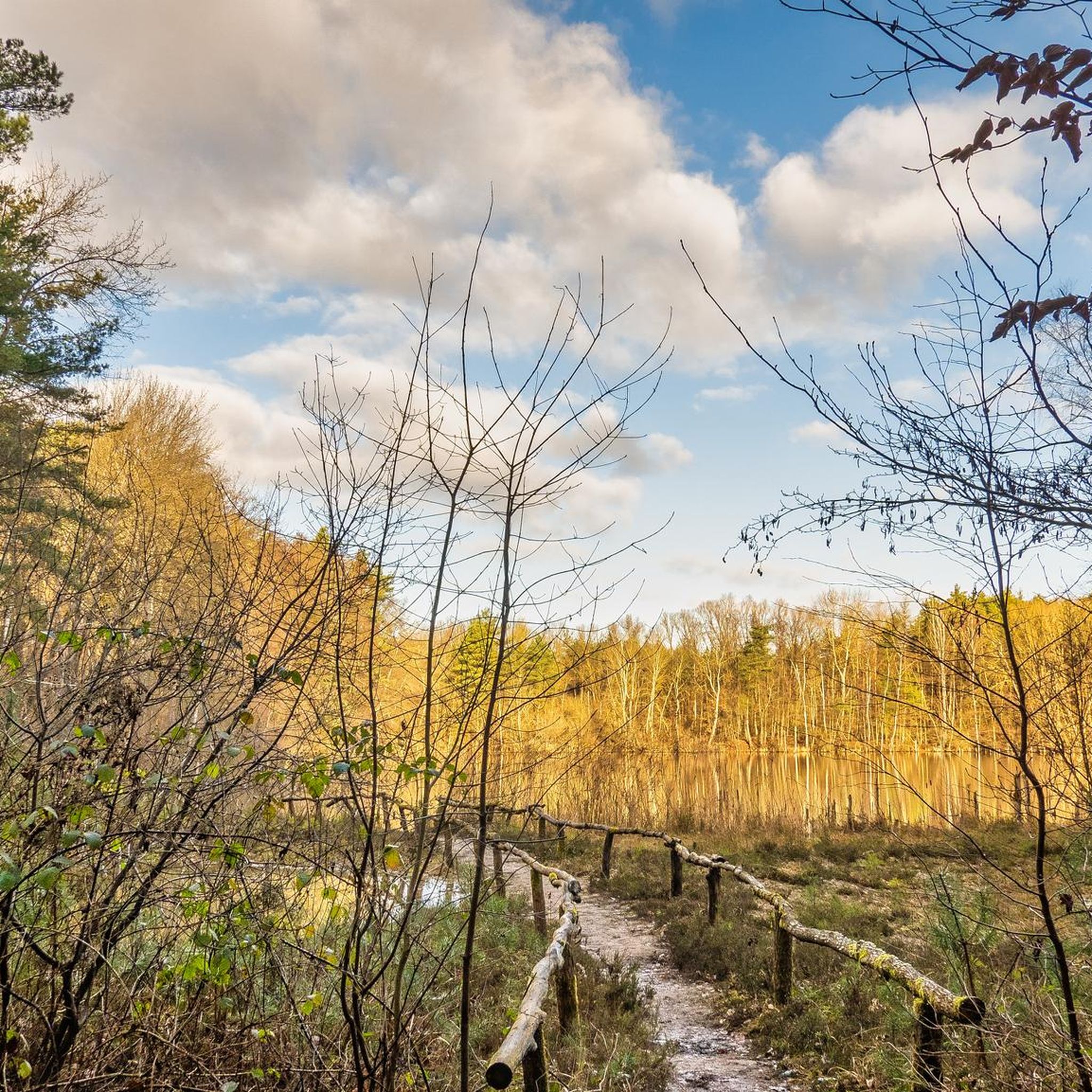
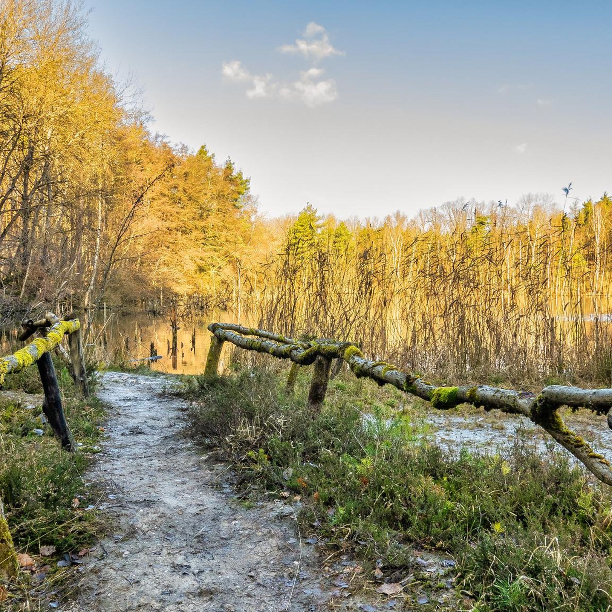
Hiking around Eppertshausen offers access to a varied landscape within the Rhine-Main area of southern Hesse, Germany. The region is characterized by generally flat terrain with gentle hills, with elevations between 130 and 190 meters above sea level. Hikers can explore picturesque forests, fields, meadows, and numerous small bodies of water, including various ponds, lakes, and streams, particularly along the Gersprenz river. This environment provides diverse natural features for different hiking experiences.
Best hiking trails in Eppertshausen
- The most popular…
Last updated: October 4, 2026
4.2
(63)
216
hikers
Moderate hike. Good fitness required. Easily-accessible paths. Suitable for all skill levels.
4.0
(17)
67
hikers
Easy hike. Great for any fitness level. Easily-accessible paths. Suitable for all skill levels.

5.0
(4)
19
hikers
Moderate hike. Good fitness required. Easily-accessible paths. Suitable for all skill levels.
3.7
(3)
13
hikers
Easy hike. Great for any fitness level. Easily-accessible paths. Suitable for all skill levels.
2.8
(4)
18
hikers
Easy hike. Great for any fitness level. Easily-accessible paths. Suitable for all skill levels.
Get access to more routes and recommendations from other explorers.
Already have an account?
Our route recommendations are based on thousands of hikes, rides, and runs completed by other people on komoot.
Start today with a free account
Your next adventure awaits.
Tips from the Community

Even in midsummer, you can sit in the shade here and enjoy a short break.
1
0

Small commemorative square with a bench and shade - a quiet spot to pause for a moment.
0
0
In this forest between Eppertshausen and Hergershausen there are some benches to rest a little.
1
0

We were there on May 1, 2026. No recommendation. Just hordes of young people with wagons. And the staff at Thomashütte were extremely disorganized - each of the approx. 10 servers came out with only one plate or drink at a time - of course, that doesn't work. Therefore, I could imagine that it wasn't just May 1st why it ran so chaotically?!
1
0
Currently, some areas are still a "lake landscape".
1
0
The staff of the "Explosive Ordnance Disposal Service" are still active here in the forest.
1
0

Beautifully situated.. Beautiful to look at.. but also with a sad past as told by a cross
14
0
Well... with the daily departure it's a bit of a problem...see photos
11
0
Frequently Asked Questions
How many hiking trails are available around Eppertshausen?
There are over 80 hiking routes in the Eppertshausen area, catering to various preferences and skill levels. The majority, over 70, are classified as easy, with a few moderate and one difficult option available.
What do other hikers enjoy most about the trails in Eppertshausen?
The hiking trails around Eppertshausen are highly rated by the komoot community, with an average score of 4.2 stars from over 180 reviews. Hikers often praise the varied terrain, which includes picturesque forests, the tranquil Gersprenz river nature reserve, and numerous small lakes and ponds.
Are there any easy, family-friendly hikes in Eppertshausen?
Yes, Eppertshausen offers many easy and family-friendly options. A good choice is the Anam Cara Animal Sanctuary – Kolping Fitness Trail loop from Eppertshausen, which is an easy 3.2 km path. The generally flat landscape with gentle hills makes it suitable for relaxed outings with children.
Are there circular hiking routes available?
Many routes in Eppertshausen are circular. For example, the Thomashütte Manor Beer Garden – Aje Lake (New Quarry) loop from Erlenwiesen bei Ober-Roden is a popular 5.4 km circular trail that takes you past local water features.
What kind of natural features can I expect to see on a hike?
Eppertshausen's landscape features picturesque forests, the tranquil Gersprenz river nature reserve, and various ponds, lakes, and small bodies of water. The area's history, having once been under a warm, shallow ocean, has left behind sandy soil, influencing the local flora.
Are there any specific landmarks or attractions to look out for?
While hiking, you might encounter interesting points like the Thomashütte Experience Inn, which can be part of a route. The region is also close to the foothills of the Odenwald, offering diverse scenery.
Can I find hikes that include viewpoints or scenic spots?
While Eppertshausen is generally flat, the presence of gentle hills allows for varied experiences. The Little Meadow View – Thomashütte Manor Beer Garden loop from Erlenwiesen bei Ober-Roden offers pleasant vistas of the surrounding nature.
Are there any routes that pass by lakes or water bodies?
Yes, the area is known for its water features. The Aje Lake (New Quarry) – Old Quarry Pond loop from Breitefeld is an easy 5.1 km path that offers views of the area's small lakes and ponds.
What is the best time of year to go hiking in Eppertshausen?
Eppertshausen benefits from a mild climate and less rain compared to other parts of Germany, making it conducive to outdoor activities for much of the year. Spring and autumn offer pleasant temperatures and beautiful scenery, though the forests are enjoyable year-round.
Are there any hikes that follow a river?
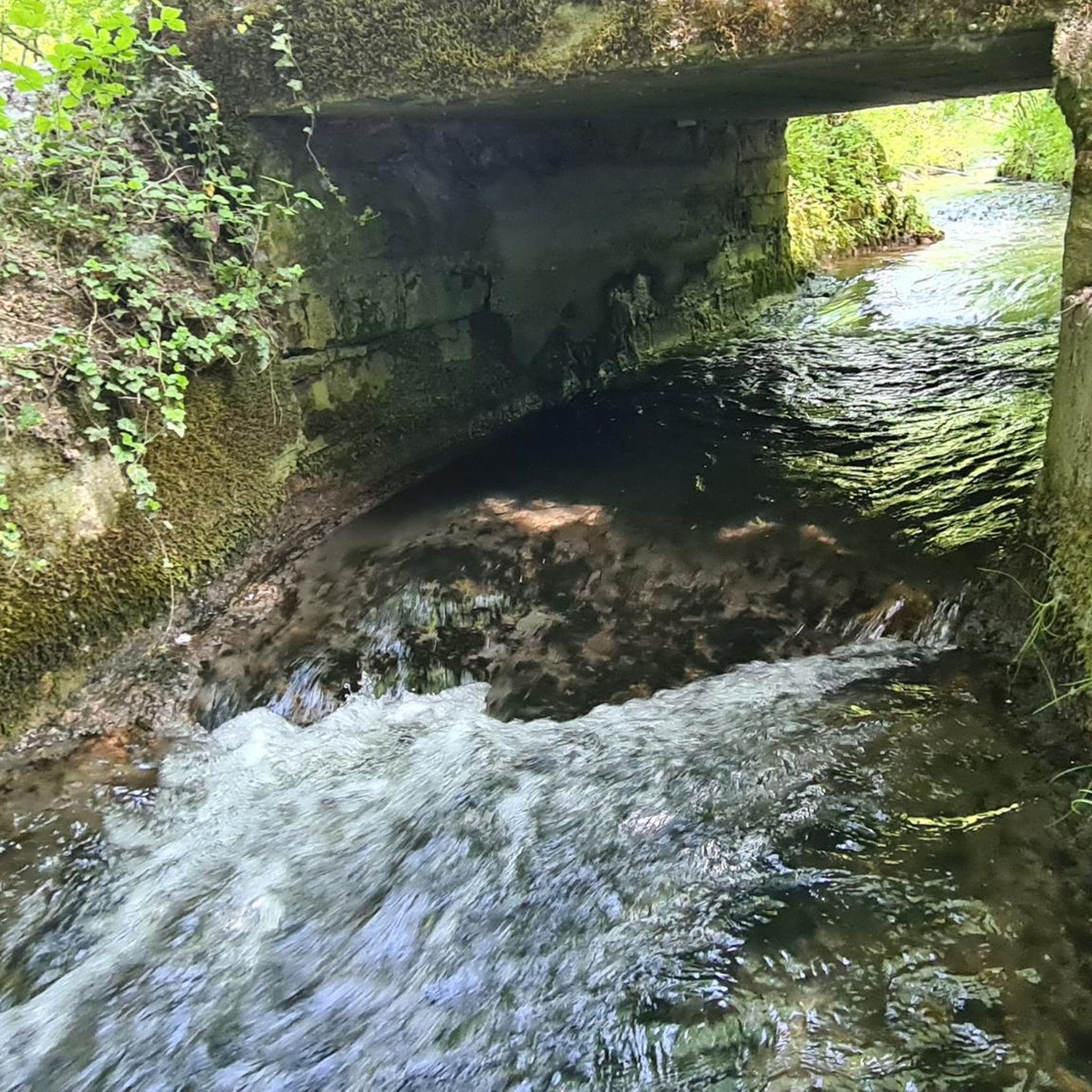
Yes, you can explore routes along the Gersprenz river. The Fish ladder Lache/Gersprenz – Anglerheim at Erlensee loop from Eppertshausen is an 8.8 km trail that leads through the Gersprenz river nature reserve.
Are there places to eat or rest along the trails?
Some routes incorporate places like the Thomashütte Experience Inn, which is a popular spot for hikers. The region also has various huts and cabins, such as the Moret Nature Friends House, that can serve as resting points.
Most popular routes around Eppertshausen
Most popular attractions around Eppertshausen

Get inspired with the komoot mobile app


Explore more
Browse the best Hikes in other regions.
