The 9 Most Amazing Peaks around Bezirk Mistelbach
Best mountain peaks around Bezirk Mistelbach are found within the gently rolling landscape of Lower Austria's Weinviertel region. This area features prominent natural elevations that provide expansive views and historical significance. The district is characterized by its diverse landscape of fields, forests, and dry meadows. These elevated points offer a combination of natural beauty, historical sites, and recreational activities for visitors.
Best mountain peaks around Bezirk Mistelbach
- The most popular mountain peaks is Buschberg Summit Cross, a summit that…
Last updated: July 1, 2026
Buschberg Summit Cross
Highlight • Summit
The Buschberghütte, Austria's lowest mountain shelter, is nearby.
Translated by Google •
Tip by

Buschberg Radar Dome (Goldhaube)
Highlight • Monument
Translated by Google •
Tip by

Sign up now to discover places like this
Get recommendations on the best single tracks, peaks, & plenty of other exciting outdoor places.
Sign up for free
Kia-Beri Cross (Kia-Beri-Kreuz)
Highlight • Viewpoint
Translated by Google •
Tip by

Kreuttal Observation Tower (Kreuttaler Aussichtsturm)
Highlight • Viewpoint
Translated by Google •
Tip by

Höhlenstein
Highlight • Summit
Translated by Google •
Tip by

Höllenstein Summit
Highlight • Summit
Translated by Google •
Tip by

Anton Gössinger Memorial
Highlight • Monument
Translated by Google •
Tip by

Heidberg Summit and TP Boundary Marker
Highlight • Summit
Translated by Google •
Tip by

Start today with a free account
Your next adventure awaits.
Login or Signup
Popular around Bezirk Mistelbach
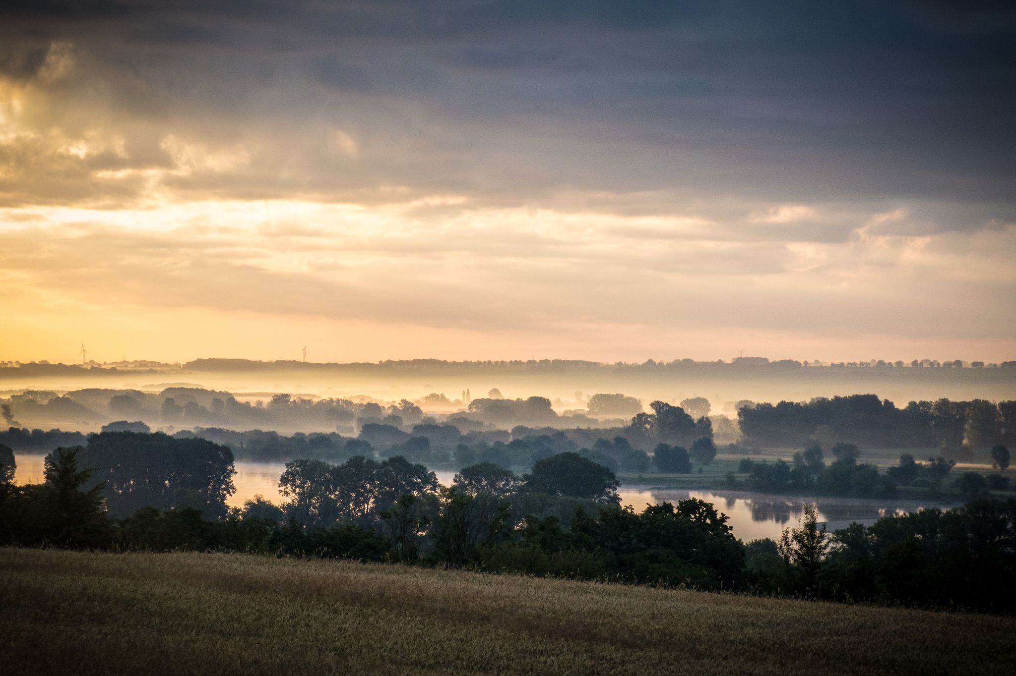
EuroVelo 9 – The Amber Route from the Baltic to Adriatic Sea
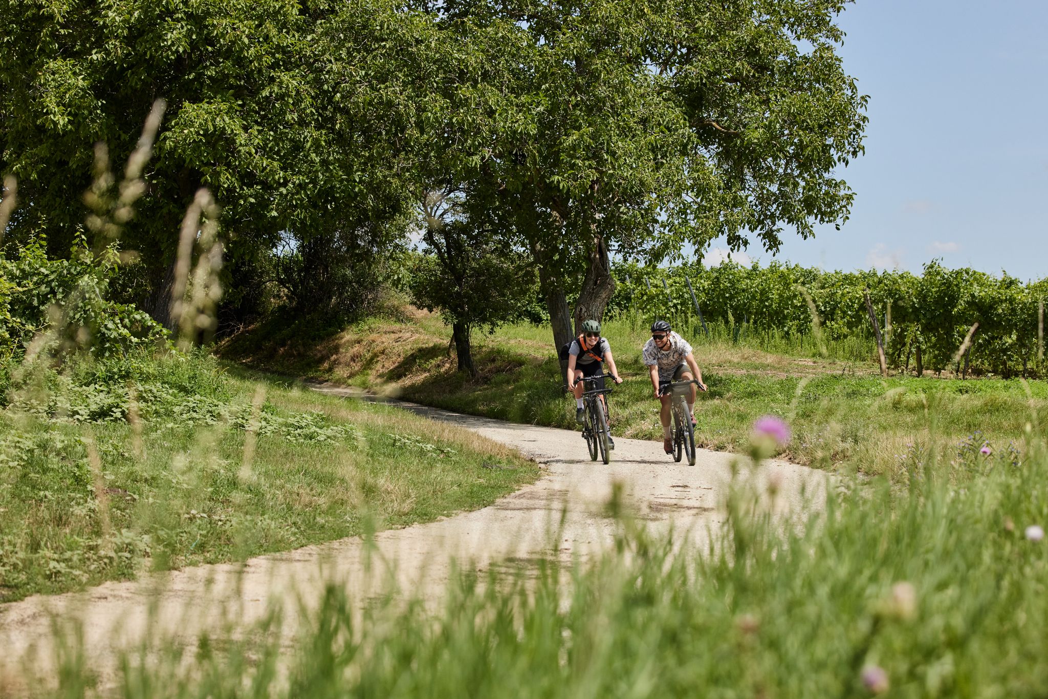
Cycling between the vines – wine routes in the Weinviertel
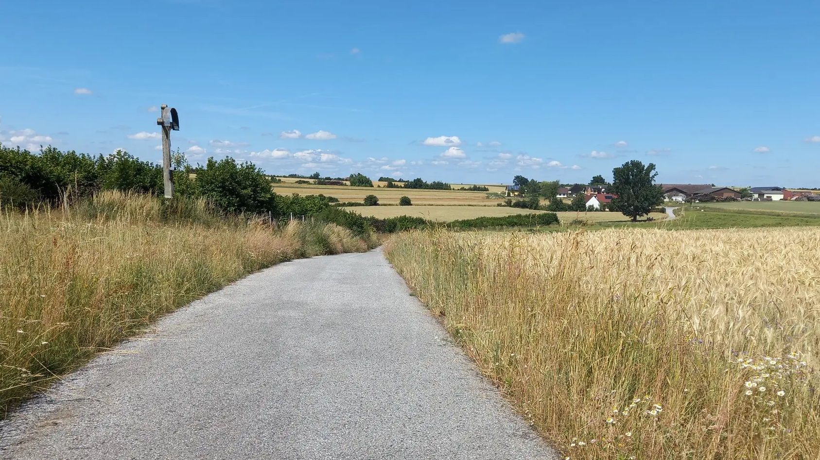
Cycling away from the crowds – Austria’s Kamp-Thaya-March Cycle Route
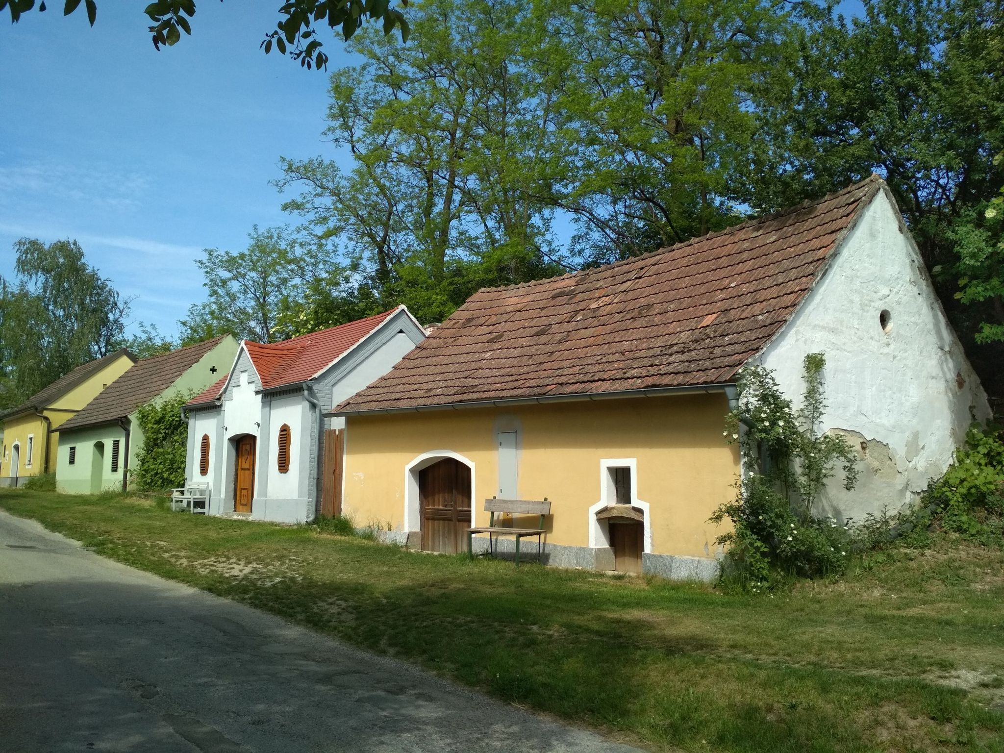
The most beautiful wine cellar lanes along the Jakobsweg Weinviertel
Jakobsweg Weinviertel
Die besten Orte der Stille
Natur erleben: Dein Wanderurlaub am Bauernhof
Die besten Orte der Inspiration
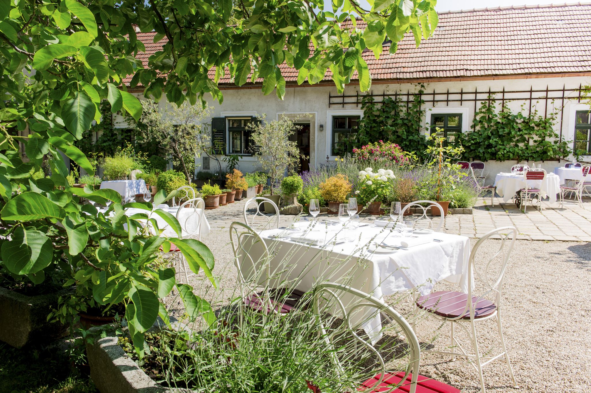
Die besten Orte für Genießer
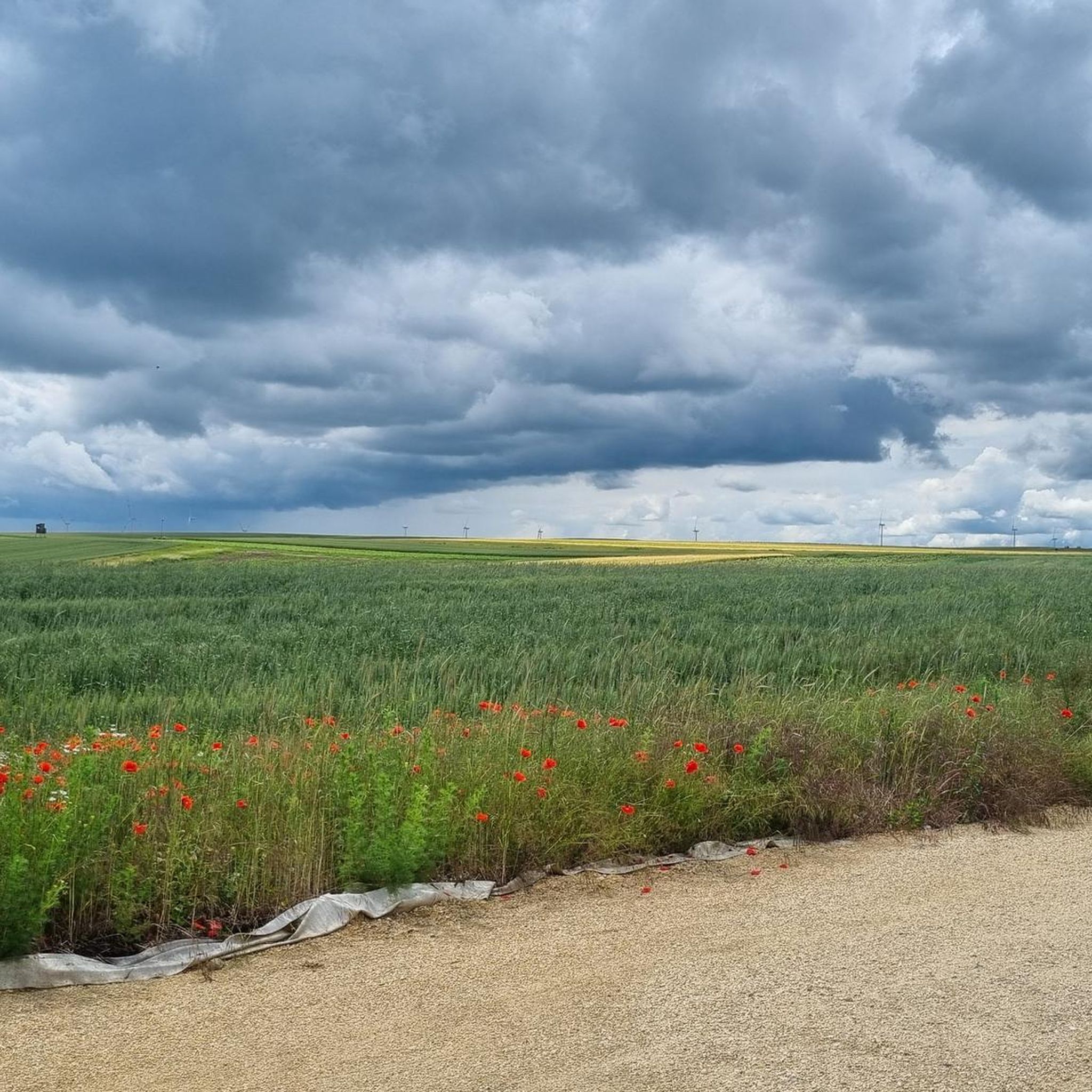
Cycling around Bezirk Mistelbach
Other adventures around Bezirk Mistelbach


Tips from the Community

Memorial plaque to Prof. Anton Gössinger, the founder of the Leiser Berge Nature Park
0
0

A few meters further is the summit cross
1
0

View is very nice
1
0

The summit is unfortunately a bit off the path in the middle of a field. There is a brick base with the inscription "TP". When the weather is clear, you can see as far as the Schneeberg from here.
1
0
I was last here on January 2, 2020, nothing has changed since then, not even the unnecessary and easily overlooked 😉 driving bans. That's why I was there today - if you want to believe me - by helicopter 😅
0
0

The gold hood is the larger of the two.
0
1

Near the summit is the Buschberghütte, it is at 484 m. In front of the hut is a playground, behind it is a radar station of Austro Control for civil aviation in eastern Austria.
4
0
The Kreuttal observation tower was built in 1985 by the working group for the promotion of the Unterolberndorf recreation area in the Kreutwald at 346m above sea level.
2
0
Frequently Asked Questions
What are the most prominent natural elevations in the Bezirk Mistelbach region?
The two most prominent natural elevations are Buschberg, the highest point in the entire Weinviertel region, and Staatzer Berg, a distinctive limestone cliff topped by historical ruins. Both offer unique experiences and panoramic views.
What kind of views can I expect from the mountain peaks in Bezirk Mistelbach?
From Buschberg, you can enjoy panoramic views over the undulating Weinviertel landscape, extending as far as the Czech Republic and Vienna on clear days. The Kreuttal Observation Tower also provides extensive vistas far beyond the Weinviertel and Marchfeld regions.
Are there historical sites to visit among the peaks?
Yes, the Ruins of Staatz Castle are a significant historical site. Perched atop the Staatzer Berg, these medieval ruins offer a journey into the region's past, with guided tours available from May to October.
Are there family-friendly activities or trails available at these peaks?
Absolutely. Buschberg, within the Leiser Berge Nature Park, offers family-friendly hikes and guided tours, including treasure hunts for children. At Staatzer Berg, special 'Betty Bernstein adventure' tours allow children to explore the castle ruins and their legends.
What makes Buschberg a unique destination?
Buschberg is unique as the highest elevation in the Weinviertel region and part of the Leiser Berge Nature Park. It features diverse landscapes, lime-loving plants, and the lowest-situated Alpine Club hut, the Buschberghütte. It's also home to the Buschberg Summit Cross, offering wide-ranging views.
What natural features can I observe at Staatzer Berg?
Staatzer Berg is a striking geological formation, a limestone cliff rising prominently from the Laa plain. It's part of the unique Waschberg zone, which divides the Weinviertel, making its geological features a point of interest alongside the historical ruins.
Are there easy hiking trails suitable for beginners around Bezirk Mistelbach's peaks?
Yes, the gently rolling landscape of Bezirk Mistelbach offers accessible hikes. For instance, Buschberg provides a network of marked hiking trails suitable for various fitness levels, including family-friendly options. You can find more easy routes in the Easy hikes around Bezirk Mistelbach guide.
What other outdoor activities can I do near these mountain peaks?
Beyond hiking, the region around Bezirk Mistelbach offers various outdoor activities. You can explore gravel biking routes, such as those found in the Gravel biking around Bezirk Mistelbach guide, or enjoy running trails, detailed in the Running Trails around Bezirk Mistelbach guide.
What do visitors enjoy most about the peaks in Bezirk Mistelbach?
Visitors particularly appreciate the panoramic views, especially from the Buschberg Summit Cross and the Kreuttal Observation Tower. The historical significance of the Ruins of Staatz Castle and the unique geological formations also receive high praise.
Is there a radar station on Buschberg?
Yes, near the summit of Buschberg, you'll find the Buschberg Radar Dome (Goldhaube), which is a radar station operated by Austro Control for civil aviation in eastern Austria.
Are there any other notable viewpoints besides Buschberg and Staatzer Berg?
Yes, the Kreuttal Observation Tower on the Glockenberg offers a fantastic 21-meter-high vantage point with clear vistas extending far beyond the Weinviertel and Marchfeld regions. Additionally, the Höllenstein Summit provides a great view over the entire region.
Can I find food or refreshments near the peaks?
Near the summit of Buschberg, you'll find the Buschberghütte, which is Austria's lowest-situated Alpine Club hut and is open year-round, offering a place for refreshments.
Most popular routes around Bezirk Mistelbach
Most popular attractions around Bezirk Mistelbach

Get inspired with the komoot mobile app


Didn’t find what you were looking for?
Discover Bezirk Mistelbach’s best peaks and summits by region:
Explore more
See even more amazing summits around Bezirk Mistelbach with these guides:
